A smartphone takes a photo in the forestApplication used in the forest
©Application used in the forest|Pexels/Pixabay

The best apps for your nature outings in the Alps

A connected experience

To find your next hike, identify an Alpine peak or an interesting shrub or find the name of a brightly shining star… Your carefully optimised telephone becomes a real Swiss Army knife. Here are our top nature applications.

Apps for preparing

For hiking, skiing or mountain bike outings

  • Visorando, Outdooractive or Chemins des Parcs (only on Android) for hiking. The first is a collaborative tool which lists more than 30,000 hikes. Find yours according to the length or difficulty. Visorando also serves as a satnav during your hike. The little extra of Chemins des Parcs: the application is run by the managers of Natural Regional Parks which guarantees reliable and official information on the routes.
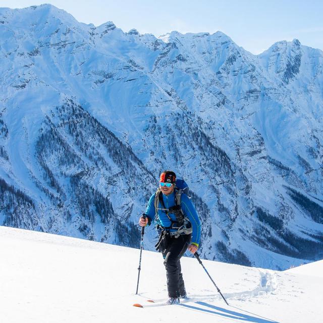
  • Ski+ or Skitude: hop on your skis and launch Ski+! The ski tracking app follows your performance and compares it to that of thousands of other skiers, in the resort or all over the world. The Skitude application allows you to follow the news of the resorts in real time, see the maps of the runs or buy your ski pass…
  • MyTrails: (only on Android): another tracking GPS to monitor your performance and challenge you on hikes, walking or cycling.
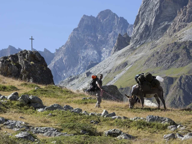
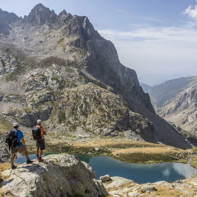
Apps to amaze you

Wonder at the peaks, plants or birdsong

  • PeakFinder (paying): Don’t miss a single mythical summit! The application identifies the surrounding peaks for miles around. Just point your smartphone at the landscape. You can use it in camera mode and even in offline mode.
  • PlantNet: find out everything about plant life by simply identifying a plant with a photo, you can do it!
  • BirdNET: for real-time identification of the birds singing around you and finding out more about them. Pure magic!

Apps for getting around and finding out where you are

For carpooling, transport or cycling

  • Blablacar: useful for carpooling (and limiting the use of your car).
  • Moovit: get from point A to point B with local public transport and see real-time schedules.
  • Géovélo: useful if you’re exploring the Alps by bike, it shows the safest and most suitable itineraries.
  • MAPS.ME: download detailed maps which can be used offline so you can’t get lost.

Apps for finding information and warning

Weather forecast, snow cover and the state of the trails

  • Météo France: for accurate forecasts and snow and avalanche bulletins.
  • Skiinfo: to consult the state of the runs and snow cover in real-time and see photos of the runs in your favourite resorts.
  • SAIP (Suricate): set up by the government, the application is designed to allow people doing outdoor activities to report a problem (source of pollution, conflict of use, erroneous signposting or defective equipment).

Apps to eat well and dream

  • LaFourchette (TheFork): Feeling peckish? Book a nearby restaurant easily
  • Star Walk 2: identify the stars in real-time by pointing your telephone at the sky. The Alpine sky is one of the purest in Europe – you’re in the right place!
  • Our website provence-alpes-cotedazur.com/alpes/, the ULTIMATE guide for finding the best things to do in the Alps 🙂