Hiker holding a handrail on a Queyras hiking trailHiker in the Queyras massif in the Hautes-Alpes
©Hiker in the Queyras massif in the Hautes-Alpes |Van Rijn.R

La Grande Traversée des Alpes in the Sud region

Mountains, panoramas and traditions

An unforgettable 620-km trek through the majestic landscapes of the Massifs des Cerces, the Queyras, the Ubaye, the Mercantour and the hinterland of Nice, La Grande Traversée des Alpes is a demanding itinerary which guarantees total immersion in breathtaking panoramas before ending in the comforting waters of the Mediterranean.

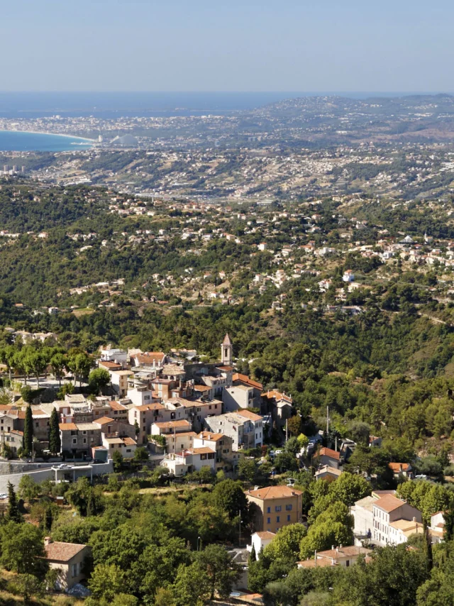
An itinerary through the French Southern Alps

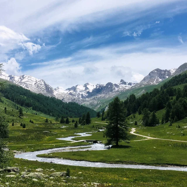
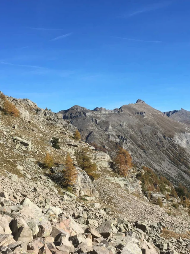
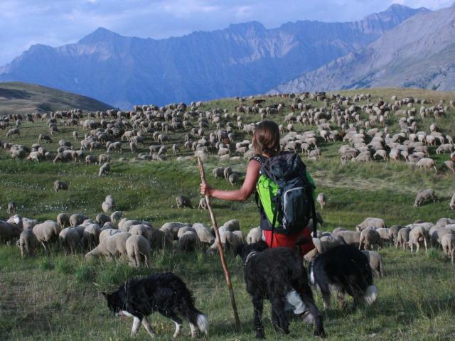
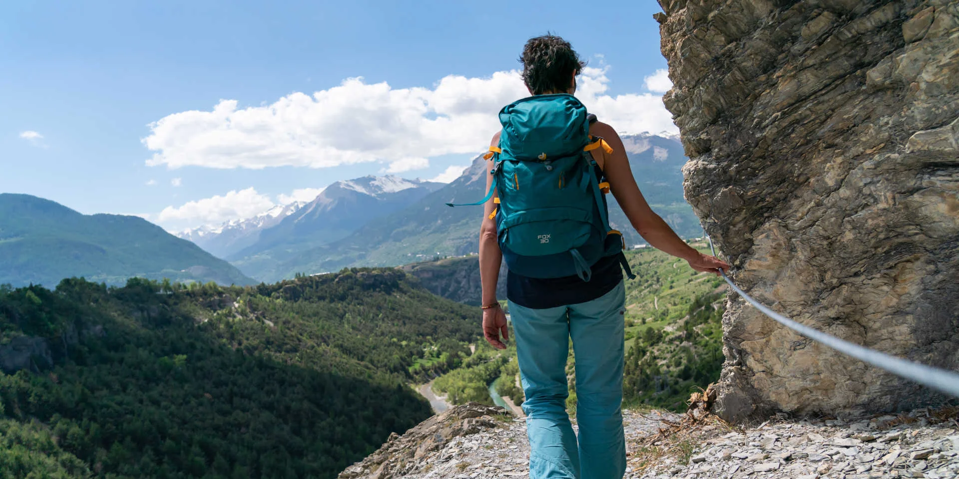
Nicknamed “the European path”, the GR®5 links the North Sea to the Mediterranean on a 2600-km route from Rotterdam to Nice. Its southern part, la Grande Traversée des Alpes (GTA), is the portion which starts at Lac Léman and ends at the sea after an adventure of 620 km. In the Sud region, the journey starts very precisely after the Refuge du Mont Thabor hut, in the Massif des Cerces. This haven of peace in the Alpine pastures in a Natura 2000-listed site is a 20-minute walk off the GR®5 track and marks the end of the last stage in Savoie. From then on, the itinerary enters the Hautes-Alpes and continues through the magnificent landscapes of the Queyras, Ubaye and Mercantour Massifs. Please note that the Grande Traversée des Alpes is demanding and quite difficult, with mountain paths with large height differences, which can impose up to 1,300 metres of positive height difference at each stage. So it’s more for seasoned hikers!
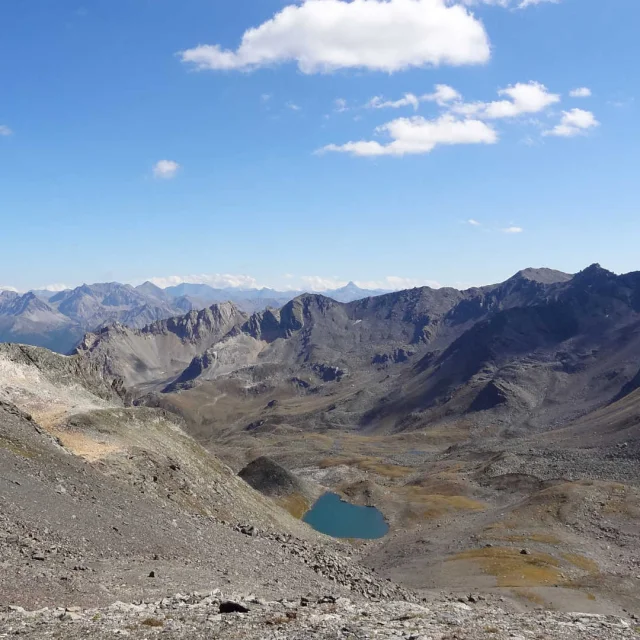
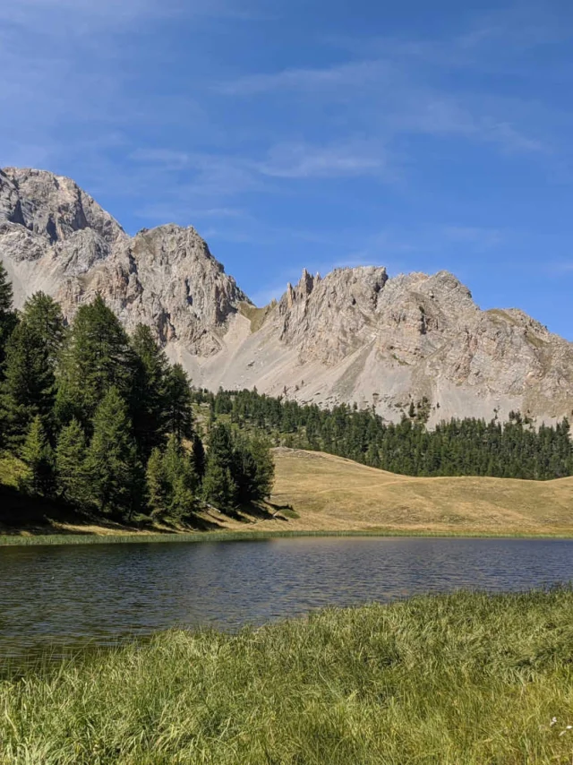
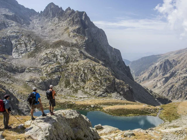
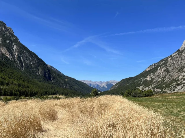
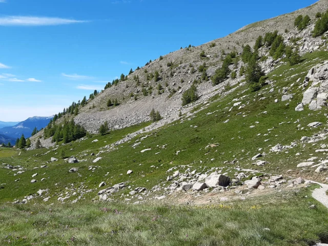
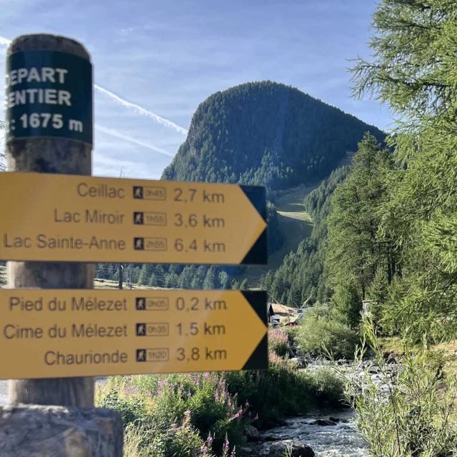
An excursion in the Massif des Cerces

From the Refuge du Mont Thabor hut, you can get back to the GR®5 at the Col de la Vallée Étroite, the entrance to the Hautes-Alpes. The hardier among you can try climbing Mont Thabor (3178 m) and enjoy a 360° view of the Écrins, Aiguilles d’Arves and the Vanoise. Next, the itinerary starts descending steeply to the hamlet of Les Granges de la Vallée Étroite in the middle of an incredible landscape: Mont Thabor, le Grand Séru and le Petit Séru on one side and the Rois Mages chain with its three points, Balthazar, Melchior and Gaspard on the other. Open your eyes wide, this is the home of golden eagles and black grouse! Head for Névache and the hamlet of Plampinet, where you can admire Lac Chavillon, opposite Mont Thabor. When you arrive in the hamlet, head for L’Auberge de la Cleida, a former military barracks renovated as a rustic, warm gite. The next day, the Vallon de l’Opon will take you from Alpine prairies and rhododendrons to the Col de Dormillouse, before going on to Montgenèvre via the high, desolate crest of La Lauze.

Discover the treasures of the Queyras

From the Massif des Cerces to the Massif du Queyras, the GR®5 goes through the Briançonnais where it unveils all its treasures, including the impressive Barracan and invites you to discover the life of a traditional Briançonnais village with its centuries-old chapels and view over the mountains. The climb which follows to the Col des Ayes marks your entrance into the Queyras Natural Regional Park, where the landscape opens onto a mineral theatre with the Écrins to the north and the Massif du Queyras, up to Mont Viso, to the south. The hike continues along the L’Izoard torrent to the Lac de Roue, surrounded by larch trees with a plunging view of Fort Queyras. On the way, you must stop off at the Gîte de la Teppio, a mountain chalet with a friendly atmosphere which has its own grocery store! In Fort Queyras, the medieval castle dates back to the second half of the 13th century and was remodelled by Vauban. It’s a listed Monument Historique and well worth seeing. Nearby, the Gîte des Astragales has a comforting place in front of the fireplace and a sauna, which is well-deserved after your efforts. At the Col Fromage, the panorama of Ceillac is magnificent. Stop off at the Gîte des Baladins in this typical village before continuing on your way. And next you’ll come to the Cascade de la Pisse waterfall, the highest in the Queyras, Lac Miroir, in the middle of a bucolic setting of larch trees and prairies, and Lac Sainte-Anne, an Alpine gem of a lake at the foot of the peaks of the Queyras. When you get to Col Girardin, this is where the Ubaye takes over from the Queyras!

Immersion in Haute-Ubaye

The preserved sanctuary of the Haute-Ubaye unfolds its lush green valleys, vertiginous mountains and historical treasures, making up a striking picture. Maljasset, an authentic hamlet surrounded by impressive peaks, welcomes you to its Gîte-auberge de la Cure where the Longeron family perpetuates the tradition of mountain hospitality. As you walk towards Fouillouse, you are going along beside the Ubaye River, and you can see the majestic peaks of La Font Sancte and Panestrel. The Vallon de Plate Lombard reveals the ruins of the Fort de Plate Lombarde, the silent witnesses of the Maginot Line of the Alps. Then the itinerary continues to the Col de Mallemort and the Batterie de Viraysse, before coming out onto the Mallemort plateau and its vast Alpine prairies. In Larche, the highest village in the Alpes-de-Haute-Provence, the Gîte-auberge du Lauzanier at the gateway to the Mercantour has family-style, comforting cuisine. Not far from there, the Lac du Lauzanier offers a natural spectacle where, with a bit of patience and observation, you’ll see marmots playing between the rocks.

Mountains and a cultural epic in the Mercantour

Welcome to the magical world of the Mercantour National Park! From the Col des Fourches, the Salso Moreno valley unfolds in prairies and sparkling streams, while the Gîte de Bousieyas promises a restorative rest. At the Col de la Colombière, enjoy a striking panorama before going down towards Saint-Dalmas-le-Selvage, one of the highest villages in the Alpes-Maritimes, perched at an altitude of 1,500 metres. Saint-Etienne-de-Tinée, where the warm welcome at the Gîte Le Corborant is well worth a cultural break to admire its pastel facades, sundials, chapels, frescoes and museums. And now you cross the Auron plateau which leads to the Col du Blainon, and the belvedere “des chamois” which embraces the whole Tinée valley and the barrier of mountains on the border with Italy. The hamlet of Roya, a remote haven of peace where the pastoral activity lasts from June to October, has a gite with the same name. The crossing of the Mercantour then continues from cols to Alpine pastures, dominated by Mont Mounier, to the Longon Alpine pasture and its vacherie-refuge (cow stable), where a family and its herds continue a pastoral tradition for four months of the year. In Roure, a medieval village with bright red roofs, there is agropastoral activity and little picturesque streets with a plunging view of the Tinée valley and as far as Saint-Sauveur-de-Tinée. Further on, Rimplas, a hilltop village between the Tinée and Valdeblore valleys and then Saint-Dalmas-Valdeblore, a sun-kissed hamlet of calm and serenity, especially at the Gîte d’étape des Marmottes.

End of the trail in the hinterland of Nice

After having left the protected setting of the Mercantour National Park, the GTA begins its descent towards the Mediterranean through the contrasting landscapes of the hinterland of Nice. The itinerary is then punctuated by a succession of cols – Anthion, Fournès, Grateloup, Brec, Castel Ginestre – before it reaches Utelle, a charming little village perched on a rocky spur. The medieval village, famous for its Son sanctuaire de la Madone and the Chapelle du Cros looks down over the Gorges de la Vésubie and invites you to stop off at the stopover gite in Utelle. Then it’s on to Levens, a fortified village watched over by Mont Férion, which offers a spectacular view of the Var plain as far as the sea horizon. Aspremont has an exceptional panorama over the Côte d’Azur sea and the Pays niçois. As you advance, the vegetation changes, little by little taking on Mediterranean characteristics: cork oaks and juniper gradually replace the Alpine lora.

Ean now, Nice appears in all its splendour, promising the ultimate reward after this epic crossing: a good swim in the Mediterranean as a perfect end to this adventure!