Col de la Bonette
Col de Vars
Col de la Cayolle
 Randonnée dans la Vallée de l'Ubaye
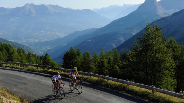
Throw yourself into a unique adventure at the gateway to Mercantour National Park as you tackle the “Brevet des 7 Cols” challenge. Over 400 brave cyclists take up the gauntlet every year. Your mission? Conquer Ubaye Valley’s seven magnificent mountain passes, one by one, departing from Barcelonnette: a total of over 400 km of cycling routes criss-crossing the Southern Alps. First, get hold of the special “carte à composter” punch map available from the Ubaye Valley Tourist Offices. Next, locate the special terminal at the top of each pass, then punch your map to confirm you’ve completed the climb! Tip: we recommend embarking on this adventure in spring or autumn, when the temperatures are higher and more agreeable. And once you’ve conquered all 7 mountain passes, you’ll receive your prestigious diploma from the partner tourist offices!
Kick off your Southern Alps cycling challenge with the “Montée de Sainte-Anne” . This ascent replaces Col de Larche, which is currently closed to cyclists, and is ideal for getting your legs in tip-top shape before tackling the other mountain passes. Perched at 1,840 metres, the pass rub shoulders with the peaks of Parpaillon and offers an awe-inspiring aerial view. We love the trail leading from the chapel to Sainte-Anne ski resort and its breathtaking vistas. Keep your eyes peeled: you can often spot chamois grazing here, adding to the valley’s picturesque decor. And as the old French saying goes, “After effort comes comfort”!
Stage profile
Top addresses: treat yourself to a gourmet stop-off at the restaurant Chez Virginie and a well-earned night’s rest at La Condaminoise, a B&B in the charming village of La Condamine.
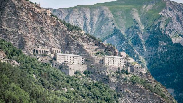
Stage two: the summit of Col de la Bonette by bike, at an altitude of 2,802 metres – a stiff, 32 km challenge, but well worth your while. To get there, you’ll need to take the road linking the valleys of Ubaye and La Tinée, at the heart of the beautiful Mercantour National Park. This is Europe’s highest tarmacked road, connecting the Mediterranean to the Alps. Along the way, you’ll come across ancient military barracks and huts. And the view from the summit, spanning the two valleys, is truly breathtaking. Check out the orientation table if you want to see exactly where you are, or simply rest on your elbows and lap up the spectacle.
Stage profile
Top addresses: a well-deserved break awaits you in the village of Jausiers, where you can savour delicious local dishes at the restaurant Les Arcades before relaxing at the aptly-named Hôtel Le Sans Souci (carefree hotel).
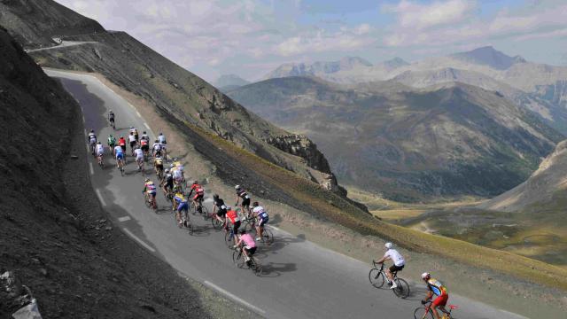
It’s time to head to Col de Vars for a memorable ascent of the Southern Alps by bike. Perched at an altitude of over 2,108 metres and with an uphill slope of over 1,000 metres, this itinerary will definitely test your limits. The route crosses majestic mountains and the “demoiselles coiffées” or “young ladies with hats”: a series of unique geological formations that lend these mountainscapes their unmistakeable silhouette. Stunning panoramic vistas over Alpine scenery await you at the top – and remember to take a selfie to mark your victory.
Stage profile
Top addresses: spice up your ascent with a stop-off at Chez Carole in Saint-Paul-sur-Ubaye, for a totally unique night in a Mongolian yurt. And if you’re feeling peckish – which we’re sure you are – head over to the restaurant L’Ubaïa for a delish dinner!
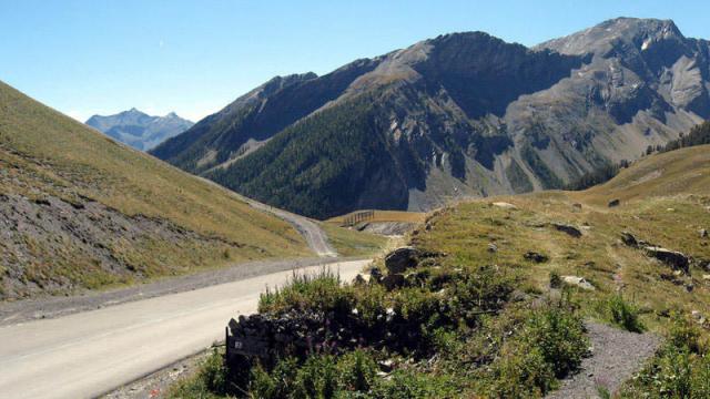
The adventure continues on one of France’s most beautiful mountain passes: Col de la Cayolle . The ascent to the pass, teetering at a heady height of 2,326 metres, is ranked among Europe’s 30 most beautiful climbs by the magazine “Le Cycle”. The authentic, old-fashioned style route snaking around the slopes to the top of the pass measures 29 km in all and crosses Mercantour National Park. This 100%-natural foray through winding roads, forests, waterfalls and little hamlets is an absolute marvel. Pause awhile to admire the mountain pastures and animals that reign supreme here – rumour has it that marmots love popping out to cheer on cyclists!
Stage profile
Top addresses: after the ascent, treat yourself to a welcome refuelling stop at the restaurant Le Gaudissart or Hôtel La Grande Epervière in the little village of Barcelonnette.
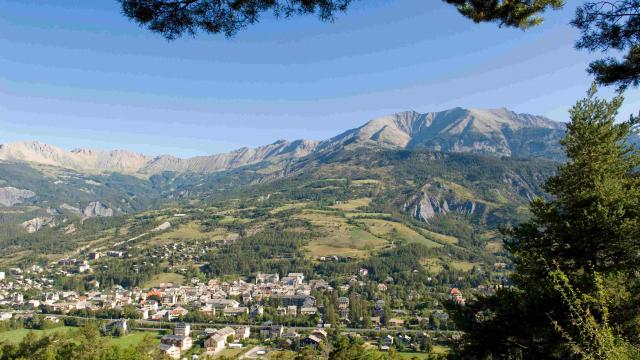
Our next cycling challenge is the exceptional itinerary linking Ubaye Valley to the Verdon via Col d’Allos : a very famous mountain pass regularly featured on the Tour de France line-up and a must for your future diploma! Follow in the footsteps of our racing heroes on this unique, 20-kilometre road carved into the rock face. Towering over Bachelard gorge, the views are simply astounding. Enjoy a rest on the wild beaches bordering Bachelard river, ideal for recharging your batteries and resting your calves.
Stage profile
Top addresses: if you want a longer break, take time to savour lunch at the restaurant Le Prieuré or spend a cosy night at the La Charlisa B&B in Pra Loup.
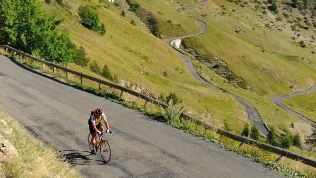
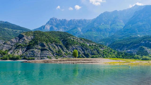
Your “Tour des Alpes” continues with a slightly more relaxing ascent of Col Saint-Jean , perfect for easing your tired muscles and indulging in a spot of reverie. With its gentle slope winding up to the pass at 1,333 metres and geographical location guaranteeing often-ideal cycling conditions, this is a dream route for aficionados. The views over Serre-Ponçon lake are divine too: gaze in awe at the endless expanse of emerald water as the kilometres speed by. You can also set out from Barcelonnette and enjoy a downhill slope to the pass. The itinerary measures 33 km, but you can linger longer if you’re having fun and pedal on to Col de Maure, Verdaches or Col du Fanget.
Stage profile
Top addresses: just a stone’s throw away, the village of Lauzet-Ubaye is home to Hôtel la Lauzetane and its restaurant Le Relais du Lac, welcoming cyclists for a much-needed rest in the heart of the mountains.
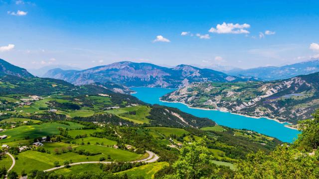
Your cycling tour of the Southern Alps isn’t quite over yet: it’s time to give it your all on Col de Pontis . Perched at an altitude of 1,301 metres, this is the smallest of the 7 mountain passes, but definitely not the simplest! The road leading out of the old village of Ubaye climbs steeply and the terrain is pretty rugged. Take the winding trail coated with gritty tarmac climbing 5 km to the summit. It’s tough, but when you reach the top, the sublime view over Serre-Ponçon lake promises instant solace.
Stage profile
Top addresses: enjoy a gourmet stop-off at the fabulous restaurant Le Moss in Ubaye-Serre-Ponçon, topped with a snug night at the L’Arnica B&B.
