Bayons
Grand Vallon
Le Caire
Sigoyer
Plateau de Valmeih
Watching over the Durance from its citadel, Sisteron is the starting point of your itinerary. Head north. Give the motorway and the Grande Route des Alpes the cold shoulder, aiming instead for the D951 – marked in yellow on the map. Here you are in the Vallée de la Sasse, where the terrain shaped by erosion alternates between valleys with ravines, narrow gorges, and mountains hollowed out by water and wind. After Clamensane and its aquaduct, the landscape becomes wild. Then, the Bayons gorge will guide you across a wide basin.
When you arrive in Bayons, stop in front of the mediaeval church. A registered historic monument, it combines Roman and Gothic art. Then get back in the saddle, heading for Turriers. After a series of very steep hairpins called « tourniquets, » you arrive at the Col de Sagnes which peaks at 1,200 metres. In summer, the poppies stud the field with little red spots. A magnificent spectacle! Then head back down towards Turriers, where an orientation table will explain the expansive panorama over the Massif des Écrins. After Bellaffaire, turn left onto the D951.
Neighbouring the Durance, the Vallée du Grand Vallon weaves to the north of the Alpes-de-Haute Provence, on the edge of the Hautes-Alpes. When you arrive in Gigors, get refreshed at the five-piece fountain fed by the spring which rises in the village and never runs dry. Afterwards, cross the Col de Sarraut, then go along the Grand Vallon towards Le Caire. Apple trees, pear trees, peach trees, and dazzling colours – you won’t know which way to look. Here, the landscape plays with contrasts and the mineral environment is a geologist’s delight.
In Le Caire, the rock (« caïre » in Provençal) that dominates the town makes people dizzy. Need to stretch your legs? Let yourself be tempted by the thrills of the Via Ferrata 2km before the village. Enthusiasts travel far to try its aerial sporting trail. To recover after your climb, quench your thirst at the village fountain. Next, follow La Motte du Caire. Take the D104 towards Melve and turn left onto the D304. The road passes across a plateau which offers an almost aerial view as far as Le Champsaur.

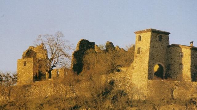
From the terraces of the Château de Sigoyer, admire the panoramic view of the Val de Durance. This historic place is home to the Route Napoléon, which the emperor took on his return from the island of Elba. An interactive display retraces the history of the château thanks to a virtual reconstruction. After this journey through the past, it’s time to get back on the road and head down towards Sisteron. On your left, you will see the Plateau de Valmeilh. This landscape offers an arresting snapshot: a bastide or a field of blue flowers with the mountains as a backdrop. After Valernes and its mediaeval remains, the D951 will bring you back to Sisteron.
