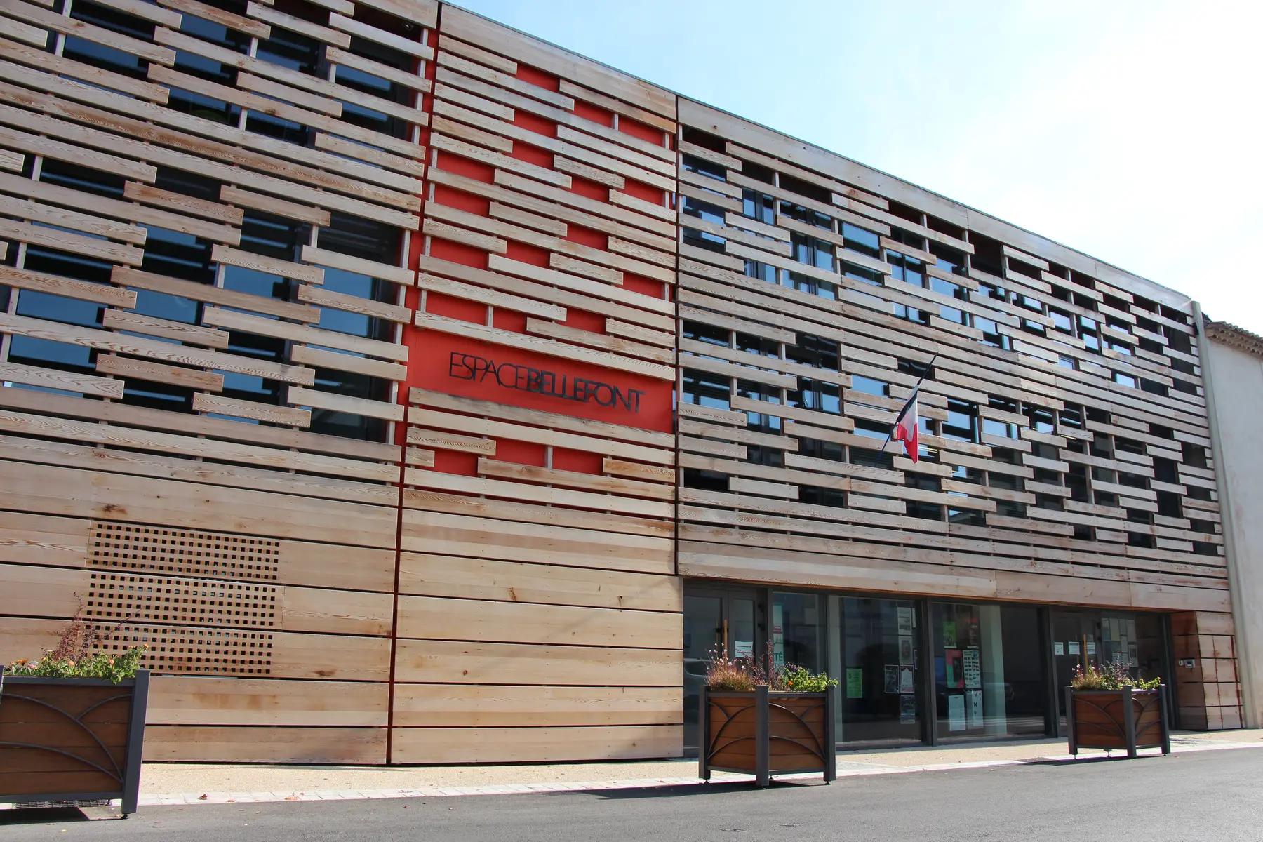
All the tourist information you need! Push open the doors of Espace Bellefont, where you'll find the Saint Mitre les Remparts tourist information office.
A maze of narrow streets leads to the church, from where there is a fine view of the Engrenier Lagoon.
Saint-Blaise Archaeological Site
There is a splendid panoramic view from this wooded archaeological site separating Citis Lagoon and Lavalduc Lagoon. The site took its name from the charming Romanesque chapel of Saint-Blaise. The front of the chapel was altered in the early 17th century.
The Saint-Blaise oppidum is a rocky spur whose natural defences - high vertical cliffs - are reinforced by successive ramparts. This abrupt plateau was inhabited from the 7th century B.C. to early Christian times and then episodically in the Middle Ages. After its last sacking in 1390, it was never occupied again. Several remains left by the different occupants of Saint-Blaise can still be seen, including Hellenic ramparts, a 5th century stone-faced enclosure, the remains of two churches, a necropolis, and so on.
Accessible for disabled