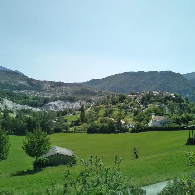
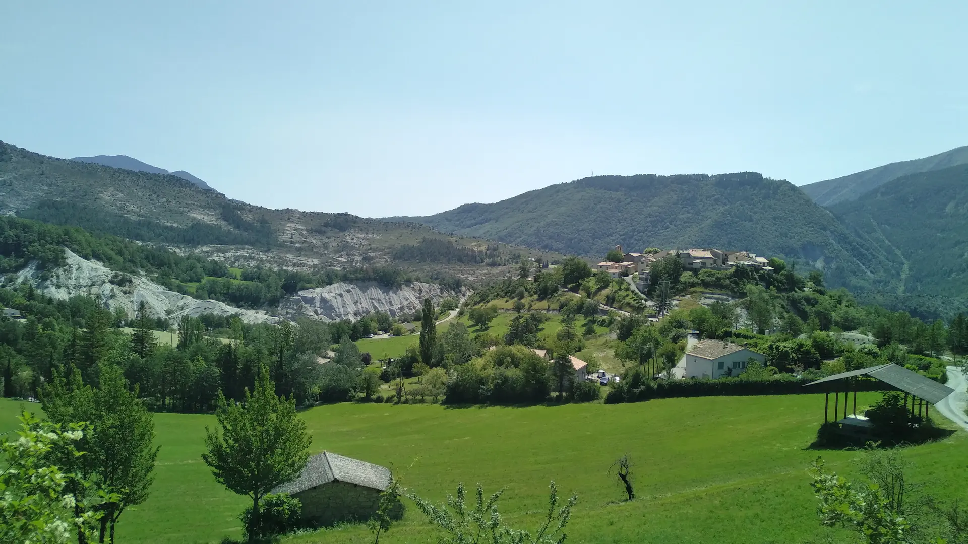
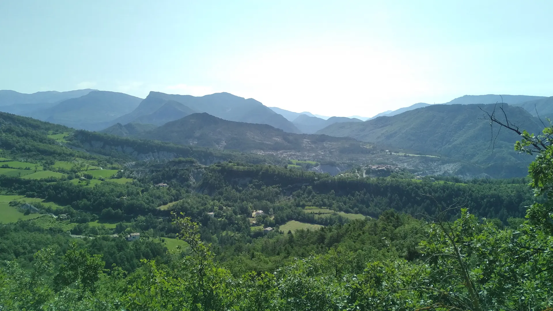
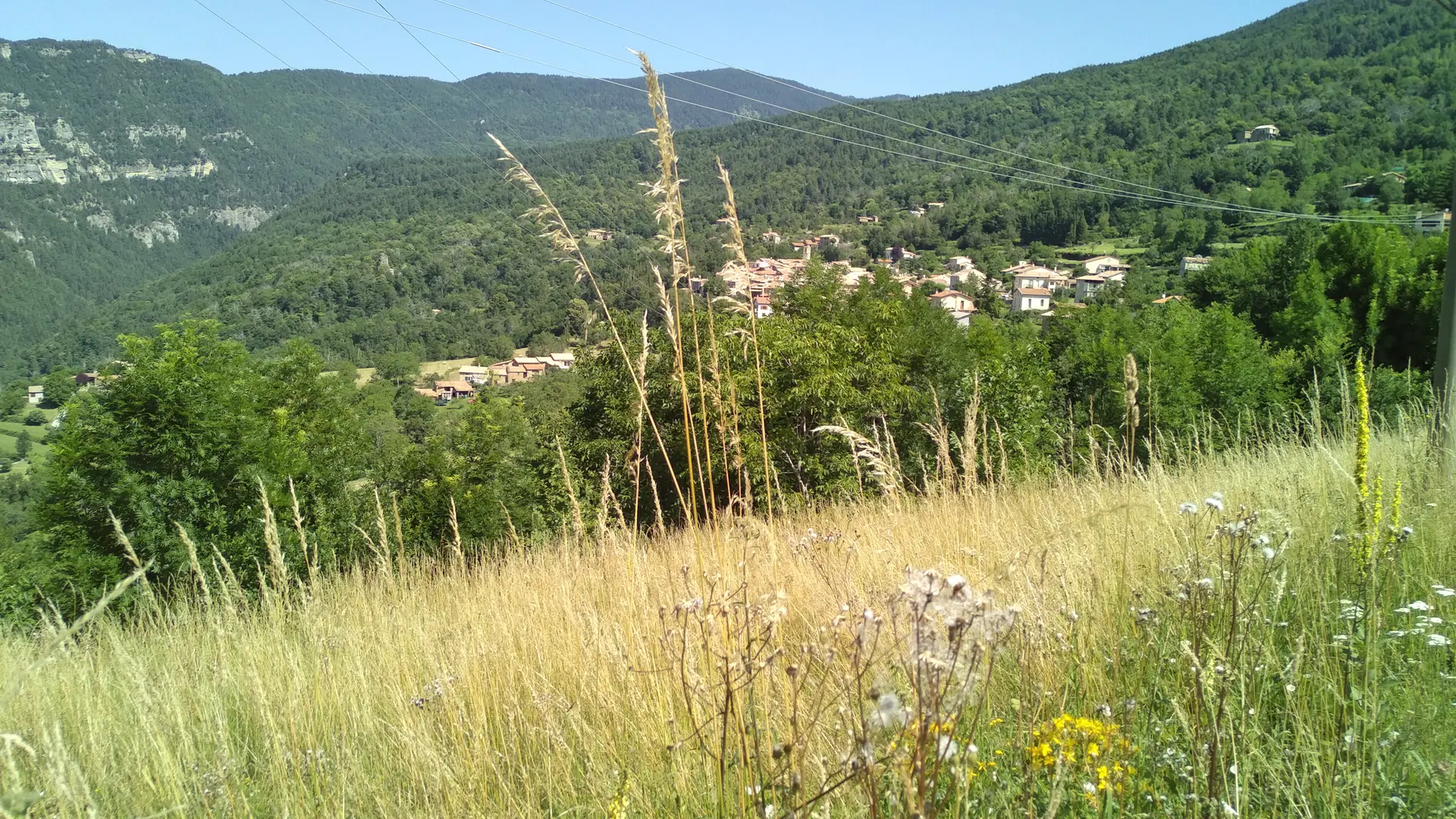
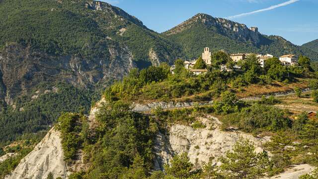
In a very characteristic environment of sandstone and blue marl, this hike takes in two pretty villages. Saint Benoît, perched on a rocky knoll, and Braux, surrounded by chestnut trees.
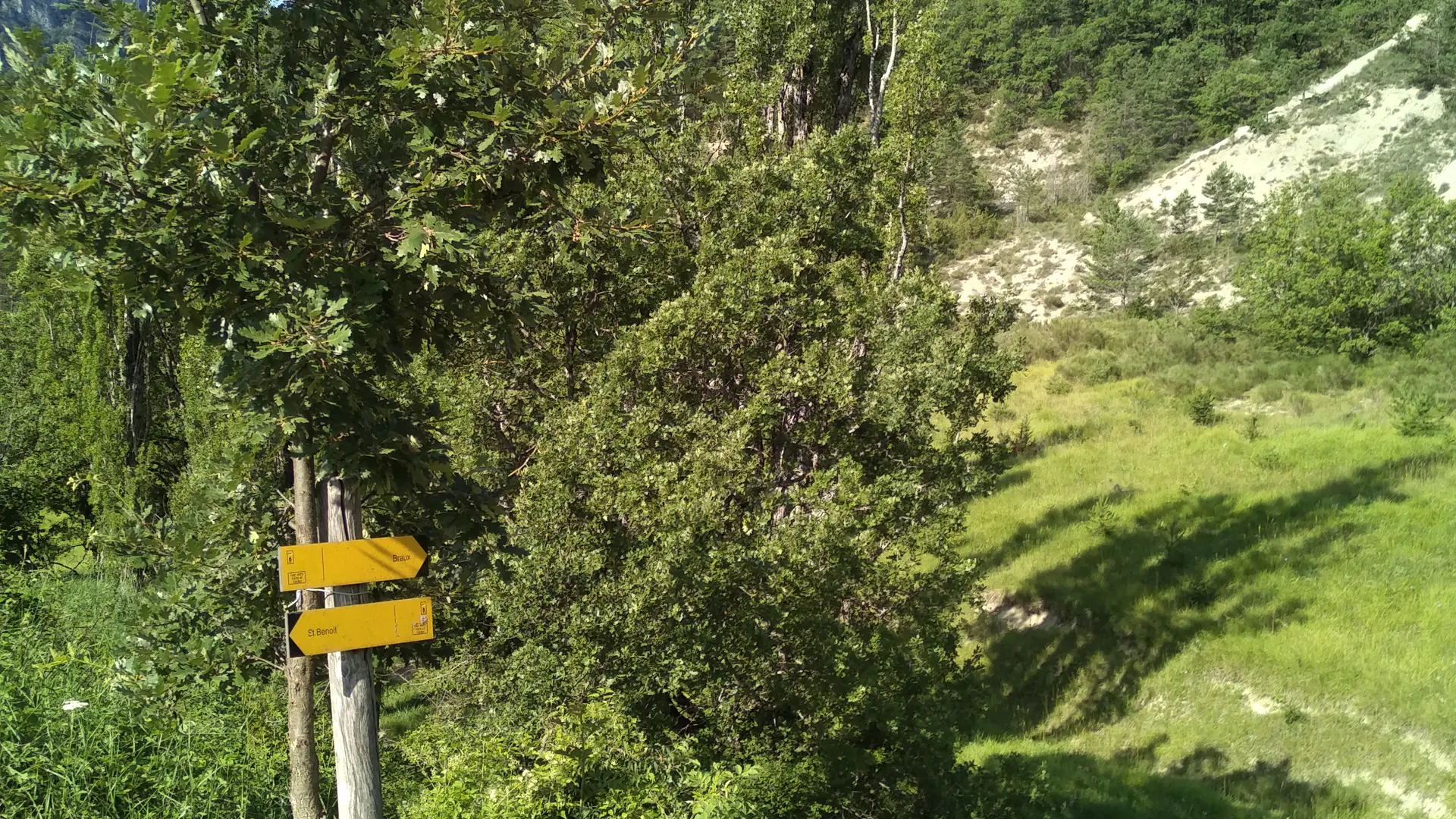
From the chapel below the village, turn left onto the road that runs alongside the ravine (yellow signpost). The road rises to a small plateau, ignore the road to the right and take the one that runs down into the Gros Vallon ravine until you reach a signpost to Braux on the right.
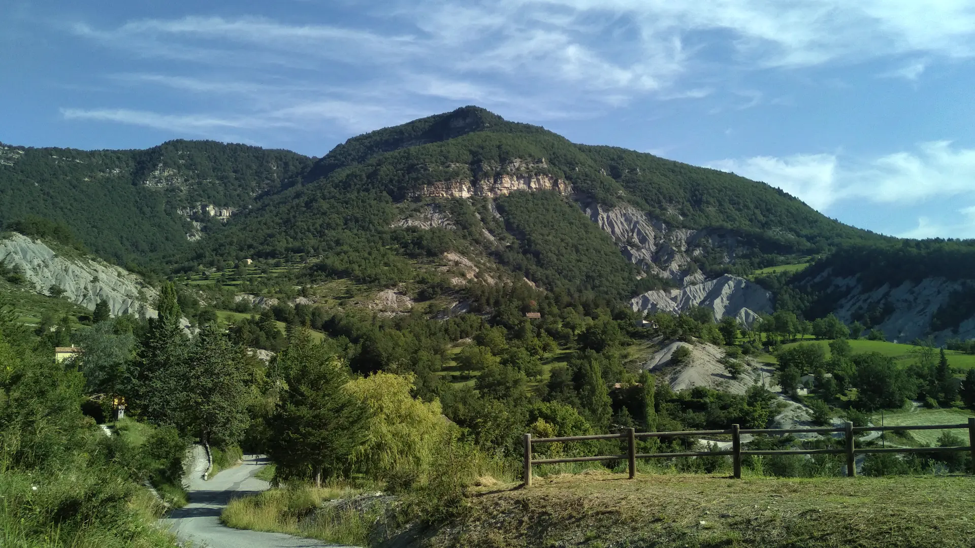
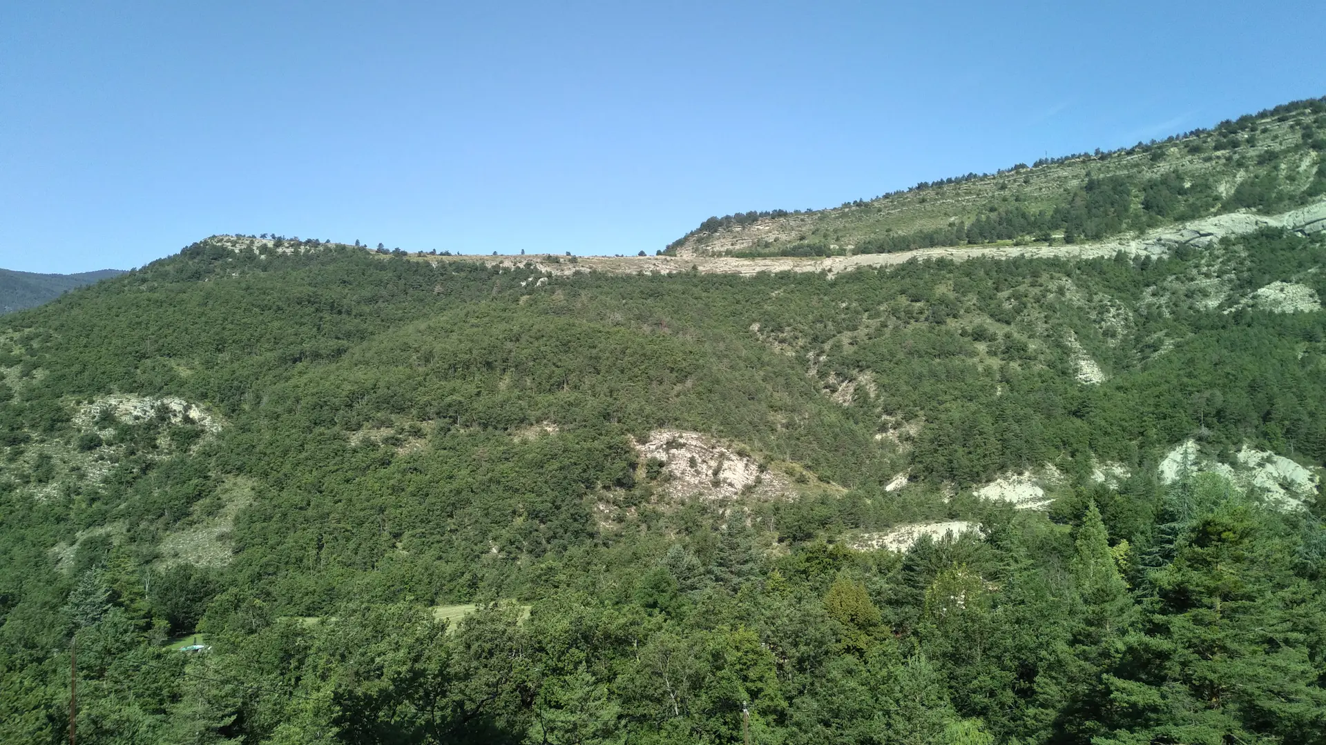
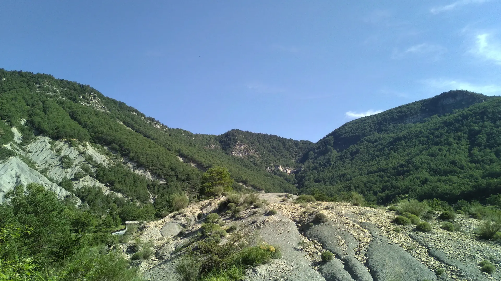
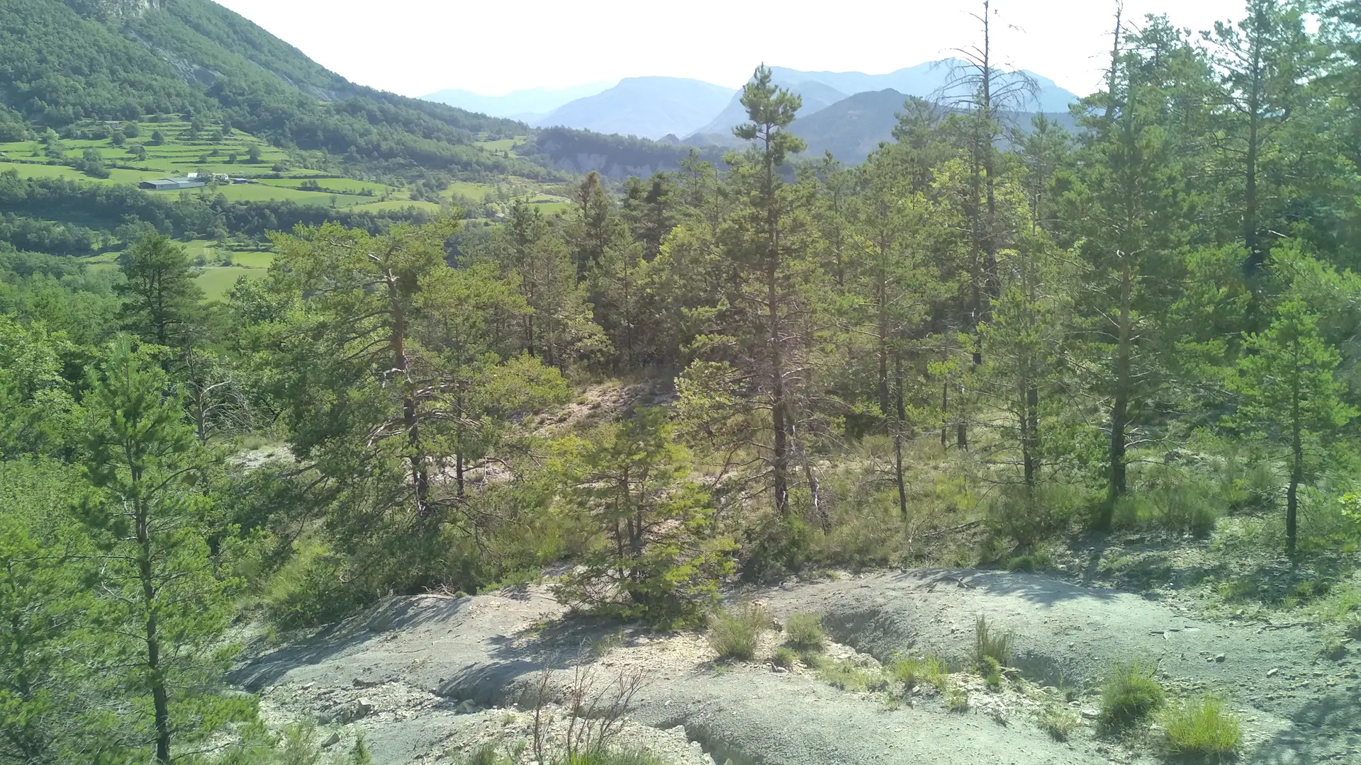
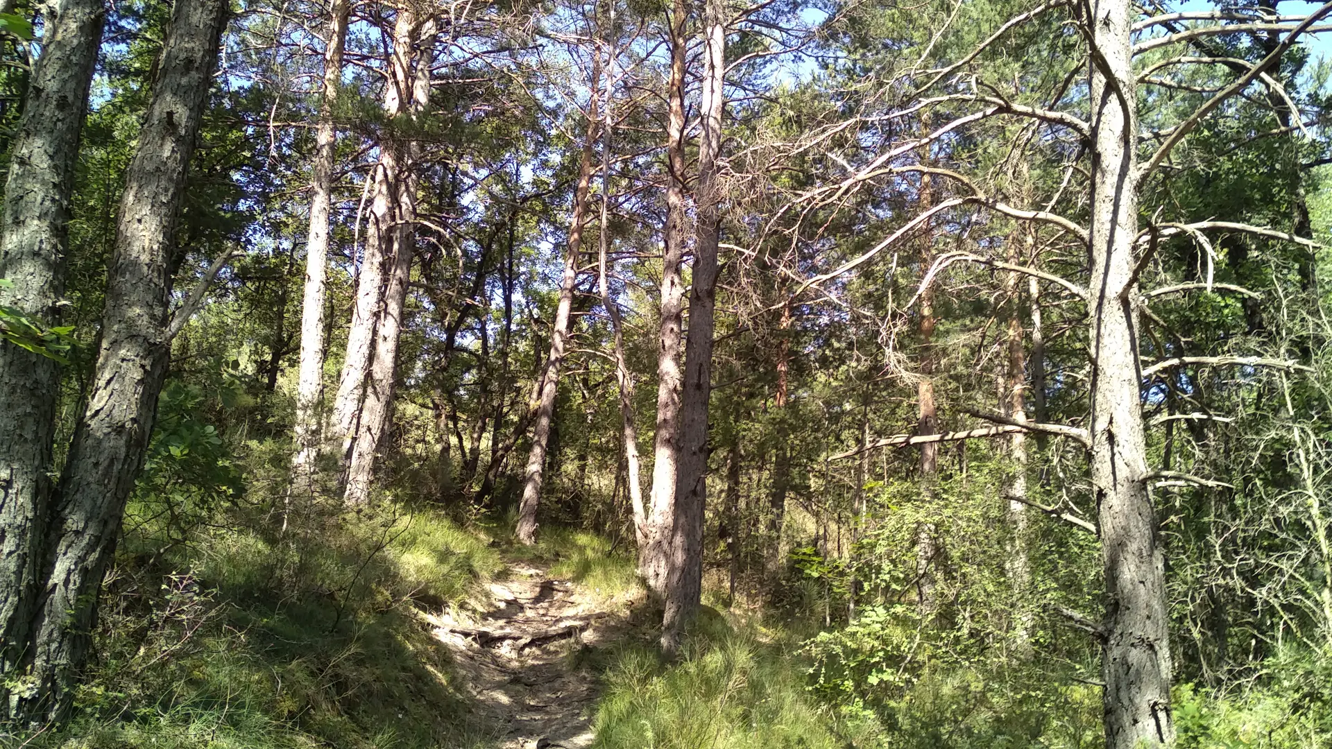
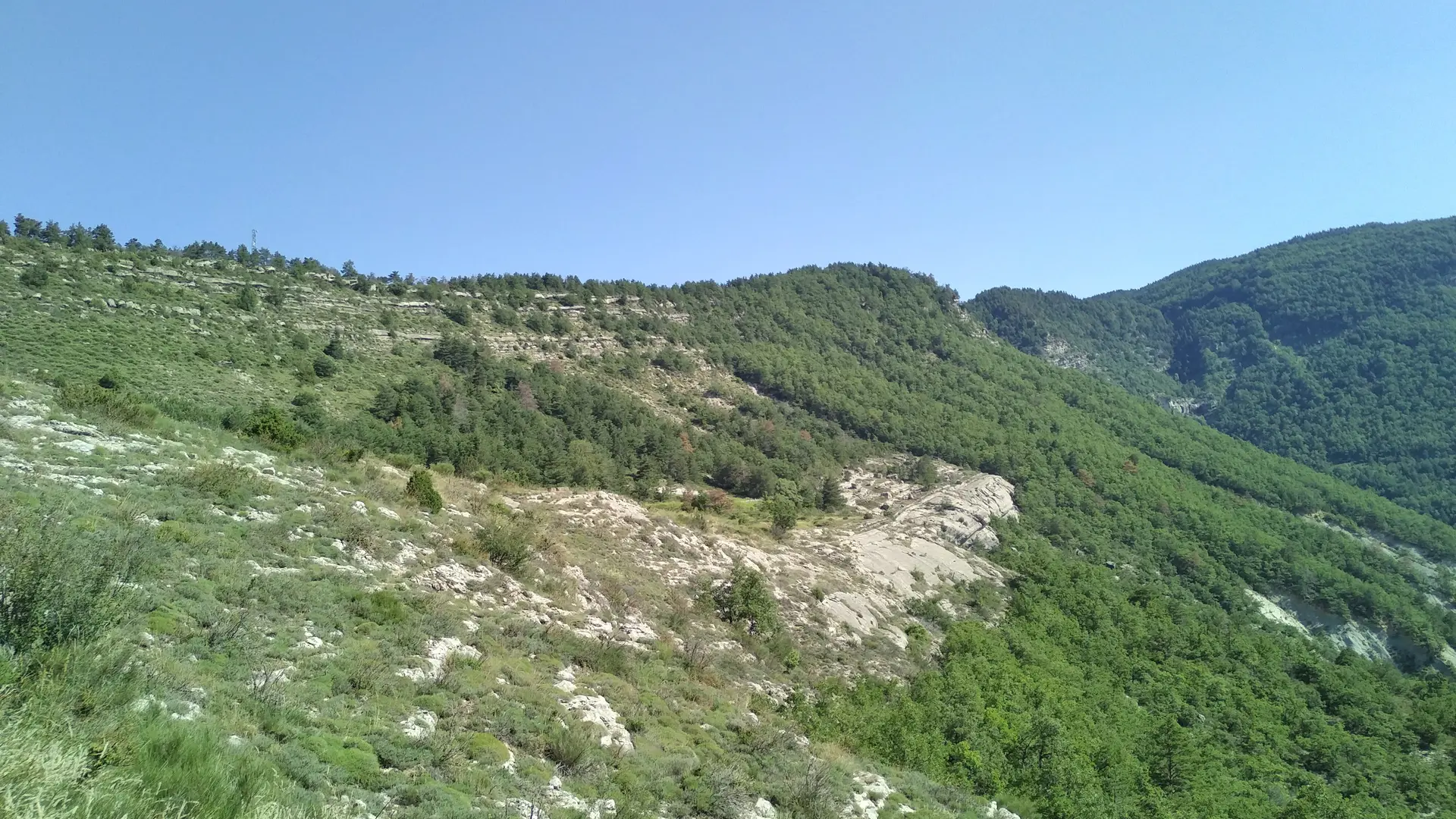
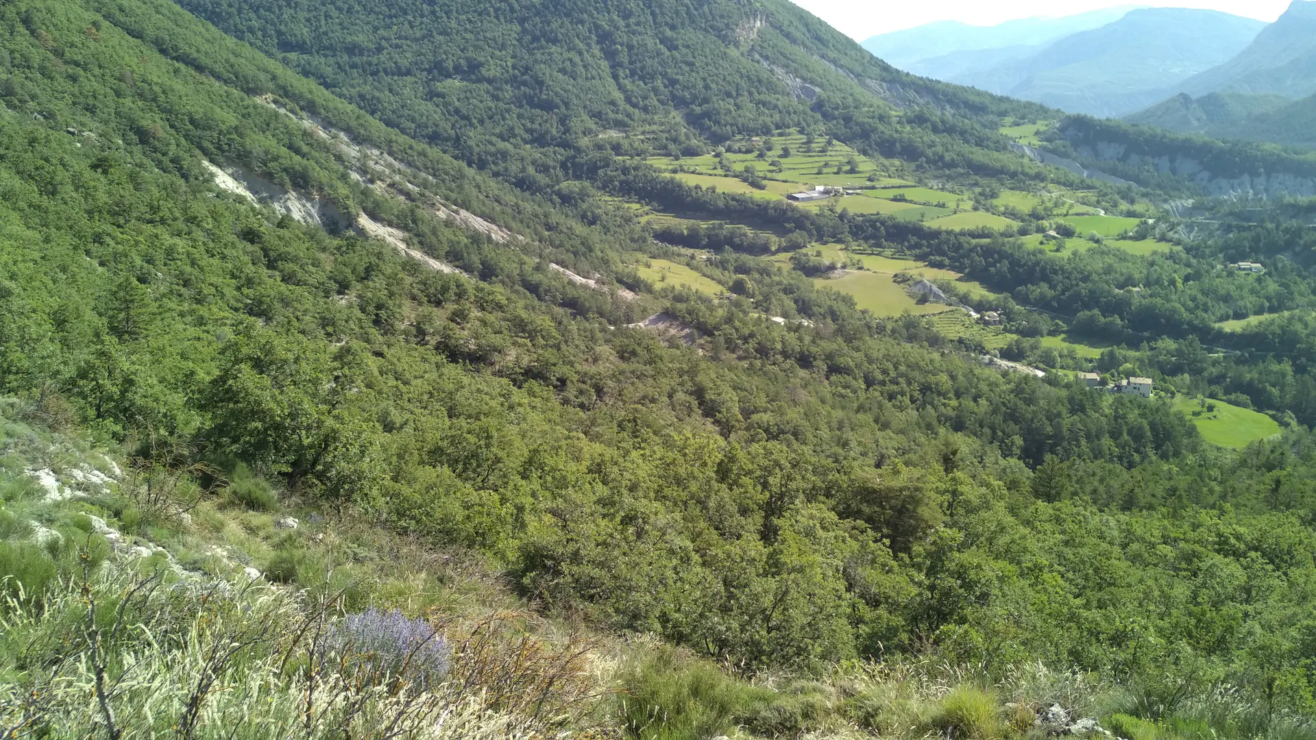
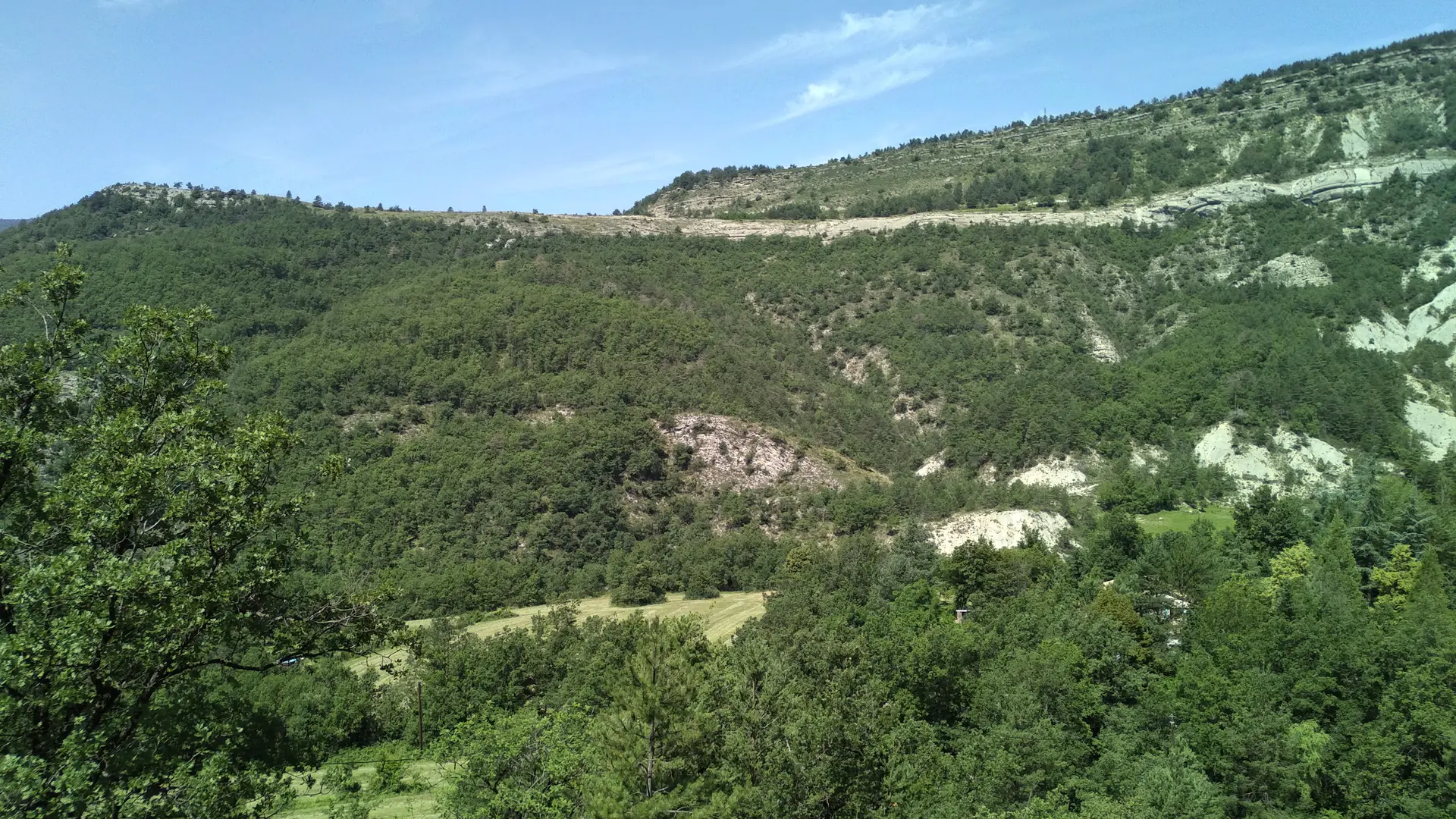
Leave the road and join a steeply sloping path. The path, made of brittle limestone, twists and turns upwards, locally in blue marl, until it reaches an altitude of 900m. It opens out onto a limestone plateau dotted with magnificent bouquets of lavender in summer.
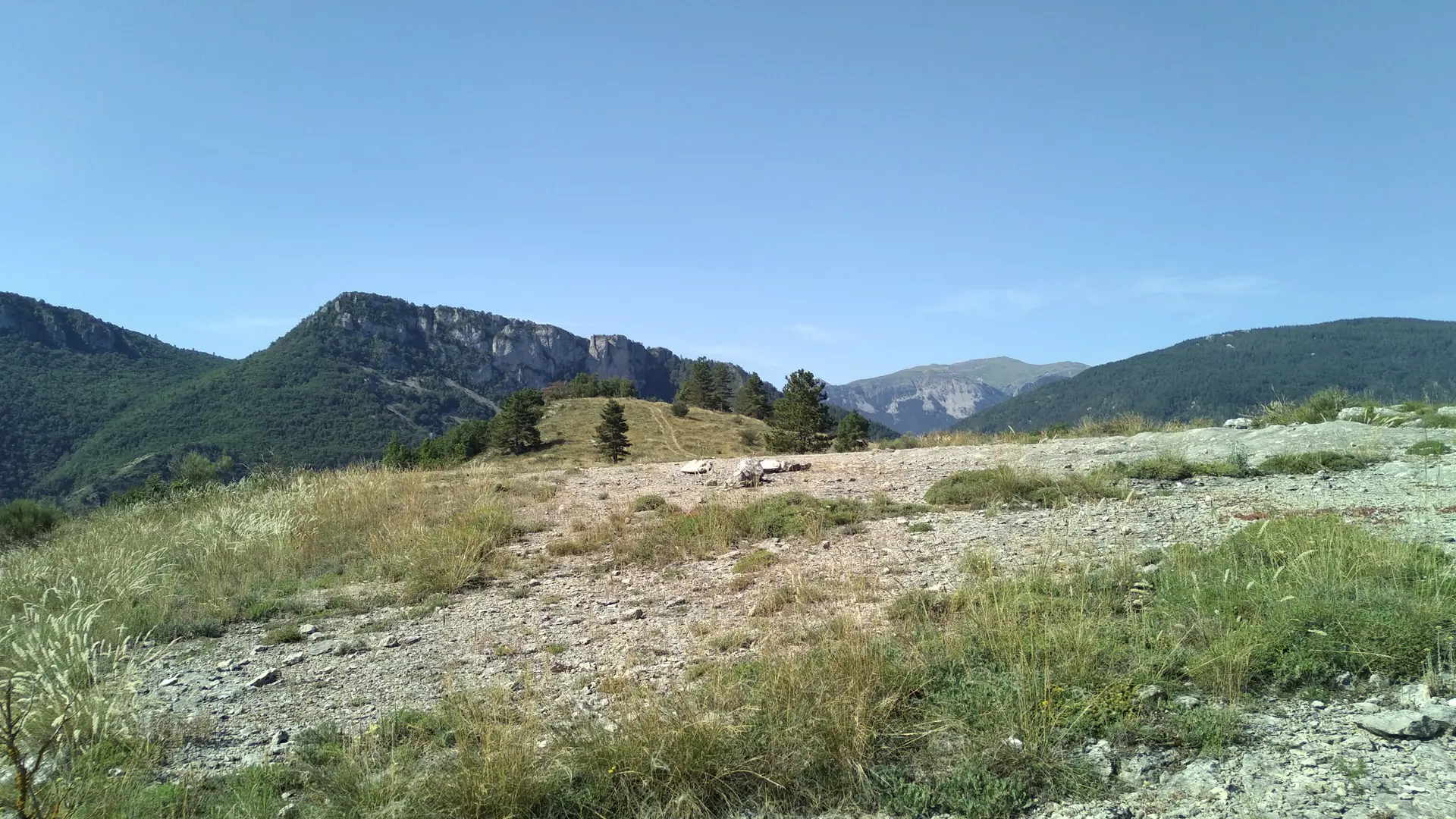
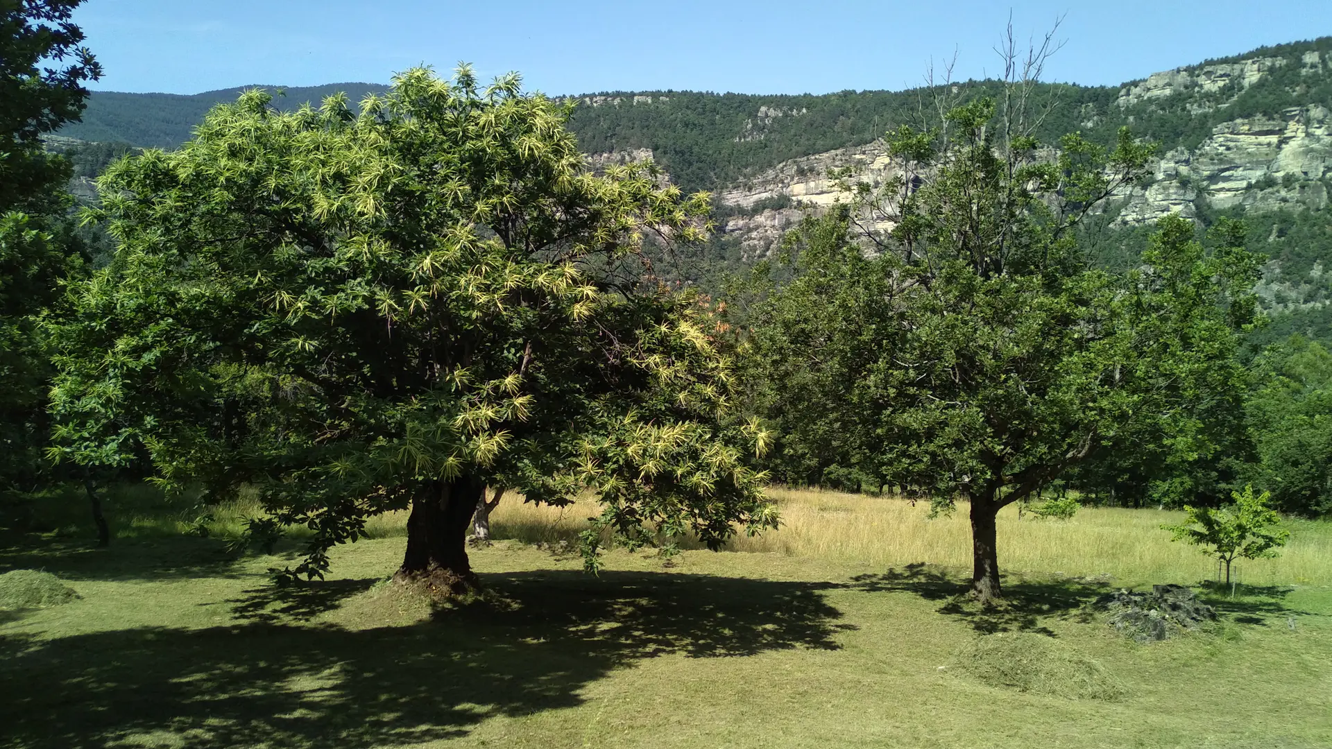
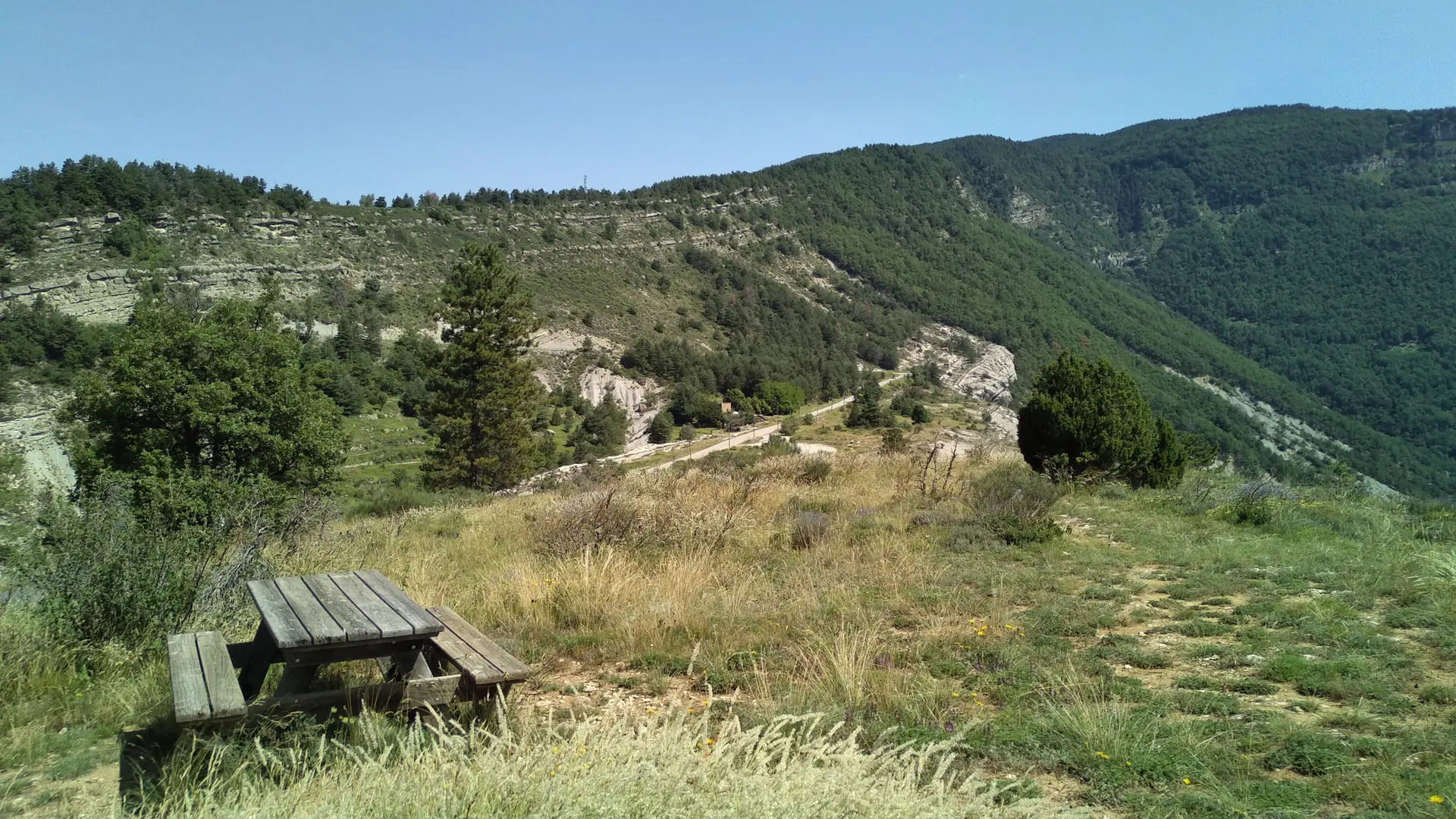
A little higher up, there's a picnic table where you can take a break to enjoy the superb panorama of the St Honnorat ridge, Mont Mounier and Dôme de Barrot. Turn right onto the D110 towards Braux. The road passes the small hamlet of Le Villard, crossing the chestnut grove and its beautiful sandstone houses. Drive to the end of the main street to discover the village.
Return by the same route. Back at the chapel, take the path to the right of the houses, along the ravine, to discover the village.