Barcelonnette, col de Vars, Guillestre, Saint-André d'Embrun, Savines

Barcelonnette, col de Vars, Guillestre, Saint-André d'Embrun, Savines

Sport, Cycling sports, Cycle tourism route in Barcelonnette
127.7 km
  • From the Ubaye to the Durance.

    Set off from Barcelonnette and enjoy a gentle cycle to Saint-Paul. You then reach the most difficult part of the route: the approach to the Col de Vars mountain pass.

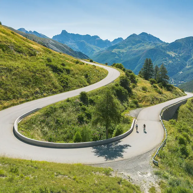
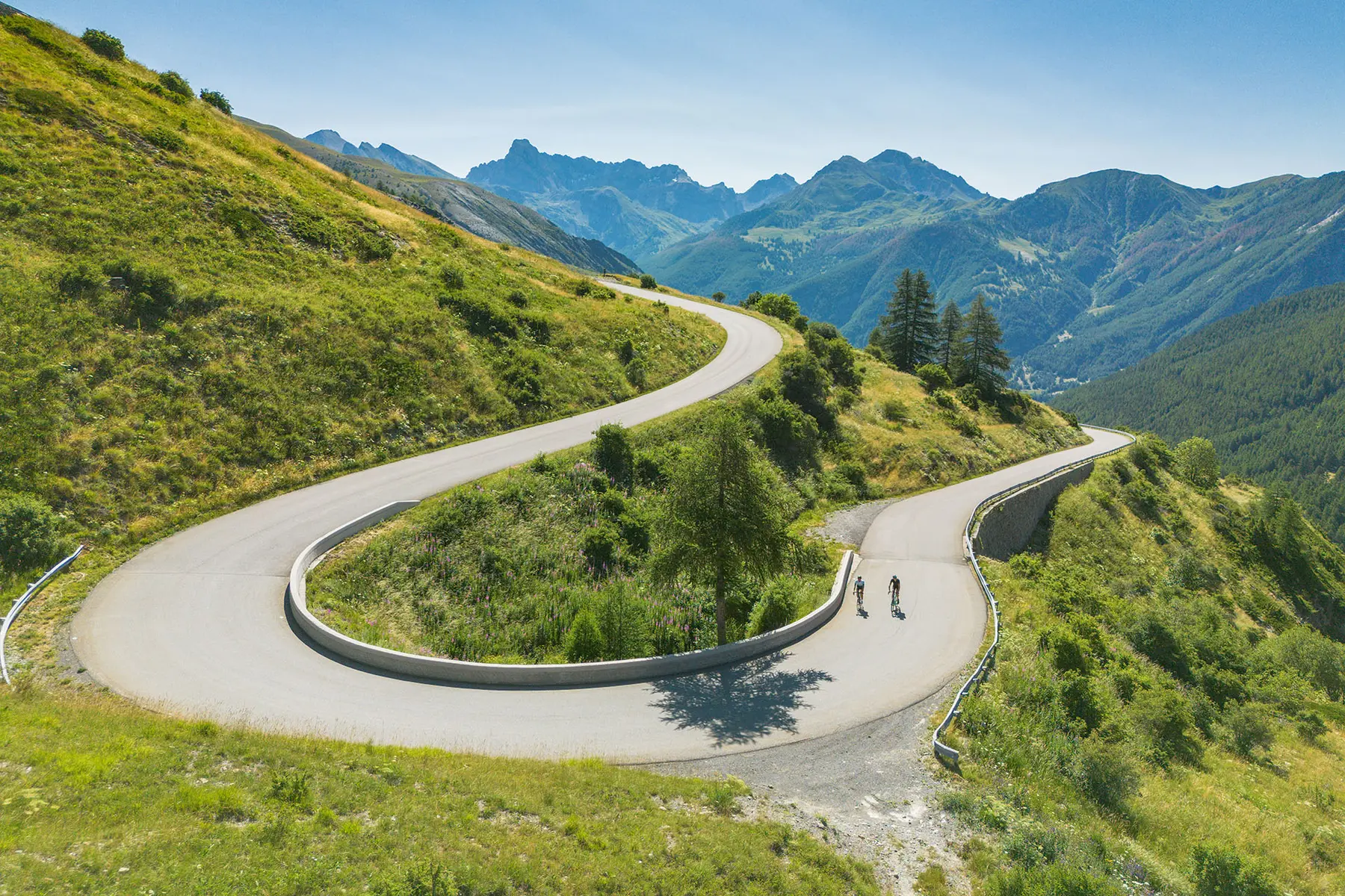
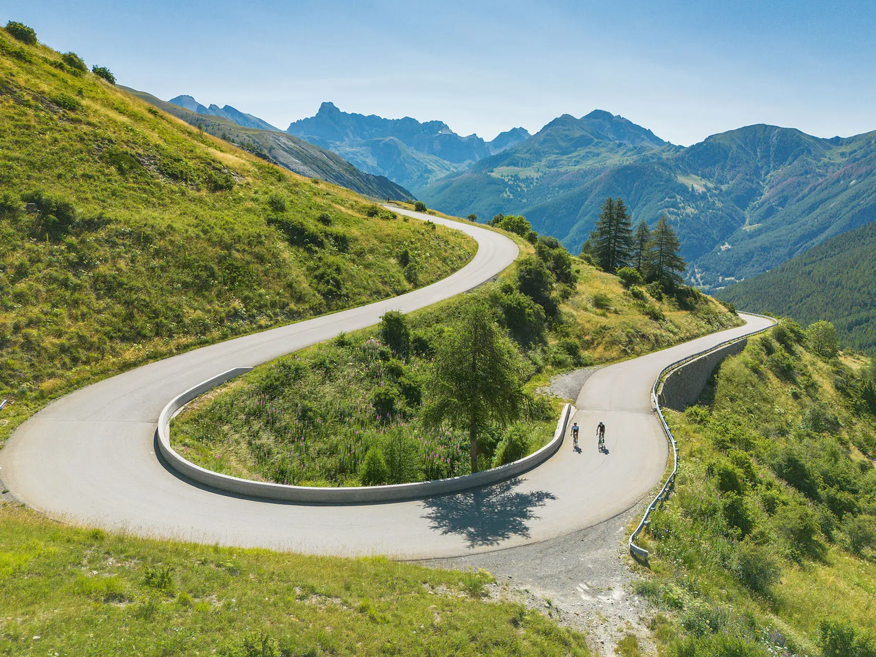
  • The road from Vars to lake Serre-Ponçon offers magnificent panoramic views for those who play with their brakes during the 32 km of this vertiginous descent.

    Passing by Embrun cathedral and the delightfully sixties village of Savines.

    The return journey, via the balconies of Serre-Ponçon, between Savines and Sauze-du-Lac, offers a multitude of viewpoints.

    The ascent of the Ubaye is also remarkable.
  • Departure
    Barcelonnette
  • Difference in height
    2922.09 m
  • Plain text rates
    Free access.
  • Documentation
    GPX / KML files allow you to export the trail of your hike to your GPS (or other navigation tool)
2922 meters of difference in height
  • Maximum altitude : 2076 m
  • Minimum altitude : 782 m
  • Total positive elevation : 2922 m
  • Total negative elevation : -2922 m
  • Max positive elevation : 316 m
  • Min positive elevation : -284 m