Head north towards the Pont des Chèvres, cross the main road and follow a small road, which soon becomes a track, as far as the Pas de Grégoire.
Do not follow the Transubayenne MTB route, and turn right onto the downhill track.
Cross the road again, join the car park opposite and cross the bridge over the Ubaye.
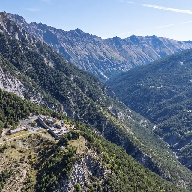
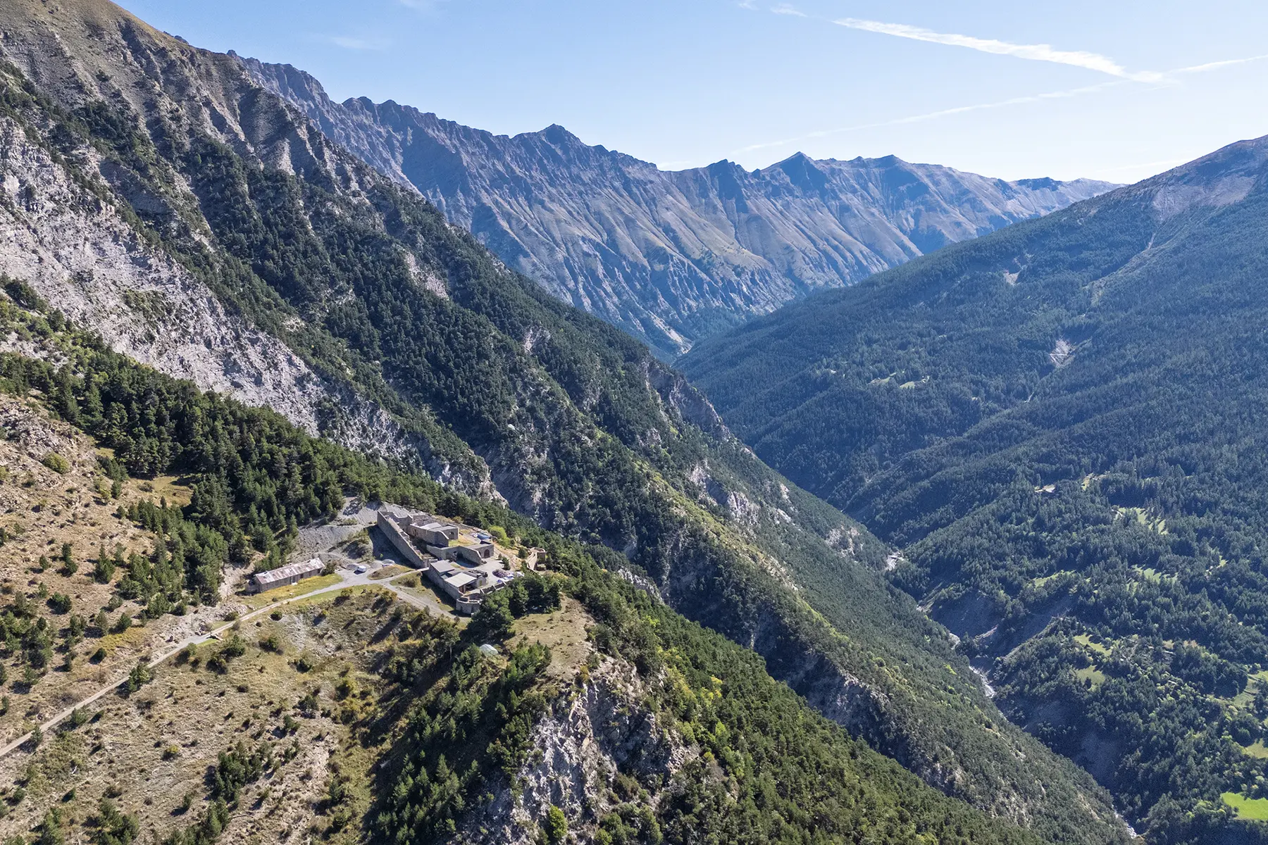
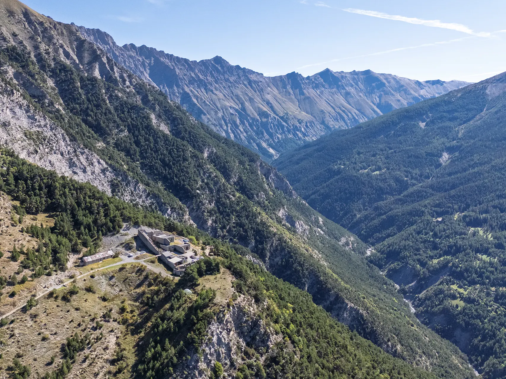
A long climb up a wide track takes you to the Cuguret Battery.
The descent takes you down a succession of small, technical paths that sometimes cut across the uphill track, joining the wide track above the Siguret lake.
Continue downhill to the car park.
Read more