See photos (2)

Cheiron top

Sport, Pedestrian sports, Hiking itinerary in Gréolières
14.6 km
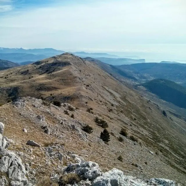
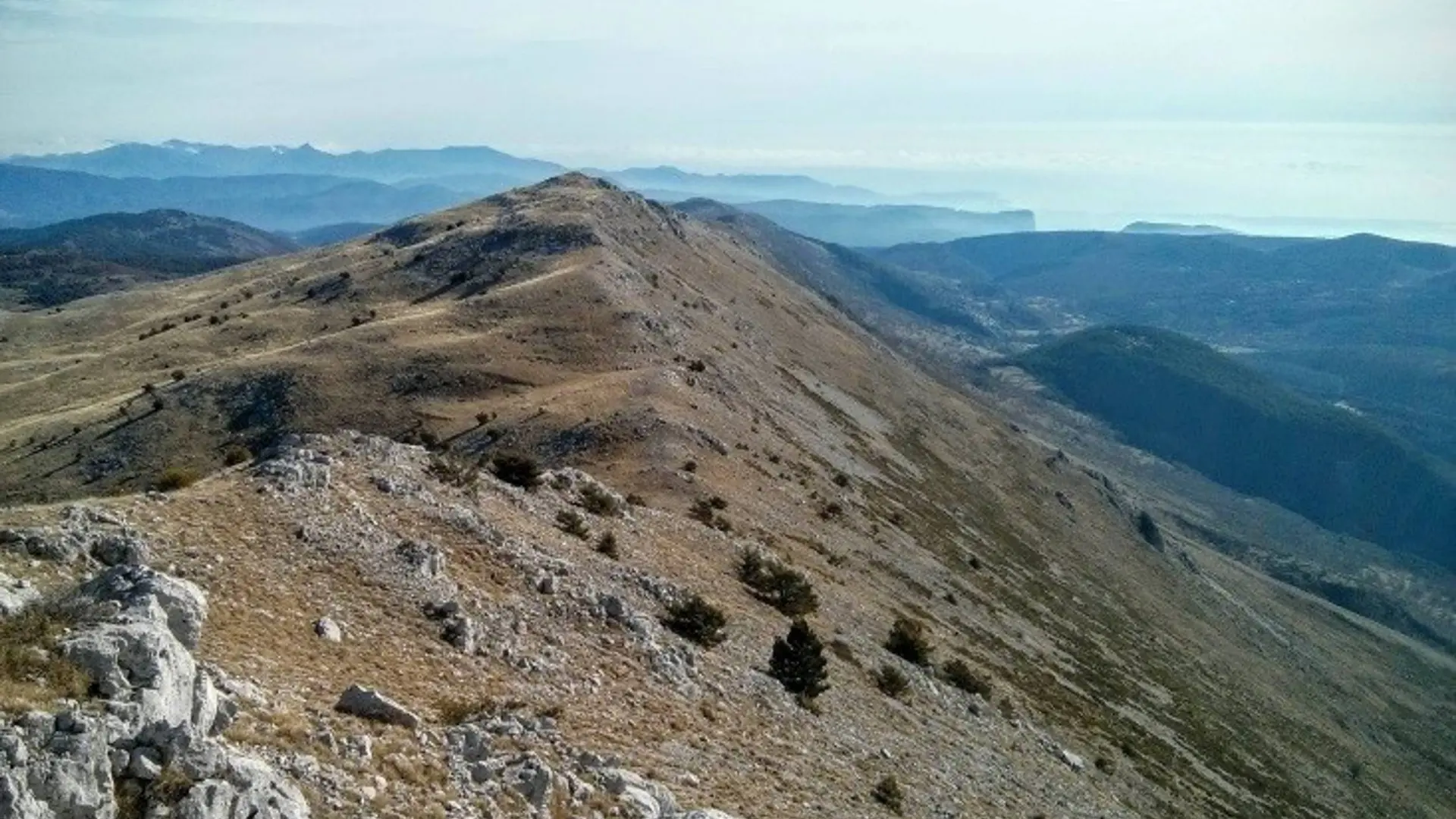
  • 20 km of bird’s flight separate the summit (1,778 m) from the Mediterranean. This exceptional situation offers a sumptuous panorama!
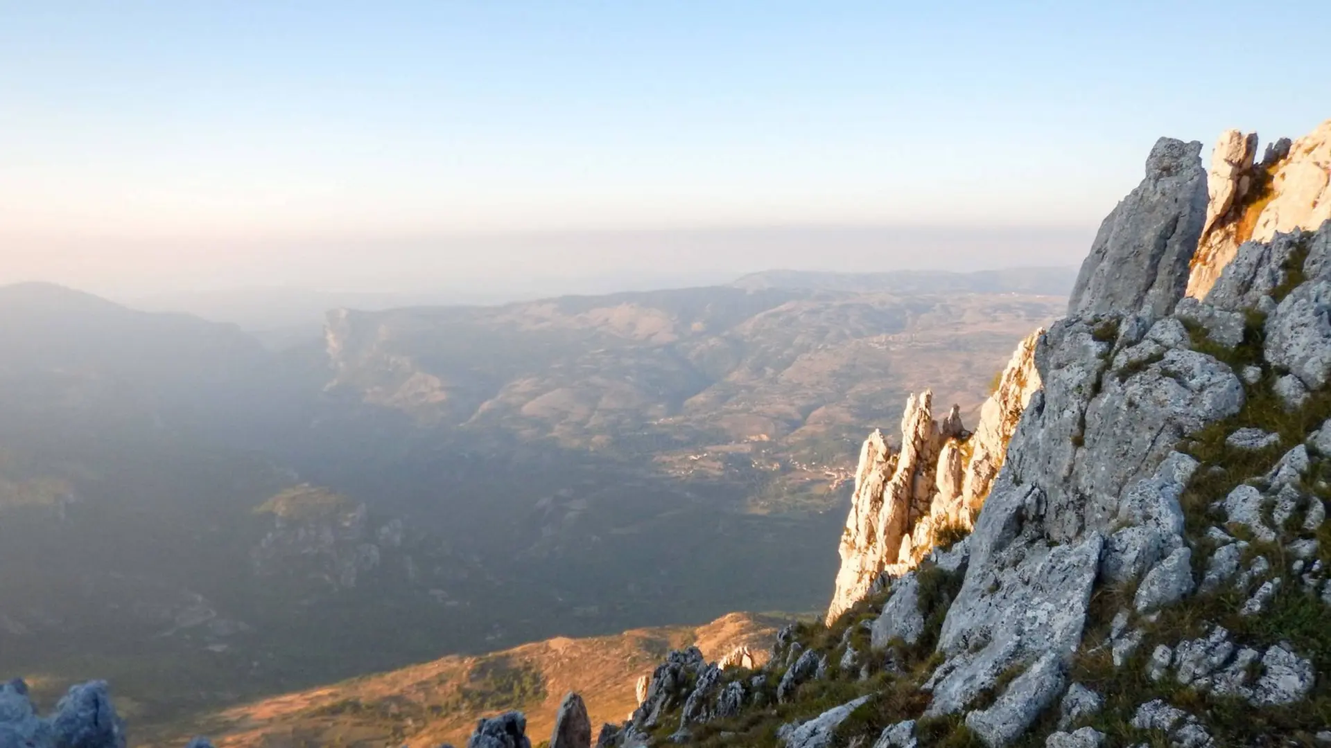
  • From the Faisse car park, take the D2 road to reach the marker 30 marking the start of the trail.
    1- Take the GR®4 to an intersection marked by the marker 193.
    2- Turn left, cross the bars of Cheiron and reach the beacon 194.
    3- Engage full east in this open landscape and follow the crests of Cheiron. When the ski lifts appear, the peak of Cheiron will not be very far.
    4- The return is made by the same itinerary.

    Difficult
  • Departure
    Gréolières
  • Difference in height
    1804 m
  • Departure : Faïsse, car park, Gréolières.
    Arrival : Gréolières.
    Road access : 37 km north of Nice. Go up the Gorges du Loup by the RD6, RD3 and RD2..
    Parking recommended : Parking de la Faïsse .
  • Documentation
    GPX / KML files allow you to export the trail of your hike to your GPS (or other navigation tool)
1804 meters of difference in height
  • Maximum altitude : 1752 m
  • Minimum altitude : 832 m
  • Total positive elevation : 1804 m
  • Total negative elevation : -923 m
  • Max positive elevation : 710 m
  • Min positive elevation : -915 m