Tips
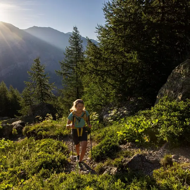
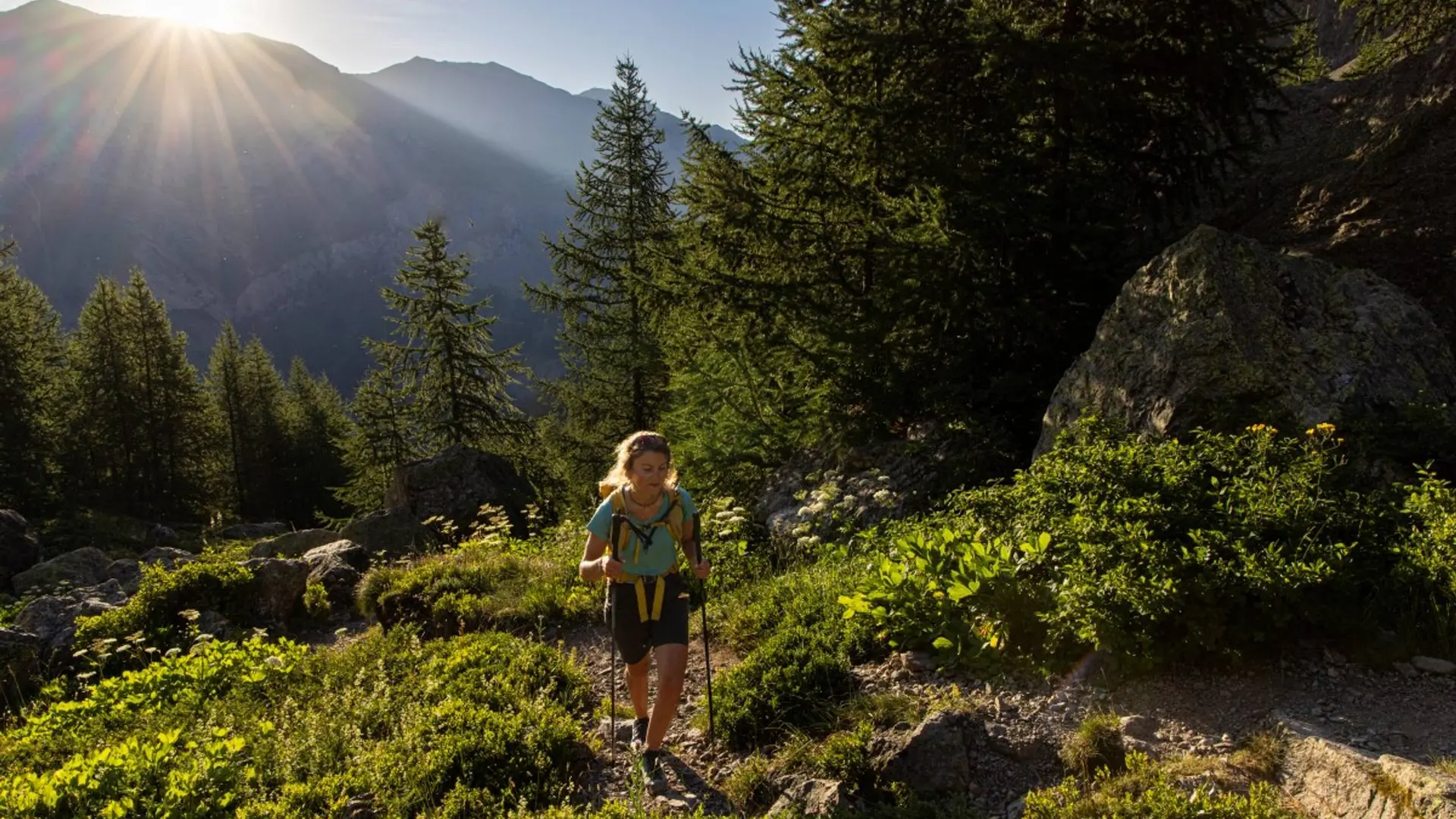
No water on this path, take 2 litres per person. The itinerary is indicated on the signposts marked « porte du Parc national » which can be found near the carpark.
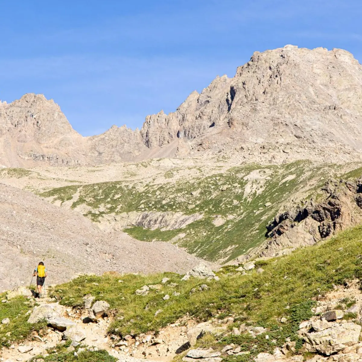
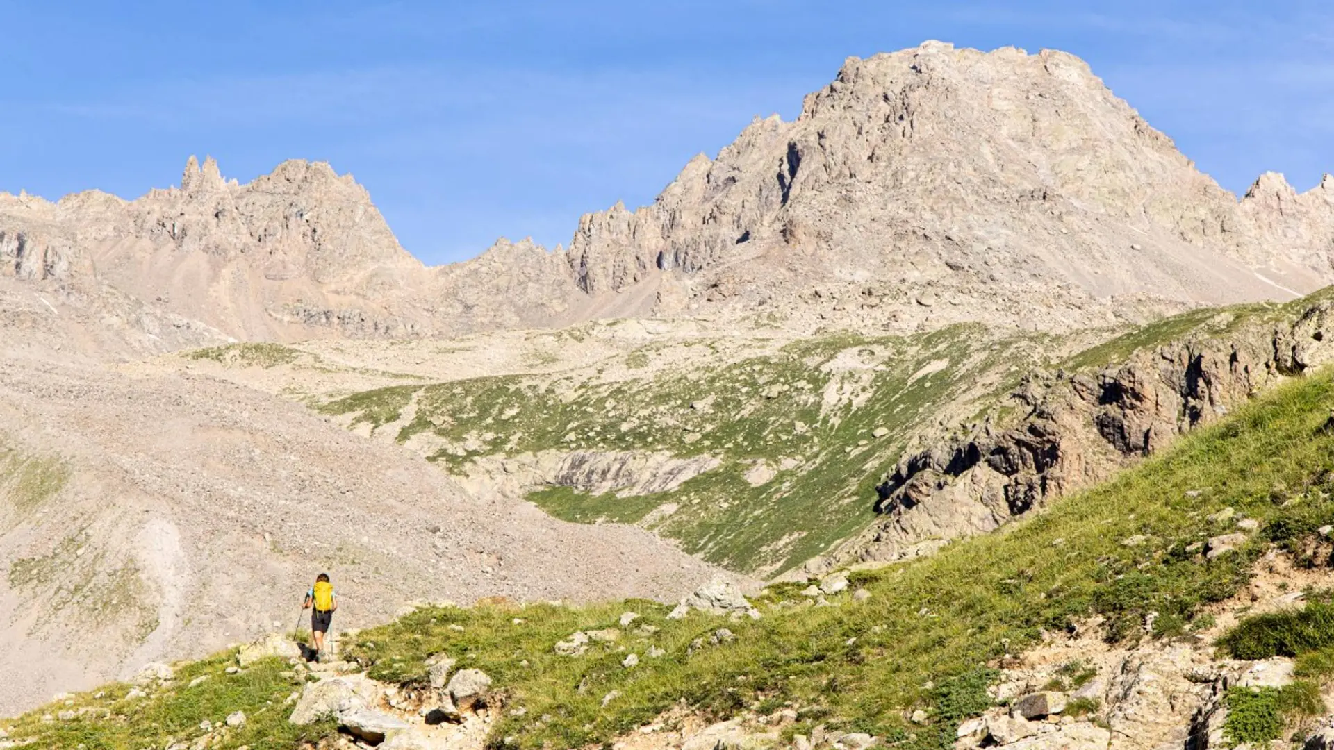
Is in the midst of the park : The national park is an unrestricted natural area but subjected to regulations which must be known by all visitors.
Herd protection dogs : In mountain pastures, protection dogs are there to protect the herds from predators (wolves, etc.).When I hike I adapt my behavior by going around the herd and pausing for the dog to identify me.Find out more about the actions to adopt with the article "Protection dogs: a context and actions to adopt".Tell us about your meeting by answering this survey.