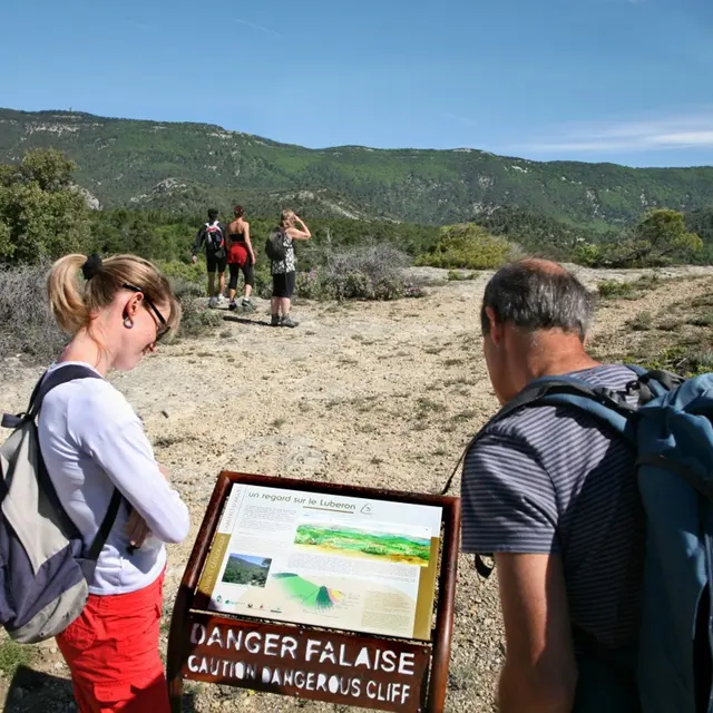
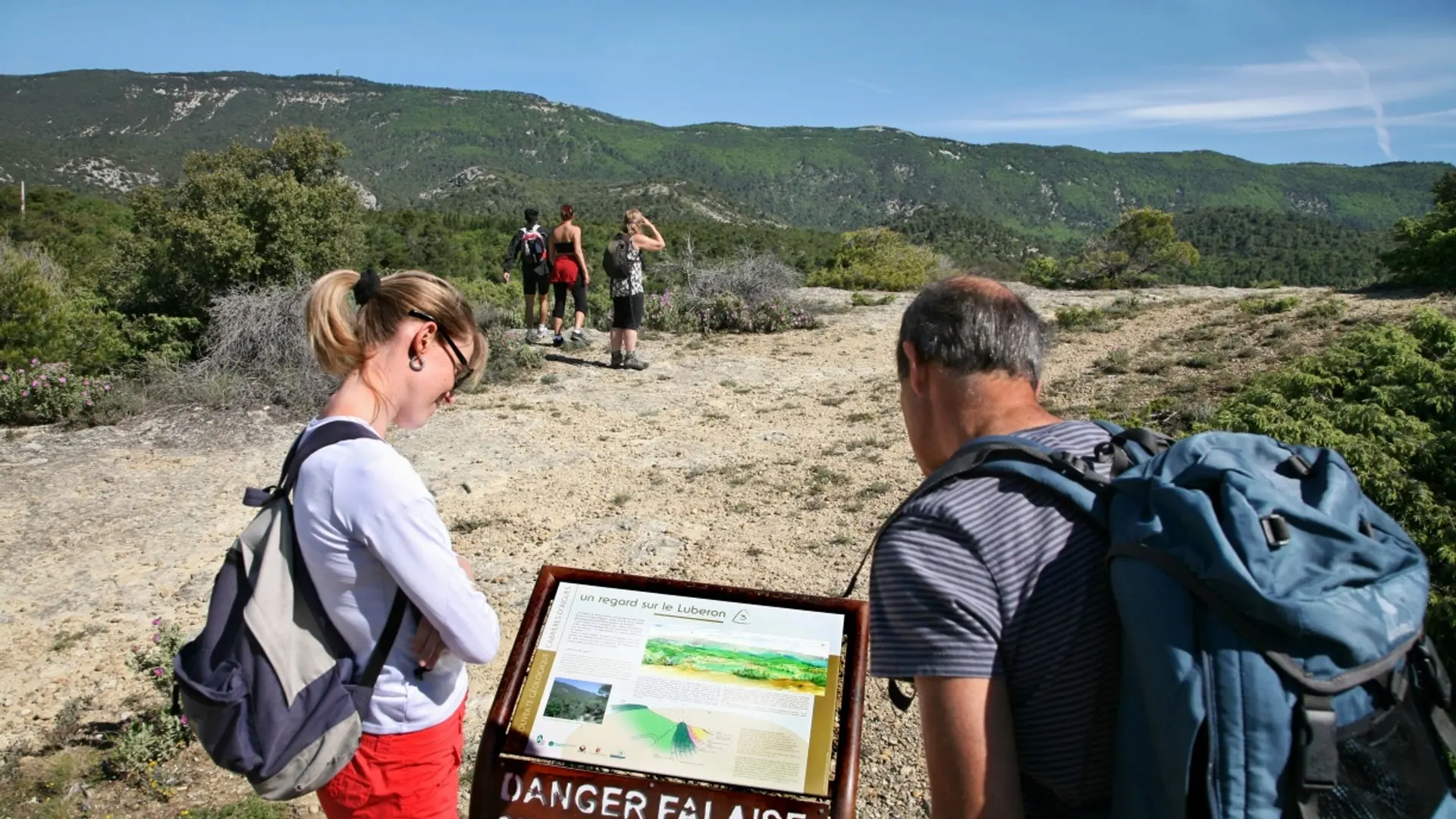
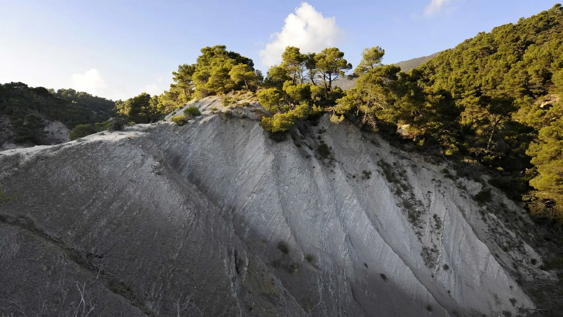
This stroll on the slopes of southern side if the Grand Luberon is intended for the curious hiker for whom geology remains a mystery...
« Cabrières d'Aigues is a favourable location to discover geology. We have designeda geological trail to answer a few simple questions: What type of rock is this? When and how was it formed? What is the origin of landscapes? Here, the hiker travels through millions of years, from the ocean from the Mesozoic era, responsible for the limestone of the Grand Luberon, to the use of these same limestone by man in the 19th century. ». Stéphane Legal, geologist of the Luberon RNP.
Medium
Read more
Tips
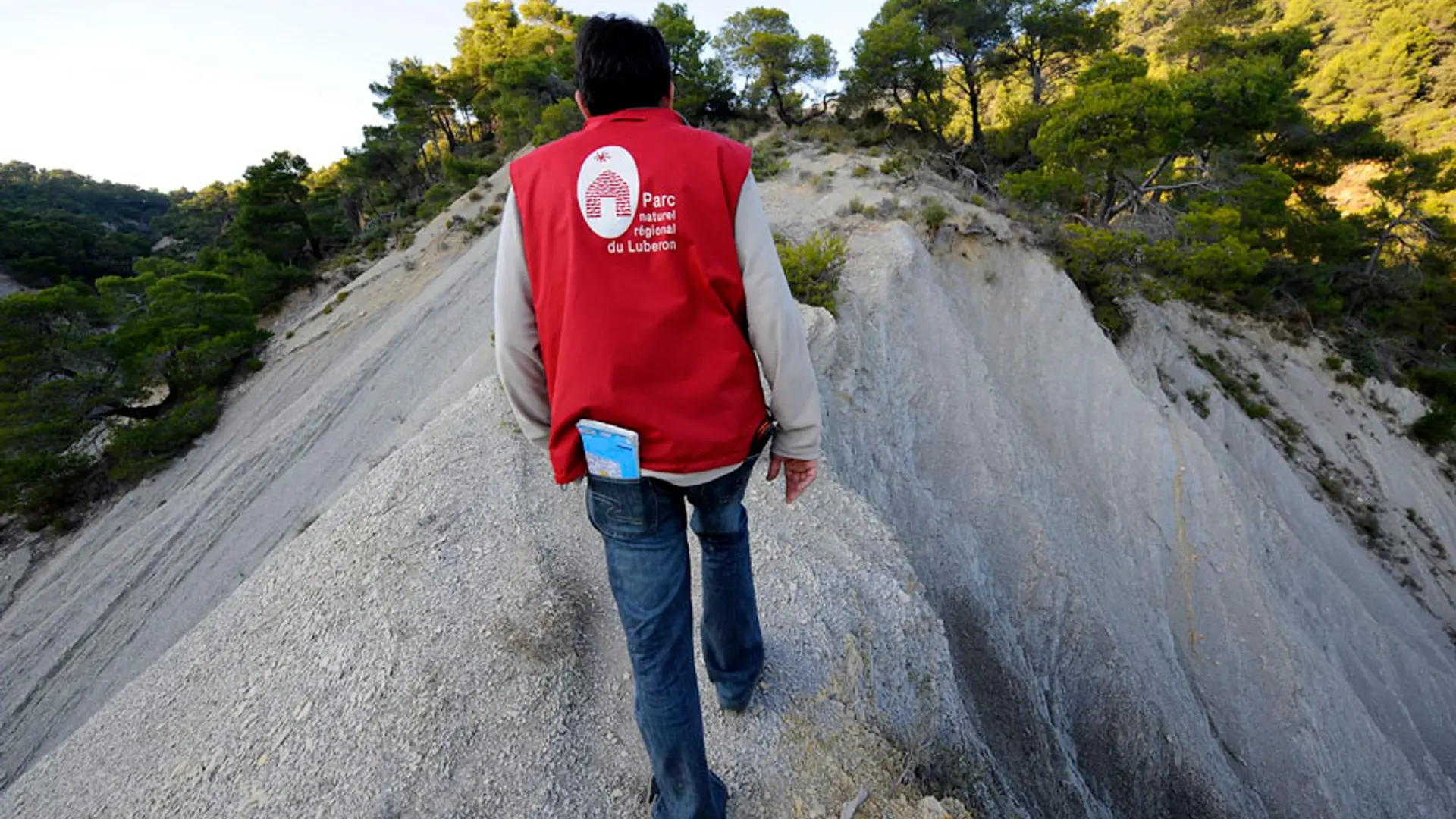
After point 2, caution with your ankles in the descent.
Follow carefully the specific markings of the geological trail, made up of arrows on wrought iron stands.