See photos (2)

Mountain of the Audibergue

Sport, Pedestrian sports, Hiking itinerary in Caille
10.8 km
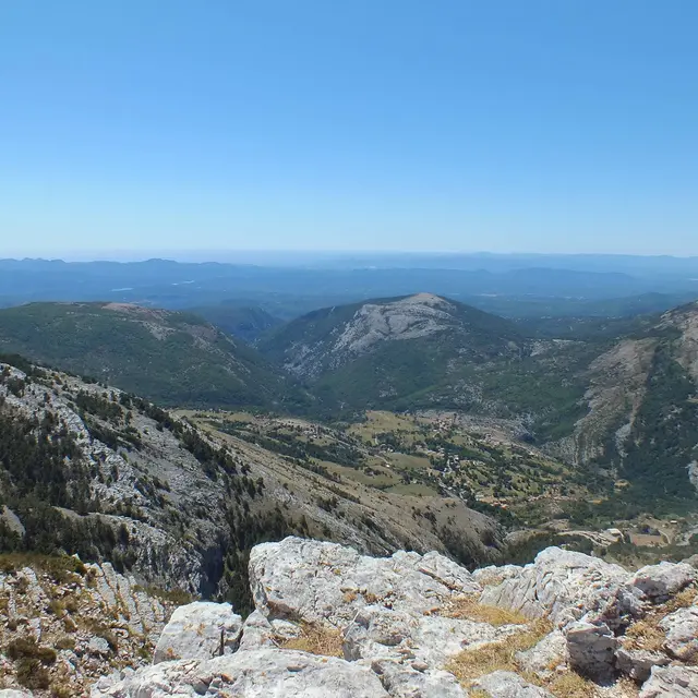
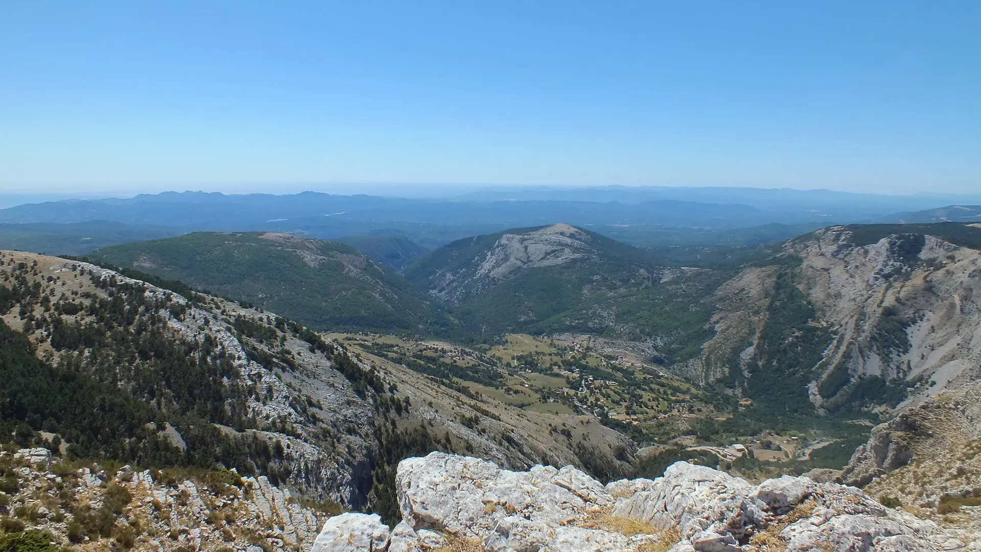
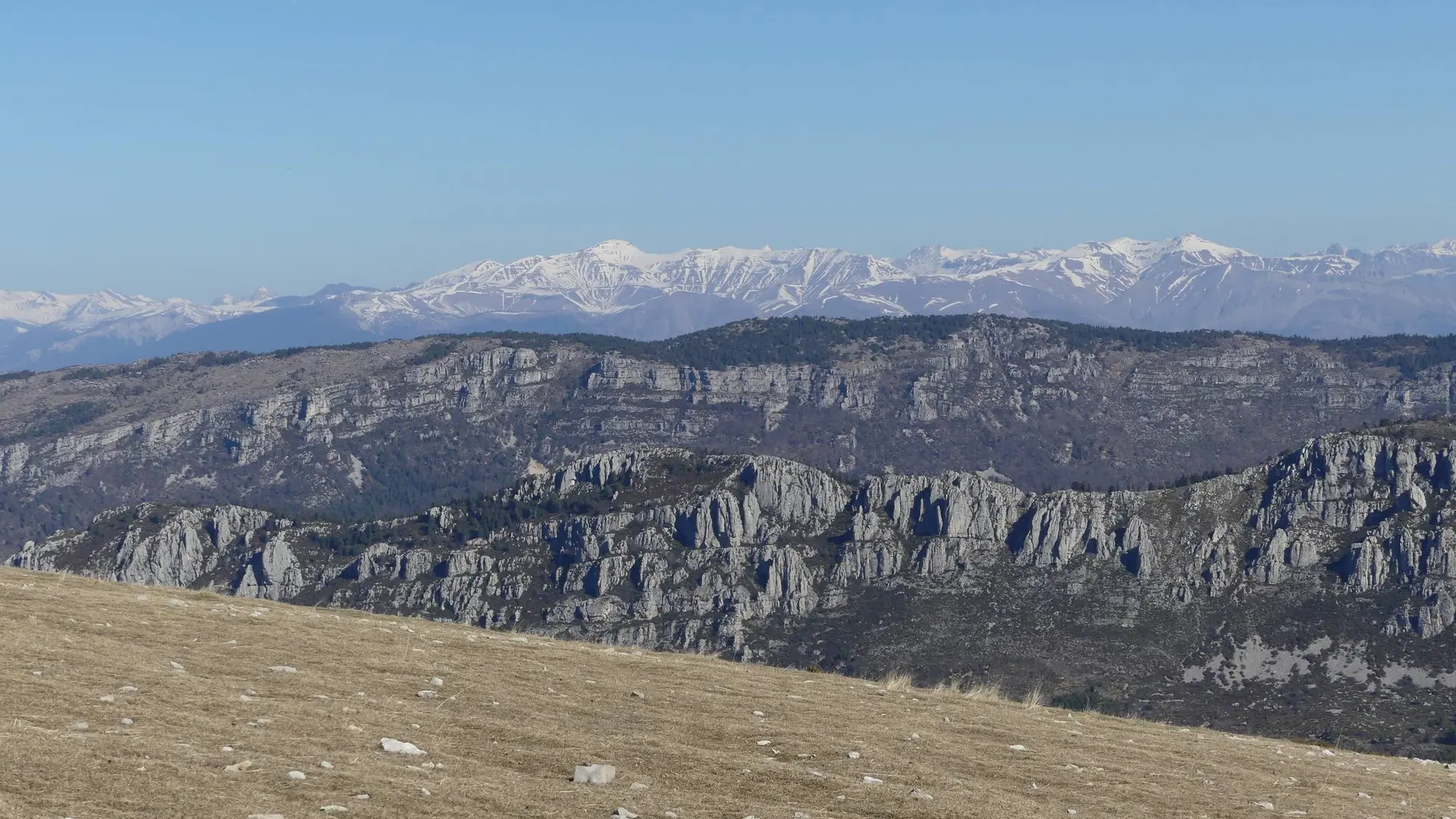
  • Southern Bastion of the Pre-Alps, the Montagne de l'Audibergue presents itself as an interminable east-west rampart.

  • From the Parc de la Moulière climb up to the end of the chairlift by the green slope of the Marcassin.
    1- Bypass a slope on the right and join the orientation table on the nearby ridge.
    2- Cross the ridge on the trail (PR marking), to the top of the Audibergue (1,642m)
    3- Go north, under the ski lifts to find the beacon 173.
    4- Take the trail (PR marking) towards Parc de la Moulière and easily reach the parking lot via the 174 beacon.

    Easy
  • Departure
    Caille
  • Difference in height
    706.333 m
  • Departure : Park of the Moulière, Caille.
    Arrival : Park of the Moulière.
    Road access : 47km north of Grasse, by the RD6085, RD79, RD81 (direction of Caille), and RD281..
    Parking recommended : Park of the Moulière .
  • Documentation
    GPX / KML files allow you to export the trail of your hike to your GPS (or other navigation tool)
706 meters of difference in height
  • Maximum altitude : 1638 m
  • Minimum altitude : 1349 m
  • Total positive elevation : 706 m
  • Total negative elevation : -617 m
  • Max positive elevation : 288 m
  • Min positive elevation : -207 m