Tips
Before setting off on your trail, it is essential to check the opening times of the route on the website: https://www.onpiste.com/explorer/routes/snow-trail-du-plan-freissinieres-6659
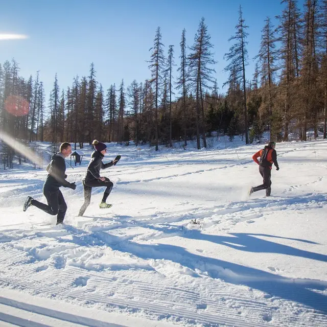
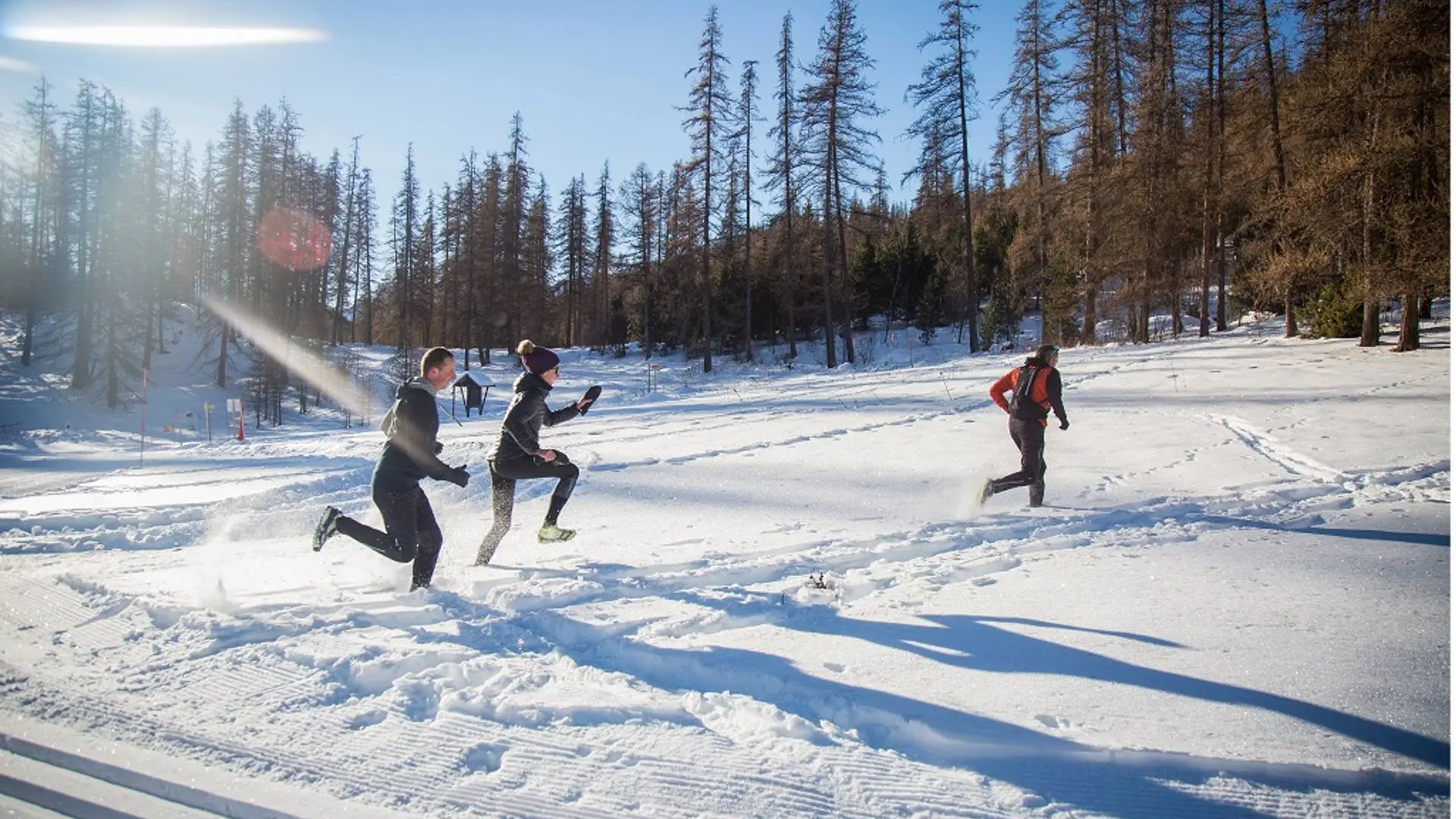
On some sections of this route, you will be using a cross-country ski trail. Dog sleds may also frequently pass by: keep in line on the right-hand side of the route. Pet dogs are also not recommended.
Check the weather conditions before setting off.
Emergency contact details: Secours Montagne: 04 92 22 22 22 or 112
Respect the work of farmers and owners
Close all fences
Bring back all your rubbish
Do not cut the route through meadows
The Snowtrail routes are also suitable for snowshoe trekking.