Sommet de Destourbes

  • Sport
  • Pedestrian sports
  • Hiking itinerary
Elevation : 723m
Parking La boudousque, 04120 Castellane
Gradual ascent through forest with panoramic views over Lac de Chaudanne to the summit of Destourbes.
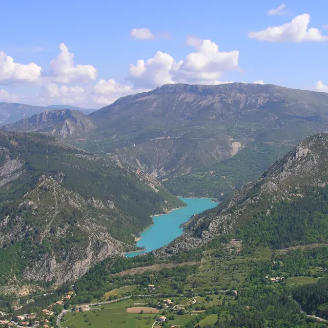
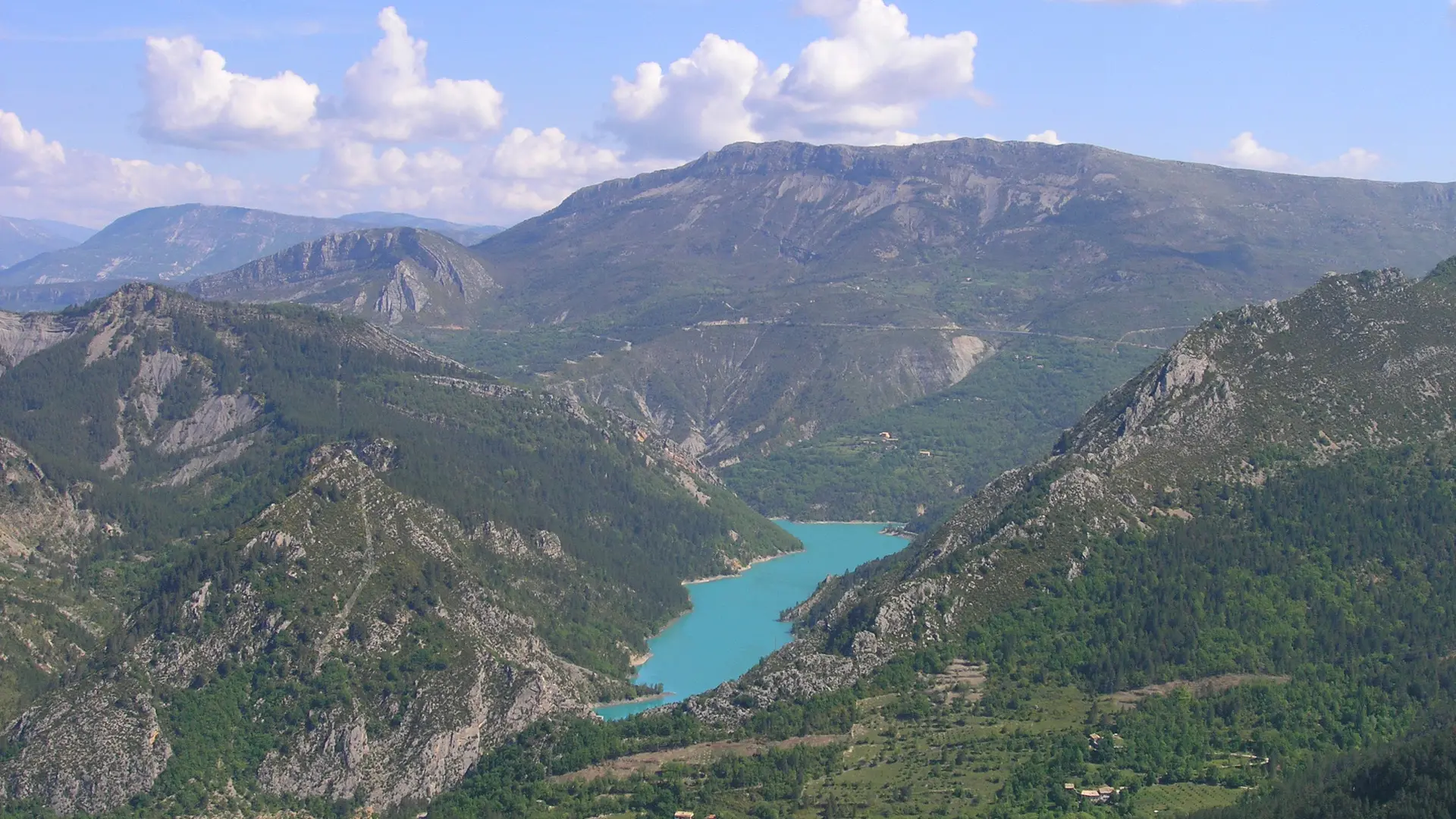
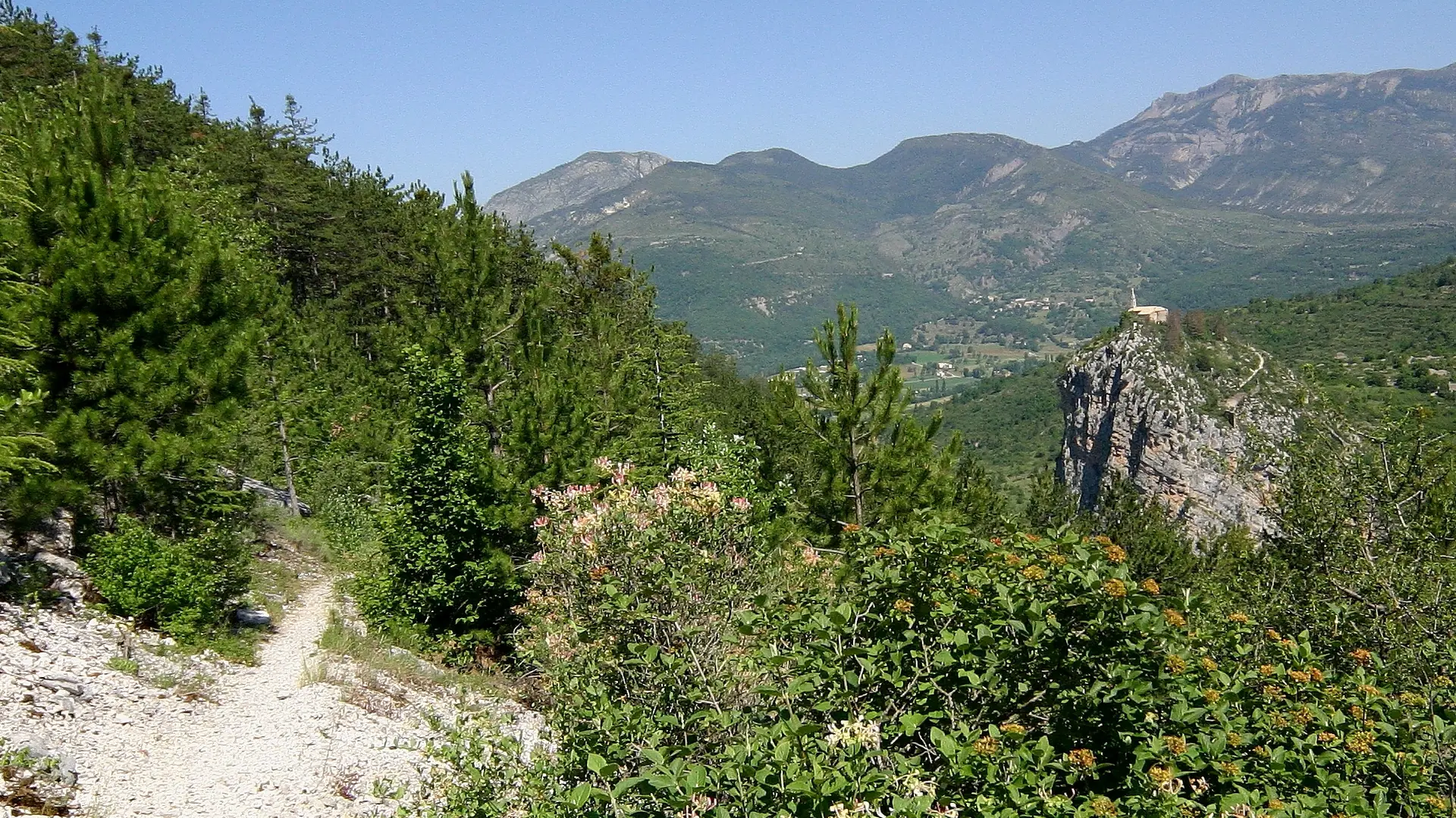
From the center of Castellane, take the old Roc bridge. At the end of the bridge, turn left and follow the Route de Grasse for 50 metres. Cross the road, and follow the path up into the forest, mostly under cover. The route is clearly marked. Once you reach a turning point at the end of the track, follow the path above. Continue upwards through a series of switchbacks to reach the ridge. Following the ridge, you'll come to a large cairn, the summit of Destourbes.
Return by the same route as the first.
Plain text period
All year round.

Documentation

Documentation

Accepted customers

Accepted customers

  • Level red – hard
Updated on 25 September 2024 at 16:56
by Castellane Tourisme
(Offer identifier : 691887)
Report mistake
Close
Filter search
Page types
  • All
  • Articles
  • Agenda
  • Lists
Aucun résultat