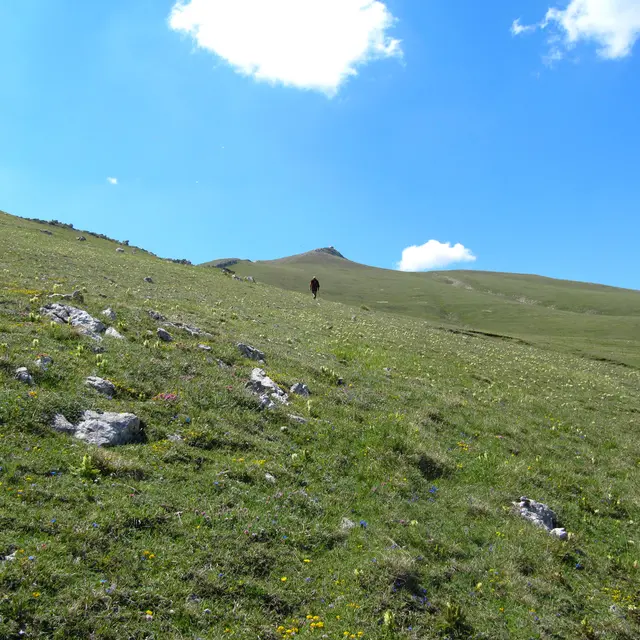
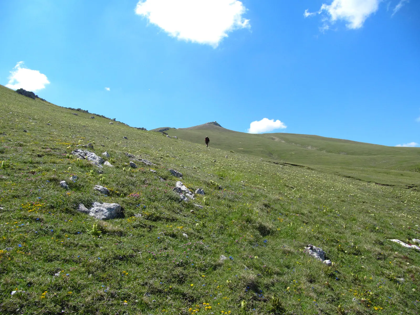
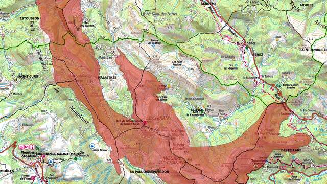
From the Bas Chaudoul parking lot, descend 200 m to the small concrete bridge, cross it and take the path on the right which skirts the house. After a short succession of hairpins, continue on a fairly steep, winding path. You can see the "La Clue" waterfalls, which you will skirt to the right. After this rocky landscape, crest the marl to reach a pasture area. Follow the path across to the pass (Portail de Blieux 1620 m), then climb to the summit of Le Chiran (300 m ascent over 2.9 km).
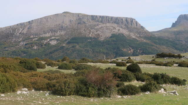
360° panorama: Mont Pelat and l'Estrop to the north, Mourre de Chanier and Grand Mourre to the south, Lac de Sainte-Croix to the south-west.
If you've got a pair of binoculars in your bag, you'll be able to see Mont Ventoux and the Lubéron plateau.
Return by the same route.
Read more