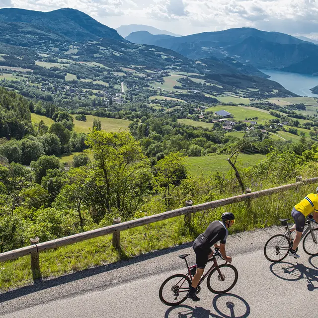
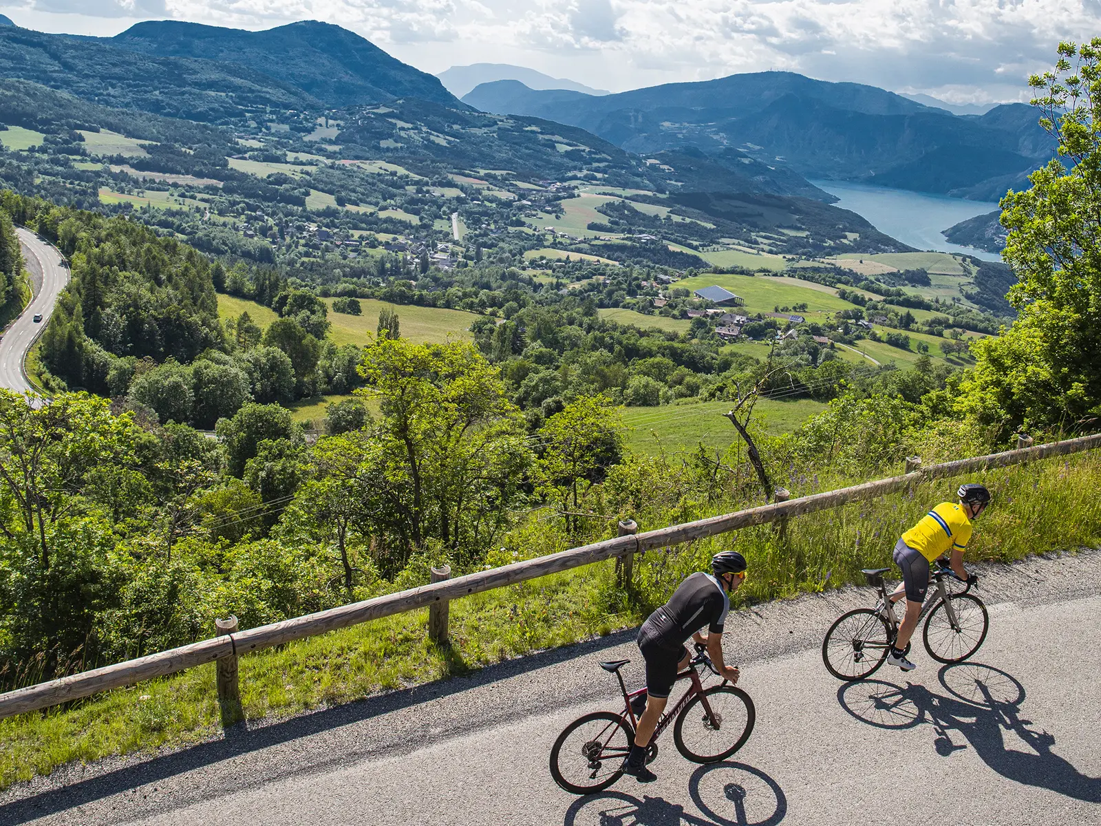
- Voir les favoris
The tour of the Lake Serre-Ponçon
Sport, Cycling sports, Cycle tourism route
in Barcelonnette
117.6
km
-
A view of the lake.
A great route for climbers, alternating between mountain passes and small vertiginous roads around Serre-Ponçon Lake. A unique view of one of the most beautiful tourist sites in the Southern Alps. -
The lake, which mirrors the surrounding mountains, offers exceptional scenery along this steeply graded route. You'll be up close to an exceptional structure: the largest man-made dam in Europe when it was built.
Difficulties to expect: the Col Lebraut, the ascent to the Col Saint-Jean, the ascent to the Demoiselles coiffées.
- Departure
- Barcelonnette
-
-
Difference in height
- 2717.89 m
-
-
-
Plain text rates
- Free of charge.
-
-
-
Documentation
- GPX / KML files allow you to export the trail of your hike to your GPS (or other navigation tool)
-
- See all reviews
- 2718 meters of difference in height
-
- Maximum altitude : 1188 m
- Minimum altitude : 656 m
- Total positive elevation : 2718 m
- Total negative elevation : -2718 m
- Max positive elevation : 154 m
- Min positive elevation : -219 m
