GarlabanGarlaban
©Garlaban|Le Pelley S.

Garlaban Hills

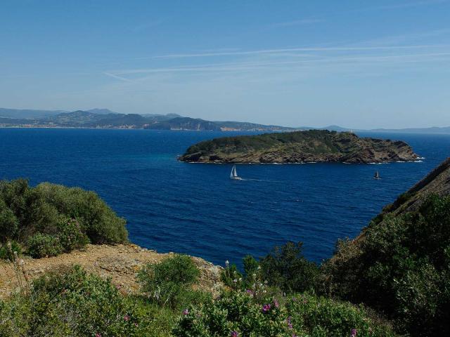
The Garlaban hills gained international fame thanks to Marcel Pagnol’s books. This chain of small limestone mountains also offers a fantastic playground for nature lovers.

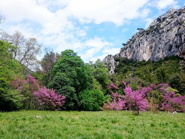
Hills and valleys covered in garrigue (mediterranean scrubland)

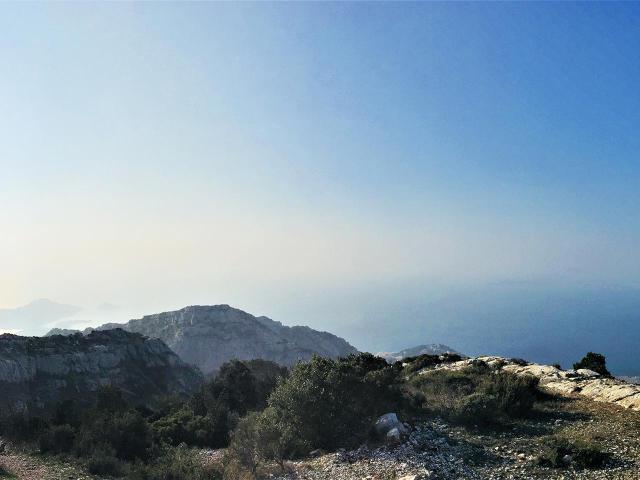
Made up of limestone rock, the massif reaches an altitude of 731 metres at the Butte des Pinsots. However, these hills owe their name to another peak, the Garlaban. Other peaks also attract attention, and bear evocative names. Tête Ronde owes its name to its rounded shape, while Grande Tête Rouge refers to the colour of its bauxite-rich soil. The Taoumé peak is famous for the cave that runs right through it.

The Garlaban hills were once home to large areas of woodland and pine forests. Today, the garrigue (scrubland) reigns over the hills, made up of low-growing, mainly fragrant plants: a walk in the Garlaban massif will give you the chance to smell the scents of cades, rosemary, thyme and kermes oak.

The Garlaban, a meeting with Marcel Pagnol

“In the city of Aubagne, at the foothills of Garlaban, crowned with goats, at the time of the last goatherds”

My Father’s Glory, an autobiographical novel written by Marcel Pagnol, mentions the Garlaban from the very first sentence.  This small peak culminating at an altitude of 715 metres is not a mountain, but neither is it a hill. It was a playground and adventure playground during his best childhood holidays. Marcel Pagnol’s love for the Garlaban hills lasted all his life. The Garlaban massif was a source of inspiration for some of his books, such as Jean de Florette and Manon des Sources, and was used as a backdrop for films such as Regain and Angèle. The academician now rests in the small cemetery of La Treille, close to the hills he loved.

From La Treille, where the holiday home Bastide Neuve is located, to Taoumé, crossed by the Grosibou cave, to the summit of Garlaban, there are many paths leading you in the footsteps of Marcel Pagnol.

The hills, a playground for nature lovers

The Garlaban hills also appeal to hiking enthusiasts. The many signposted footpaths cater for hikers of all abilities, with routes ranging from a few hours to a full day.

The massif is also renowned for its many climbing routes, whose high-quality limestone rock offers unique sensations. Beginners and experienced climbers alike can enjoy a multitude of climbs in the midst of beautiful mineral landscapes.

The paths and tracks are also ideal for mountain biking, with many routes offered by tourist offices and specialist applications. It’s easy to find a route to suit your level and your tastes.

La Font de Mai, at the gateway to the Garlaban massif

With a surface area of one hundred hectares, Font de Mai welcomes you to a green setting less than 4 kilometres as the crow flies from the historic centre of Aubagne. An old Provençal country house houses a refreshment bar and snack bar. An interpretation trail explores the agricultural past of the Garlaban massif. You can discover the secrets of silkworm rearing, and take a walk among the olive trees. You can also admire a breathtaking view of the massif from the belvedere. If you’re a keen hiker, you can follow the paths, some of which lead as far as the Croix du Garlaban.

You can also hire donkeys at Domaine de Font de Mai, for a family outing in the company of these remarkable animals.

Practical information

You can reach the summit of Garlaban from the old village of La Treille, which is accessible by car and served by public transport:

Allauch is also an ideal base for exploring the hiking trails of the Garlaban hills. You can visit the village and climb the path leading up to the Chapelle Notre Dame du Château.

In Aubagne, the Domaine de la Font de Mai offers a range of activities. From the park, you can go hiking or mountain biking in the hills.

To the east, the Provençal villages of Lascours and Roquevaire can also give you access to the Garlaban hills.

Access to the Garlaban massif may be restricted depending on weather conditions. In very hot weather or during windy spells, paths may be partially or totally closed. Please consult the access map for the Bouches du Rhône massifs before heading for the Garlaban hills: http://bpatp.paca-ate.fr/

Close