Mont Viso Ph. Van Der HoevenMont Viso Ph. Van Der Hoeven
©Mont Viso Ph. Van Der Hoeven|Ph. VAN DER HOEVEN /adobestock.com

Mount Viso

Discover Mont Viso, a mecca for hiking and mountaineering in the Southern Alps, just a few miles from Queyras.

Mont Viso, a mountain between France and Italy

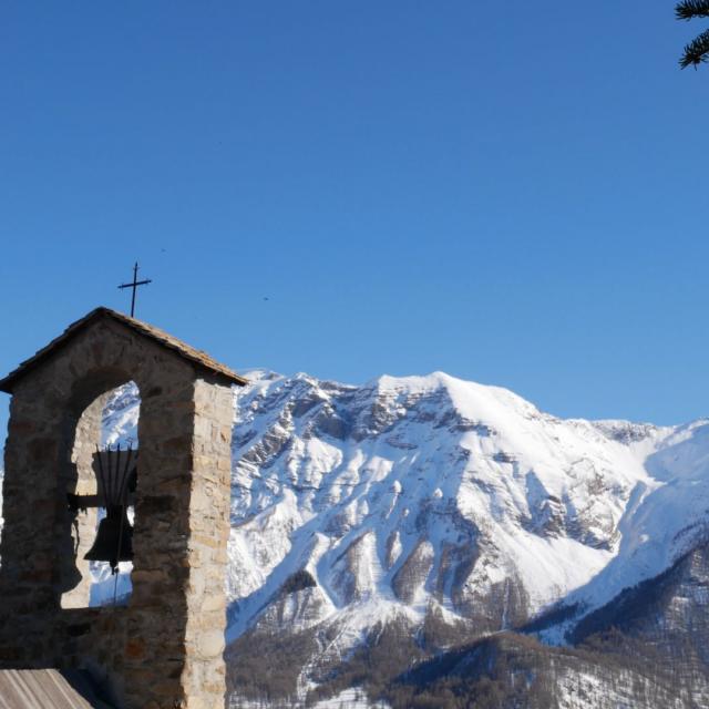
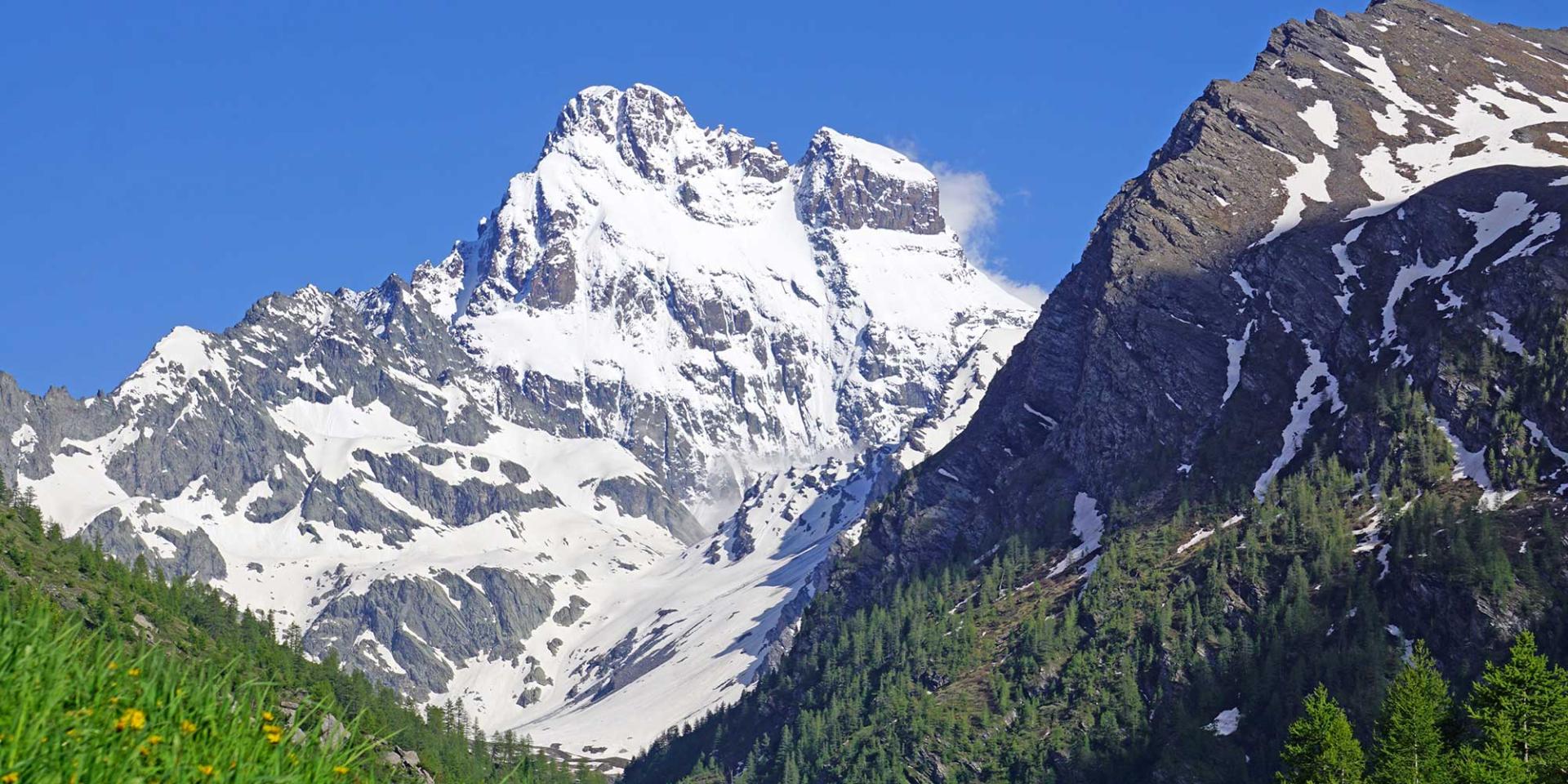
Situated in Italy, Mont Viso is close to France and dominates the surrounding valleys at an altitude of 3,841 meters. Its summit rises less than two miles as the crow flies from the border between Piedmont in Italy and the Hautes-Alpes département. Its massive silhouette can be seen from many of the Queyras valleys. Hikers, cyclists, mountaineers, skiers, paragliders and walkers can all admire Mont Viso during their activities.

The Guil rises in Ristolas, on the north-western slopes of Mont Viso, and shapes the Queyras Alpine landscape by carving out breathtaking gorges before joining the Durance. The French and Italian slopes of Mont Viso are home to a wide variety of flora and fauna, and conceal many treasures.

Although Italian, Mount Viso remains a popular mountain for many Queyrassians.
A paradise for hiking lovers

Many hiking trails have been created on Mont Viso, with routes for walkers of all abilities.

You can set off for a family walk or a more technical hike from Ristolas. A half-day or full-day hike will take you through some remarkable landscapes, past torrents and picturesque mountain chalets surrounded by herds of cattle.

More experienced hikers can enjoy a multi-day tour. The Tour of Mont Viso can be completed in 2 to 10 days, depending on the route chosen and the length of the stages. Numerous refuges and accommodation await you at altitude, or in the villages and hamlets you pass through. You can start the Tour du Mont Viso in Ristolas, Abriès  or Saint-Véran, depending on the route you choose.

A wide range of nature activities

Hiking is not the only nature activity available near Mont Viso. Mountain bikers can explore the trails and paths around the mountain. More experienced cyclists can set off to conquer the legendary Queyras passes, such as the Col de l’Izoard and the Col Agnel.

You can also defy your fear of heights on a via ferrata. Four routes await you in the Queyras: the via ferrata at Fort-Queyras in Château-Ville-Vieille, the via ferrata at Rocher de la Clapière in Ceillac, and the vias ferratas at Pra Premier and Combe la Roche in Arvieux.

White-water sports enthusiasts can go rafting down the Guil gorges for an unforgettable adventure!

You can also take to the skies to admire Mont Viso and the Queyras mountains from above, with a first flight in a paraglider in Ceillac.

The ascent of Mont Viso, a legendary climb

Sometimes dubbed the “Matterhorn of the Southern Alps”, Mont Viso can be climbed by the most experienced mountaineers or hikers. A cross awaits you at the summit, along with a breathtaking view of the Po plain and the Southern Alps.

The normal route does not present any particular technical difficulty, but it does require good physical preparation. Some passages are dangerous and require concentration. They are not recommended for people prone to acrophobia. You are climbing in the high mountains, where there is a risk of bad weather and falling rocks, and you need to bring appropriate equipment (clothing, footwear, helmet, ice axes and crampons, depending on the season and snow conditions).

For your own safety, please contact the Bureau des Guides du Queyras or other service providers or professional guides.

The Traversette tunnel

Mont Viso has a remarkable historical curiosity. At an altitude of almost 2,900 metres, a 75-metre tunnel has been dug through the rock. Drilled in the late Middle Ages, between 1479 and 1480, it originally facilitated trade between Provence, Dauphiné and the Marquisate of Saluces. In particular, it was used by donkeys loaded with salt extracted from the salt pans of the Etang de Berre. This tunnel was an alternative to the route over the Mont-Cenis pass, which was controlled by the Duchy of Savoy at the time.

Closed and reopened several times over the centuries, it continues to be explored to the delight of hikers. You can reach it from Ristolas, after a walk of almost 8 hours and 1200 meters of ascent.

Voir cette publication sur Instagram


Une publication partagée par Le Queyras (@lequeyras)

Queyras, between mountains and heritage

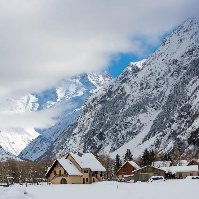
Mont Viso lies right next to the Queyras Regional Nature Park. The valleys of this Alpine and tourist region are home to unspoilt villages and hamlets full of character, pine forests, lakes and peaks topping 3,000 metres.

You can visit Saint-Véran, the highest inhabited village in Europe at an altitude of 2042 metres, and one of the “Most Beautiful Villages in France”. You can also admire the castle of Fort-Queyras, which dominates the village of Château-Queyras, or discover the many sundials that adorn the houses.

There are plenty of hiking trails to discover the local heritage and natural sites, including lakes, mountain chalets and crosses on summits. You can also go mountain biking or road cycling. The most experienced cyclists pass through the village of Arvieux to climb the Col de l’Izoard, a legendary stage in the Tour de France.

In winter, Queyras enjoys abundant snow cover and excellent sunshine. You can enjoy downhill skiing in the park’s ski resorts, cross-country skiing, ski touring, snowshoeing or dog-sledding.

Wherever you are in Queyras, look east: you might just catch a glimpse of Mont Viso!

Practical information

In the Queyras, the village of Ristolas is the ideal starting point for a hike close to Mont Viso. You can also get close to this iconic peak from Molines-en-Queyras and Saint-Véran, by taking the D205Tl road. From the Col Agnel, you can reach the Pain de Sucre summit (3208 meters) after a walk of around 1 hour 40 minutes and 600 meters of ascent: the view of Mont Viso is breathtaking.

Close