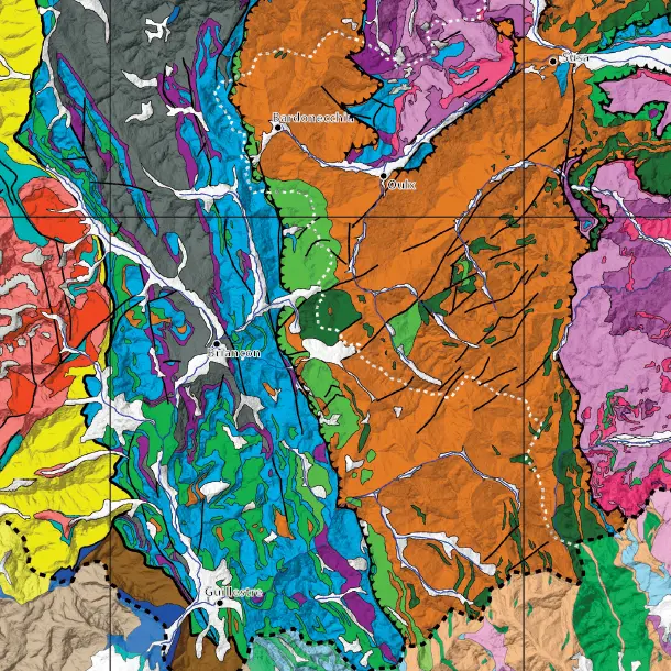
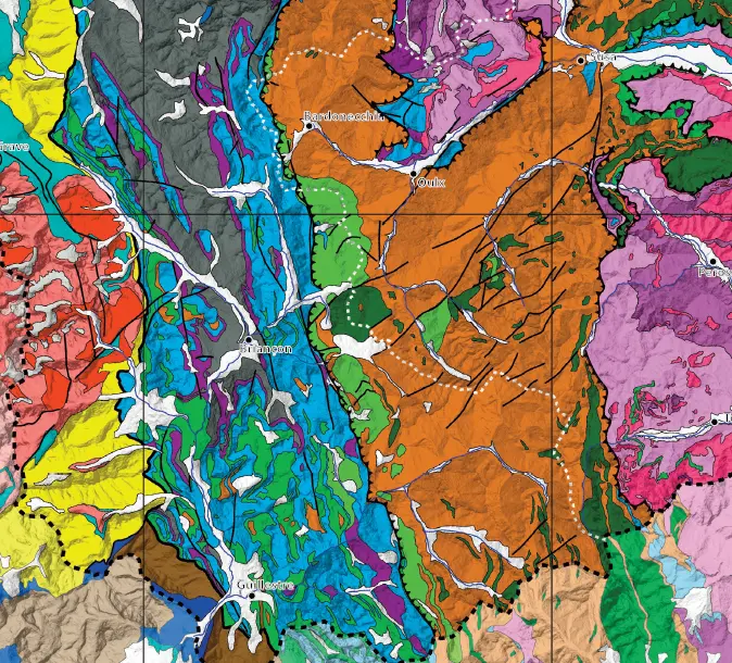
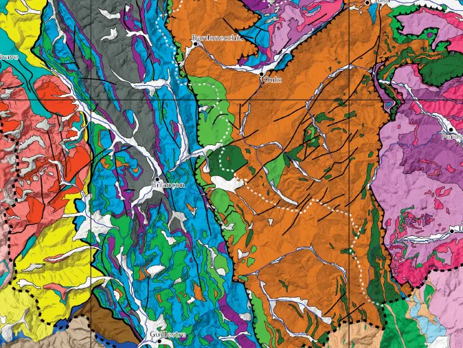
The Col de Chaude Maison is evidence of the boundary between the Briançonnaise island and the Piedmontese marine basin in the Jurassic period.
The Rochebrune chain rises above the schistose Queyras. It is part of a narrow, discontinuous western fringe of the continental margin (Piedmontese nappes) that formed the Triassic dolomitic massifs.
An important geological feature, the Col de Chaude Maison allows us to distinguish sediments from the European continental margin of the Alpine Ocean, deposited in the basin to the east of the Briançonnaise island.
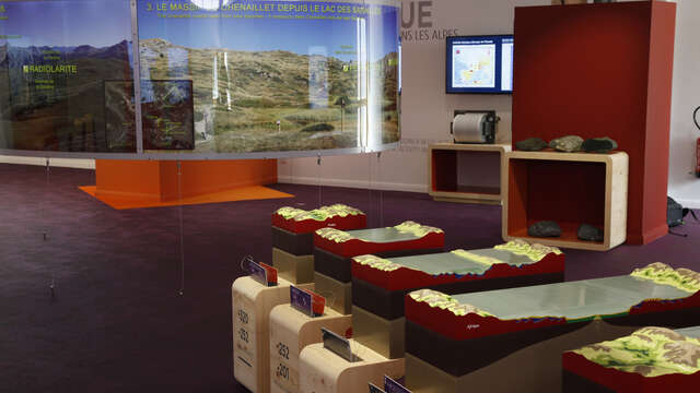
Pedestrian course marked out by 3 explanatory panels set up in spring 2008 illustrate the mining aspects.
Where: above the "fork" of the roads which lead to Puy St André and Puy St Pierre.
Free admission.
Autonomous visits:
The association finalized documents which allow to visit the geologic sector of Combarine in a autonomous way.
* a guide-paper of 20 pages illustrated with photos, map and plans. Sites to be visited are georeferenced (coordinated GPS). The document is available in photocopies black / white on the 3-euro price.
* a tape guide working on a "walkman MP3" associated with a portable amplified surrounding wall.
* an application for screen phones tactile (smartphones) working under " androïd " (see below)
Free download of a guide of visit at the following address: http: // sgmb.fr / lesitedecombarin / index.html