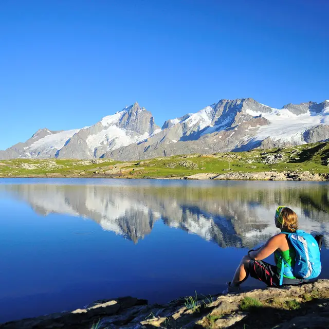
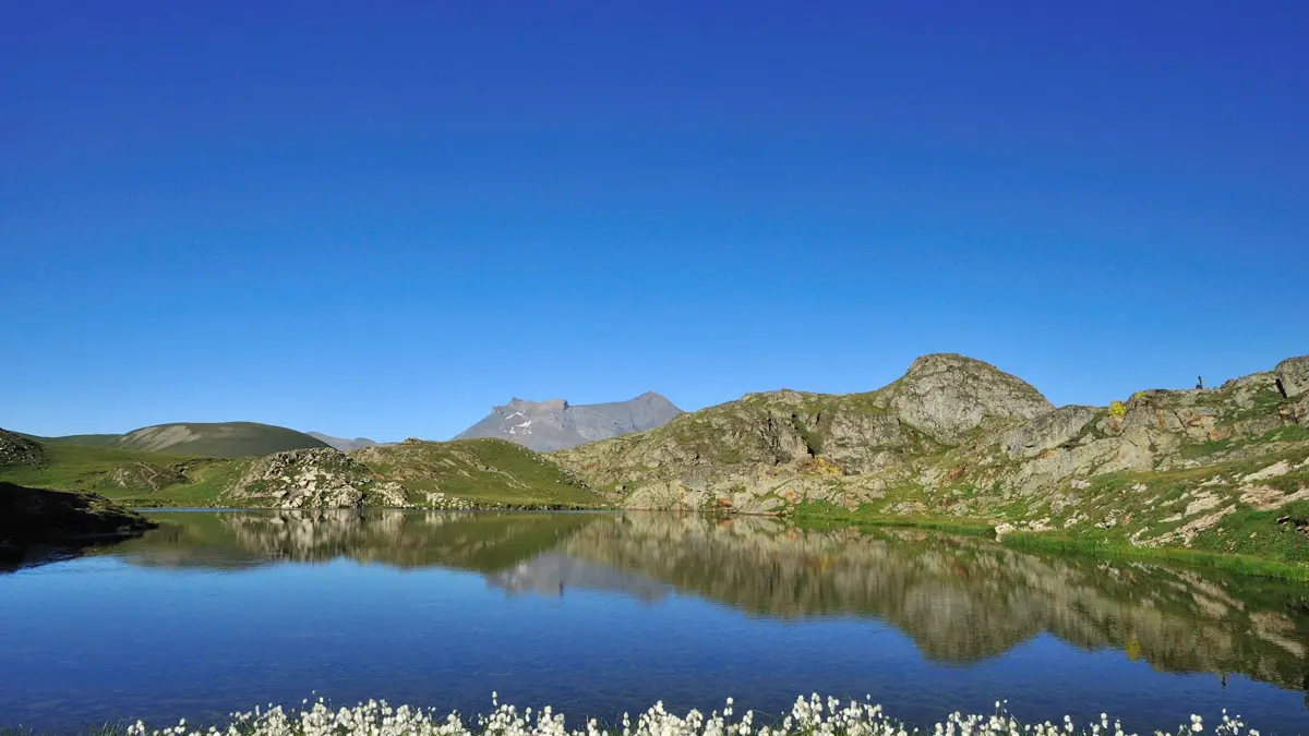
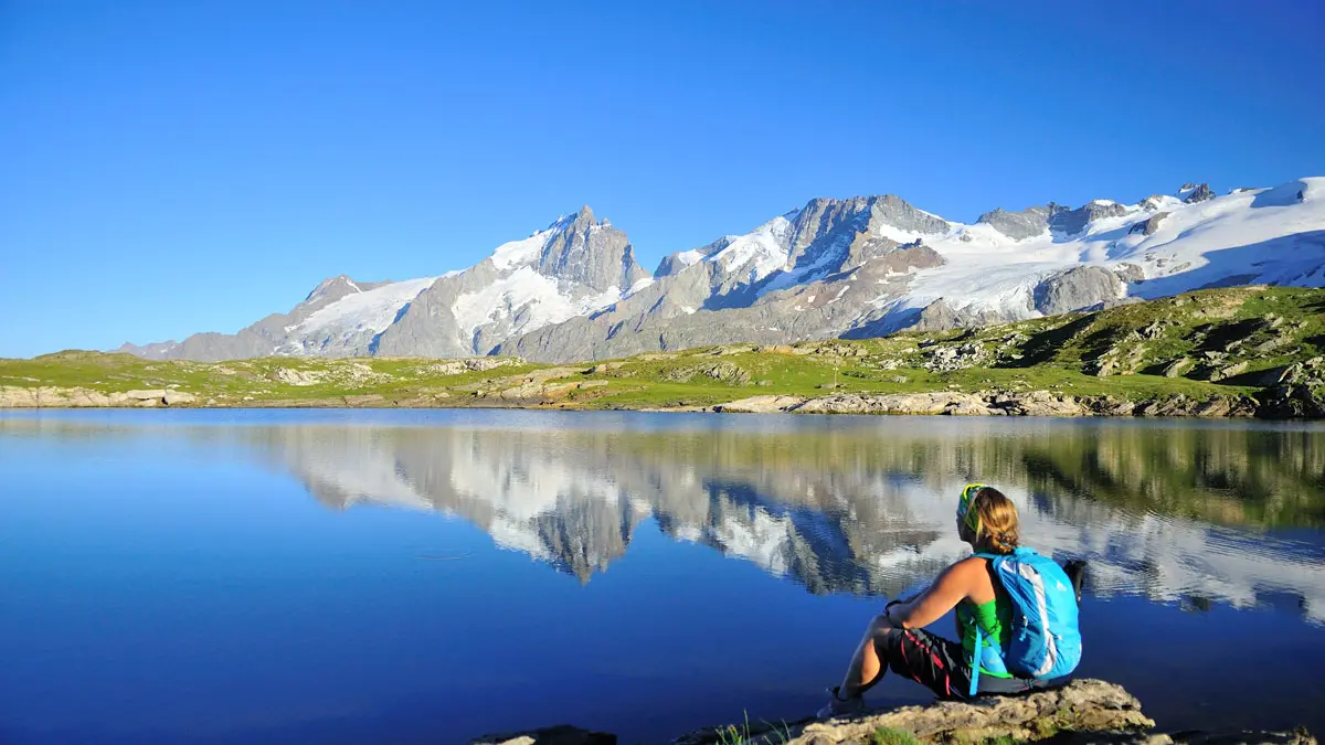
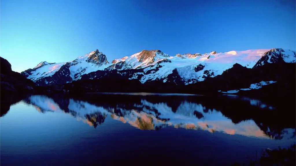
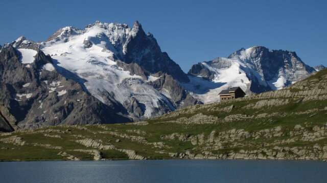
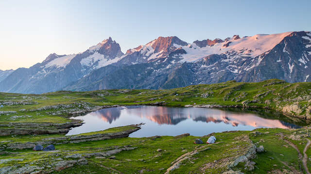
Lerie lake and Black lake, nestled on the plateau from Emparis are just magnificent viewpoints to the edges of the North face from La Meije and "Le Rateau" pic 3809 m, 2 famous peaks of the Oisans.
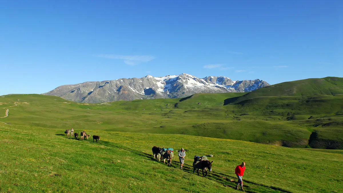
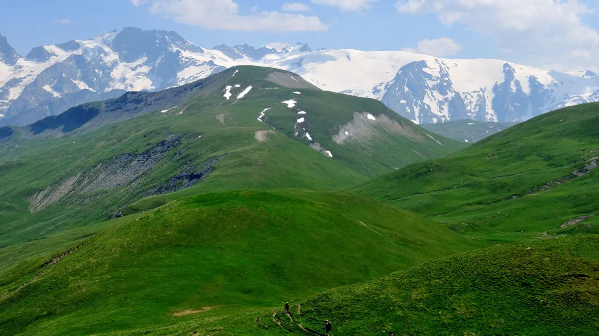
The Emparis Plateau is a Natura 2000 classified site with fabulous landscapes: flower-filled meadows stretching as far as the eye can see in spring, with the Meije and its glaciers as a backdrop, all at an altitude of around 2,000 meters. A sea of greenery, calm and restful in the heart of the rugged Oisans mountains.
Numerous geographical and geological factors, as well as human activity such as pastoralism, have contributed to the creation of these steppe landscapes. The many herds that still graze in the mountain pastures add to the charm of the area. A distinctive feature of this site, within the mineral-rich Oisans region, is the abundance of water: peat bogs, lakes, and torrents.
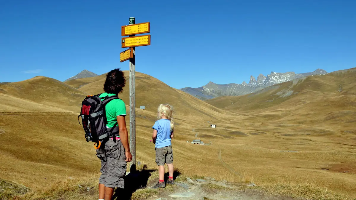
There are several hikes of varying difficulty to reach the Emparis Plateau, either from Le Chazelet above La Grave, or from Mizoën or Besse.
Please note: Many herds are guarded by Patou sheepdogs. Hikers with dogs are therefore strongly advised not to stray from the path and to keep their animals close by or on a leash when approaching guarded areas. When faced with a guard dog, remain calm and passive to reassure it.
A free brochure providing information on how to behave around Patous is available from the La Grave Tourist Office.
From Le Chazelet:
Cross the Gâ torrent and, after a long series of hairpin bends, you will reach the vast pastureland of the Plateau. Continue along the GR® trail, which crosses several valleys, then leave it and take the path on the left (signposted) that climbs up to Lake Lérié. Continue to Lac Noir. In good weather, you can admire the peaks of La Meije and Le Râteau reflected in the lakes. Return via the same route (750m elevation gain).
From Mizoën:
At the entrance to Mizoën, turn right onto the track that climbs to the hamlet of Singuigneret, park and take the GR 50-54C to the lakes (1,200m elevation gain). Or drive up the track to the Chalet du Fay (200m elevation gain).
From Besse:
Park at the edge of the village and take the GR 54 to climb up to the plateau (1,000 m elevation gain). Or take the unpaved road that climbs up to the parking lot at the ruins of the Chalet Josserand for a hike with an elevation gain of about 250 m.
Located 6 km from Villar d'Arène
Attraction: Breathtaking view of La Meije and its glaciers / Wide open spaces
Guidebook: FFR Guidebook “Tour de l'Oisans et des Ecrins”
IGN map 3435 ET
Starting point: Le Chazelet
Markings: GR®54, white-red, plus signs for the Ecrins National Park