The Massif de l'Arbois forms a vast plateau spanning over 37,000 acres, encircled by 3 large urban centres: Etang de Berre, Aix-en-Provence and Marseille. Its perimeter is globally marked to the North by the A8 highway, to the South by the A51 highway, the D6 and the N113 roads, to the West by the Etang de Berre industrial park and to the East by the D543 road.
The massif's vast plateau offers excellent visibility (highest point 270 m) over the surrounding landscapes and comprises 4 well-distinguished entities:
- the slopes stretching from Vitrolles to Velaux, marking the western edge of the plateau and comprising steep and rocky piedmont plains, with a few valleys and agricultural basins (altitude drops to around 50-60 metres in the plain 180 metres away, at the edge of the plateau)
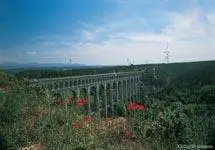
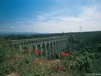
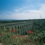
- the central, vast and tabular Grand Arbois plateau covered with garrigue, stretching as far as the eye can see: this plateau is crossed by numerous infrastructures such as power lines, TGV high-speed railway line, etc.
- small, wooded hills, rising to an altitude of 230-250 m, which form the hem of the plateau to the North, East and South
- the agricultural plains set at the foot of the hills (Bassin de Velaux to the North-West, Plaine des Grandes Terres to the northeast, Vallée de Saint-Pons to the East and Plaine de l’Arbois to the southeast).
The central area of the plateau is little-frequented, but its northern, eastern and southern fringes are home to a dense communications network serving numerous dispersed or isolated houses. The forest fire prevention (DFCI) firewall network is mainly situated in the northern half of the massif.
Most of the Massif de l’Arbois is exposed to strong Mistral winds (northwesterly) and southerly winds. It is located in the coastal Provence climate zone. Average temperatures in the massif are between 13 and 14.5° C.
Its vegetation comprises over 65 % low-lying garrigue or young trees growing further to forest fires. The central plateau mainly comprises low garrigue, while "established" forest land is located mainly on the small hills to the North, East and South of the massif. Most of these tree formations consist of adult Aleppo pines leafy populations remain marginal and restricted to the bottom of the cool valley.
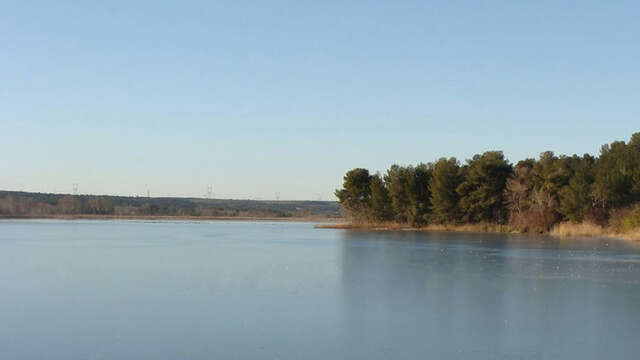
With its broad variety of natural environments, ranging from the wet zones of Réaltor and river formations of l’Arc and Grand Torrent, to the xeric zones of the plateau, the Massif de l’Arbois, standing over Etang de Berre lake, has formed part of a Special Protection Zone (ZPS) for birds since August 2003.
Since October 2001, it has also been the site of a "General Interest Project" (PIG) relating to the protection of the Arbois area. Despite a poor image due to repeated fires and high urban development in its fringe zones, Arbois is still home to several areas recognized for the quality of their natural environment and protected by specific measures.
The massif is mainly frequented by local populations from neighbouring towns, who appreciate the proximity of this natural area for walks and sporting activities.