Lautaret pass - Natural Reserve of Combeynot

  • Peak
  • Mountain pass
  • Mountain
  • Viewpoint
Elevation : 2058m
D1091, Col du Lautaret, Villar d'Arène, 05480 Villar-d'Arêne
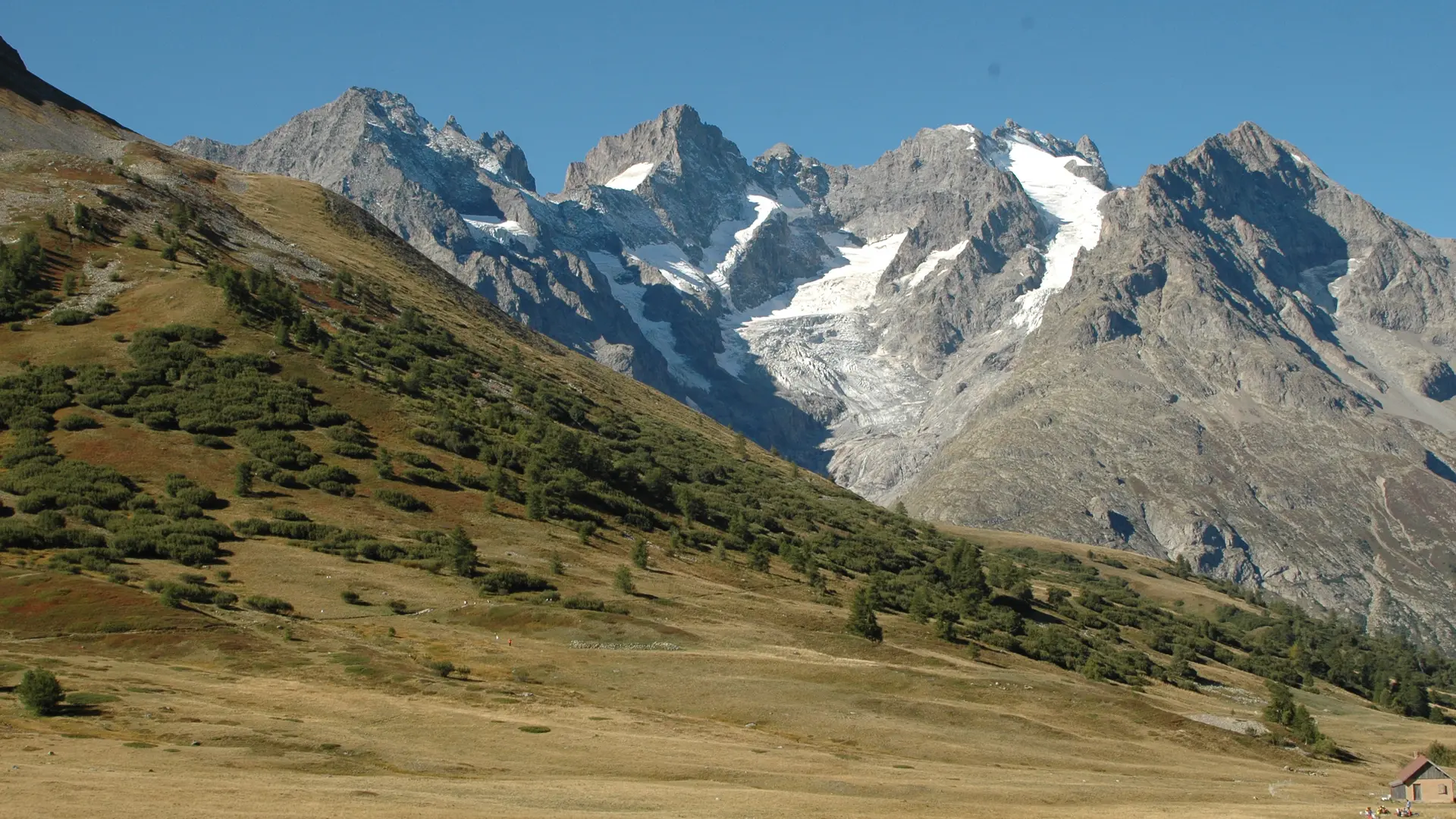
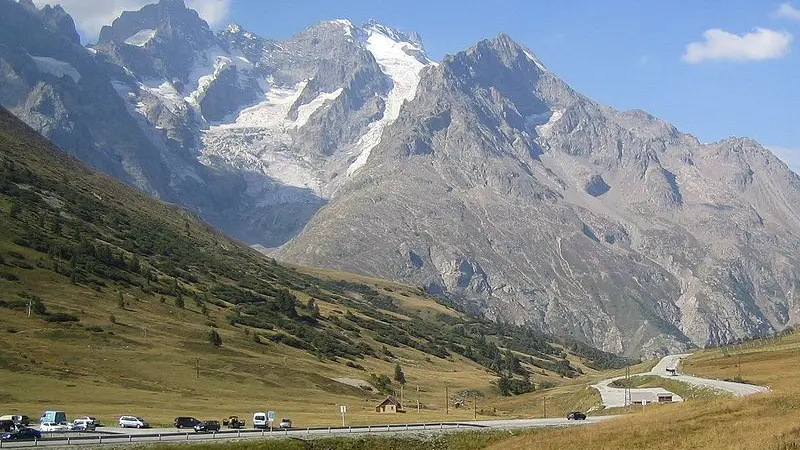
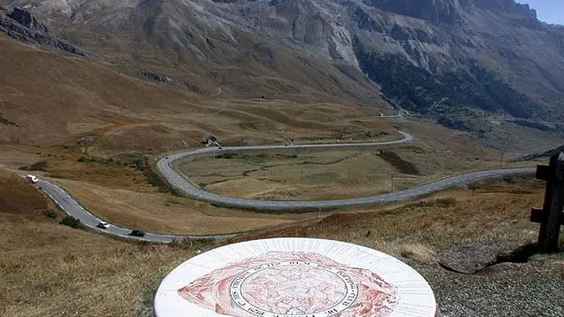
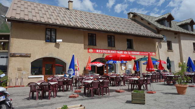
The Lautaret pass is the crossing point between the Romanche Valley and the Guisane Valley. It is also one of the lowest points on the ridge line separating the Northern Alps and the Southern Alps.
The relatively gentle slopes leading up to this mountain pass were shaped by a glacier running into the two valleys on either side. Because of its accessibility,, the Lautaret Pass has long been an important transport route between Grenoble and Briançon, as well as a route over the Alps to Italy. 
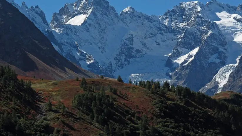
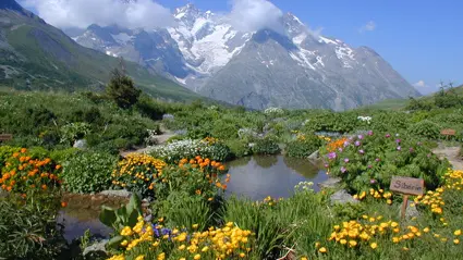
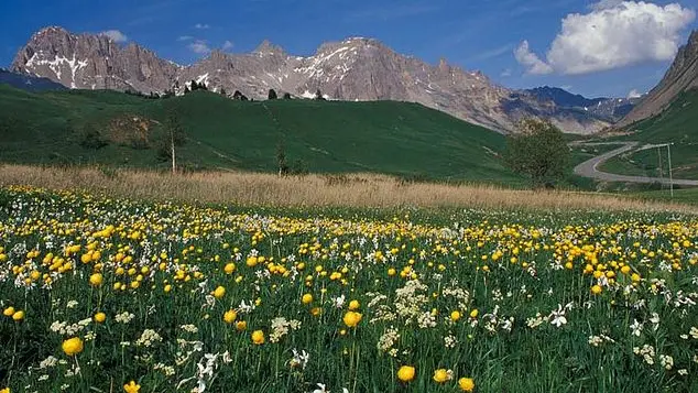
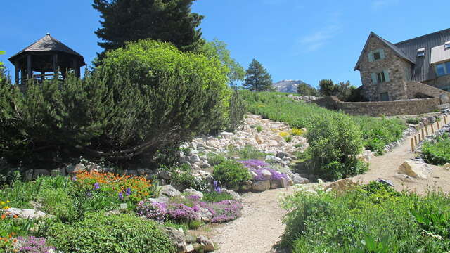
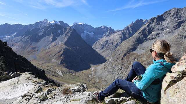
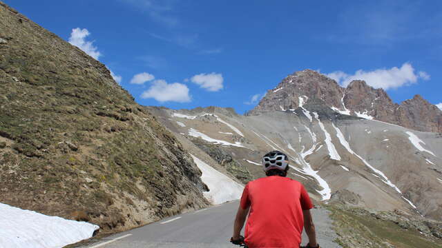
The road over the Galibier Pass starts out at the Lautaret Pass. The source of Guisane River is just above the pass. The Nature Reserve of Combeynot, with an area of ​​685 hectares, covers the entire NW face of the Combeynot peaks, visible from the Lautaret Pass.

Services

Car park

Accessibility

Accessible for wheelchairs with assistance

Rates

Free of charge

Accepted customers

  • Groups

Openings

All year 2026 - Open everyday

Location

Lautaret pass - Natural Reserve of Combeynot
Elevation : 2058m
D1091, Col du Lautaret, Villar d'Arène, 05480 Villar-d'Arêne

Spoken languages

Spoken languages
  • Italian
  • English
  • French

Environment

Environment
  • Close to GR footpath
  • Mountain view
  • Mountain location
  • Isolated
  • Lake 5 km away
  • River 5 km away
  • Close to a public transportation
  • Village 2 km away
Updated on 18 March 2026 at 14:46
by Office de tourisme des Hautes Vallées - La Grave - La Clarée - L'Izoard
(Offer identifier : 378882)
Report mistake
Filter search
Page types
  • All
  • Articles
  • Agenda
  • Lists