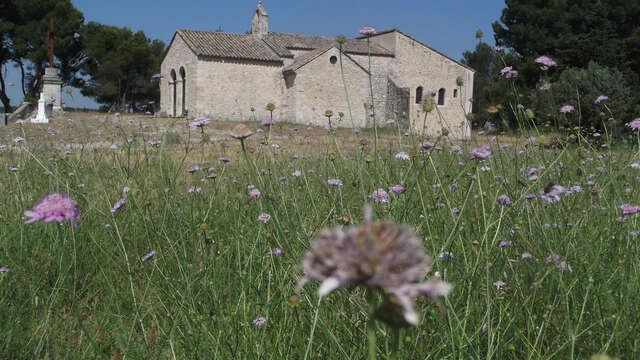
The Rougadou is a very small (254 ha), isolated in the midst of very few wooded areas. It is located to the Northwest of the Department, near the Durance and the continuity of the Rhone corridor.
The Rougadou massif consists of several hills globally oriented in a direction North / South, the low average height, but the relatively steep relief.Due to its positioning in the axis of the Rhone Valley, the massif of the Rougadou is strongly subject to influence by the mistral, blowing sustained a large part of the year.Forming a set of wooded hills, the Rougadou massif presents a very high rate of afforestation (83%), these stands are mainly composed of pine forests in good health condition, accompanied by green oak.Despite its small size the Rougadou massif is a very frequented by the local population (families, hunters, school,...) due to its isolated situation of other larger clumps. Thus, a reception area of the public in the forest (ZAPEF) premiered in limit of massif, in the town of Chateaurenard.Because of its small size, the urban problem is little developed, even if it can report the problem of subdivisions quite difficult to defend in the commune of Noves.
Between 1 June and 30 September, access to the forests is regulated by prefectoral decree and may be regulated by municipal decree, for your safety and the preservation of sensitive sites. Before following your "walking wishes", call 0811 20 13 13. Every day, you will be able to find out whether the site you wish to walk to is free all day long, open only in the morning, or completely closed. Depending on the weather conditions, the level of danger "forest fire" (orange-red-black) is known at the latest at 6pm for the next day.