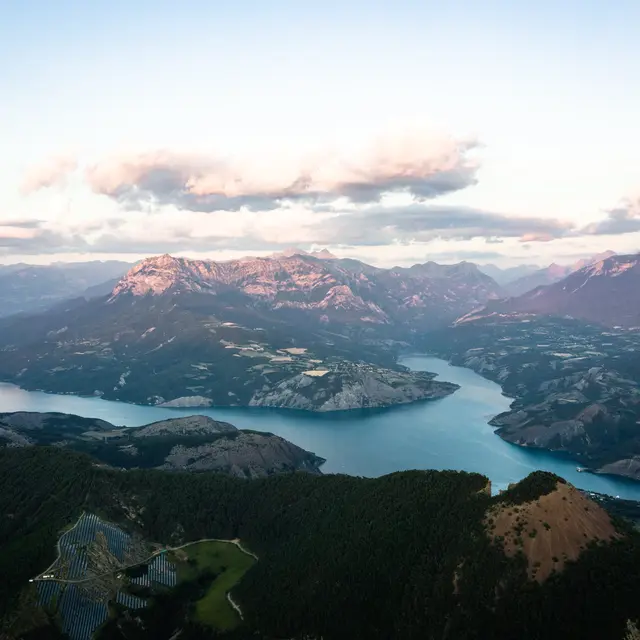
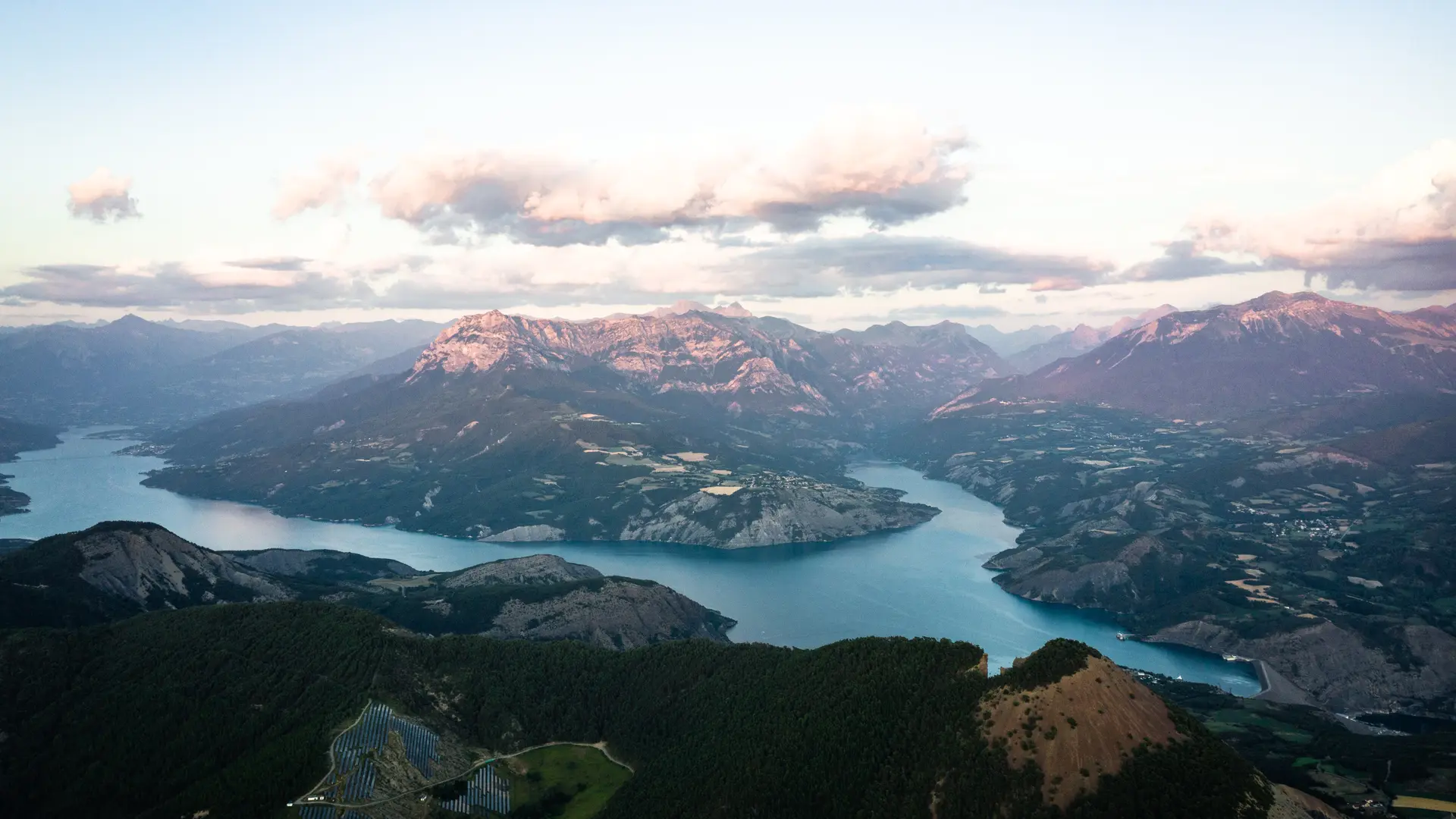
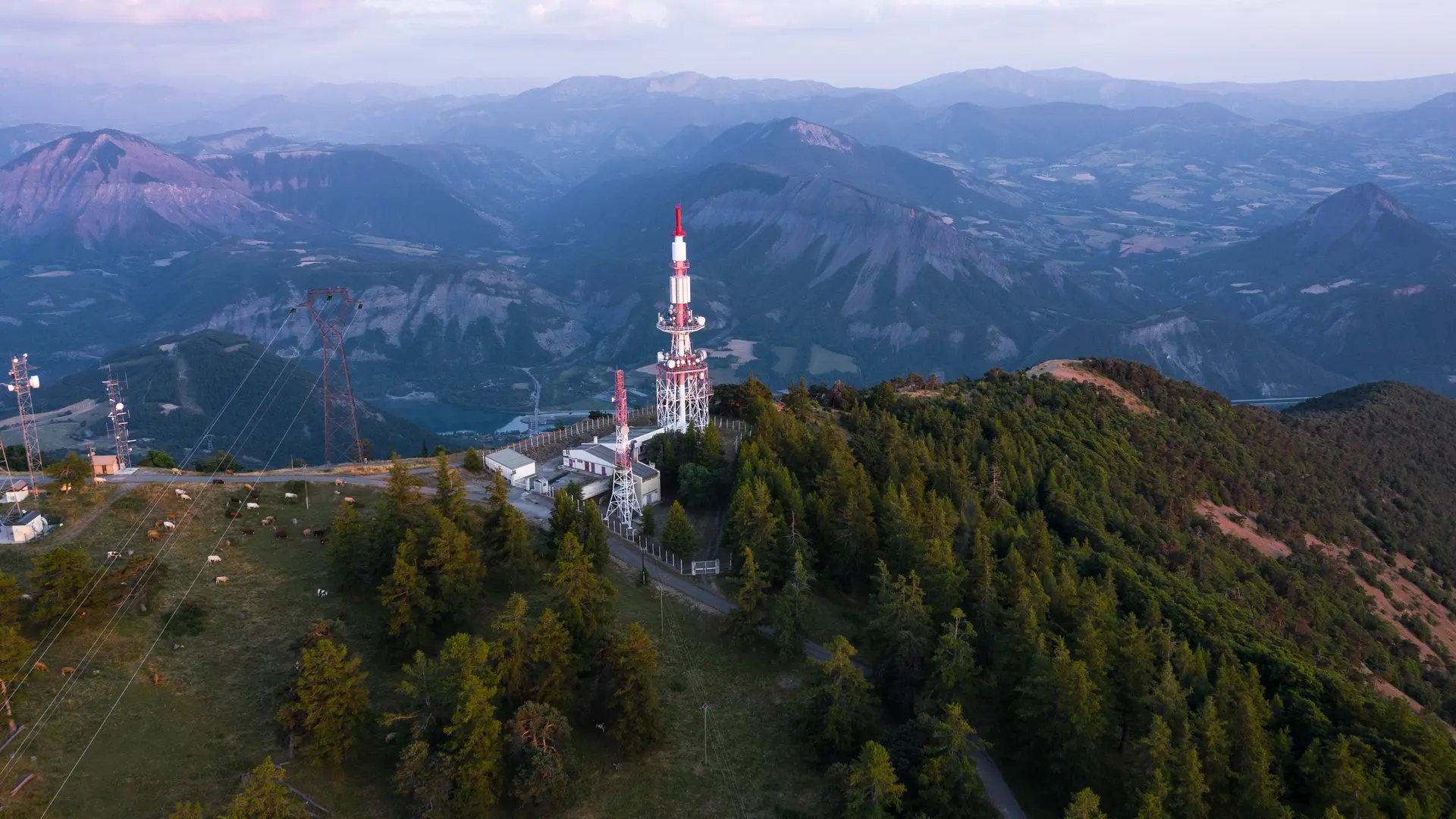
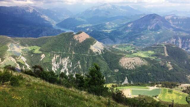
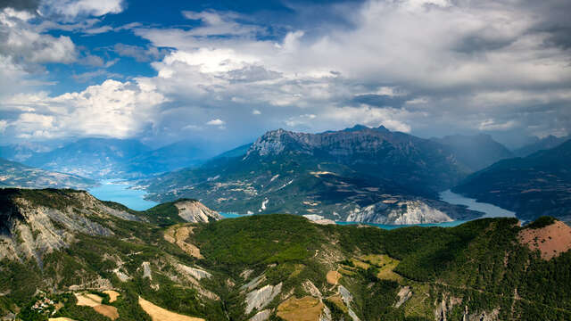
Mont-Colombis: a breath of fresh air and an impressive panorama, this is what awaits you when you reach the summit at 1 734 m. At the top, you will have a 360° panoramic view of the Durance and Avance valleys and the Serre Ponçon lake.
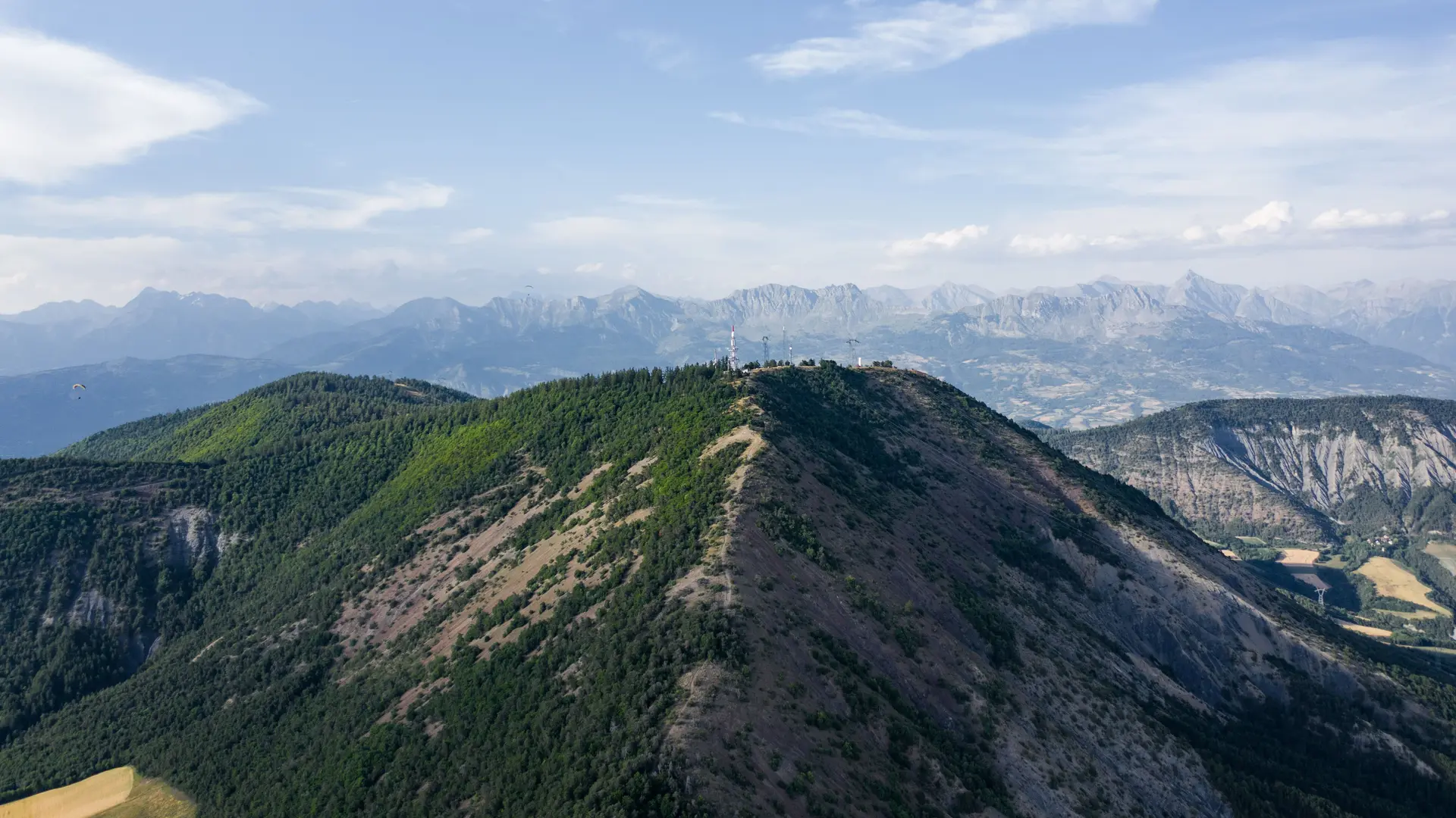
It is a classified site (natural zone of ecological, faunistic and floristic interest (ZNIEFF). Its landscapes are a succession of plateaus rising in altitude which border the Avance plain on either side. Its summit is home to a RHYTMME radar from Météo France, which provides precise real-time information on hydro-meteorological risks in the Southern Alps.
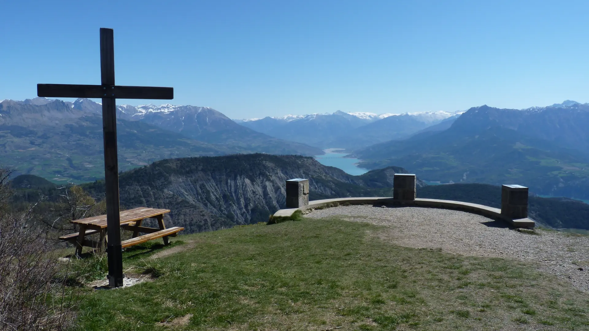
Benches and orientation tables allow you to enjoy the panorama of Serre-Ponçon.
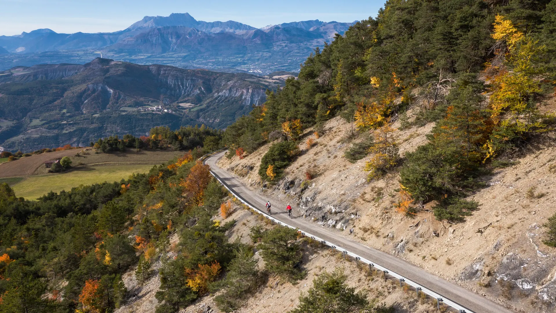
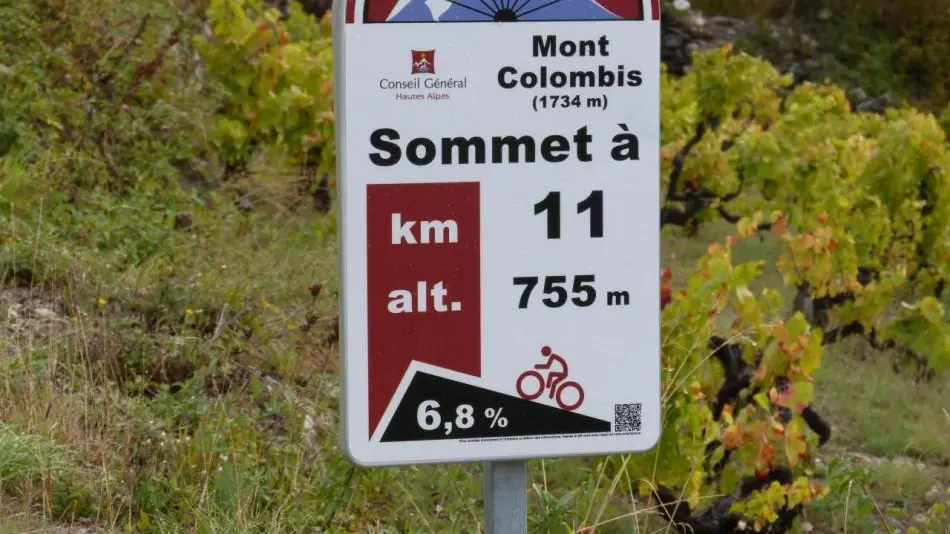
- By bike: the climb is very popular with cyclists because of its relief and its frightening gradients.
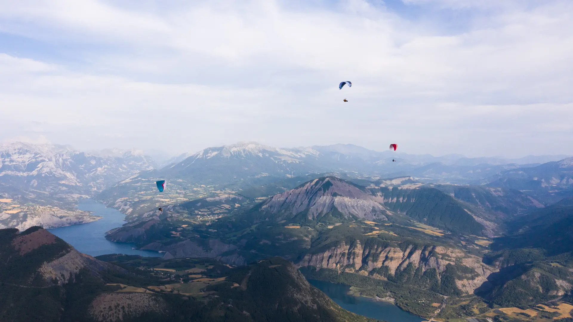
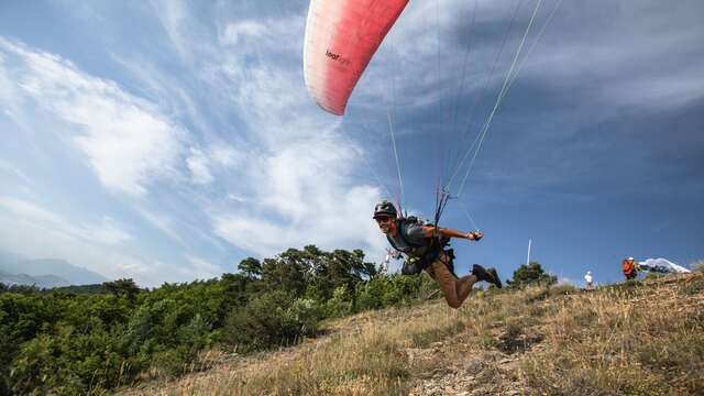
By paraglider: Mont-Colombis is a very popular take-off site for paragliders. On foot: the site is long to reach but the bravest will be rewarded: walking departures are possible from the communes of Chorges, Avançon or Théus.
- By car: the only access road is from Théus. It is possible to reach the summit by car.
The slopes of Mont-Colombis are geographically shared between the communes of Espinasses, Théus, Remollon, Valserres, Saint-Étienne-le-Laus, Avançon, Montgardin, Chorges and Rousset. The summit is administratively located at the limit of the communes of Théus and Espinasses.