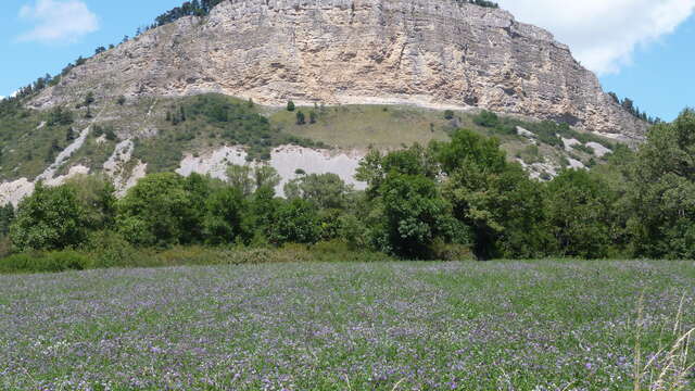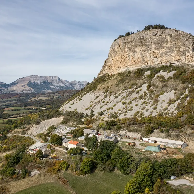


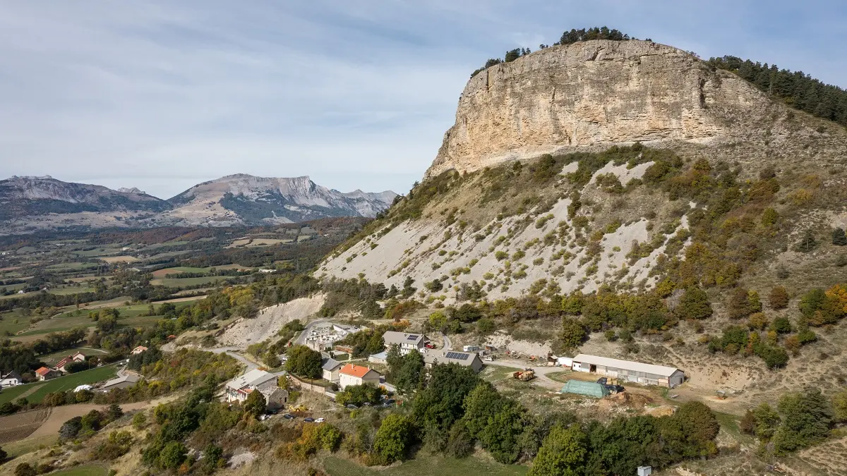
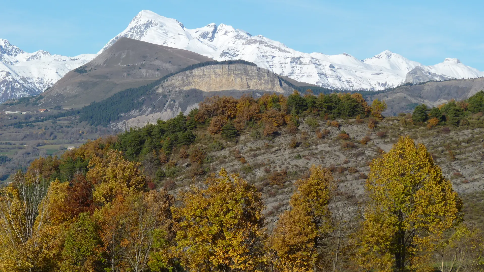
At an altitude of 1,426 metres, this iconic limestone cliff is an integral part of the landscape. Visible for miles around, it's easy to see why it's known locally as "Napoleon's Hat".
The dome owes its name to its particular shape and refers to the famous Napoleon Bonaparte. Indeed, it was in March 1815 that he took certain roads in the Hautes-Alpes to reach the capital and regain power (hence the famous "Route Napoléon" which crosses our mountains). Remembering the very good reception received by the populations, the Emperor bequeathed in his will the sum of 50,000 gold francs, which allowed the construction of refuges between 1856 and 1858, under Napoleon III, on many passes of the Hautes-Alpes!
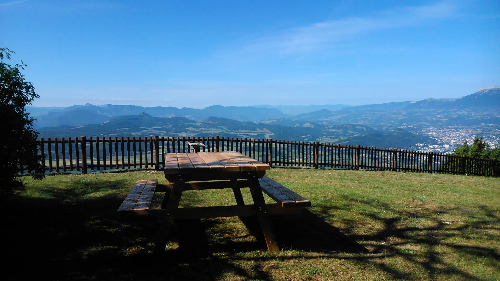
Easily accessible on foot from the top of the village of La Rochette, don't miss a nice walk at any time of the day to admire the Gapençais basin and the Avance valley. A quite remarkable panorama will be offered to you.
Departure : from La Rochette, information panel, after the hamlet "Les Férauds". Follow the yellow markings.
Parking: park at the junction between the RD14 and the cemetery road.
Duration: 1h30
Distance: 5 km
Level: + 240 m