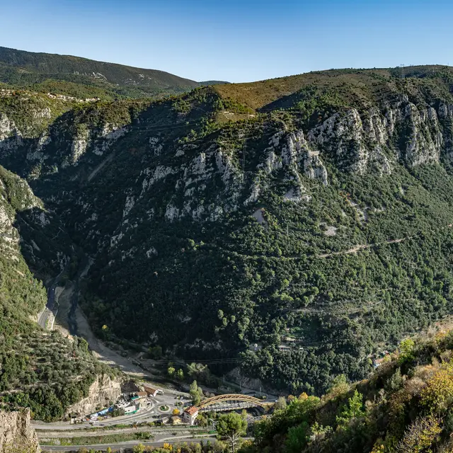
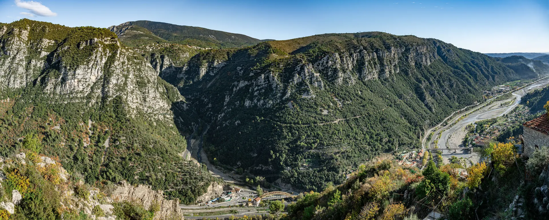
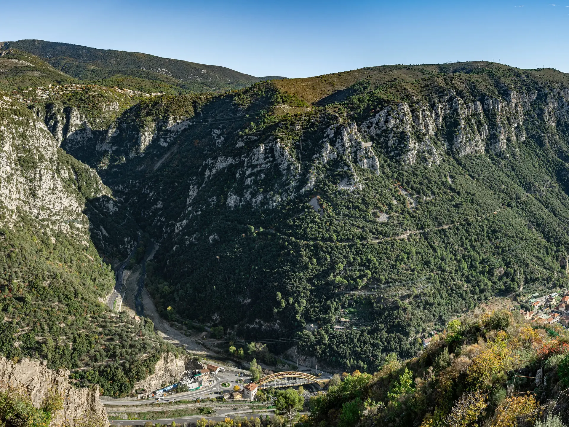
An incredible panorama from Place Saint-Benoît of the confluence of the Var and Vésubie rivers!
Landscape interpretation
The church of Saint-Benoit once stood next to the castle, of which only one tower remains, providing a watchtower over the plain as far as the sea. Traffic is organized by the bridges and roads that are clearly visible from this terrace, which offers a panoramic view of the confluence of the Var and Vésubie rivers - an original feature among the many landscapes along this route.
The brightly-colored Durandy bridge, on your left, sees the waters of the Vésubie, a tributary of the Var, flowing through narrow, spectacular gorges, a real invitation to discover the high country. Another metal bridge, the Gabre de Bonson, links the hamlets of Plan du Var and Gabre. A third, the Pont Charles Albert, on the right, built in 1860, provides safe passage between the two banks of the Var.
The two main roads are clearly marked: the one on the left bank of the Var takes you up to the mountains, while the more recent downhill road on the Var follows the river as far as Baus Roux. In between, the Provence railway line links Nice to Digne les Bains.
If people move, so do fluids, especially water. In front of you, an exceptional view of the Vésubie canal, which supplies water to the coast. And along the Gabre, the hydroelectric plant that harnesses the power of the torrent to generate electricity.