The origin of the name Levens comes from the name of the Ligurian tribe Leponti, which became Leventi in Roman times; the Celto-Ligurian radical lev meaning sloping ground. It was in fact a fortified settlement, with the castle overlooking today's village.
Landscape interpretation :
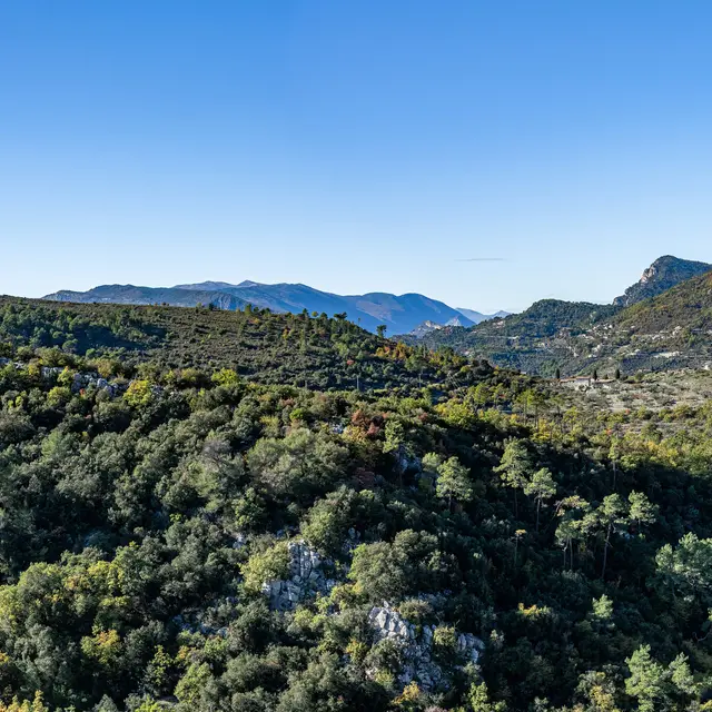
The strong markers of the landscape can be found in this village: an elevated site, clustered housing, narrow multi-storey houses, stone walls covered with ochre plaster, round-tiled roofs, vaulted passageways, alleyways and old porches, fountains. Outside, dry-stone terraces for food crops and olive groves on the Albarée plateau, and forest-covered hills complete the picture.
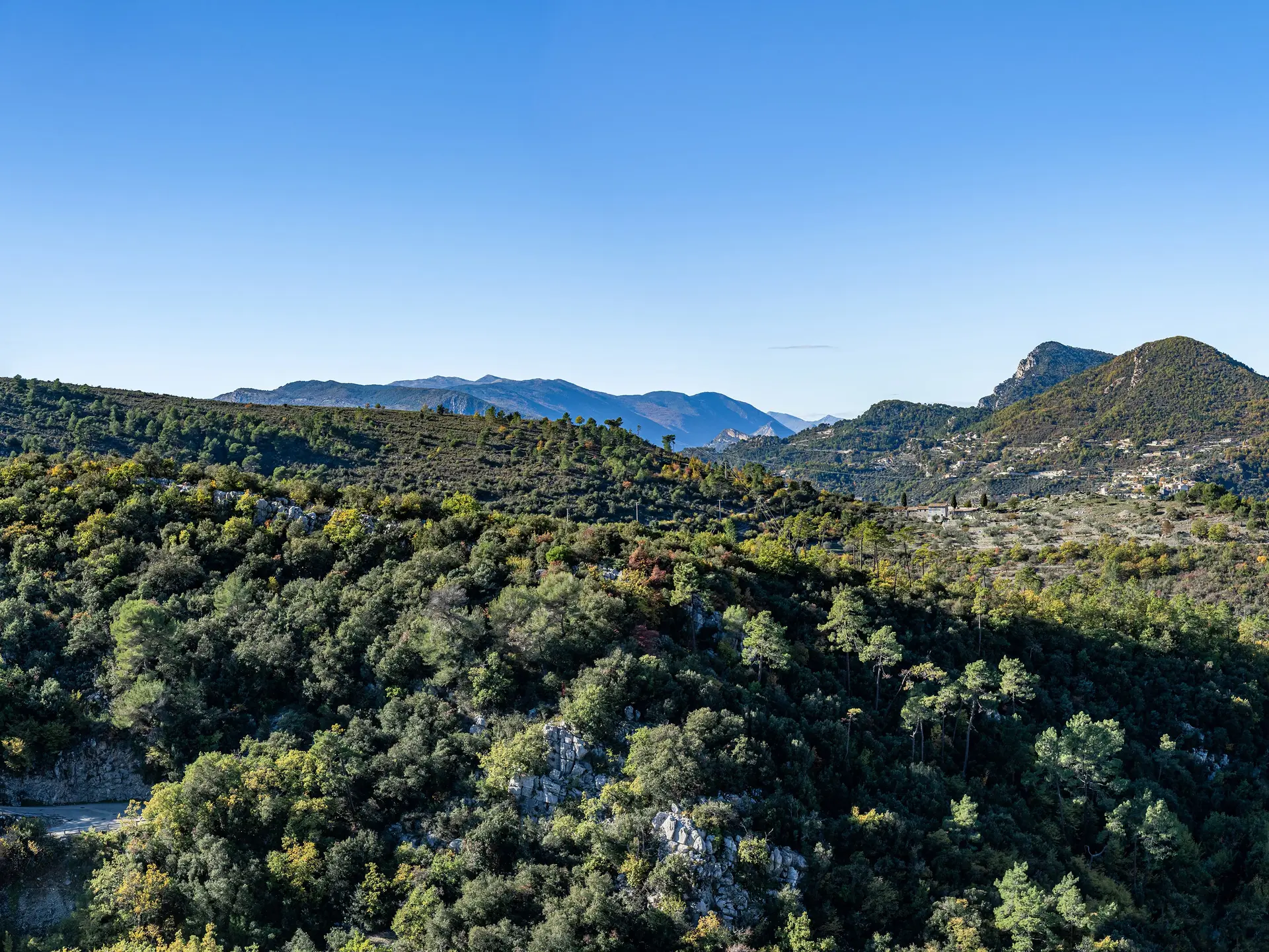
The commune has grown in several stages, and hamlets have sprung up since the 18th century: Les Traverses, Sainte-Claire, Saint Antoine de Siga, which you pass on your way to Saint-Blaise, and Plan du Var, which you can see from La Roquette sur Var.
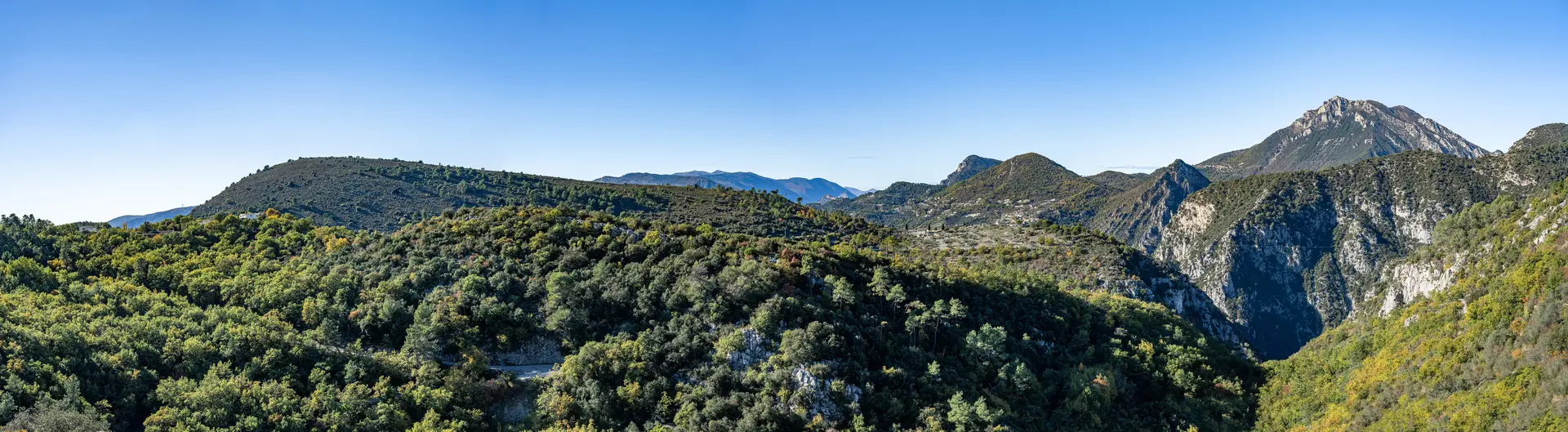
This highest point offers views of Mont Arpasse, Collet Saint André and the village of Bonson, then the Vésubie gorges and the imposing Mont Vial.
Until the early 20th century, the inhabitants of Levens derived most of their income from olive-growing and livestock farming, an activity limited by the scarcity of water, which reached the village in 1875 thanks to the acquisition of a spring, and again in 1949 via the Vésubie canal. The landscape is still marked by olive-growing, and the drive to Saint-Blaise will convince you of this.