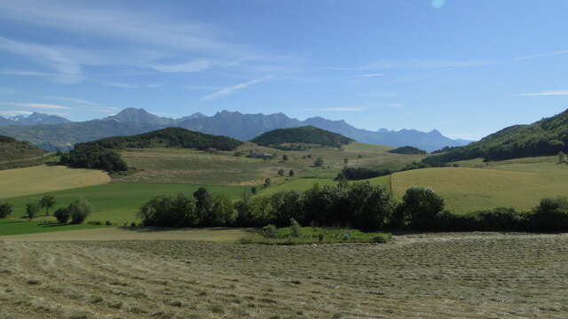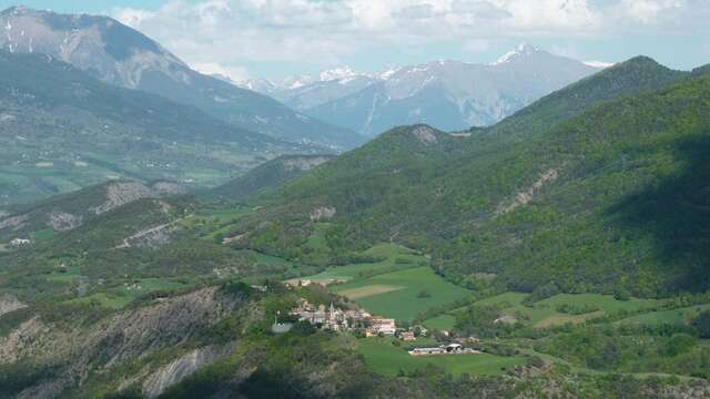
The Avance Valley is located in the south of the Hautes-Alpes, between the Durance Valley, the Serre-Ponçon lake and the town of Gap. It is bordered on the one hand by the Piolit-Chabrières massif and the Durance canal on the Serre-Ponçon side.
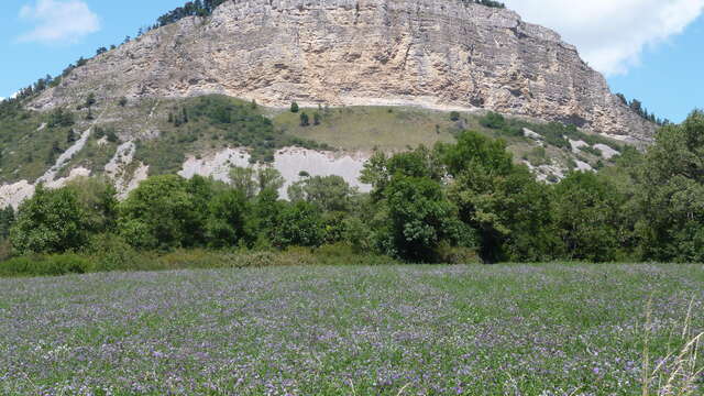
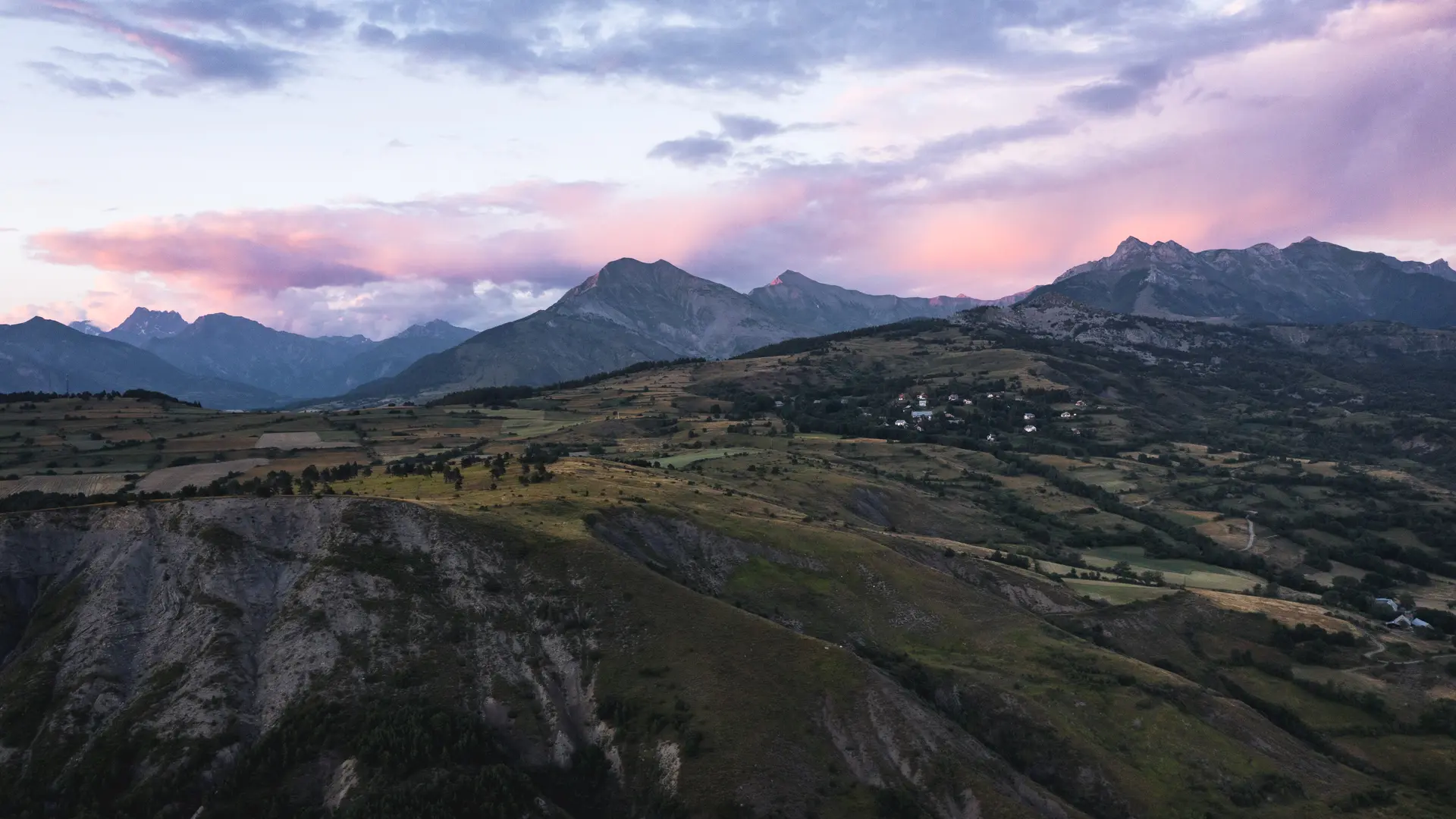
Due to its location in the heart of the Hautes-Alpes department, the Avance ranges in altitude from 600 m to almost 2,500 m, dominated by the Piolit summit, a Natura 2000 site.
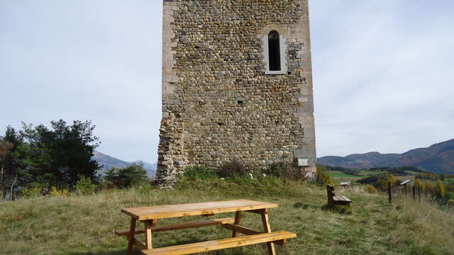
It is crossed by the Avance river, a tributary of the Durance, whose confluence is between Remollon and Lettret. The Avance is easily identifiable by the Puy-Maurel which dominates it and its antenna visible from afar.
The two agricultural valleys, the Avance Valley and the Durance Valley on the Serre-Ponçon lake side, unite around Mont-Colombis, whose slopes lie between the communes of Espinasses, Théus, Remollon, Valserres, Saint-Étienne-le-Laus, Avançon, Montgardin and Rousset.
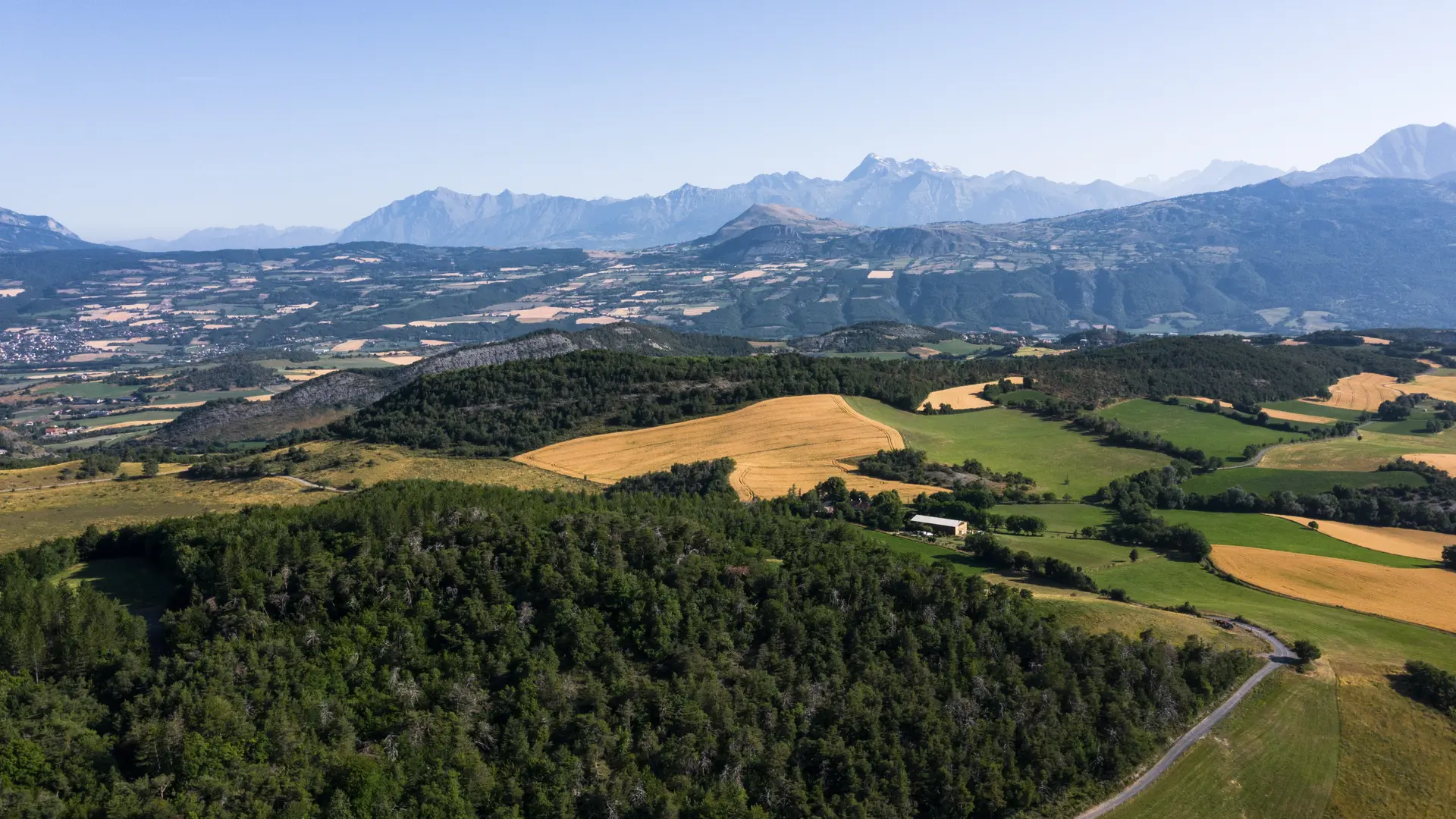
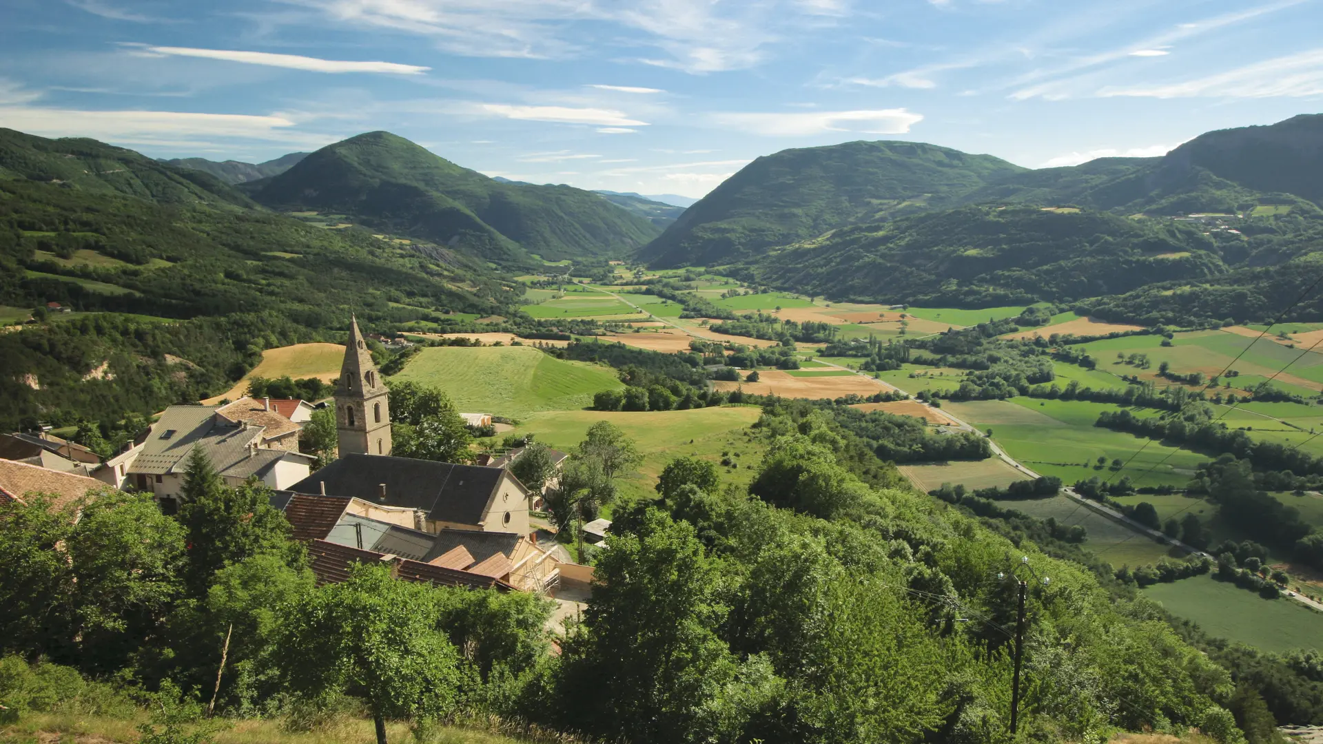
The Avance Valley is home to the sanctuary of Notre-Dame-du-Laus, the most visited site in the Hautes-Alpes. With almost 40% of its surface area covered by forest, this is a country that invites you to take to the fields, between green hills and medium-sized mountains where the colours of the sun, the earth and the water blend together!
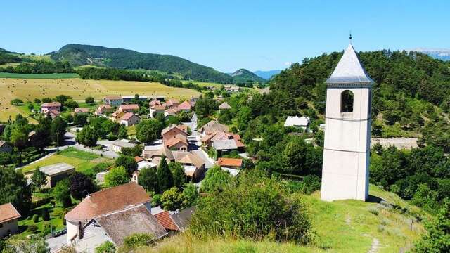
The 8 villages of the Avance Valley: Avançon, La Bâtie-Neuve, La Bâtie-Vieille, La Rochette, Montgardin, Rambaud, Saint-Etienne-Le-Laus and Valserres. The Balcons de Rambaud, the promontory of Avançon, the historic trail of La Bâtie-Vieille...there are so many secrets and landscapes to discover here.