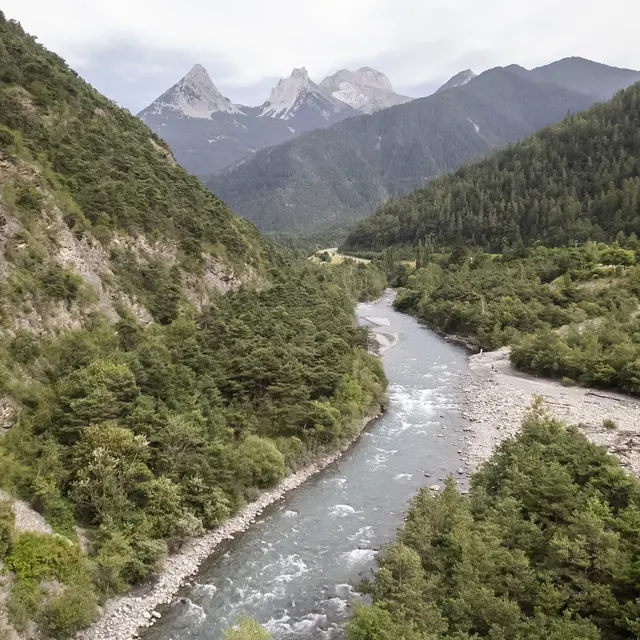
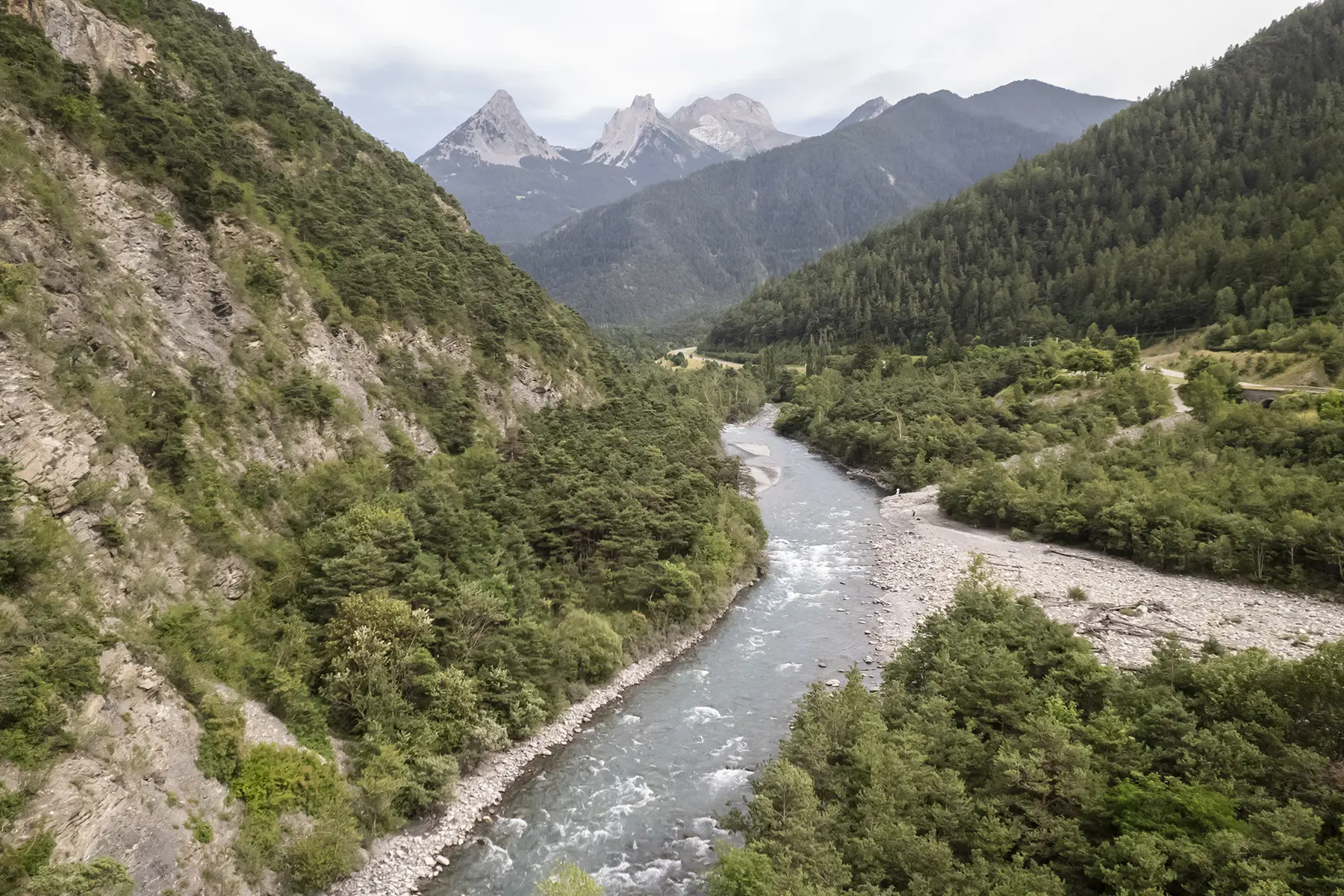
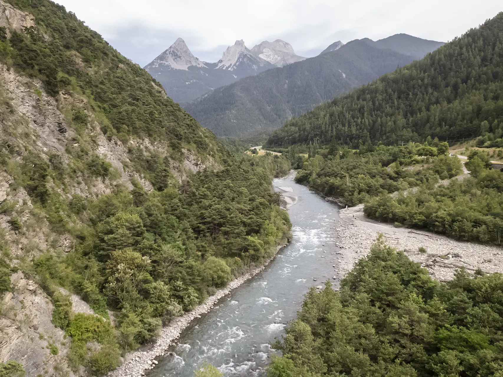
Before it was even a valley, the Ubaye was a torrent. Impetuous or docile, it ventures through the gorges, blossoming in places that the force of its waters has tamed.
The Ubaye rises at the Col du Longet at an altitude of 2,655 m in the small lake of the same name, and after about 83 km ends its course in one of the arms of lake Serre-Ponçon.
It gives its name to the Ubaye Valley.
Its main tributary is the Ubayette, which rises in Lake Lauzanier.
The latter is located in the Mercantour National Park near the village of Val d'Oronaye - Larche and the Italian border.
But the Ubaye river is also about landscapes, welcoming shores and the peace and quiet that you can drink in, lulled by the incomparable melody of the water as it flows, unperturbed, towards the towns you feel so far away from.
For thrill-seekers, there are 52 kilometres and over 60 rapids on offer!
The last natural-flowing river, it is renowned throughout Europe for its rapids.
It's THE spot for white water sports, and the bases offer you the chance to discover this magnificent river!
A wide range of activities to suit all tastes, desires and abilities, in complete safety and under the guidance of qualified guides.