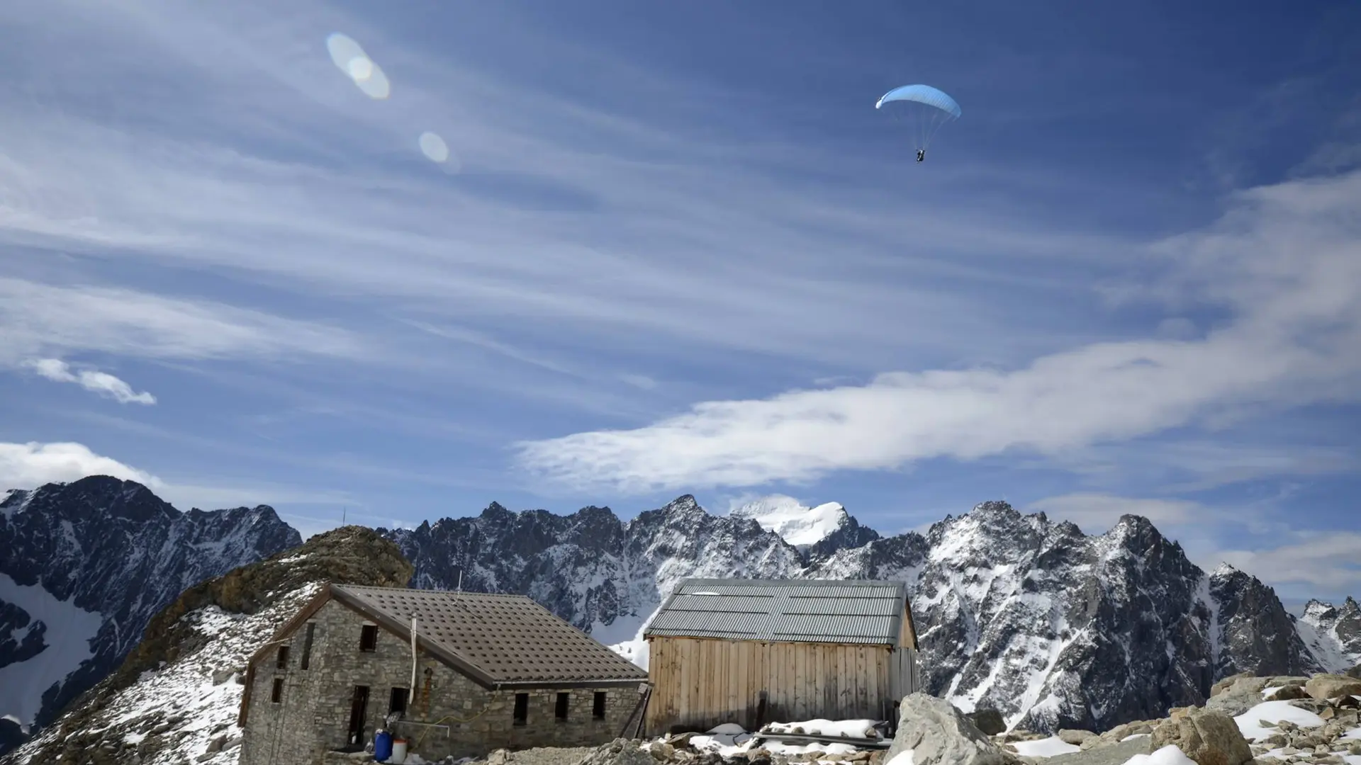
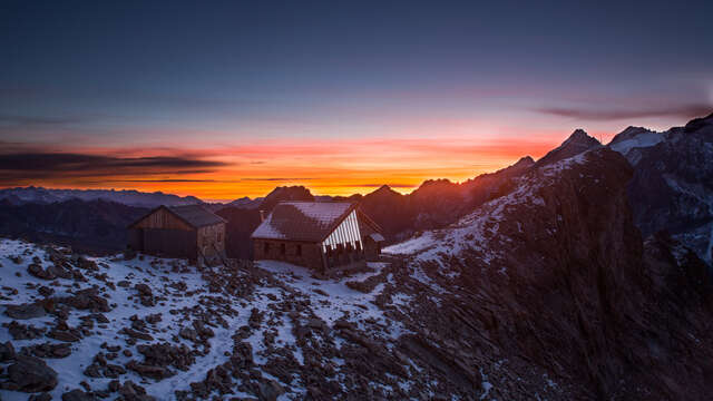
Adèle Planchard bequeathed her fortune to build the refuge along the Grande Ruine ascent route. Despite its "high mountain" setting, the long walk to the top is simple and superb, accessible to almost any hiker!
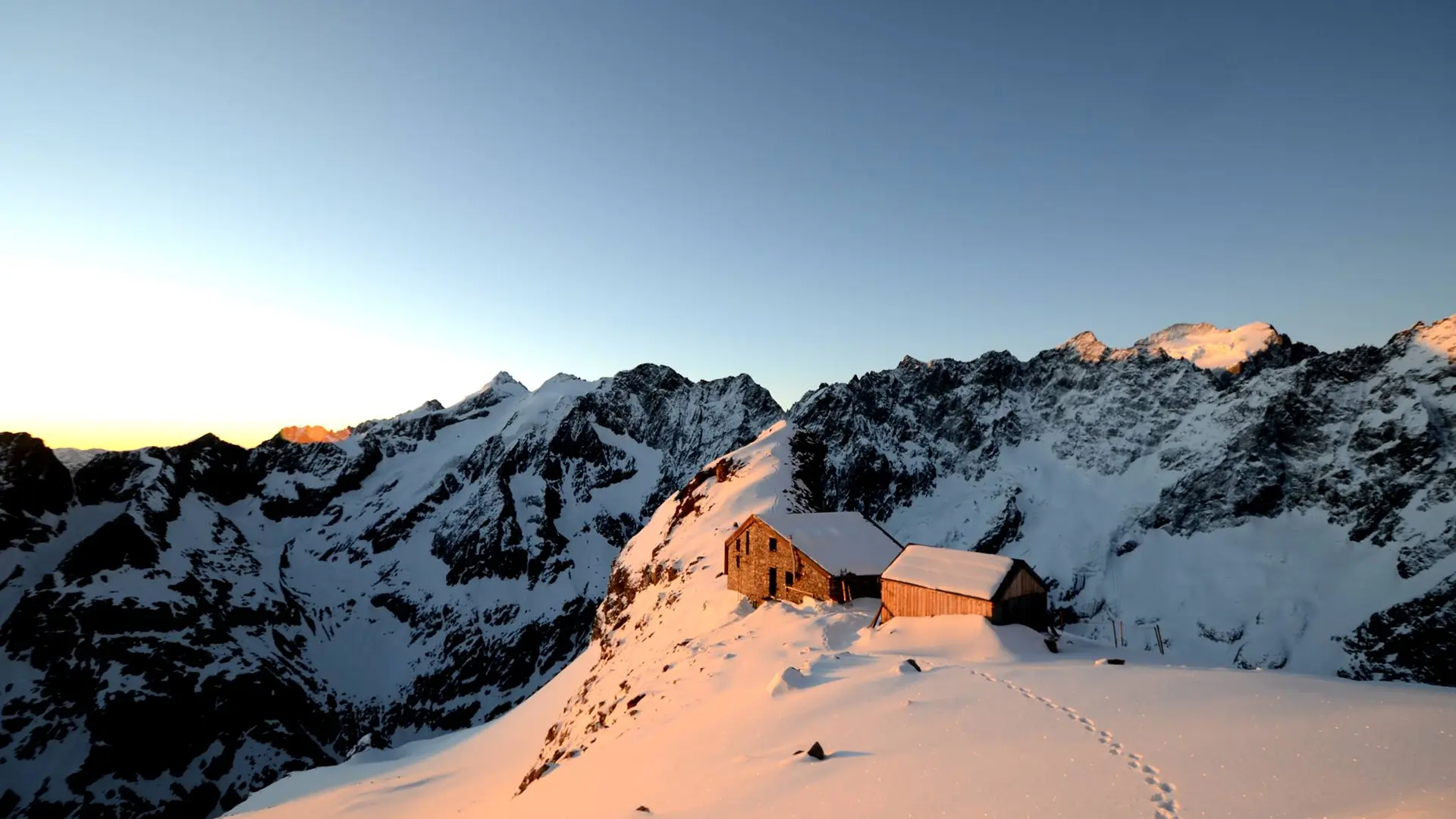
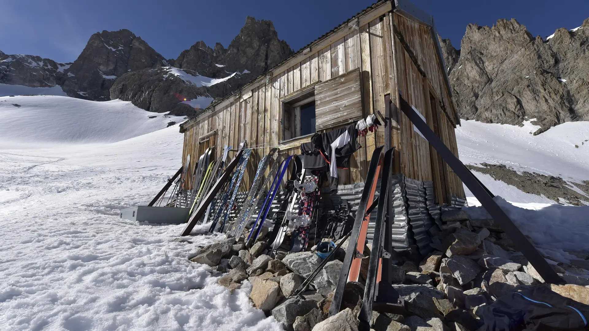
The refuge is the second highest perched in the Ecrins massif.
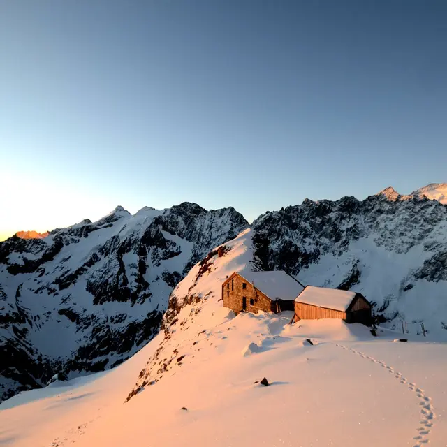
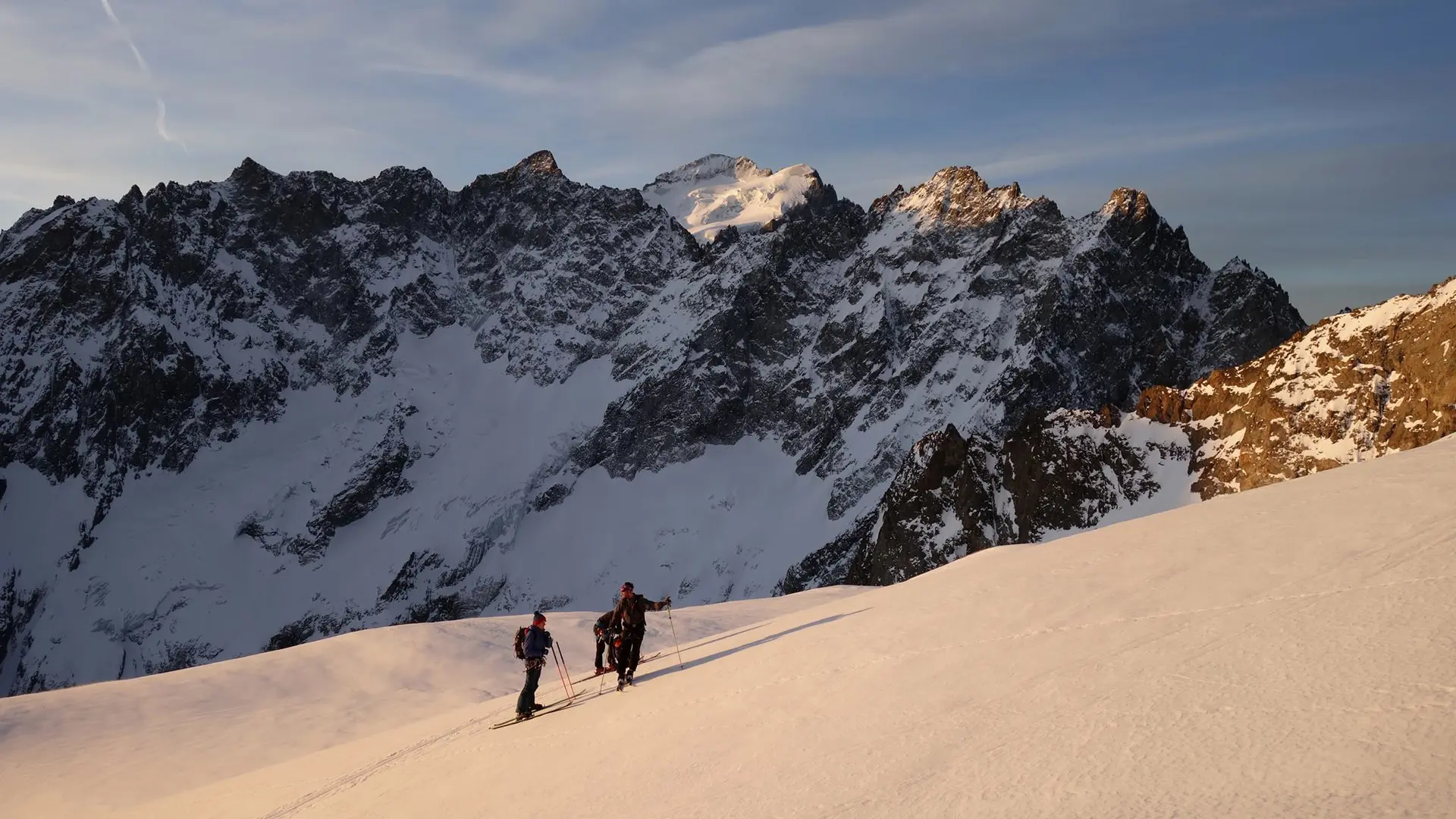
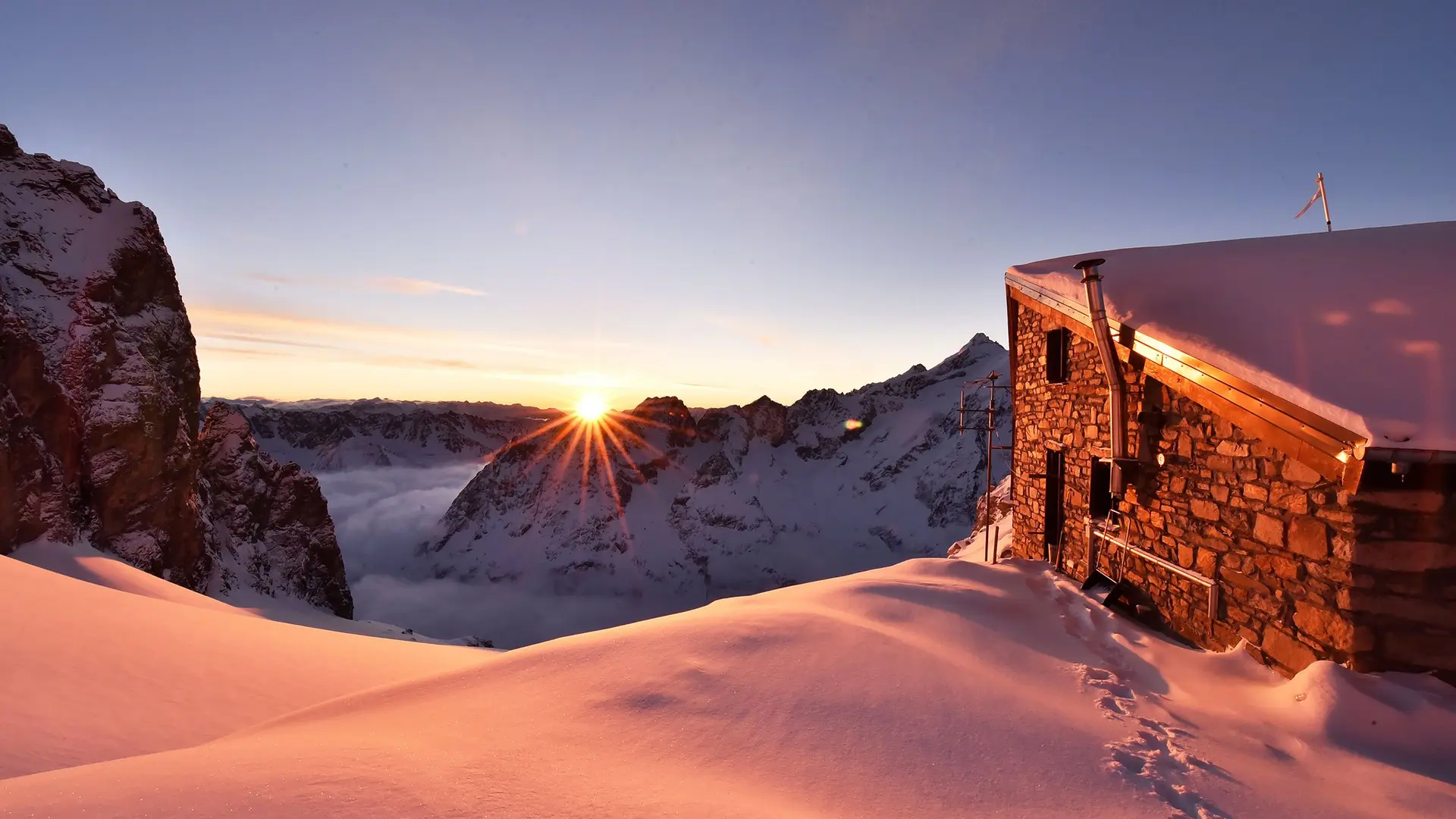
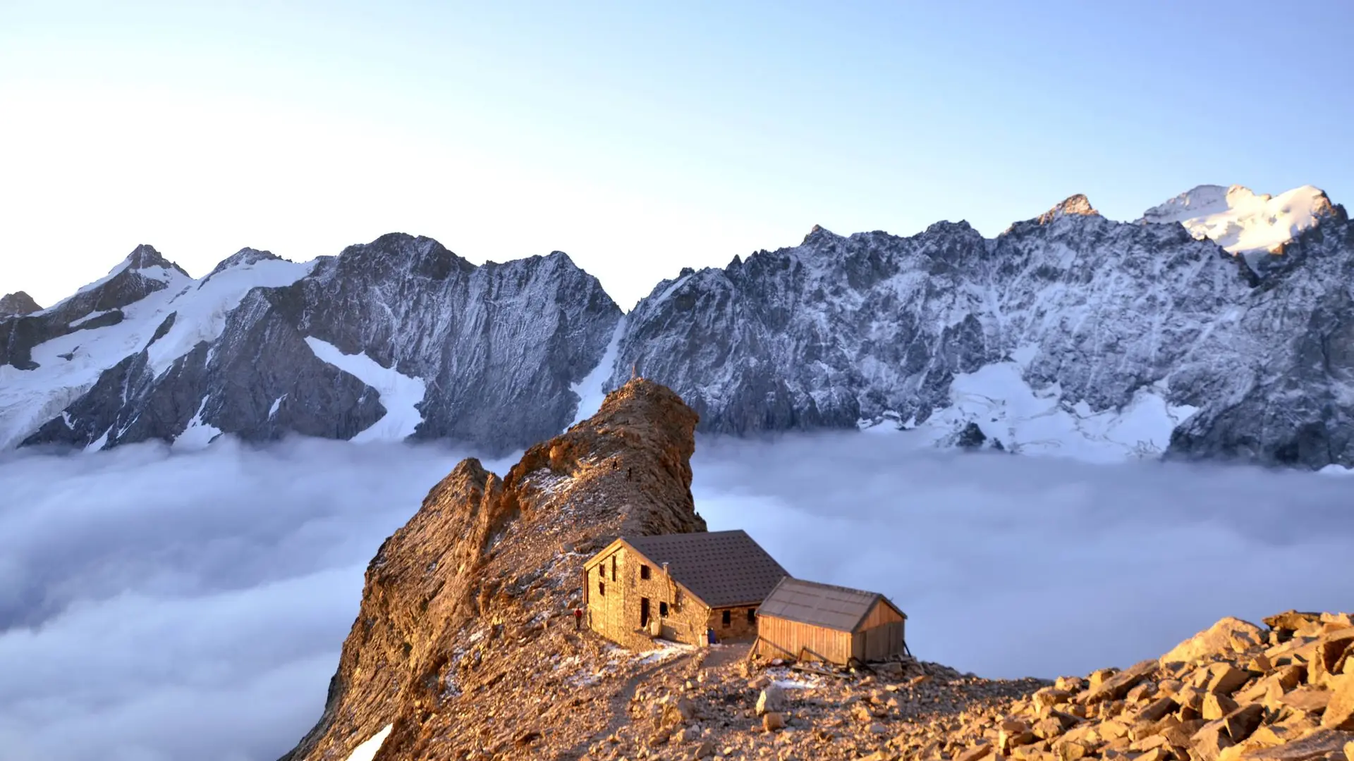
Located in the Massif des Ecrins, Groupe de la Grande Ruine in the Briançonnais, this refuge is a lookout point over the Barre des Ecrins. When you arrive, you'll discover the world of high mountains.
From the refuge, you'll have a beautiful view of the succession of Pic de Neige Cordier peaks, all the way to La Roche Méane at 3765 m (Pointe Breevort).
Access from the foot of the Col (5h) on a signposted path. No technical equipment required in summer.
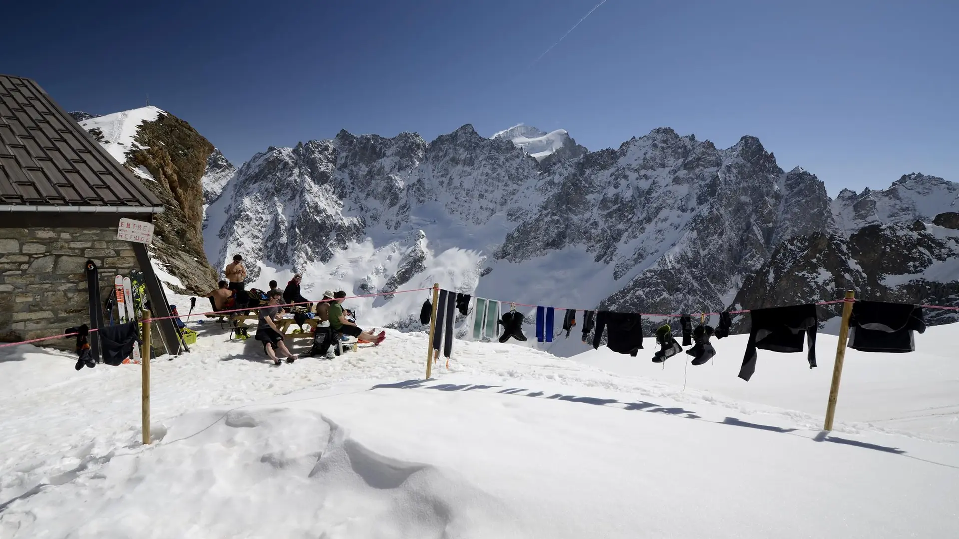
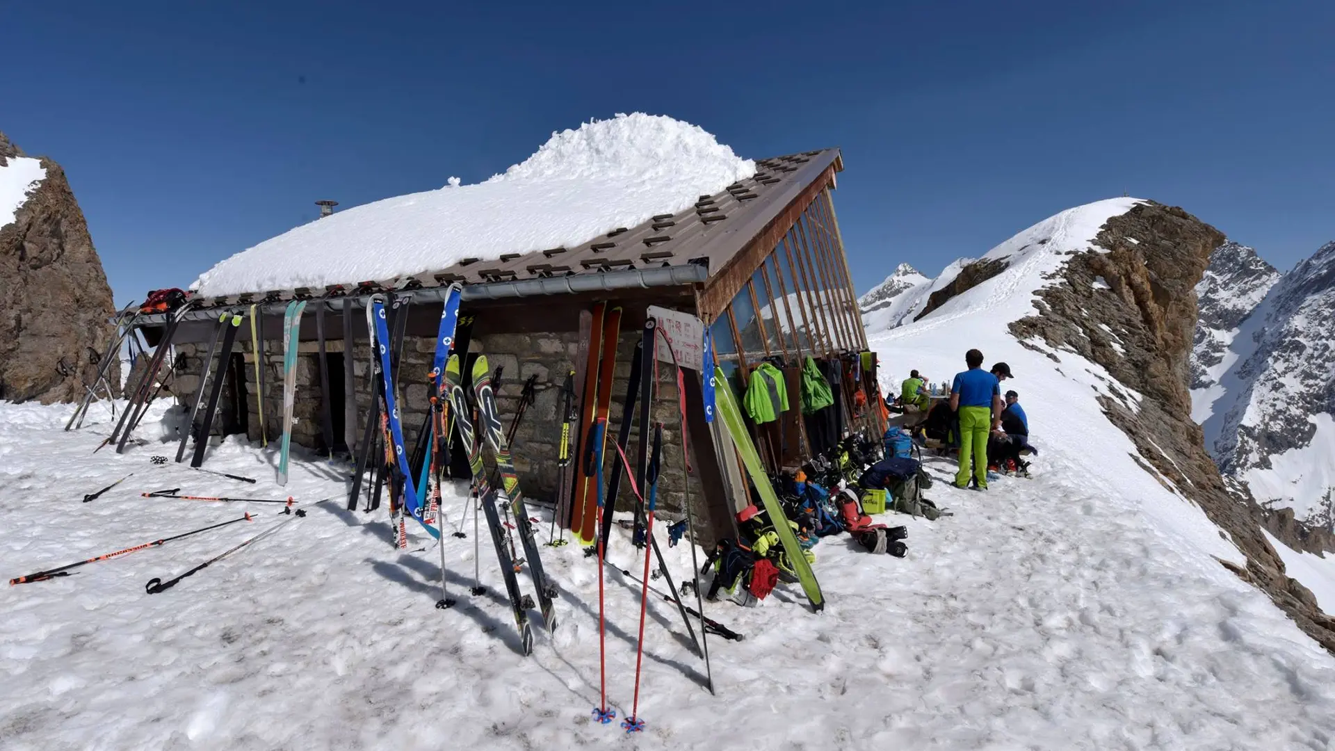
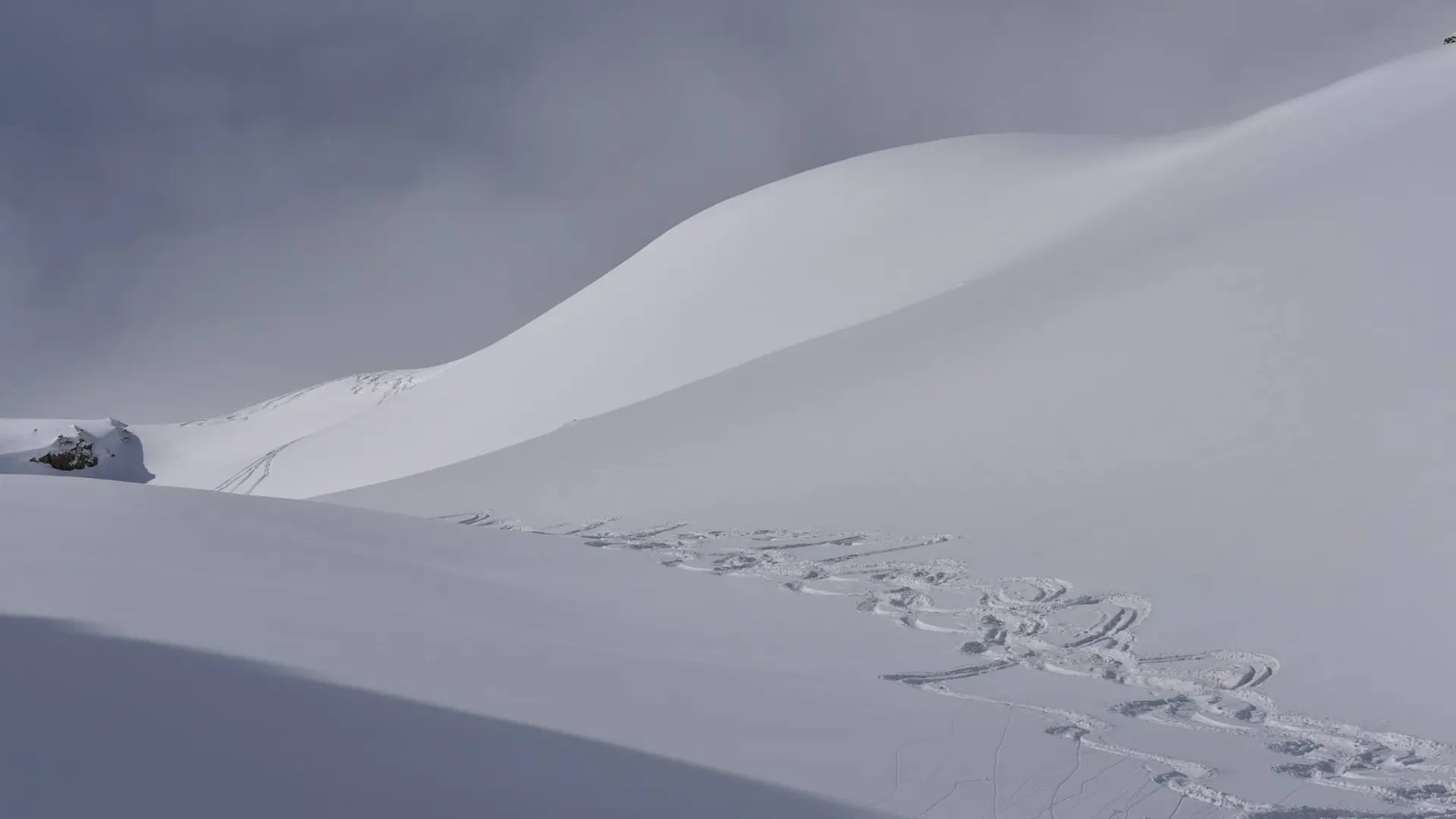
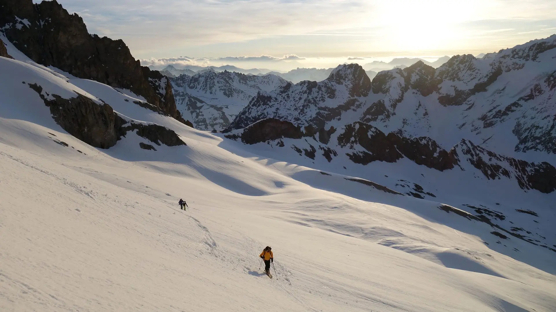
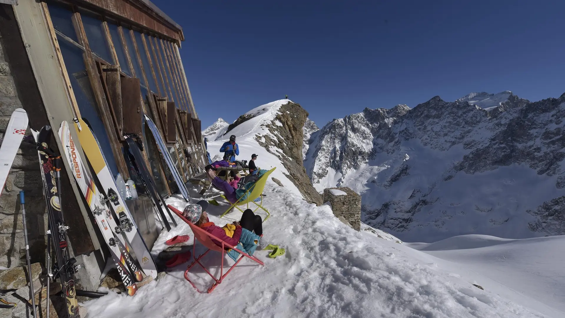
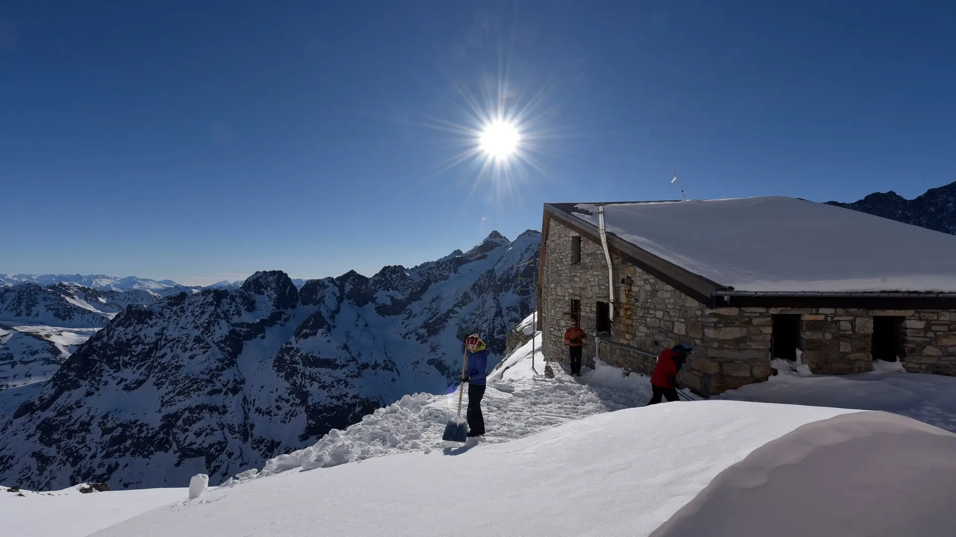
In spring, the refuge is also kept for the ski touring season, as the first stage of the Tour de la Meije, or for the ascent of the Grande Ruine!
Reservations required during guarding period, 53 places - common room, dormitories, WC (Winter 26 places off guarding) - room and dormitory access 5h from the Pied du Col hamlet (1500m vertical drop) In a pasture medium mountain facing the mountains of Les Agneaux and Roche Méane to the source of the Romanche then the path up towards the Grande Ruine to the refuge
S.T.D.-Mountain Refuge
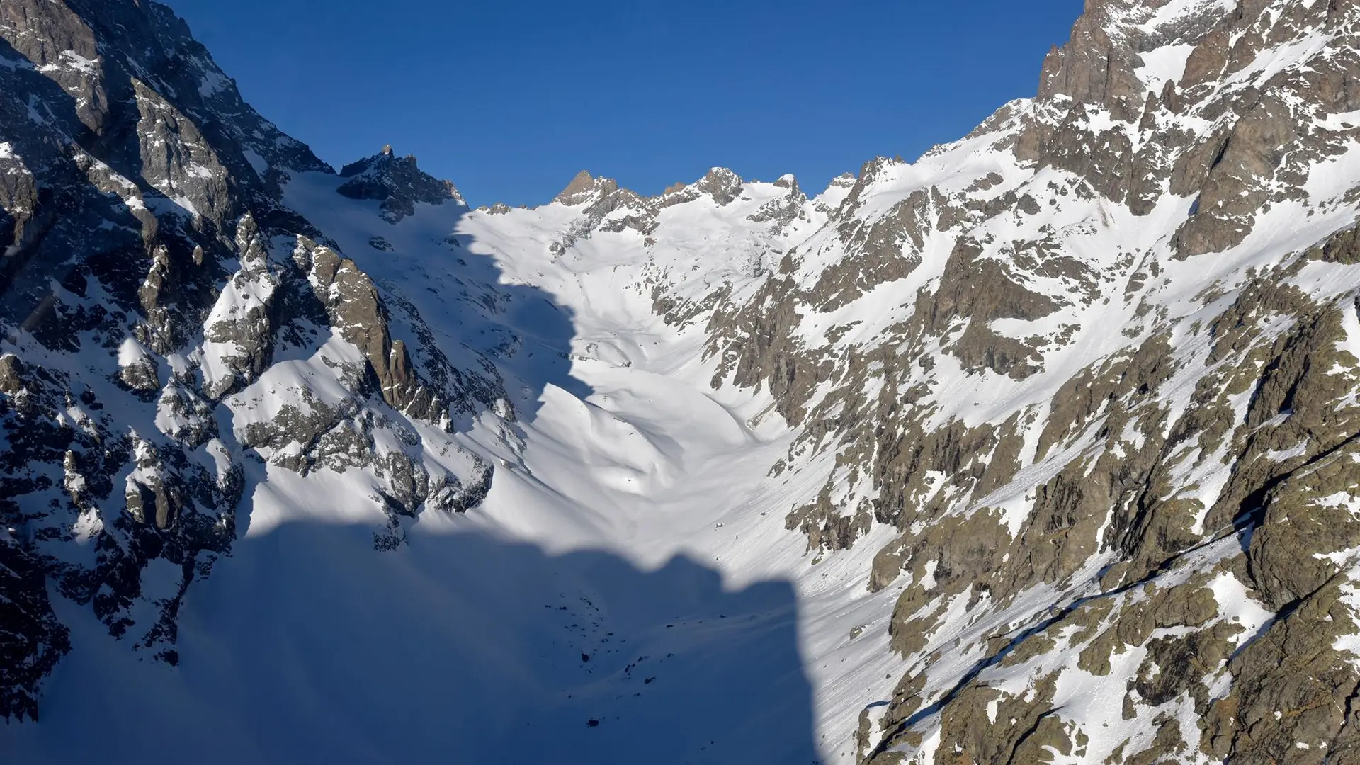
From the Pont d'Arsine (in Arsine, just after Villar-d'Arêne) follow the marked trail that goes back through the Romanche on the left bank. It winds through alpine fields to the sources de La Romanche, then join the moraine of the glacier of La Plate of les Agneaux. The refuge will then appear above you.
This hike through meadows at first then in high mountain, can be done without technical equipment when snowfields have melted. It takes about 5h to 6h