velo-turini-alpes-mmolle-1.jpg
The mythical passes of Southern Alps

Southern Alps Passes

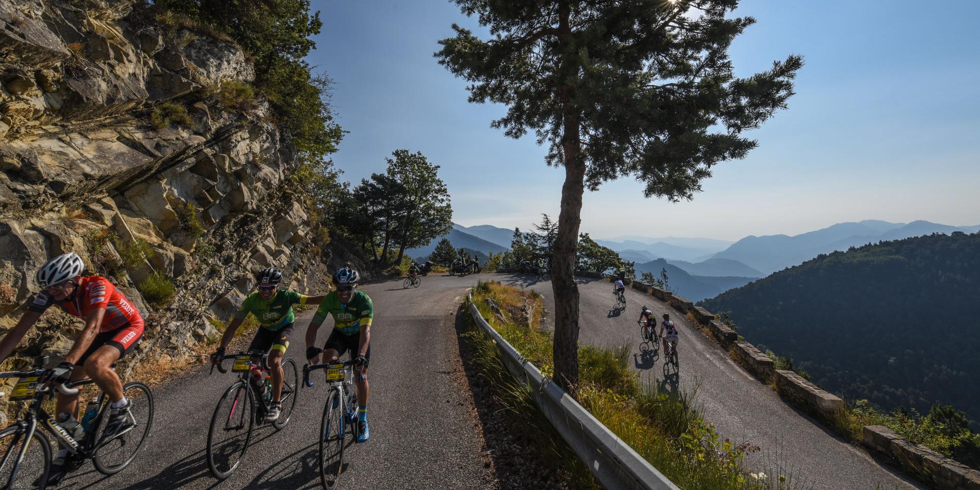
The Provence-Alpes-Côte d’Azur region is a favored destination for cycling enthusiasts, with several legendary mountain passes made famous by the Tour de France. Fans of the “little queen” (a term for bicycles) embark on these winding routes as soon as spring arrives and the roads open, combining the joy of physical effort with the wonder of their eyes beholding splendid landscapes.


Voir cette publication sur Instagram


Une publication partagée par ❄ Ubaye Vallée ☀️ (@ubaye_vallee_france) le

The col de la Bonette (Bonette Pass)

Peaking at 2,715 meters, the col de la Bonette ensures the junction between the Ubaye and Tinée valleys. Once you reach the top of your ascent, a slight detour is possible to the summit of La Bonette, which offers with its 2,860 meters of altitude a unique panorama of the Southern Alps, the Mercantour and the highest mountains of the Écrins massif. Several fortifications remind us of the strategic interest of this territory that once separated France from Italy, and bring an additional tourist interest.
Bonette Pass

The col de l’Izoard (Izoard Pass)

A mythical stage of the Tour de France, but also a highlight of the Embrunman, one of the most difficult triathlons in the world, the Col de l’Izoard is particularly impressive with an altitude of 2,361 meters. From Briançon, count 1,141 meters of difference in altitude and 20 kilometers. From the Gorges du Guil, 1,095 meters of vertical drop and 16 kilometers of ascent await seasoned cyclists. The last kilometers, on the Queyras side, are certainly the most impressive, in the remarkable landscapes of the Casse Déserte.

Izoard Pass


Voir cette publication sur Instagram


Une publication partagée par V@lou🤗 Dreux (@dreuxvalou) le


Voir cette publication sur Instagram


Une publication partagée par Lucie (@lucietru) le

The col du Lautaret (Lautaret Pass)

Linking the Guisane and Romanche valleys, the Lautaret pass culminates at 2,058 meters of altitude. You can challenge this mythical pass of the Tour de France by bike from the town of Briançon, with a difference in altitude of 853 meters and a distance of 28 kilometers. Enjoy the sumptuous landscapes of the Écrins National Natural Park but don’t forget the sporting feat that the ascent of this pass by bike represents: the last section is the steepest, requiring cyclists to have some physical preparation.

Lautaret Pass

The col de Vars (Vars Pass)

Between the departments of Hautes-Alpes and Alpes-Maritimes, the Col de Vars connects the Ubaye valley with Queyras and Embrunais. Starting from Guillestre, a 1,111 meters difference in altitude awaits the cyclists, for an average slope of 5.73%. From Les Gleizolles, in the Ubaye region, cycling enthusiasts have to face 800 meters of difference in altitude for a 5.66% slope.

Vars Pass

The col de la Cayolle (La Cayolle Pass)

At an altitude of 2,326 meters, the Col de la Cayolle provides a communication route between the departments of Alpes-Maritimes and Alpes-de-Haute-Provence. The seasoned cyclists, ready to challenge a difference in altitude of more than 1,000 meters, usually start from Barcelonnette in the Ubaye valley, or from Saint Martin d’Entraunes in the Mercantour. The most trained sportsmen can take the circuit of the “Three passes”: passes of Cayolle, Champs and Allos.

La Cayolle Pass

The col Agnel (Agnel Pass)

In Queyras, the Col d’Agnel is located on the border between France and Italy. With an altitude of 2,744 meters, it represents a real challenge for more experienced sportsmen and women. From Guillestre, 42 kilometers of ascent and 1,736 meters of difference in altitude await the most courageous cyclists. In the heart of Queyras, you can admire the citadel of Fort Queyras, an old medieval castle transformed into an impregnable citadel by Vauban. The breathtaking view of the Southern Alps peaks, especially Mount Viso, is a reward appreciated after a sustained effort.

Agnel Pass

The col de Larche (Larche Pass)

In the Mercantour National Natural Park, the Col de Larche culminates at an altitude of 1,991 meters. It separates France from Italy and provides a junction between Ubaye and Piedmont. The road is marked out by fortifications that testify to the strategic role of this communication route. From Les Gleizolles, 682 meters of elevation gain await cyclists. With an average gradient of 4.24%, it is one of the most accessible major Alpine passes and offers a good workout before challenging the most athletic routes.

Larche Pass

Le col d’Allos

Linking the Ubaye valley to the Verdon valley, the Col d’Allos culminates at an altitude of 2,247 meters. From Barcelonnette, more than 1,100 meters of difference in altitude await the cyclists. The fortified town of Colmars is the starting point from the Verdon valley. The Col d’Allos is located on the Route des Grandes Alpes and is part of the circuit of the three passes with La Cayolle’s and Les Champs’. During the summer season, time slots without road traffic are provided to allow cyclists to enjoy a safe ascent by bike: ask the Tourist Office for the next dates.

Allos Pass

The col de la Lombarde (Lombarde Pass)

On the border between France and Italy, it culminates at 2,350 meters and is close to a very popular ski resort. From the village of Isola, the ascent is a real challenge for trained cyclists, with a height difference of 1,477 meters and an average climb of 6.87%. The Tour de France riders have already taken it, to the delight of fans of the “little queen” (petite reine).

Lombarde Pass

The col de Montgenèvre (Montgenèvre pass)

Culminating at an altitude of 1,850 meters, the road is one of the main Alpine communication routes linking France to Italy. A Roman road already facilitated exchanges between Cisalpine Gaul and the territories of “Hairy Gaul” (Gaule chevelue). From La Vachette, it is necessary to count on a difference in altitude of 494 meters over a little less than 8 kilometers. The steep slope, with an average of 6.39%, requires real endurance and sustained effort.

Montgenèvre Pass


Voir cette publication sur Instagram


Une publication partagée par Montgenèvre (@montgenevre) le

The col de Tende (Tende Pass)

Between France and Italy, the Col de Tende culminates at an altitude of 1,871 meters. It is accessible by a track, the road taking a road tunnel located at 1,280 meters above sea level. Military remains still bear witness to the eminently strategic role of this communication route. Mountain bike enthusiasts can take the winding and stony paths that follow the old road before the tunnel was dug at the end of the XIXth century. The village of Tende is the most frequent starting point for this ascent.

Tende Pass

Close