Fort de la Lausette

  • Historic site and monument
  • Fort
  • Military Patrimony
Elevation : 1780m
Hameau du Laus, 05100 Cervières
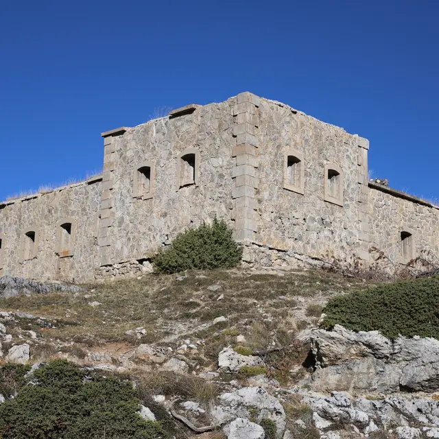
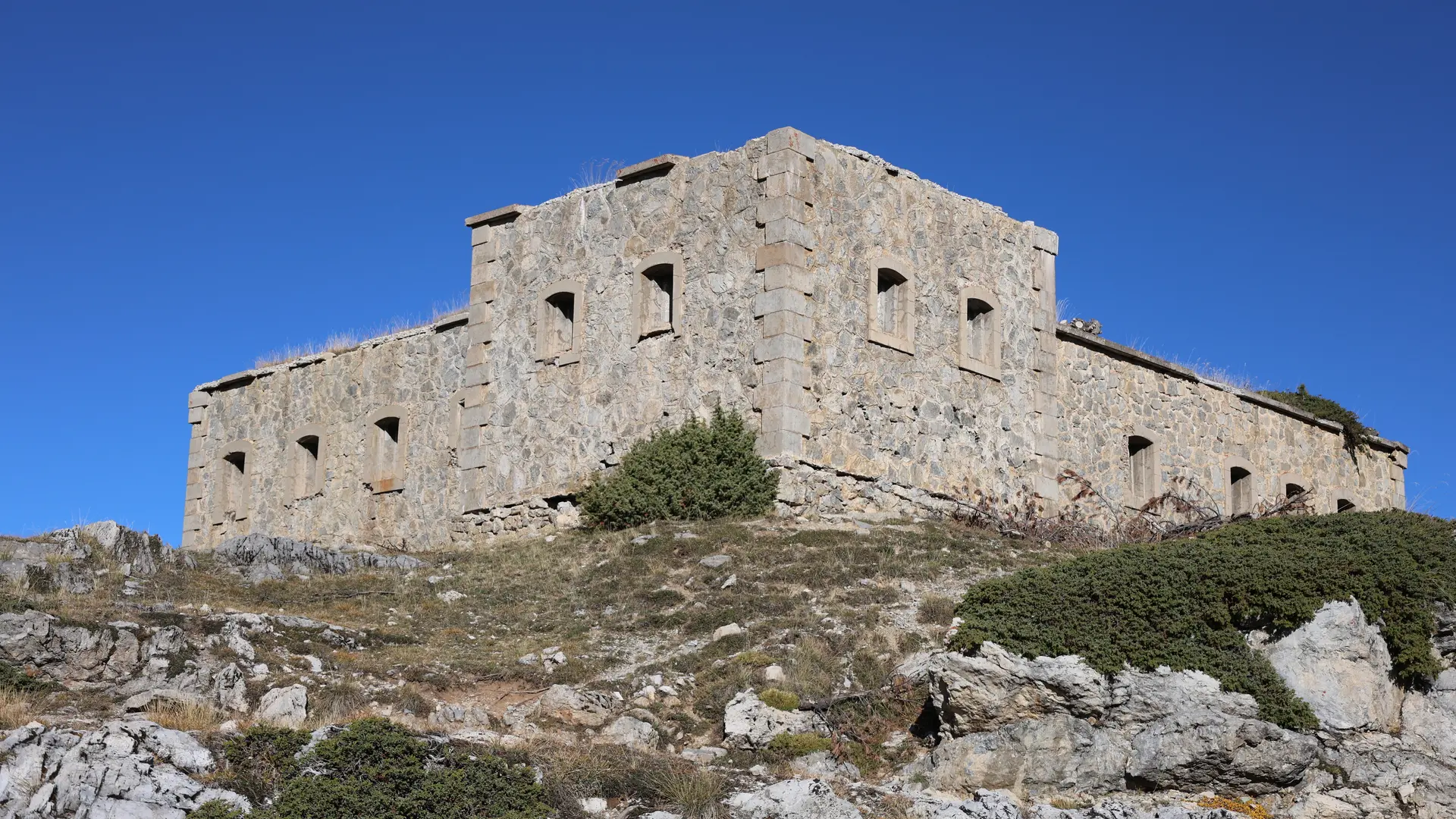
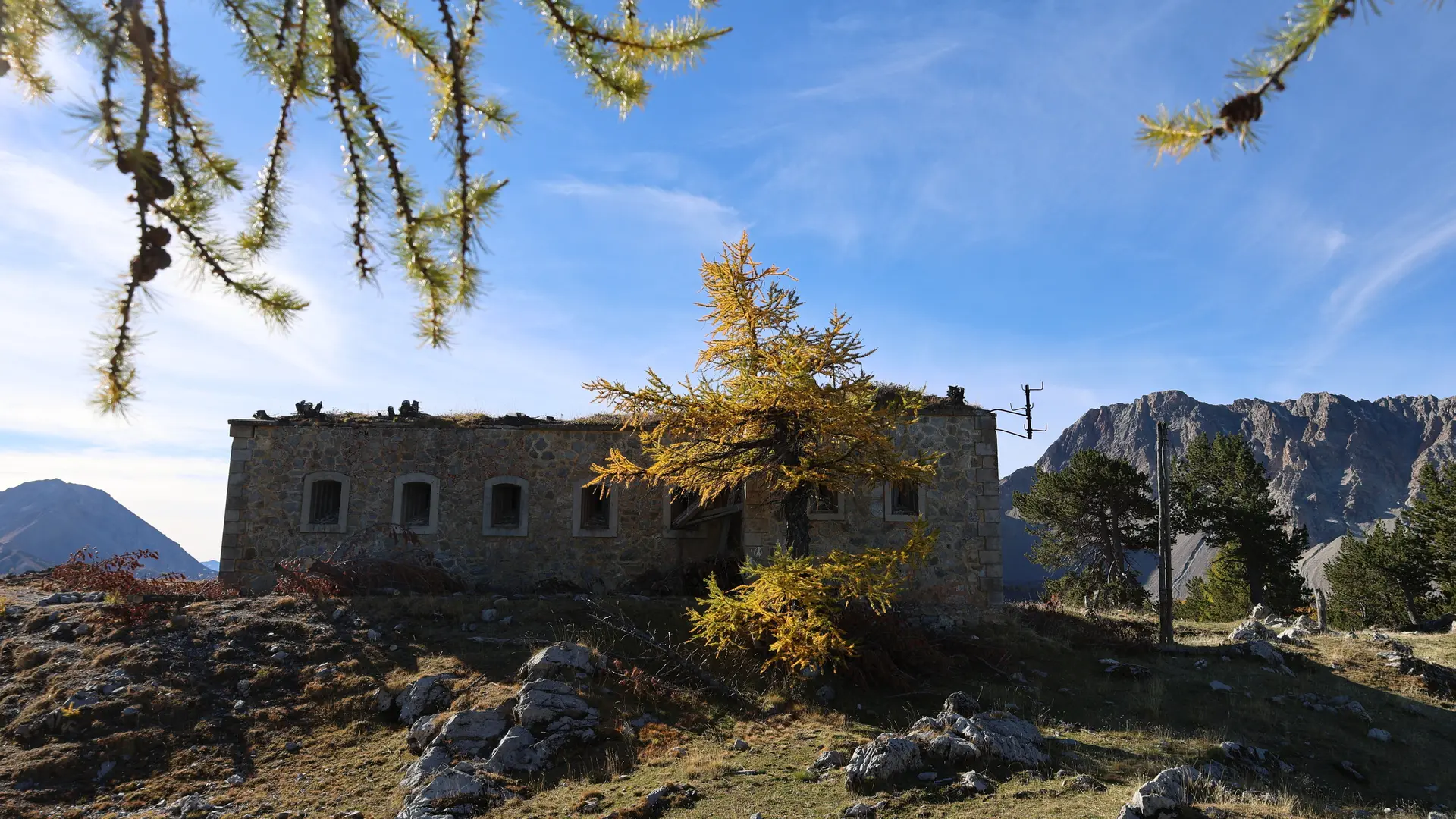
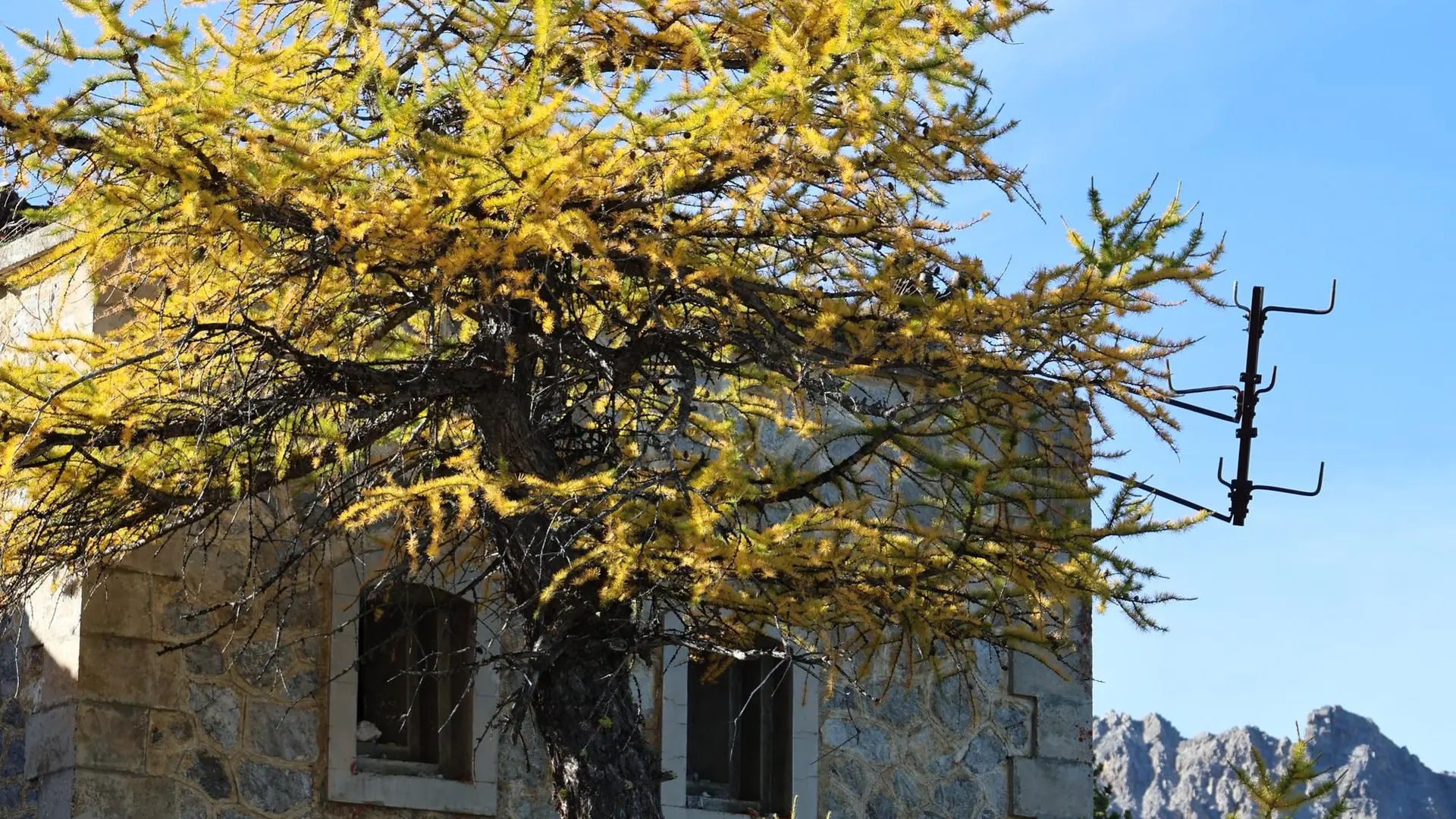
The construction of a road climbing the slopes through the Combe de la Lause ravine over a difference in altitude of more than 800 m was a technical feat that enabled artillery batteries, barracks and a defensive blockhouse to be built as early as 1886.
Difficult hike Map IGN 3536 OT Briançon Yellow markings and arrows

Services

Animals accepted

Accessibility

Not accessible in a wheelchair

Rates

Free access.

Accepted customers

  • Walkers/hikers

Openings

All year 2026 - Open everyday
Depending on snow conditions

Location

Fort de la Lausette
Elevation : 1780m
Hameau du Laus, 05100 Cervières
  • www.hautesvallees.com

Spoken languages

Spoken languages
  • French

Environment

Environment
  • Mountain location

Access

Access
  • IGN TOP25 map 3536 OT
Updated on 18 March 2026 at 10:16
by Office de tourisme des Hautes Vallées - La Grave - La Clarée - L'Izoard
(Offer identifier : 5501481)
Report mistake
Filter search
Page types
  • All
  • Articles
  • Agenda
  • Lists