Le village de Réotier

  • Historic site and monument
  • Historic patrimony
  • Town / Village
Elevation : 1050m
Village, 05600 Réotier
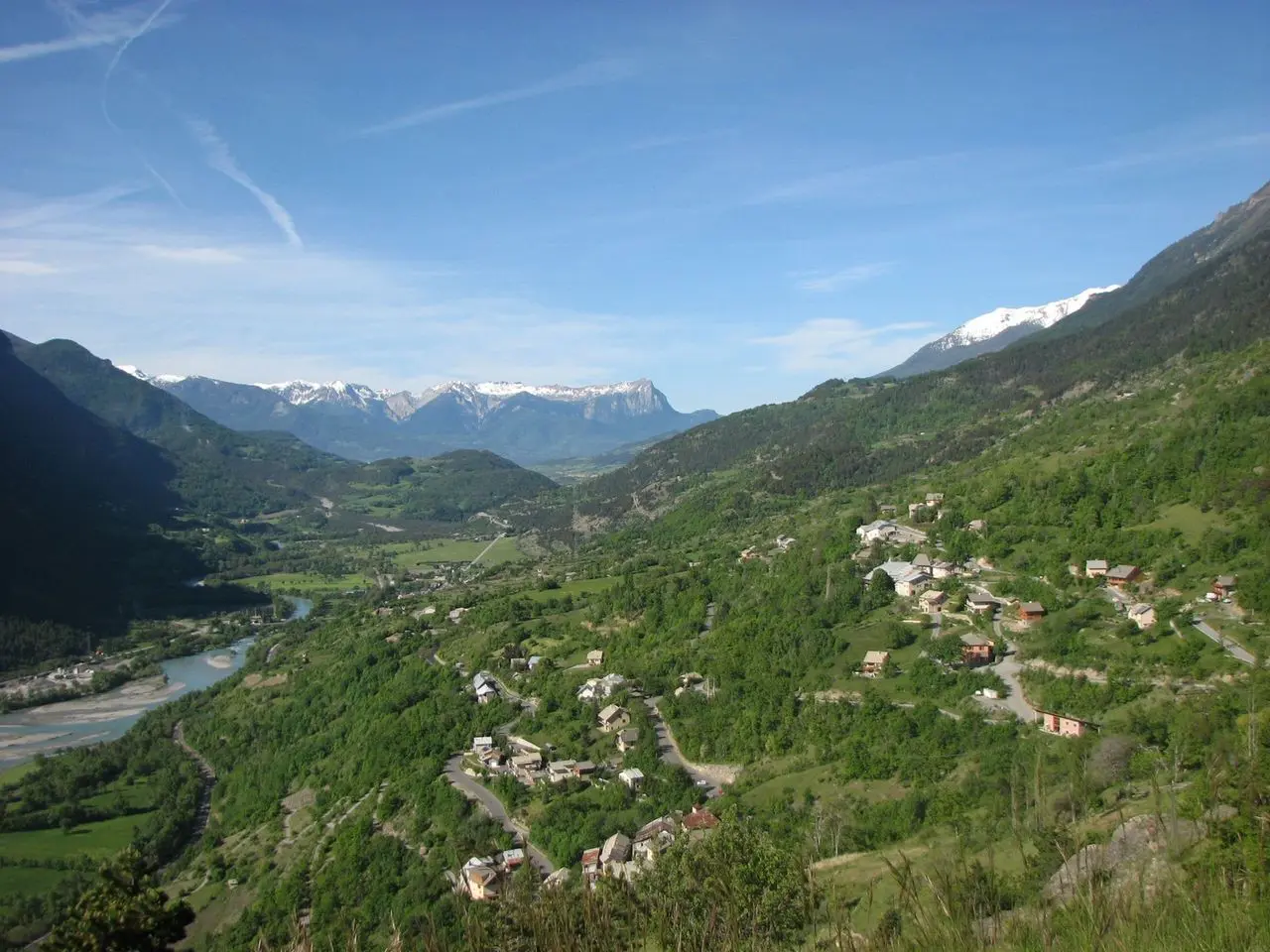
Réotier lies on a sunny mountain with winding roads, where farmers have shaped the landscape with successive terraced cultivation! Altitudes range from 895 m to 3156 m at the Tête de Vautisse.
Réotier boasts a remarkable geological curiosity: the Petrifying Fountain, not to be missed!
A commune of 207 inhabitants spread over fifteen hamlets, none of which bear the name Réotier - like many others in the Hautes Alpes. It's not easy living in a sloping village where the school, town hall and churches are in separate hamlets! In terms of history, Réotier has been frequented at least since Roman times, but unlike the other communes of the Guillestrois, was never part of the mandates of the Archbishop of Embrun. A châtelain appointed by the Dauphin looked after the commune's interests.
Réotier boasts a remarkable geological curiosity: the Petrifying Fountain, not to be missed!
A commune of 207 inhabitants spread over fifteen hamlets, none of which bear the name Réotier - like many others in the Hautes Alpes. It's not easy living in a sloping village where the school, town hall and churches are in separate hamlets! In terms of history, Réotier has been frequented at least since Roman times, but unlike the other communes of the Guillestrois, was never part of the mandates...

Documentation

Documentation

Openings

Openings

All year 2025 - Open everyday

Location

Location

Le village de Réotier
Elevation : 1050m
Village, 05600 Réotier
Updated on 25 November 2024 at 17:13
by Office de tourisme du Guillestrois et du Queyras
(Offer identifier : 501186)