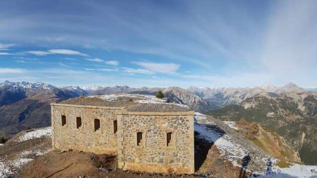
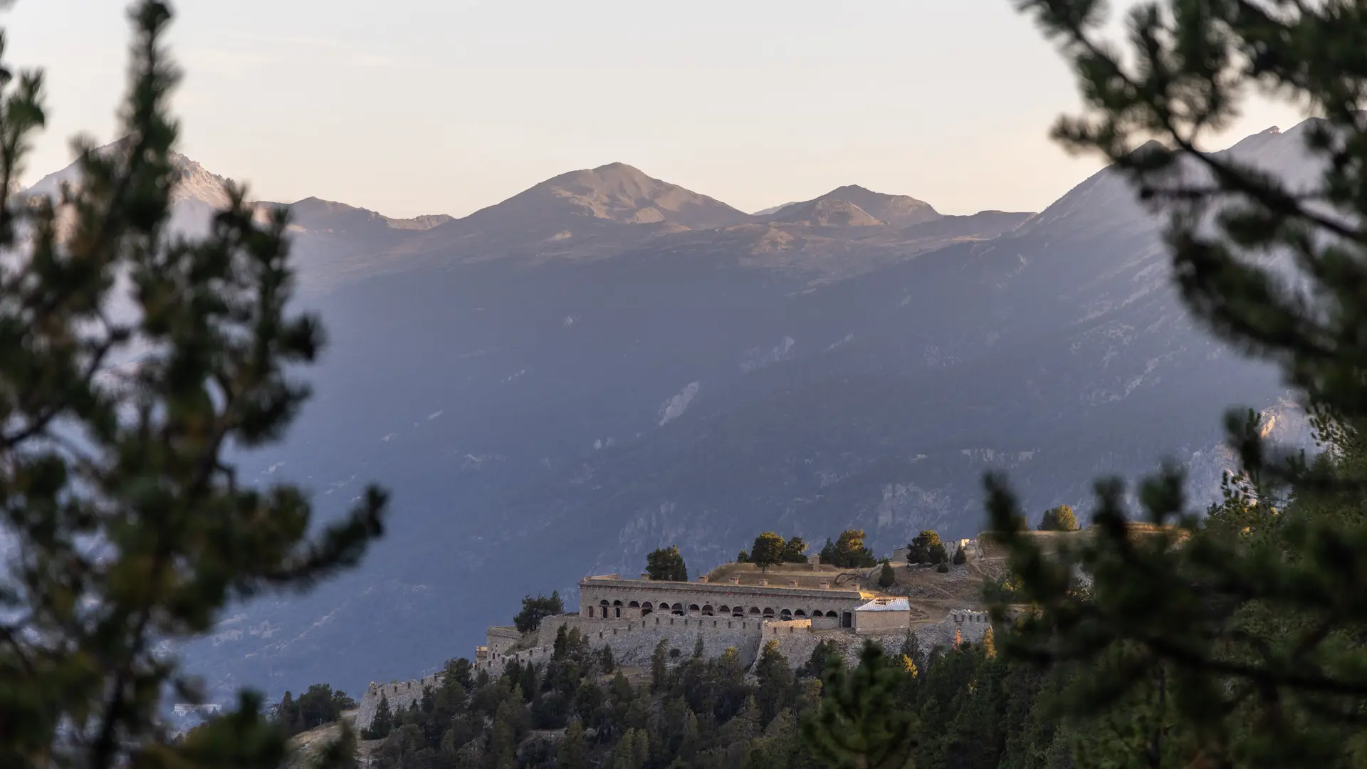
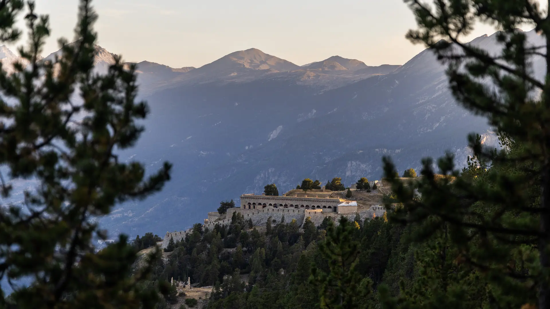
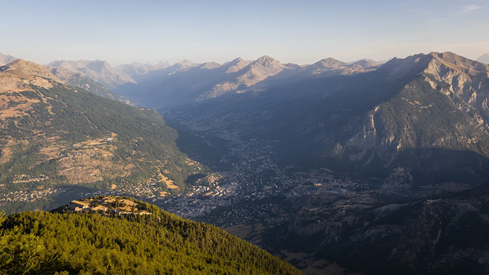
This hike offers a fascinating panorama on arrival between the viewpoint and the Fort, an idyllic setting.
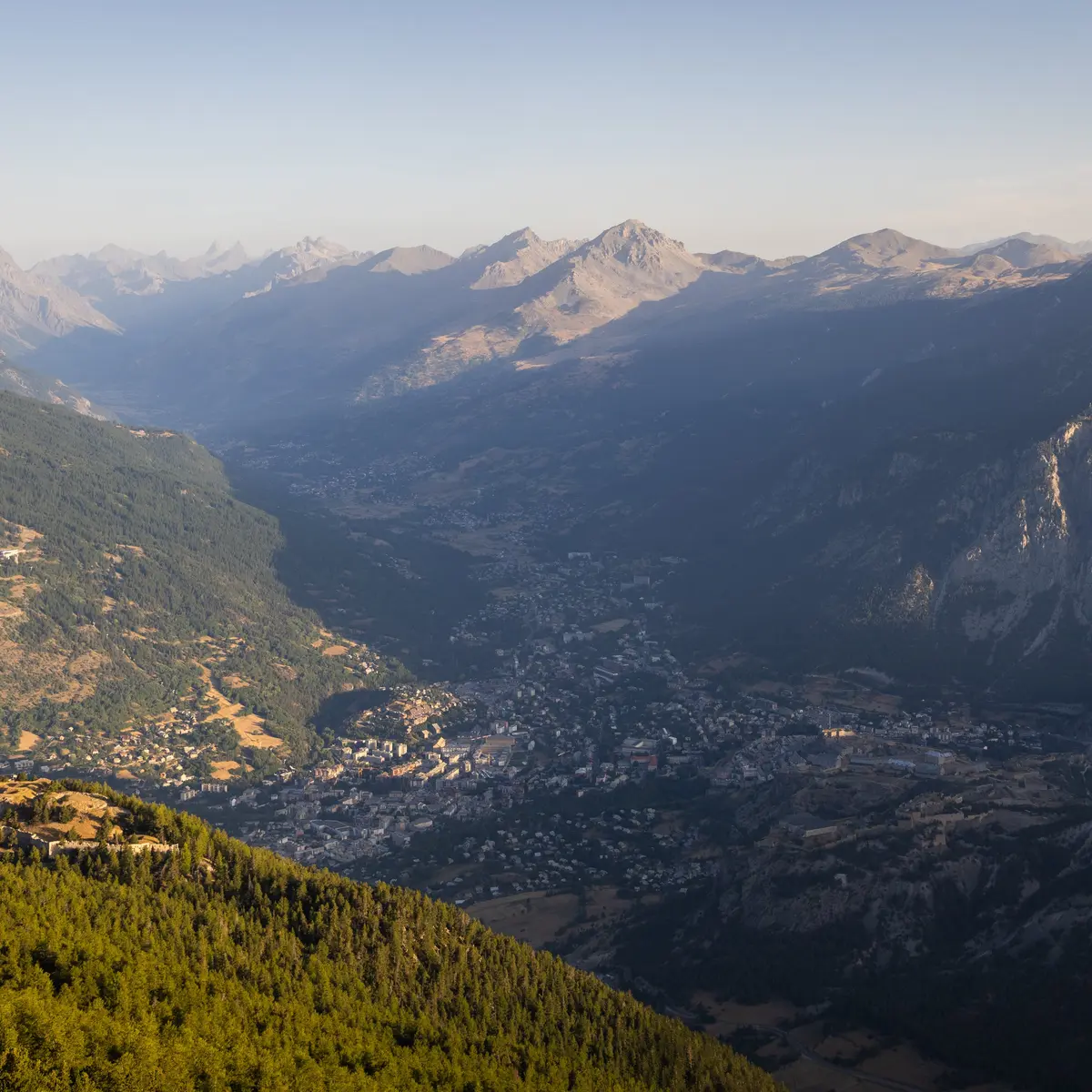
From the heights, you can see the Ecrins massif, Italy and the Queyras. We've seen forts like La Lausette.
From the heights, you can see the Ecrins massif, Italy and the Queyras. We've seen forts like La Lausette.
It's a lovely walk to a fort that had defensive functions following France's defeat by Prussia.
At the start of the village of Villar-Saint-Pancrace, follow the signs for "rue du Mélézins".
At the yellow sign, take the path towards "forêt des Mélèzes", which leads to the "La Croix de Bretagne" fort.
After the "La Croix de Bretagne" fort, take the old military track.
Continue along the track to Fort de la Grande Maye.
On the way back down, take the military road at Fort de la Croix de Bretagne.
Difficulty: medium
Duration: 9h20
Departure altitude: 1268 m
Finish altitude: 2408 m
Ascent: +1152 m
Negative altitude difference: -1146 m
Distance: 21 km
GPS point departure/arrival: N44.877022° E6.634721°
IGN map: REF 3536OT