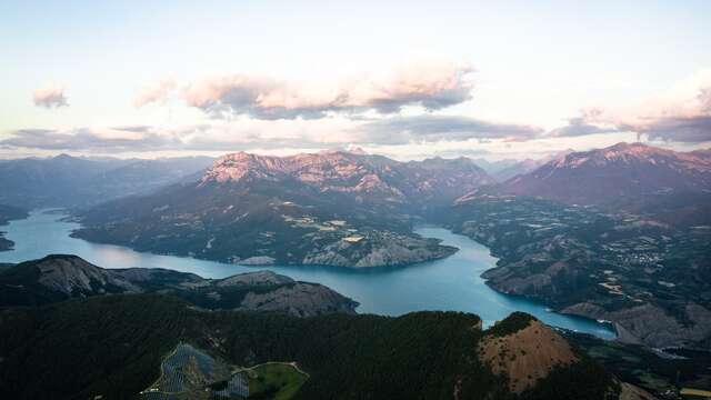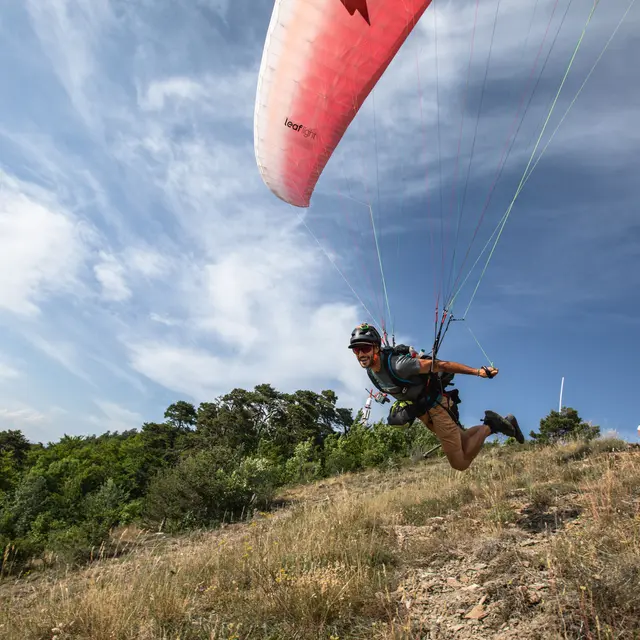


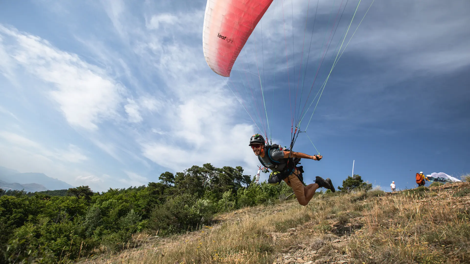

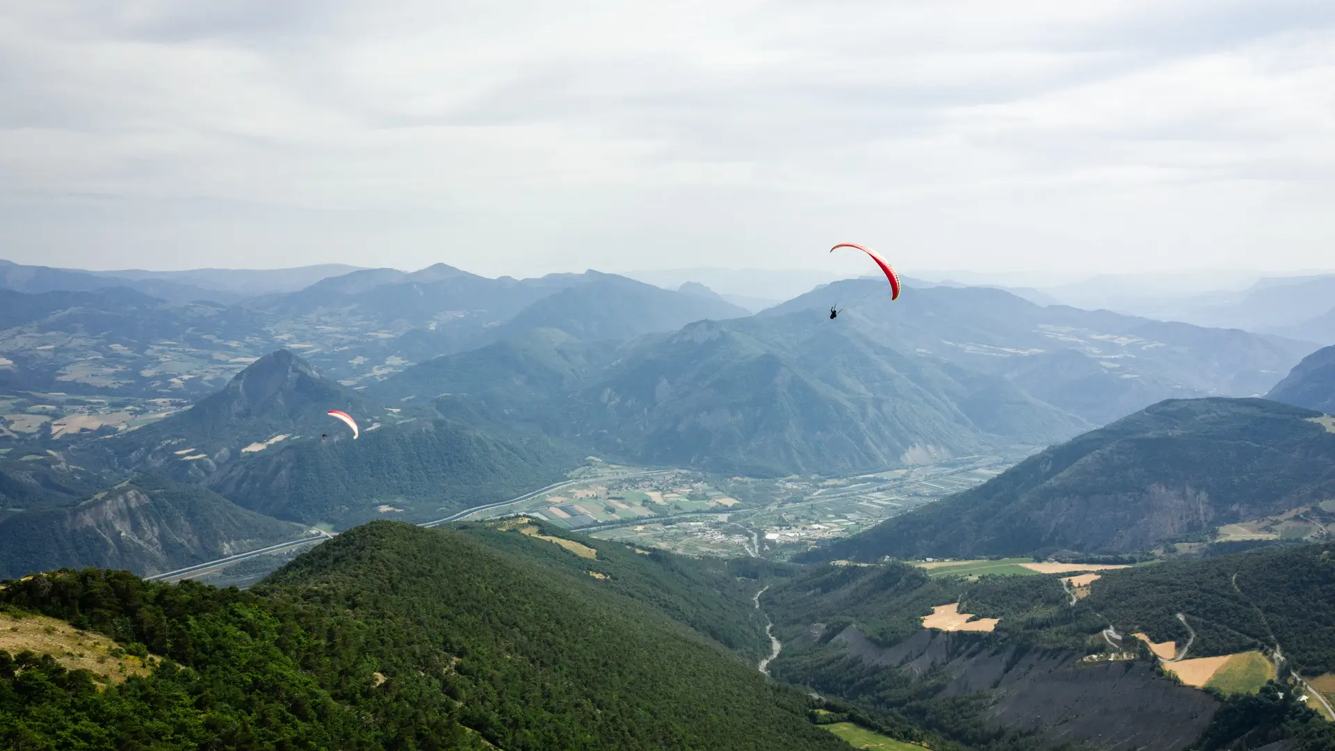
Paragliding and hang gliding site with FFVL certification. Very beautiful site of takeoff near Gap and the lake of Serre-Ponçon. Unique panorama on the lake of Serre-Ponçon, the Gapençais, the Durance Valley. Level 1-2.
How to get to the take-off - Alt. 1 710 m
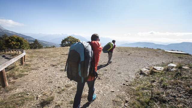
Take the D53 on your right towards Théus. Go through the village and continue on the D53. On the way, if you wish, you will have the opportunity to stop at a roadside area to observe a natural erosion: "la Salle du Bal des Demoiselles Coiffées". Continue on, then turn right at the first crossroads and right again at the second crossroads (the direction of Colombis will be indicated). Be careful on the road, it is narrow at times). On the way up, you will see the take-off point to the right of the large relay antenna. The tarmac road ends in a dead end at a viewpoint table. It is best to park your car on the side of the road near the antenna. Approximately 70m below the antenna, you will find a small path that will take you to the launch site in less than 5 minutes on foot. You may have to cross an electrified animal fence. Remember to put it back in place after you pass.
How to get to the landing - Alt. 660 m
To get to the site from Gap, take the D.900B towards Remollon or Espinasses. For those who know, this is the same road as the one used to go to St Vincent les Forts. It is preferable to go to the landing before going up to the take-off. To do this, continue on the D.900B and turn right on the long straight stretch 500m before entering Espinasses (there is only one small junction on this road before the village entrance).
Just before the water treatment plant, turn right onto the dirt road for 300m and the windsock will indicate the landing. Since the beginning of 2010, the landing has been cut in half by the presence of a new bike-cross course: for beginners, if you are not precise on the landing, it is better to abstain or ask to be supervised by radio, especially if the surrounding fields are cultivated.
The site's advantages:
- The superb panorama which is worth the diversions even if it doesn't fly (magnificent view of the Serre-Ponçon lake, Céüze, Tallard, etc...).
- The forest you pass through before arriving at the take-off is a magnificent picnic spot for the family.
- The access to the site which is by tarmac road (although the turnaround is a bit long - allow 35 minutes to get up to the launch from the landing).
- The difference in altitude (just over 1000 metres).
- Site can be used from morning to evening.
Complementary welcome: beware of the North wind straightened by the thermal at take-off. Favourable by slope breeze, very good thermal conditions.