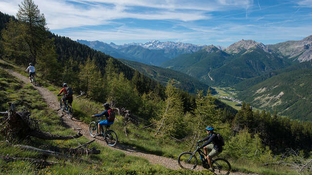
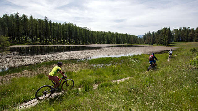
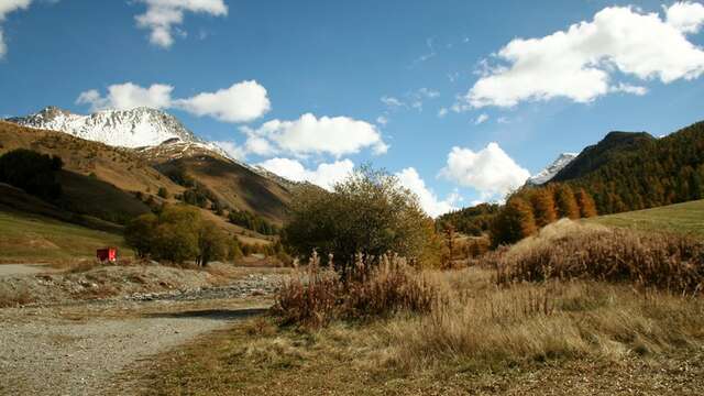
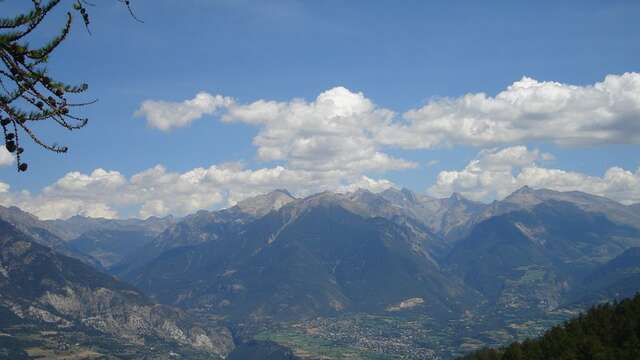
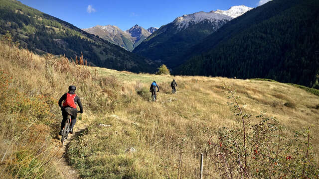
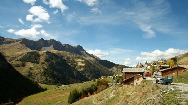
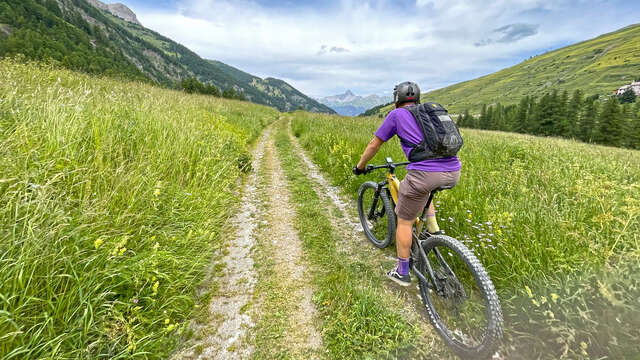
A varied and challenging route to discover the villages of the Guillestrois region.
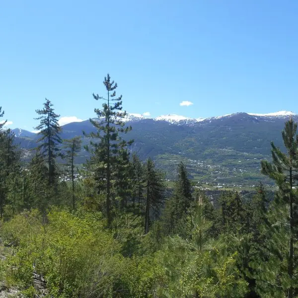
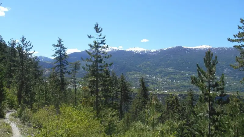
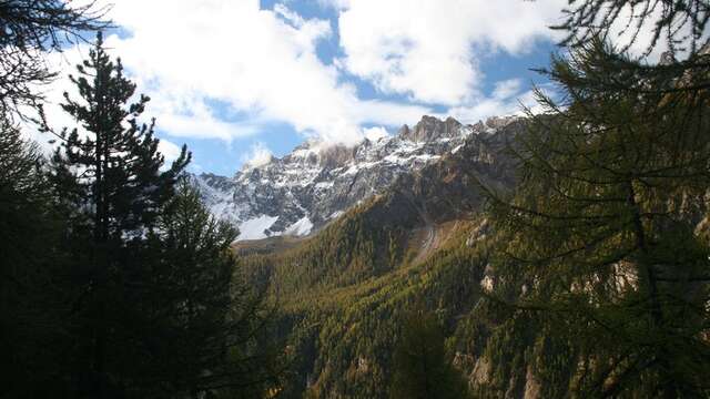
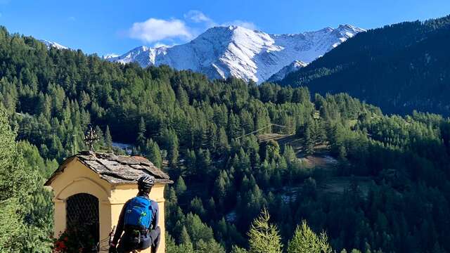
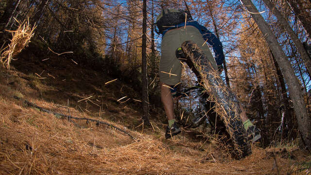
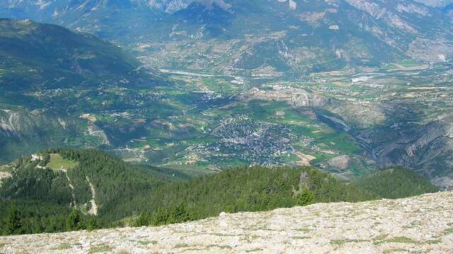
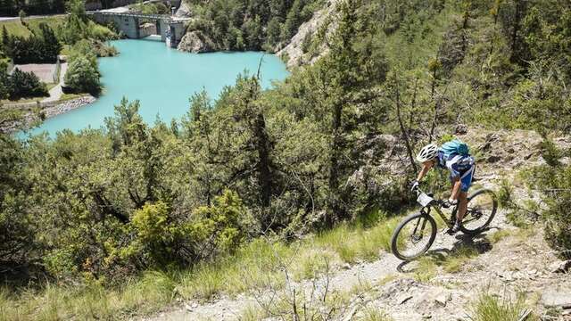
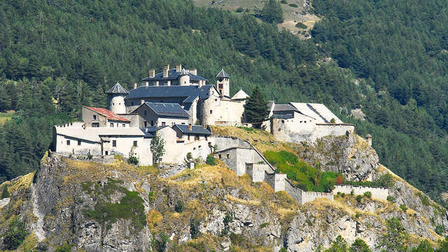
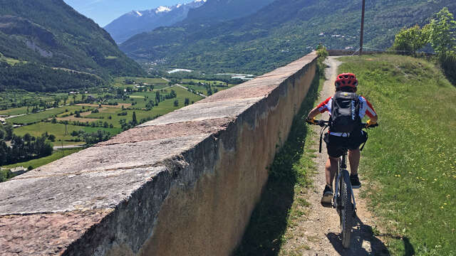
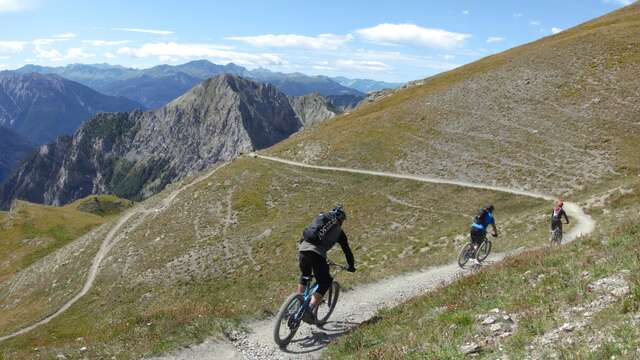
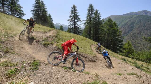
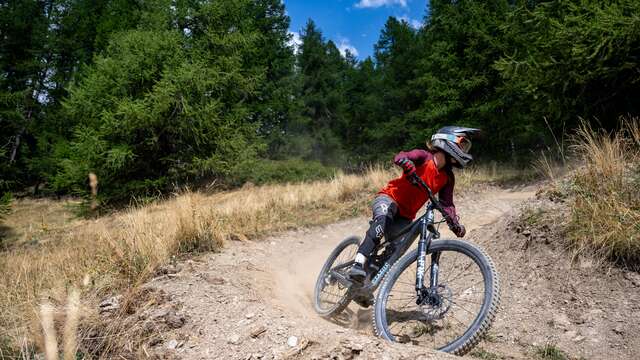
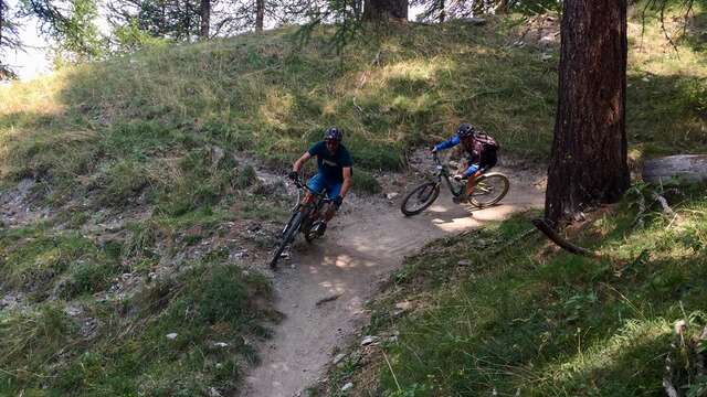
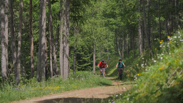
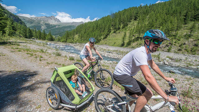
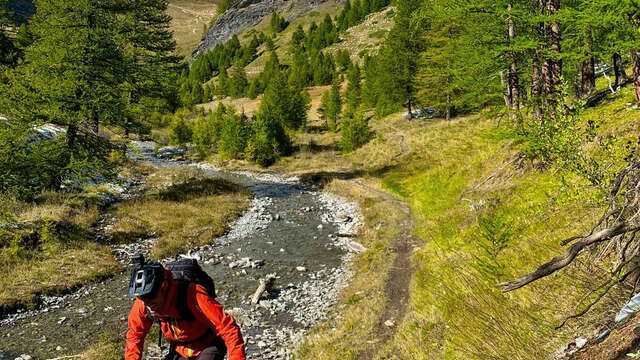
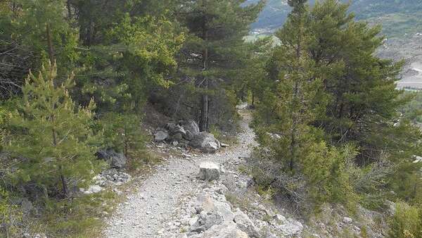
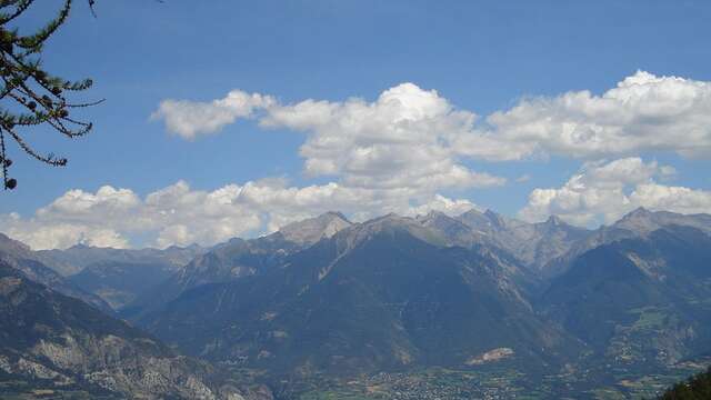
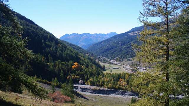
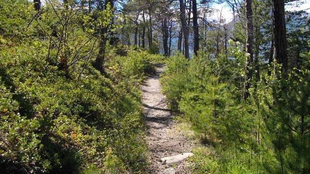
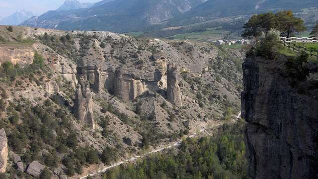
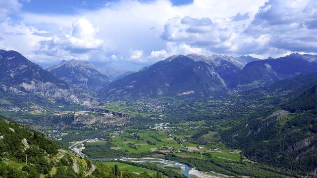
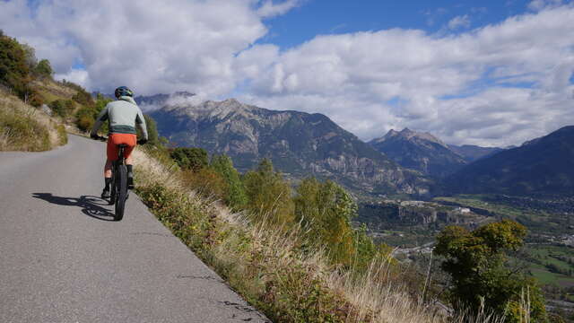
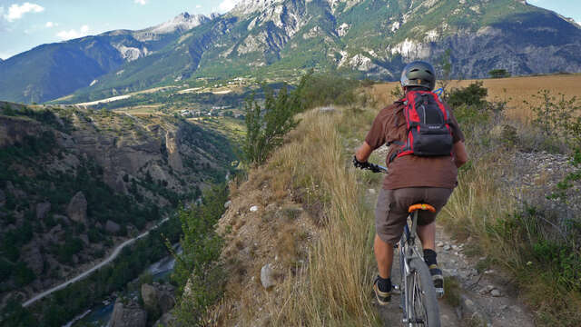
After a gentle warm-up from the airfield on rolling sections, the trail twists and turns to reveal a breathtaking view of the Durance valley and the stronghold of Mont-Dauphin. Then there's a feast of twists and turns to entertain your descent, while passing pretty hamlets overlooking Eygliers. A twenty-kilometer circuit, not to be done on a first outing if you don't want to break your legs!
There are two possible departure points for this itinerary: from the St Crépin airfield parking lot, or from the Eygliers leisure center.
For the detailed route from St Crépin, download it (pdf) in the documentation tab below.