See photos (9)

3 - From Jonquières to the Via Venaissia

Sport, Cycling sports, Cycle tourism route in Jonquières
Unresolved hours
25.7 km
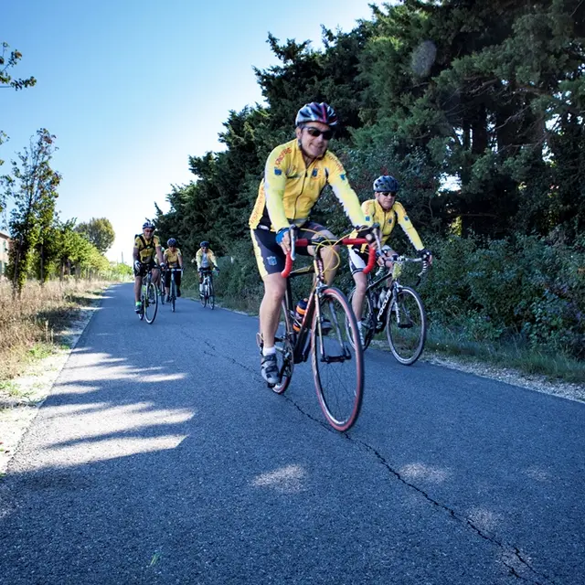
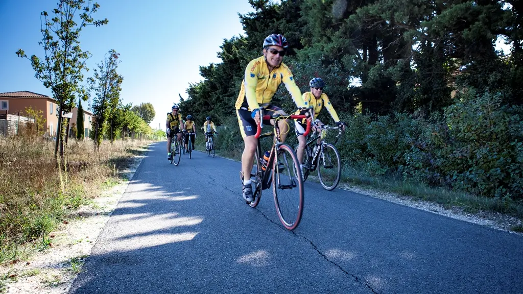
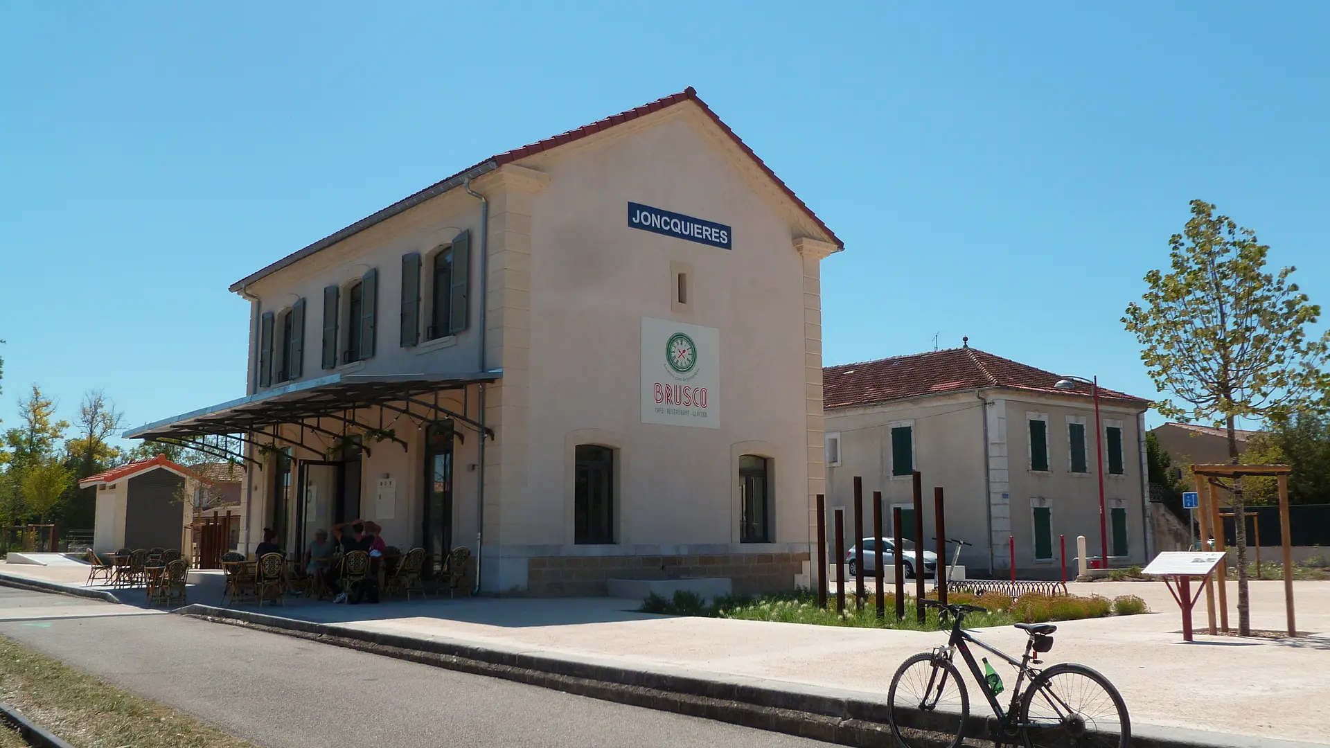
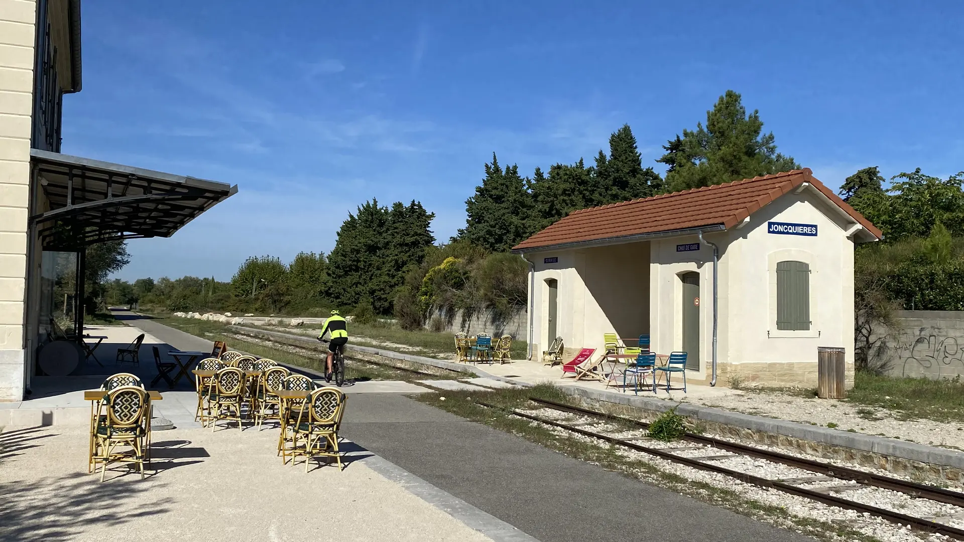
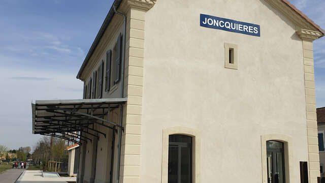
  • Distance: 26 km - Duration: 2 hrs 15 mins - Parking: Jonquières station
    Easy - Signposted.

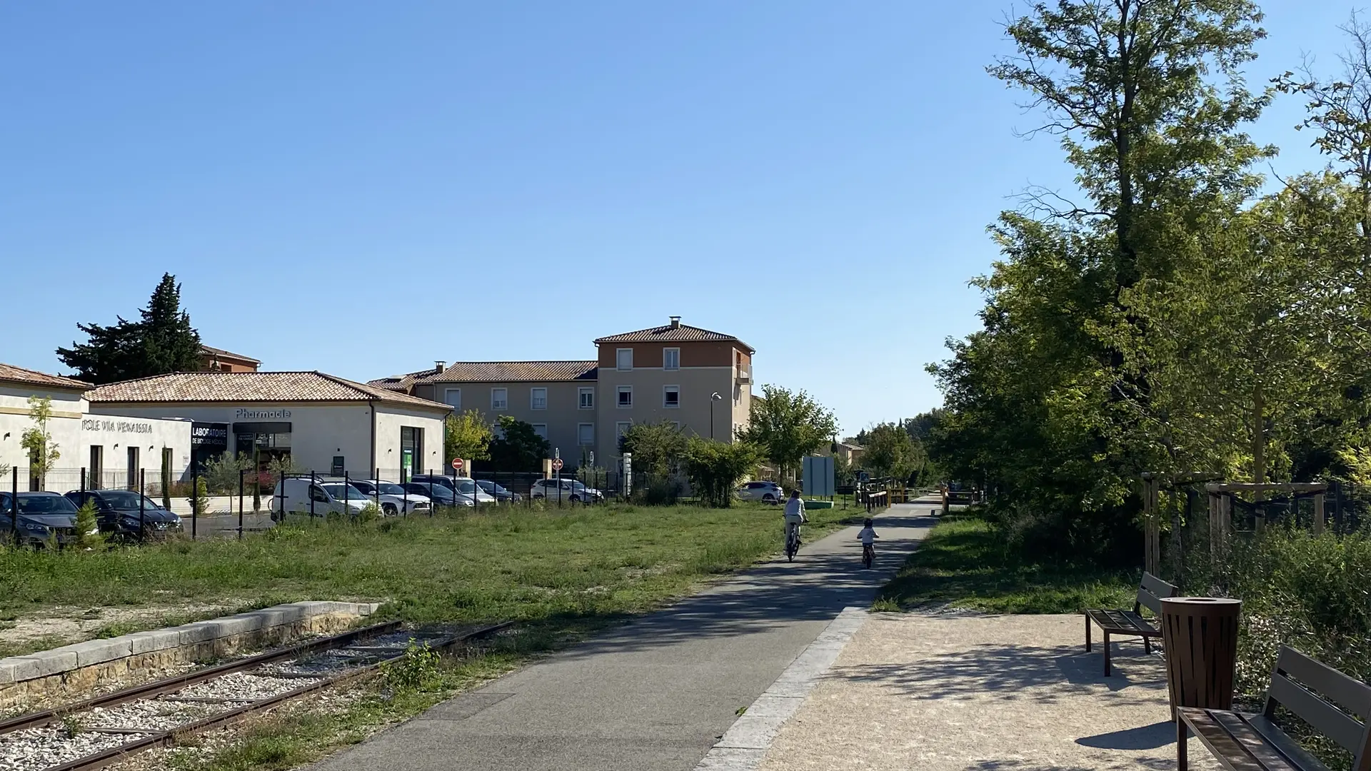
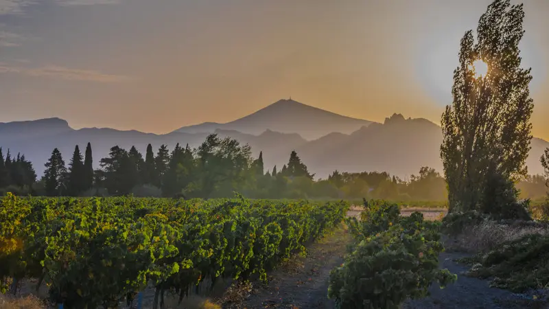
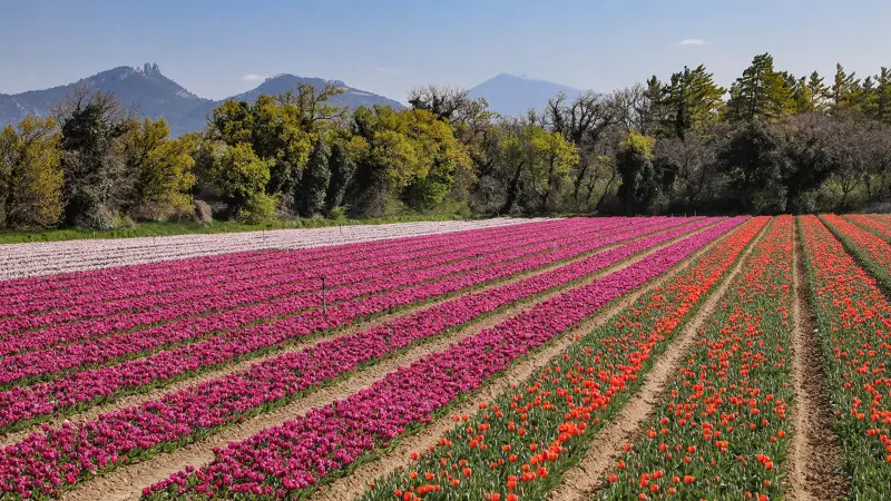
  • Ride your bike along a trail accessible to all and set off to explore the Ouvèze plain, blending landscapes of vineyards and cereal crops. All along the trail around Jonquières you will enjoy a breathtaking view of the cliffs of the Dentelles de Montmirail and Mont Ventoux!
    Pick up the trail brochure from one of the local Tourist Offices or download it from our website.
79 meters of difference in height
Created with Highcharts 6.2.0Distance (km)Altitude (m)0 km2 km4 km6 km8 km10 km12 km14 km16 km18 km20 km22 km24 km50 m60 m70 m80 m90 m100 m110 mHighcharts.com
  • Maximum altitude : 100 m
  • Minimum altitude : 56 m
  • Total positive elevation : 79 m
  • Total negative elevation : -79 m
  • Max positive elevation : 21 m
  • Min positive elevation : -15 m