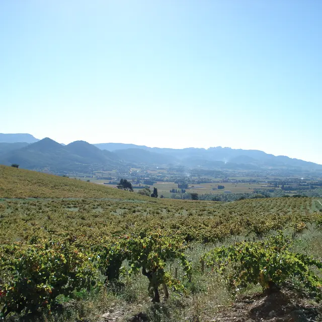
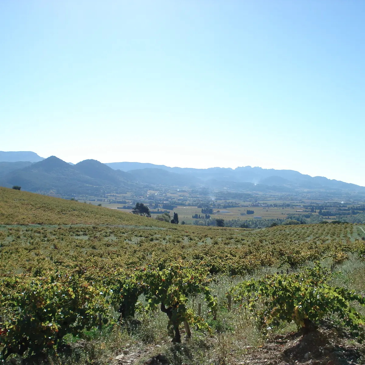
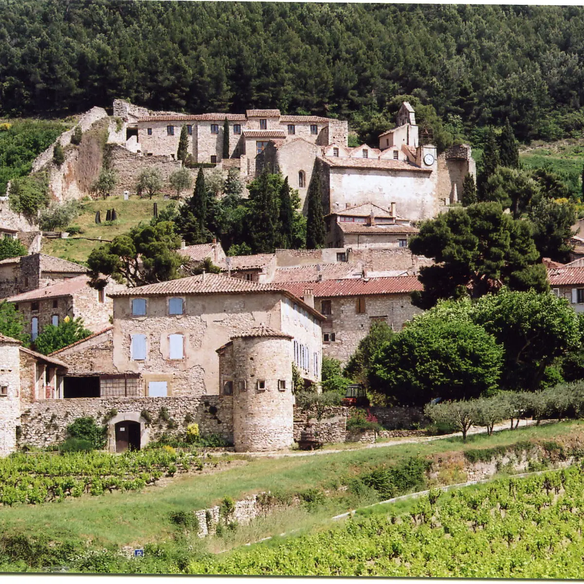
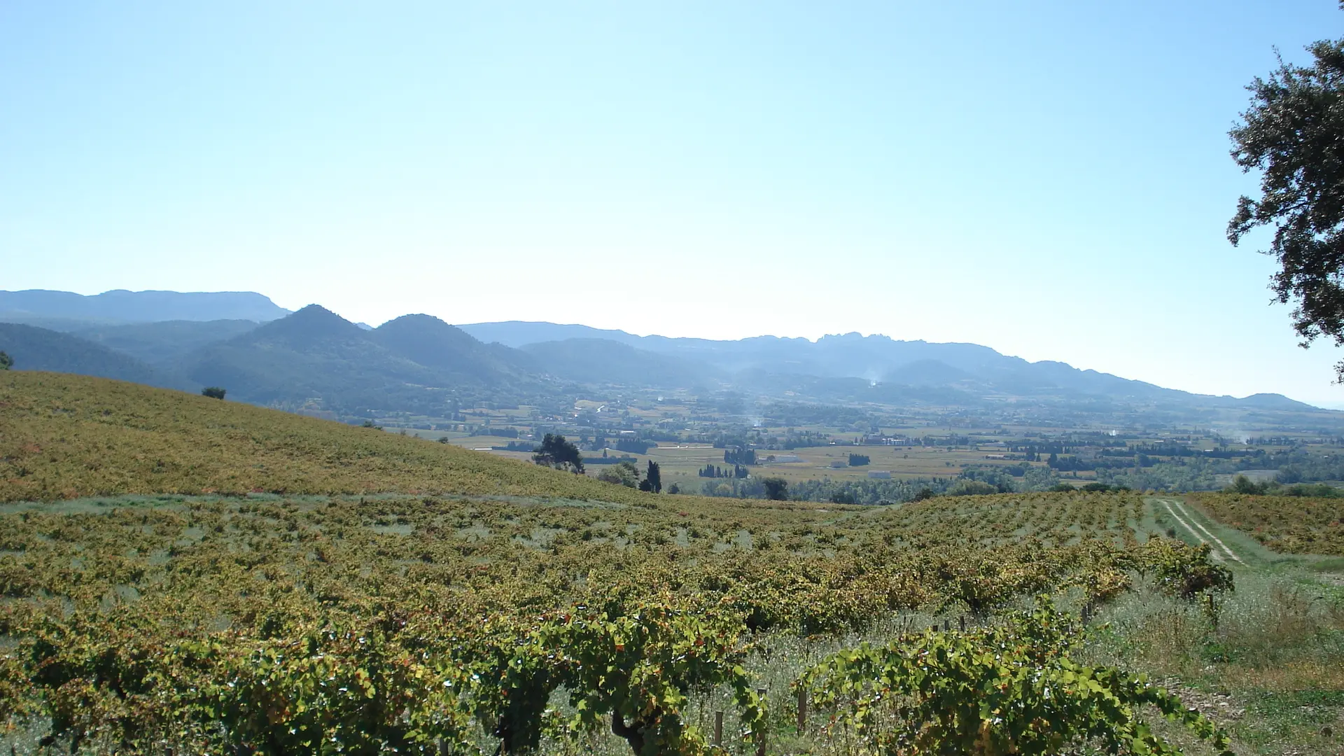
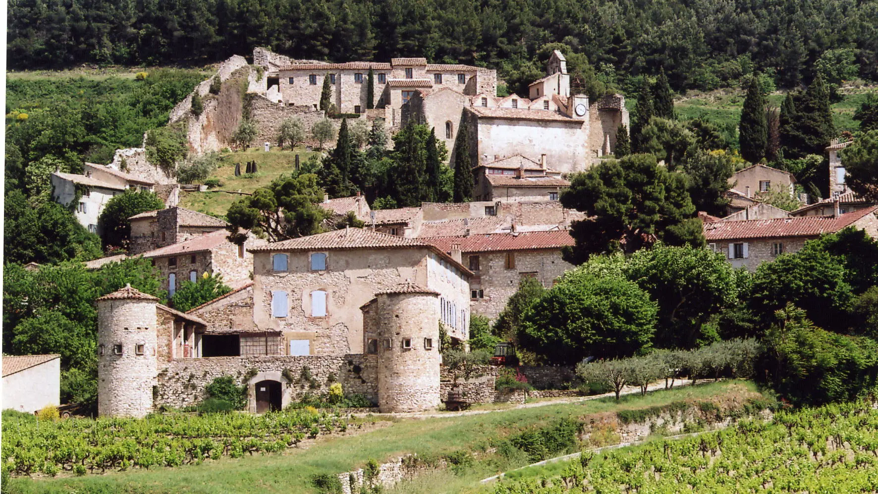
Take the time to wander a bit and discover the vintner trail in Vaqueyras, the sculpture garden in Gigondas, the streets and views over the villages of Beaumes de Venise and Sablet.
Parking: market square in Beaumes de Venise
Start from the Tourism Office in Beaumes de Venise.
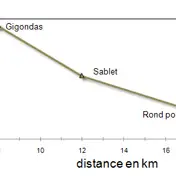
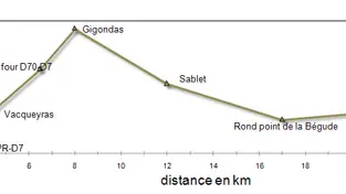
Leave the market place (from the bottom of the square). At the intersection take a left. At the stop sign turn left (be careful – heavily travelled road). 300m farther, take a right. Take a right before the park planted with centuryold plane trees. After the second bridge at the intersection, take a right. At the stop sign take a left then the first right (2m after the stop sign). 600m later, take a left. At the intersection, take a right then, the “Route de la Bertrane”. At the intersection go straight. Take a first right, long straight road for 4.6km. At the stop sign go right. At the intersection take a left on the D-8 (be careful – heavily travelled road). 50 meters before the roundabout, right on “Chemin Saint André. At the stop sign go straight to Sablet, biking in front of a tennis court. At the intersection go right. Go through the village in the direction of Gigondas. Cross on the left direction Gigondas (be careful, cars are coming from behind). At the stop sign go left (go across in 2 stages – be careful) cross through Gigondas. Take the direction of Vacqueyras on the D-7. In Vacqueyras, go straight. At the roundabout turn right then go 400 m further and take the first left . Follow this road (intersection on the left) to the D7.
Then go to the right (be careful, lots of traffic on this road). 1 km from there, take the first road on the left (road to the right). Climb up to the Notre Dame d'Aubune chapel. Continue on the road.
Read more