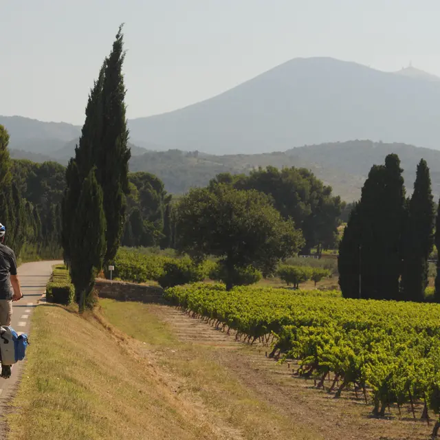
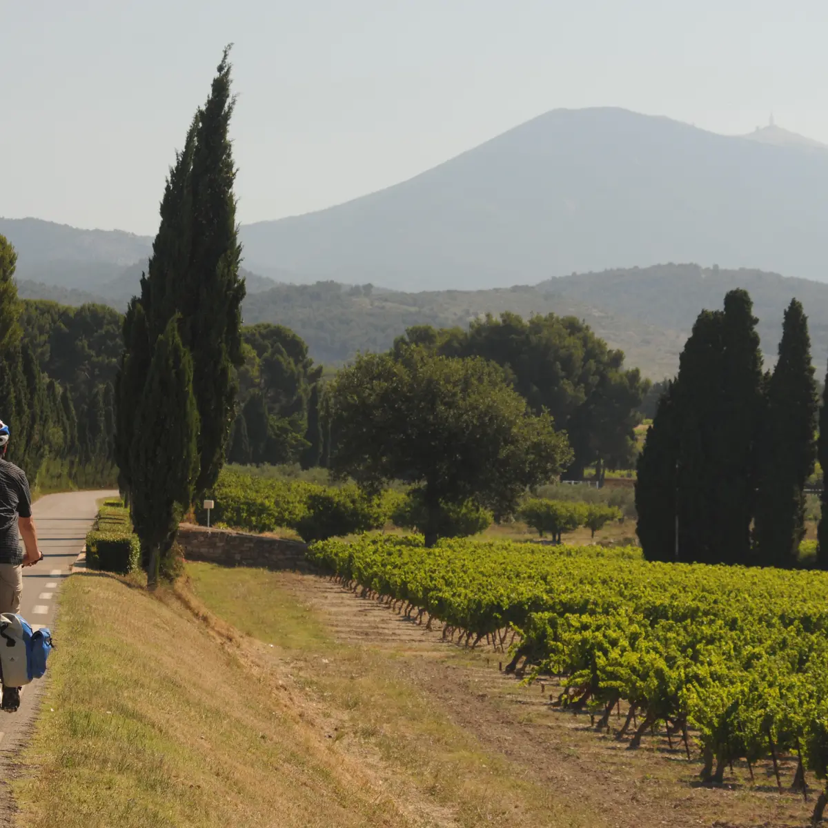
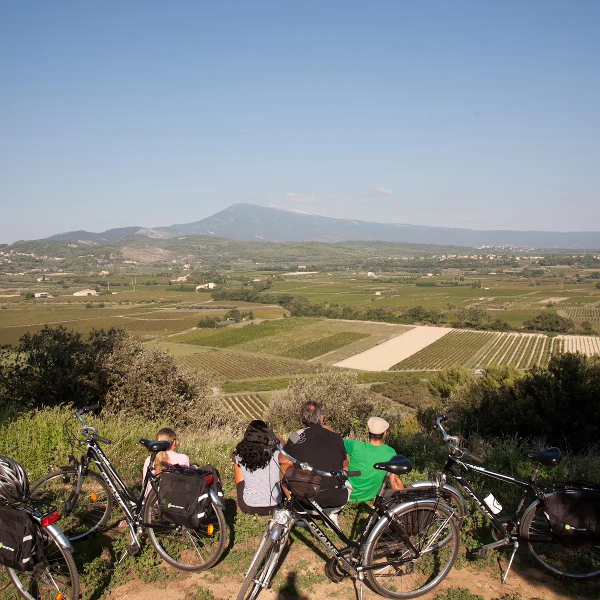
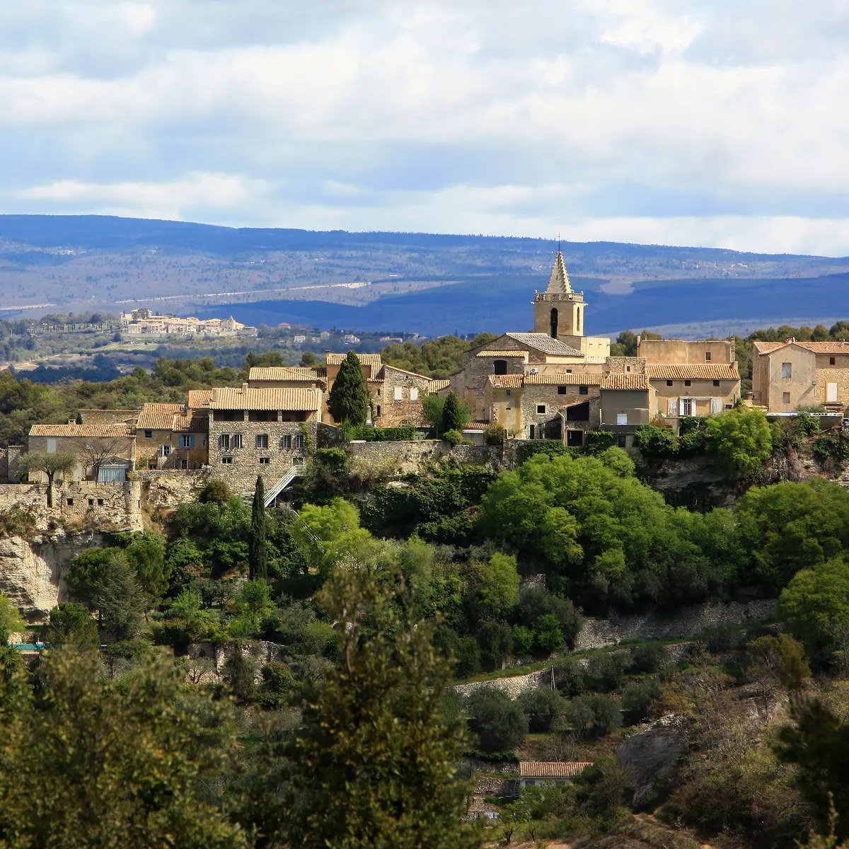
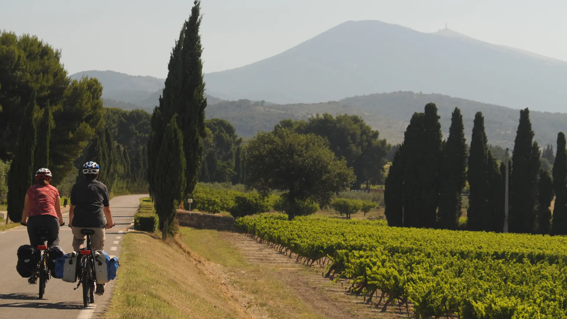
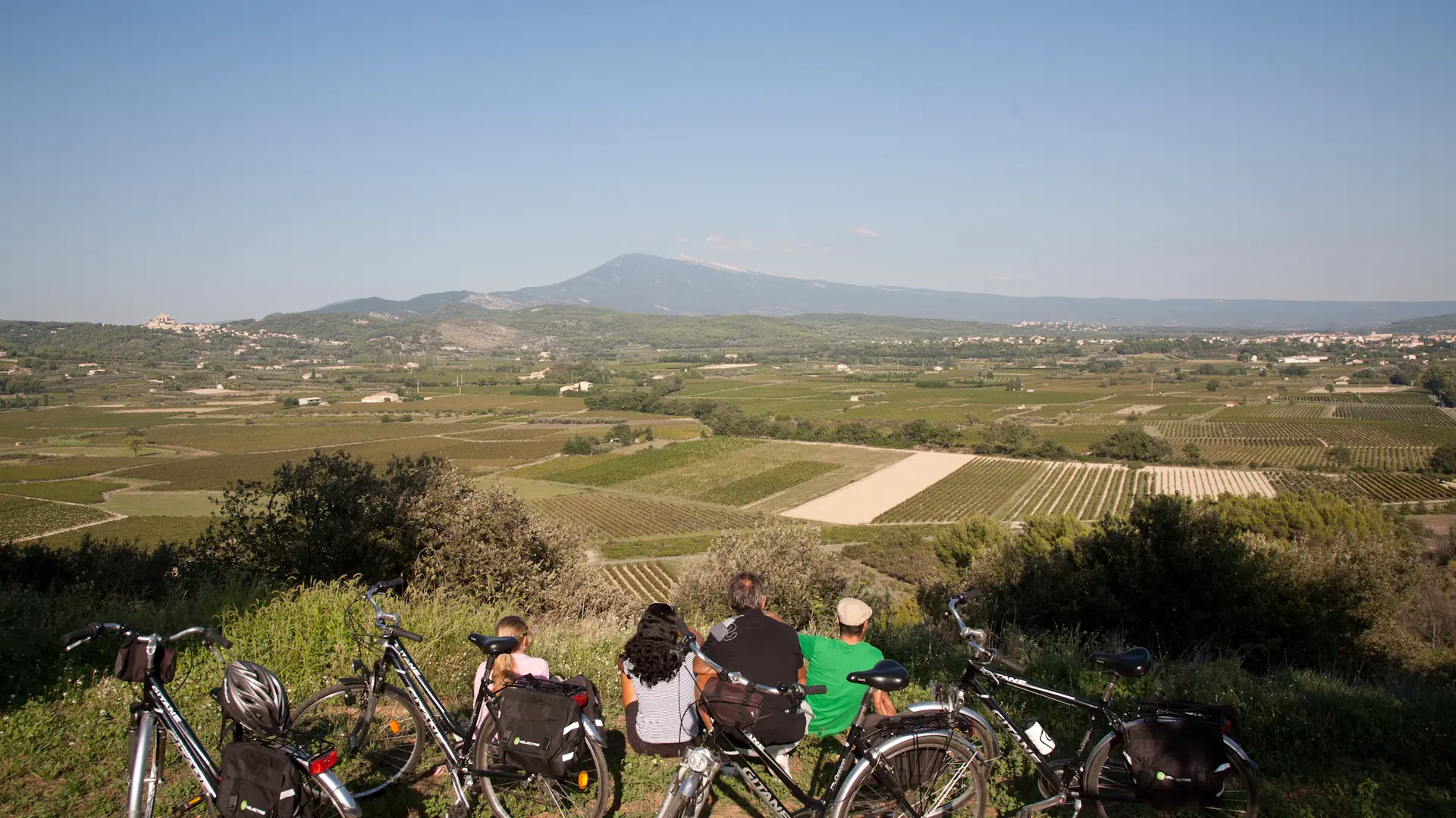
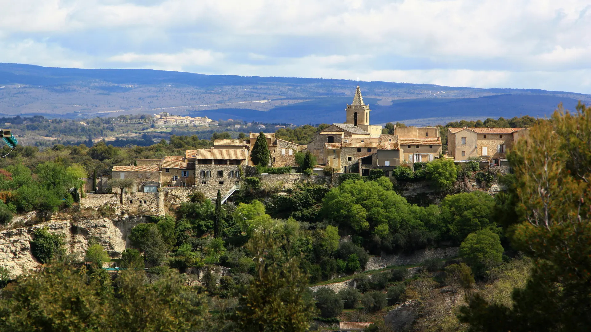
The Comtat Venaissin, area of Art and History is located in the heart of Provence at the foot of Mont Ventoux. The Comtat Venaissin, a discrete area with varied, preserved landscapes, is criss-crossed by small country roads that wind amidst orchards and vineyards and are ideal for cycling. Starting from Carpentras, this itinerary takes you first toward the Dentelles de Montmirail, a small range with amazing topography. You cycle down towards the Mont Ventoux piedmont planted with the characteristic crops emblematic of Provence – vineyards, olive groves and cherry orchards. Then, on you go towards the Monts de Vaucluse and the villages that nestle in the hilltops, providing stunning views of Mont Ventoux. On your way, take the time to explore the small town of Pernes-les-Fontaines with its 40 fountains! The Stages on the Tour du Comtat Venaissin à vélo These stages are our suggestions. With the roadbook you can put together your own trip and follow this itinerary at your own pace. 1 - CARPENTRAS > BEDOIN 41 km – 25.5 milesVia Loriol-du-Comtat > Aubignan > Beaumes-de-Venise > Lafare > La Roque Alric > Le Barroux > Caromb > Modène > Crillon-le-Brave > BEdoinIn Carpentras, the circuit starts from the car park at the Porte d’Orange. Follow the sign for Loriol-du-Comtat. 2 - BEDOIN > MAZAN 36 km – 22 milesVia Flassan > Mormoiron > Méthamis > Malemort-du-Comtat3 - MAZAN > CARPENTRAS 38 km – 23 milesVia Venasque > Le Beaucet > La Roque-sur-Pernes > Saint-Didier > Pernes-les-Fontaines
Read more