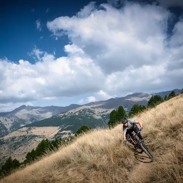
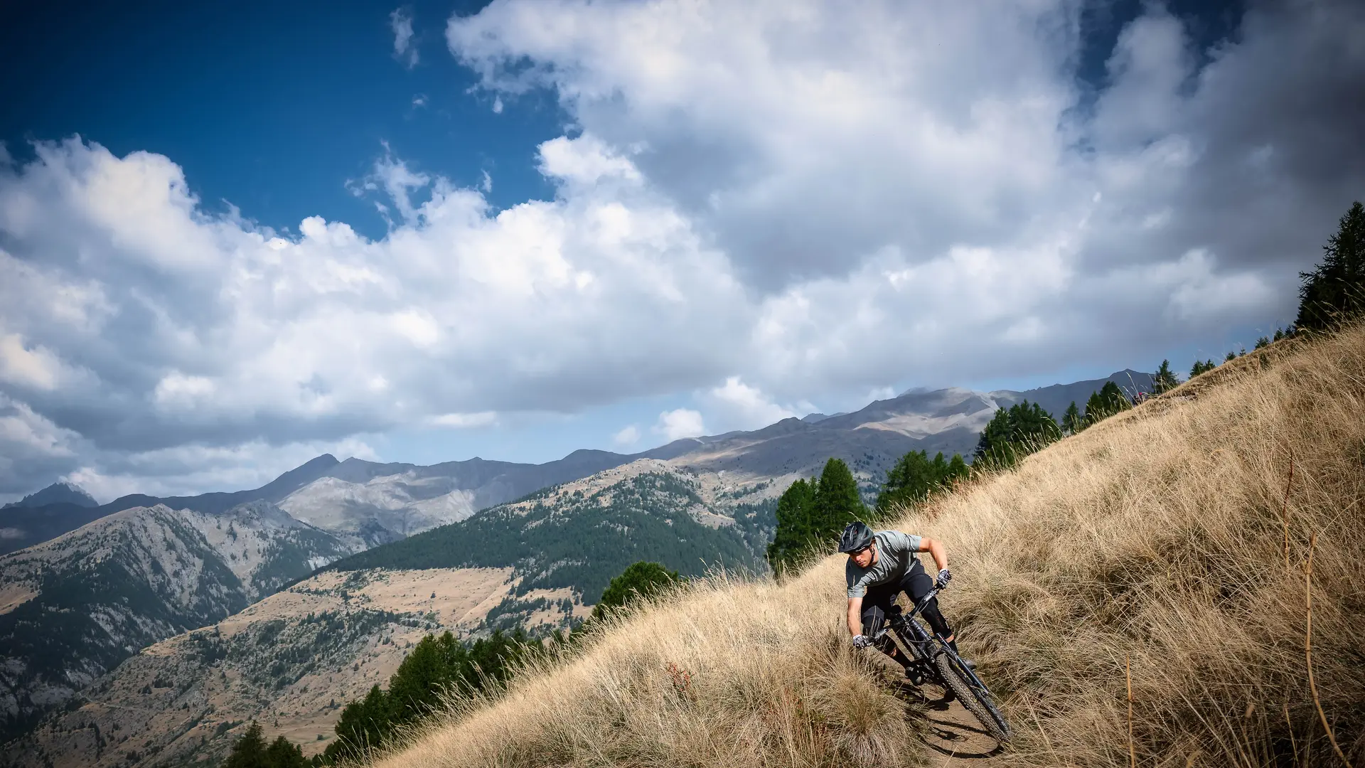
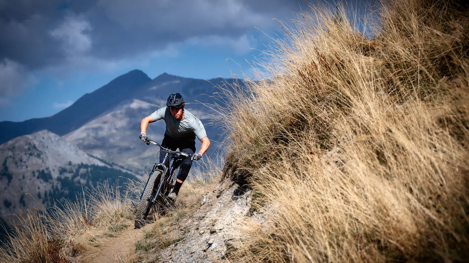
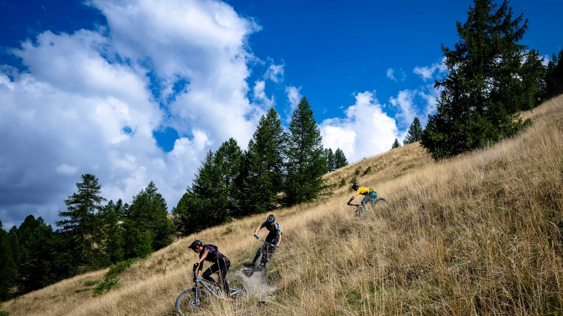
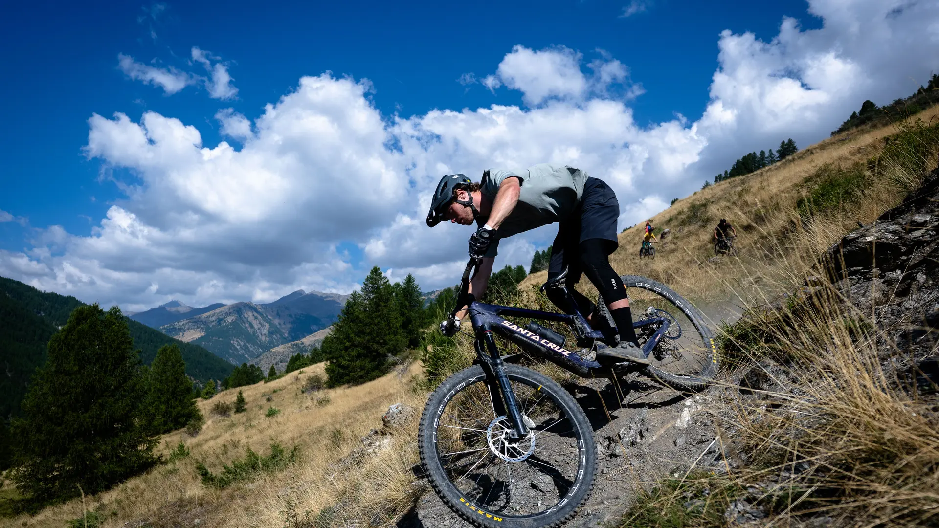
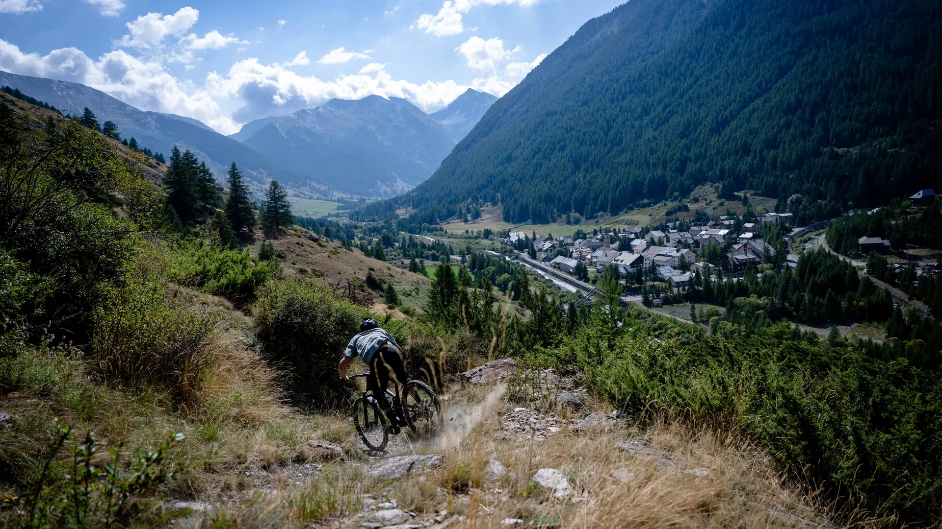
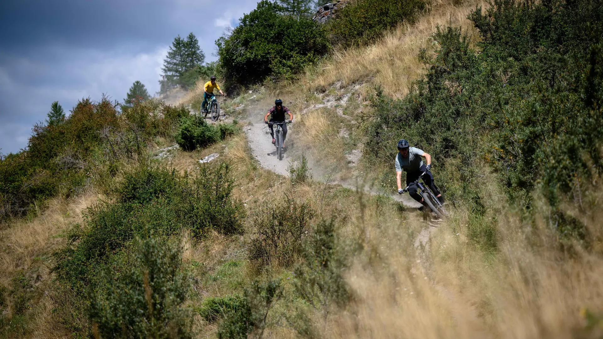
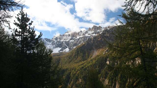
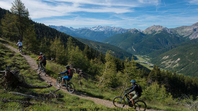
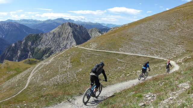
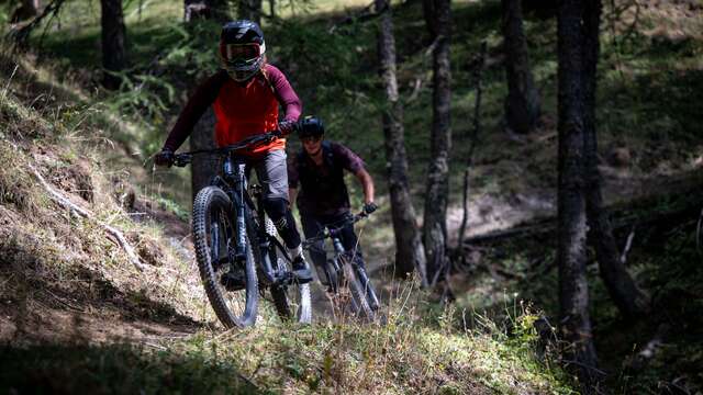
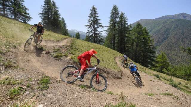
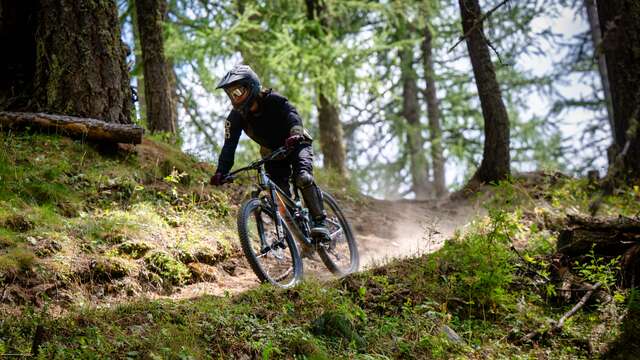
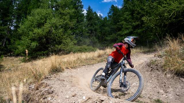
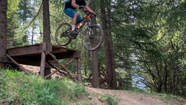
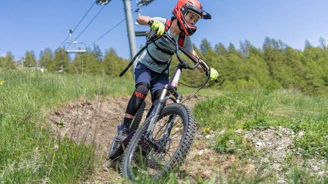
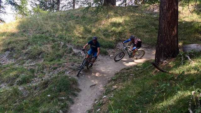
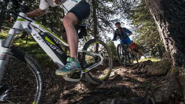
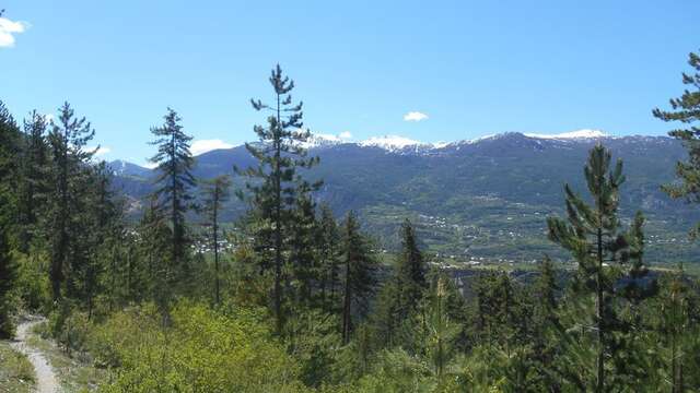
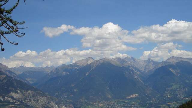
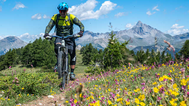
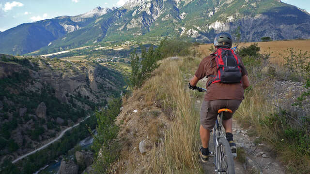
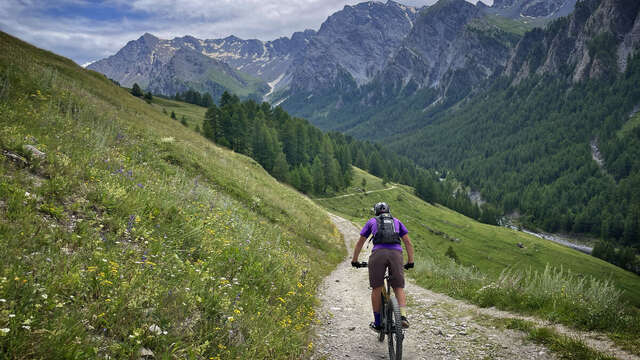
Fast and playful, with a festival of hairpins of all levels, it's a mountain in a nutshell!
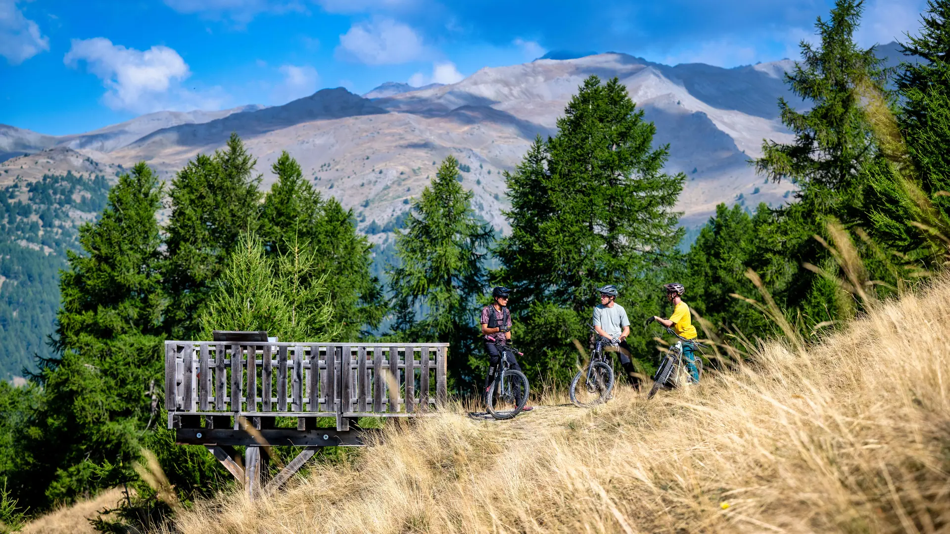
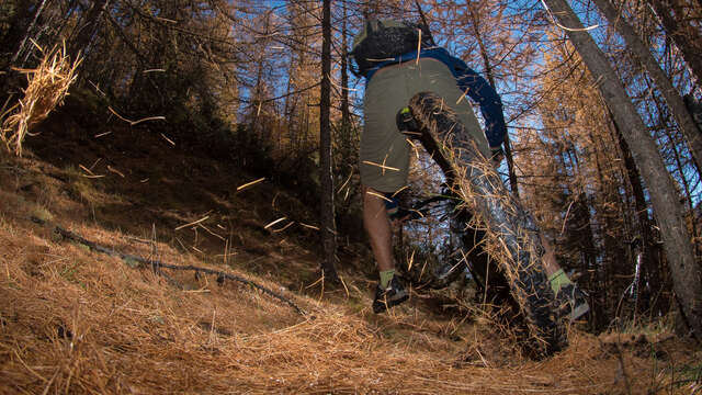
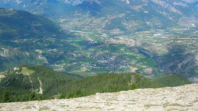
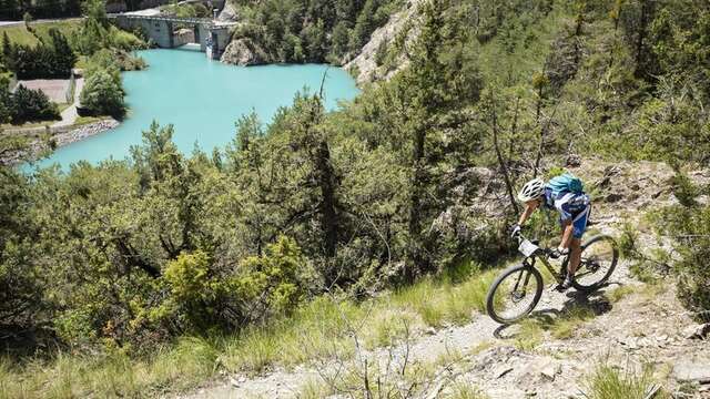
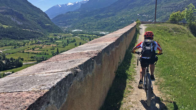
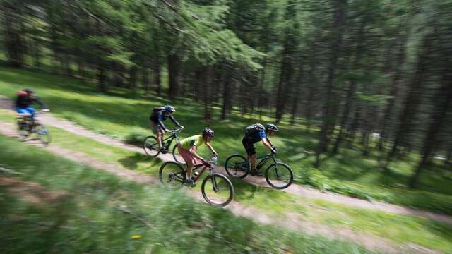
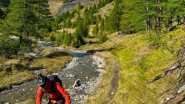
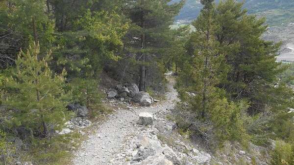
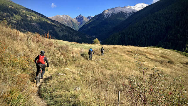
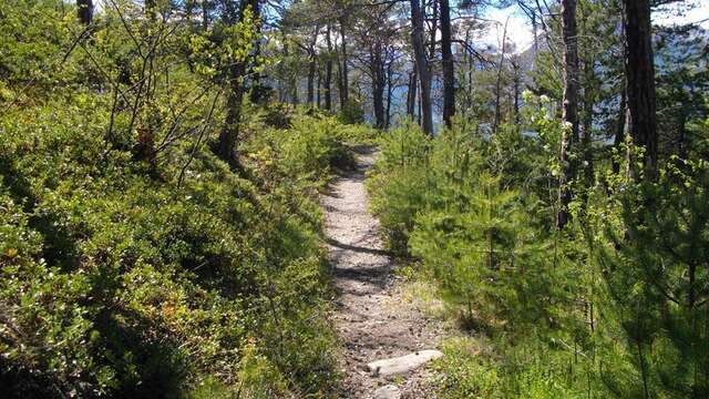
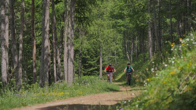
From the top of the chairlift, you start with a dry climb, a little challenge, before embarking on a magnificent rolling single through the forest. It's going to be hot! The further you go, the steeper the gradient becomes, and you launch into a succession of tight hairpins worthy of the finest mountain trails.
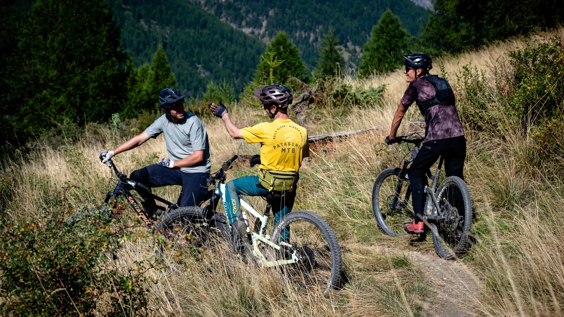
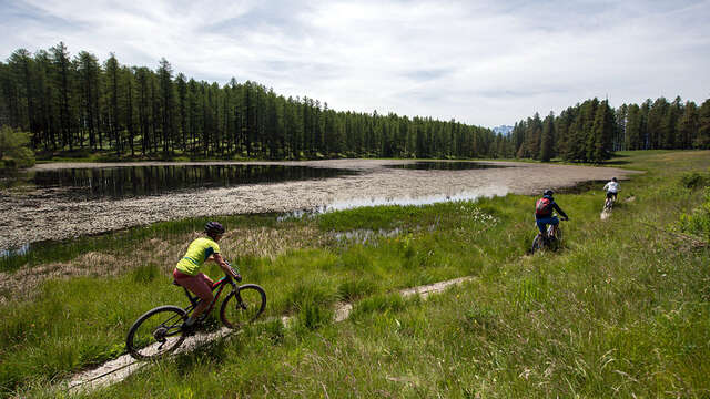
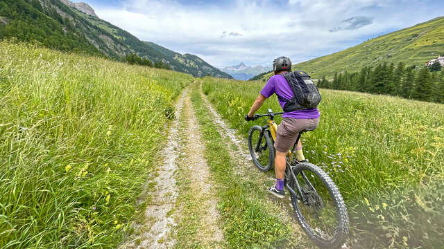
This itinerary is a mix of different users: hikers/trekkers/trailers. For more information on the presence of herds, click on the link to the Parc Naturel Régional du Queyras website in the documentation tab below.
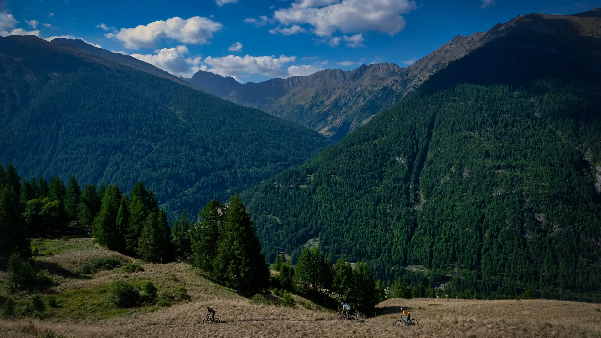
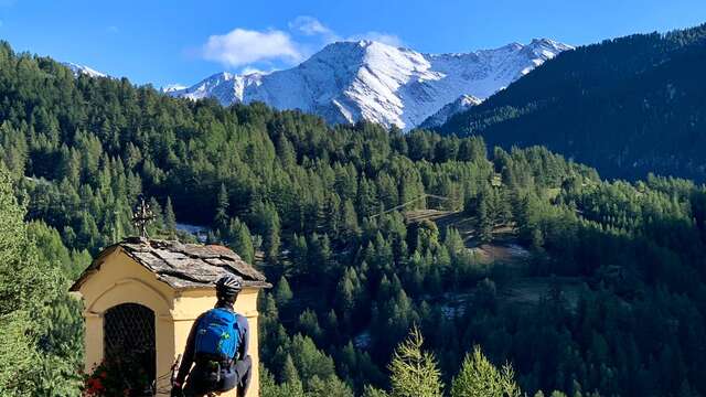
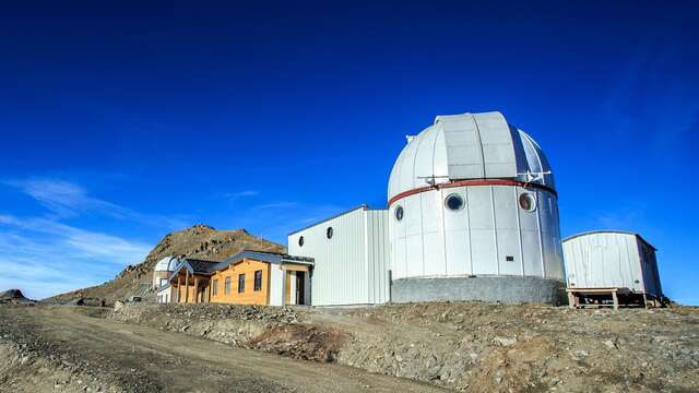
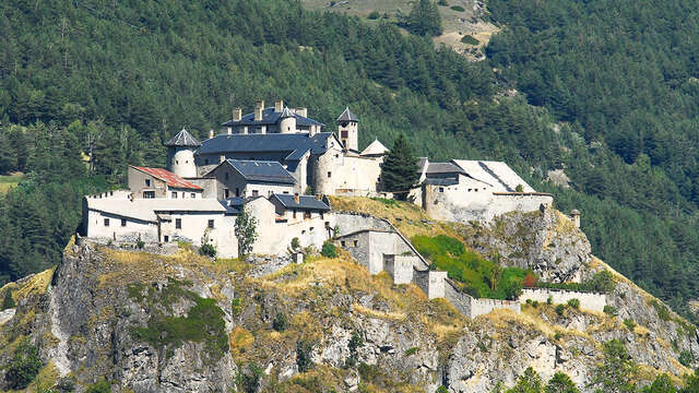
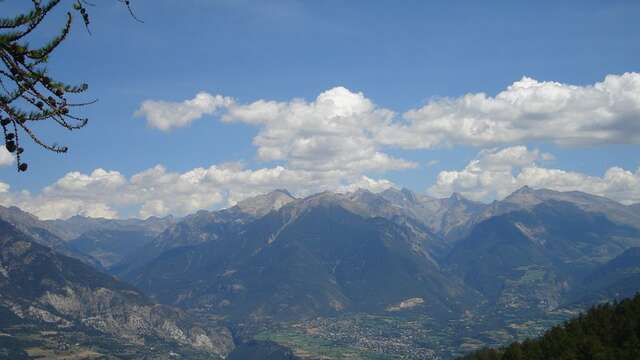
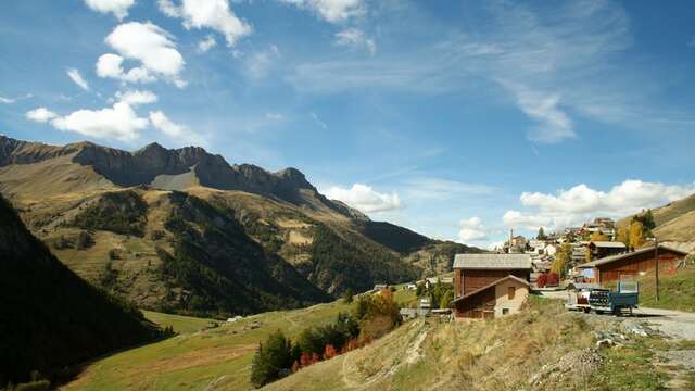
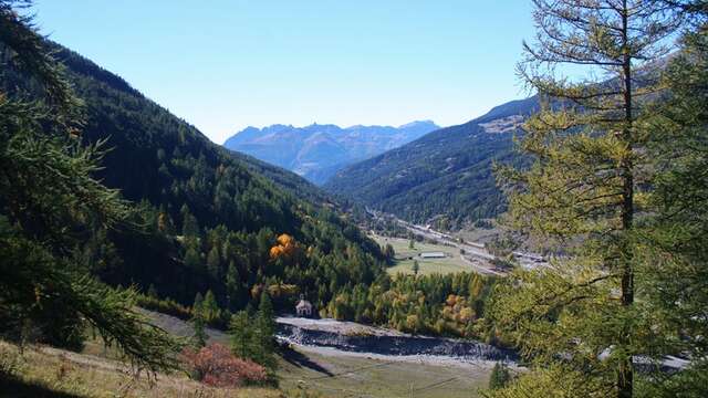
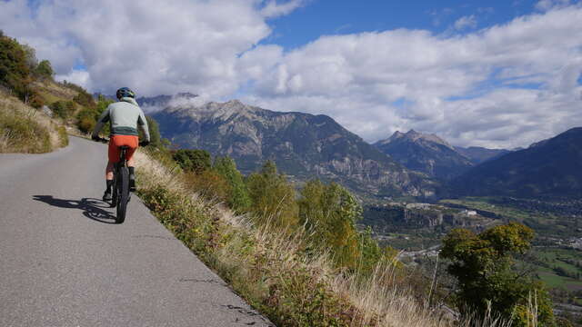
This itinerary is part of the Queyras Bike Park in Abriès-Ristolas. It can be reached from the top of the Gilly chairlift (during opening hours), and is also accessible by pedal via a link. The description only covers the route from the top of the chairlift.