See photos (6)

8 - Forcalquier - Lure à vélo

Sport, Cycling sports, Cycle tourism route in Forcalquier
Unresolved hours
82.0 km
  • From 38 to 94 km. The itineraries are marked out in both directions by road-signs, each direction is shown in a distinct colour.

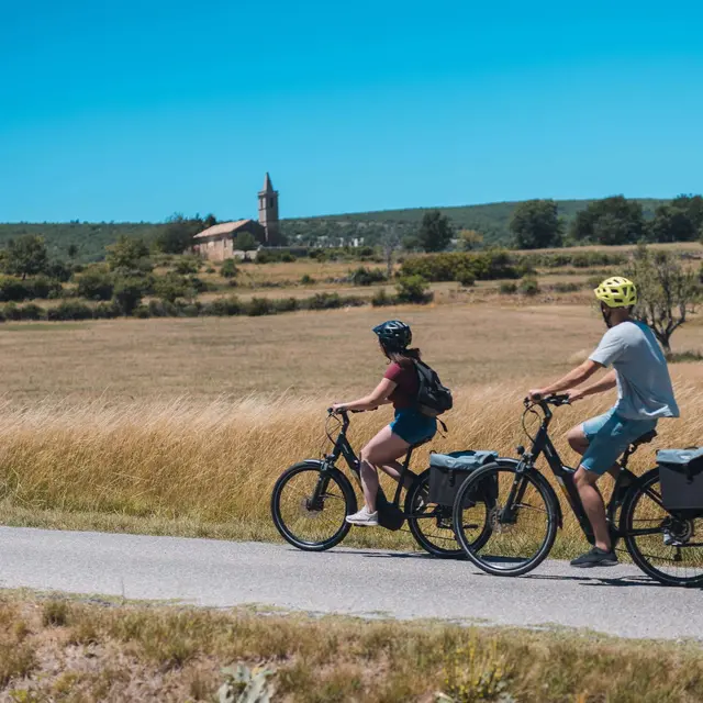
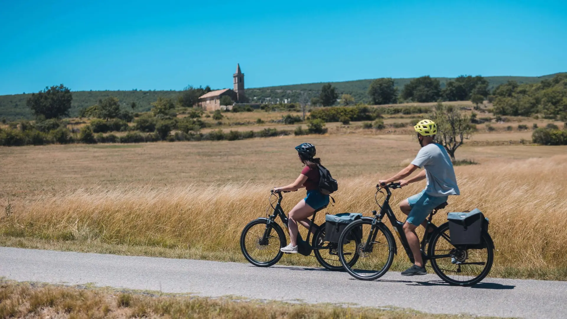
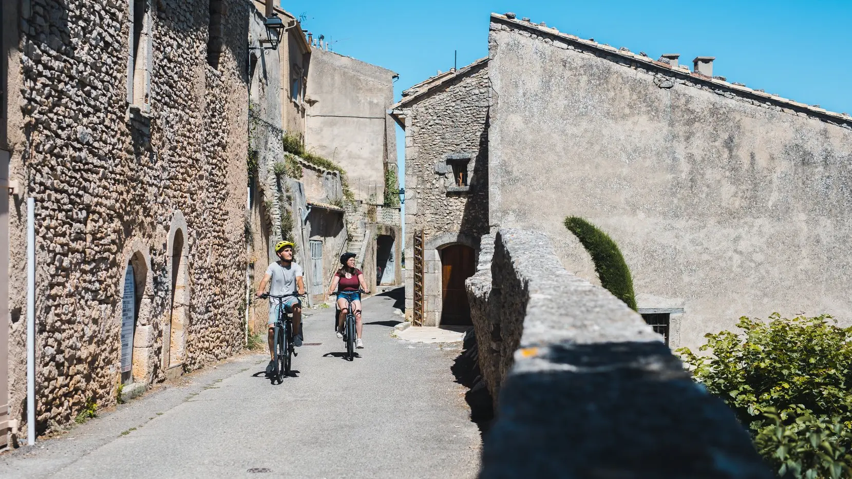
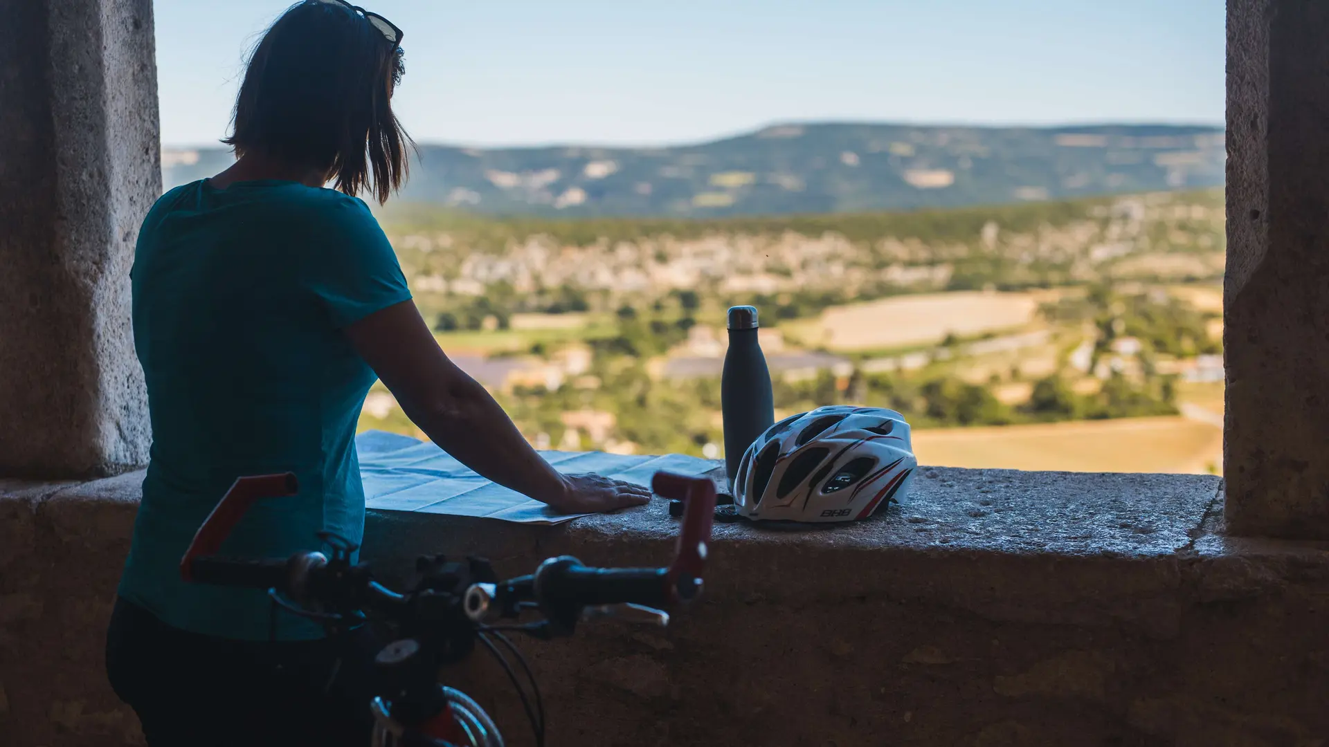
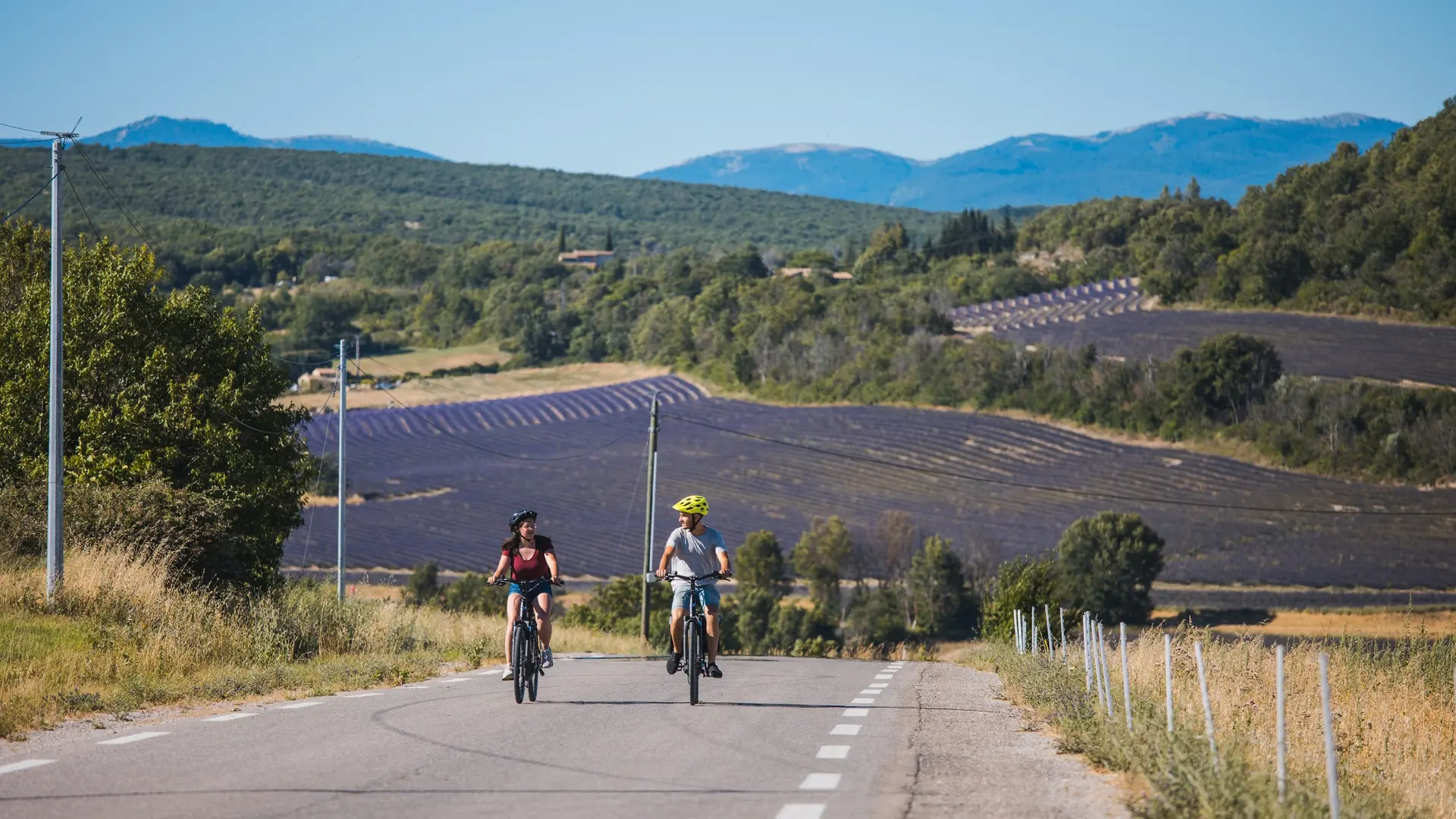
  • From the high plains of Provence, you’ll discover the great variety of its landscape in an infinity of colors, scents and atmospheres… To make use of it,
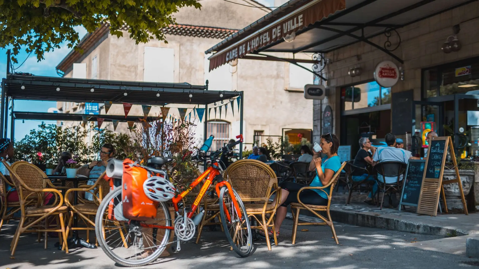
    men had to adapt typical crops: lavender, olive, honey, truffle… Make sure you lift your hands from the handlebars as you travel up and down this countryside:
    several stops are possible at a hotel. Don’t forget to eat either: the Bistrots de
    Pays network will offer you local savory cooking or a filling snack…

    Have a good tour!
1278 meters of difference in height
Created with Highcharts 6.2.0Distance (km)Altitude (m)0 km5 km10 km15 km20 km25 km30 km35 km40 km45 km50 km55 km60 km65 km70 km75 km80 km300 m400 m500 m600 m700 m800 m900 mHighcharts.com
  • Maximum altitude : 866 m
  • Minimum altitude : 385 m
  • Total positive elevation : 1278 m
  • Total negative elevation : -1278 m
  • Max positive elevation : 123 m
  • Min positive elevation : -176 m
Services
  • Equipment
    • Parking nearby
    • Public WC
    • Defibrillator
    • Picnic area