- Voir les favoris
See photos (3)
A Mediterranean bird festival
Sport, Pedestrian sports, Hiking itinerary
in Aureille
19.0
km
-
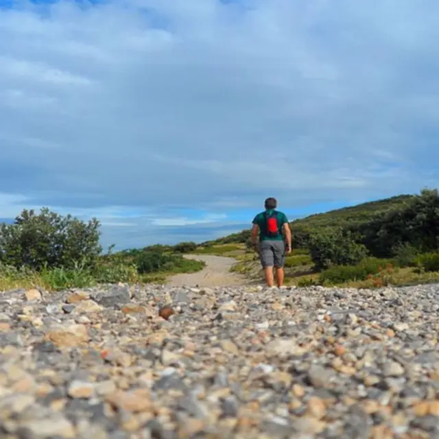
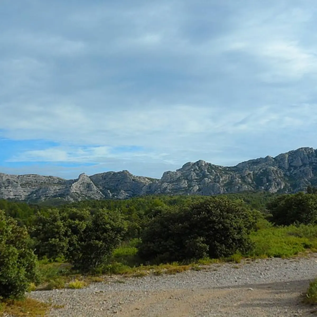
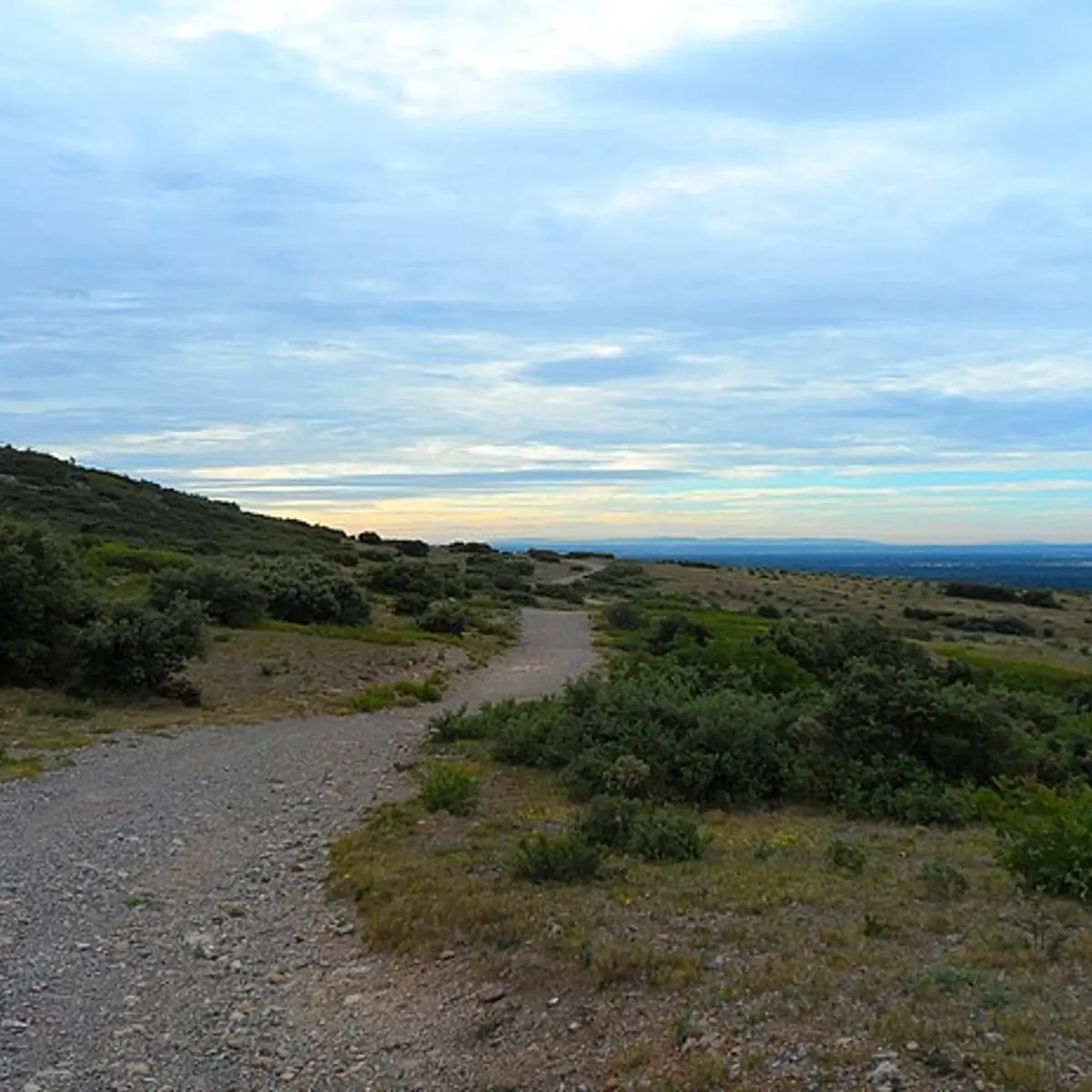
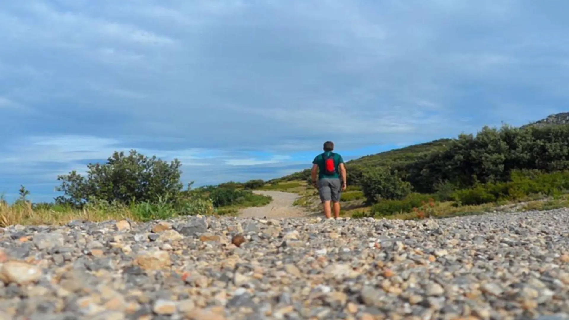
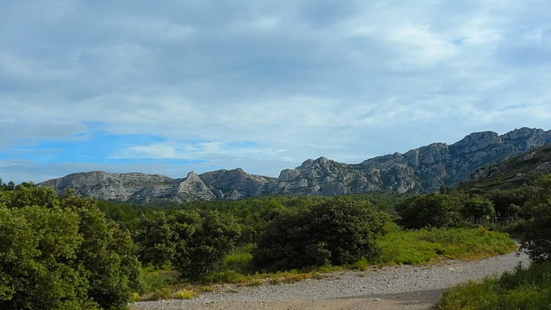
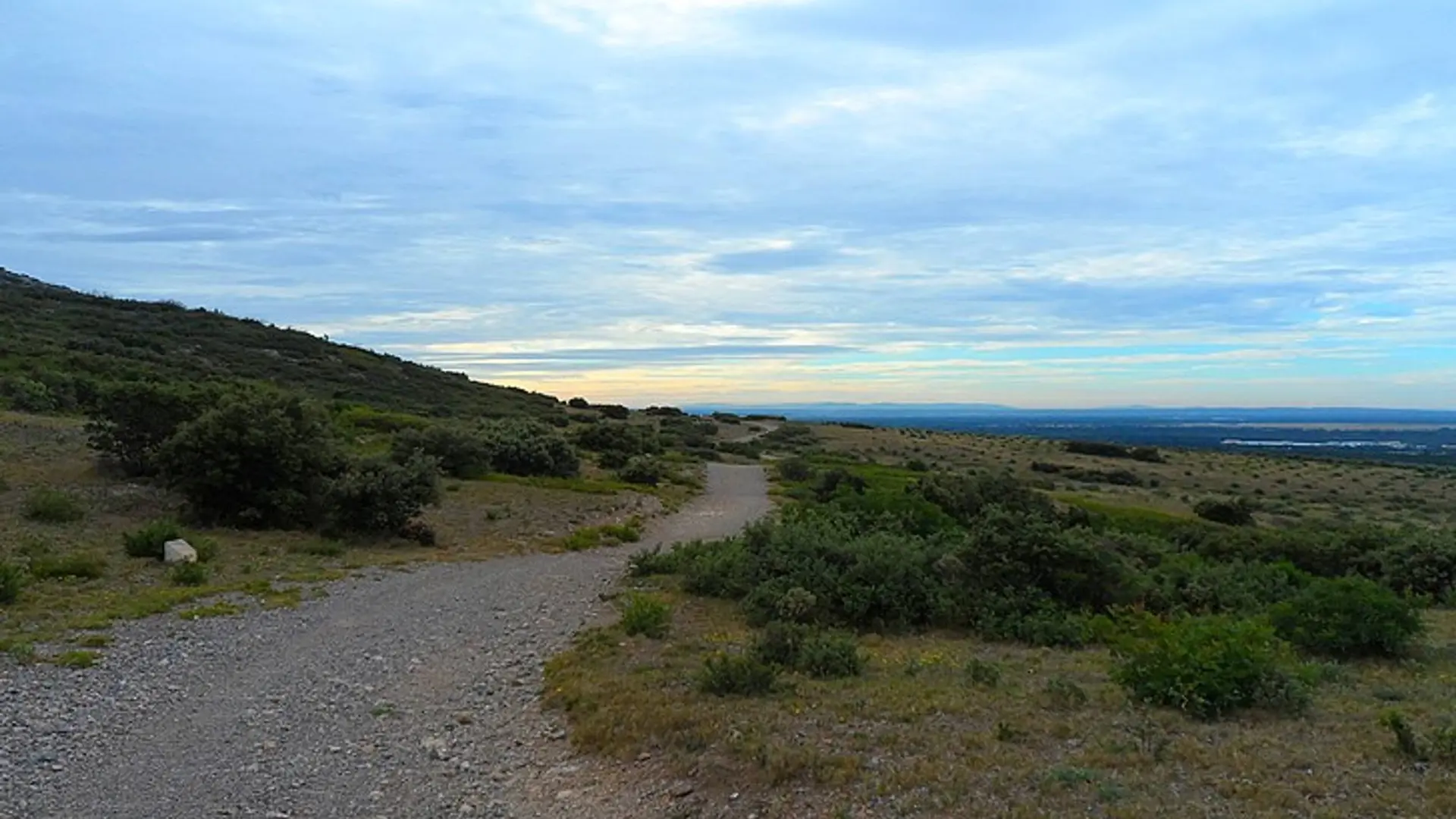
An easy walking path around the Opies during which you will easily see all the rare or typical species of the Alpilles.
-
Arriving at the cemetery, cross the gate to take the GR6 marked trail leading away from the village and follow it. Continue straight ahead, leaving the various small paths aside at multiple intersections Stay on this trail that continues to the foothills of the mountain on the left. Arriving to the sheep pen, go straight for 500 m.
1 – Pass the gate which cuts the road and at the crossroads, follow the second marked trail PR (yellow marking) which starts on the left. 400 metres further, turn...Arriving at the cemetery, cross the gate to take the GR6 marked trail leading away from the village and follow it. Continue straight ahead, leaving the various small paths aside at multiple intersections Stay on this trail that continues to the foothills of the mountain on the left. Arriving to the sheep pen, go straight for 500 m.
1 – Pass the gate which cuts the road and at the crossroads, follow the second marked trail PR (yellow marking) which starts on the left. 400 metres further, turn on the right to go remain on the marked trail going up the hill.
2 – Reaching to the gate, turn to the right, leaving the private property and turn left, to go down the path leading to the domaine du vallon des Glauges.
3 – Reaching to the domaine, continue straight on the road the tour of the wine estate.
4 – At the intersection, turn right and continue for 1.5 km on the gravel path between the vineyards, visible on the right side of the cliff overlooking on the left.
5 – Arriving back on the road, turn right and return to the domaine. (Traffic!)
3 – Turn left at the intersection represented by the reference point number 3 to start the route back.
Medium
- Departure
- Aureille
-
-
Difference in height
- 232.667 m
-
-
-
Departure : Car park of the cemetery, in Aureille.
Arrival : Car park of the cemetery, in Aureille.
Road access : On the D25b, enter Aureille. Turn right towards the cemetery at the end of the Avenue de la Gare..
Parking recommended : Car park of the cemetery, in Aureille .
Public transport : Consult the timetable for Aureille on the website www.lepilote.com .
- See all reviews
- 233 meters of difference in height
-
- Maximum altitude : 168 m
- Minimum altitude : 106 m
- Total positive elevation : 233 m
- Total negative elevation : -256 m
- Max positive elevation : 52 m
- Min positive elevation : -38 m
