Une vue panoramique

A panoramic view

Leisure, Tourist routes in Barcelonnette
31.1 km
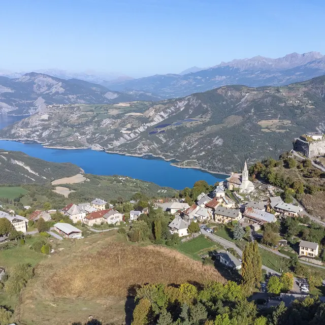
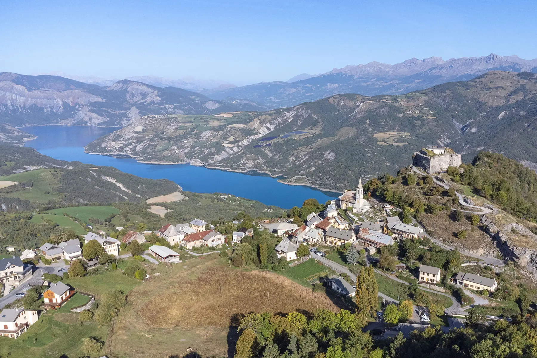
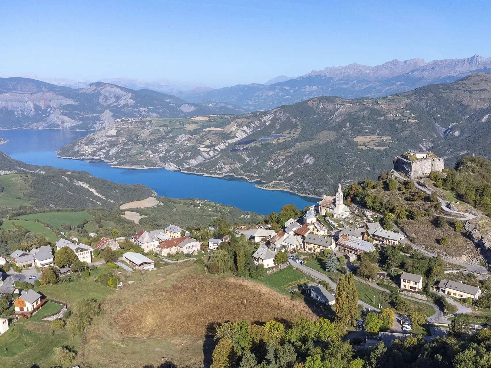
  • A varied route with alternating hairpin bends and curves. Stop off at Lake Lauzet before arriving at the village of Saint-Vincent-les-Forts, which stands like a sentinel overlooking the Ubaye Valley.

  • The view over Lake Serre-Ponçon is truly spectacular. Return via the same route.
  • Departure
    Barcelonnette
  • Difference in height
    712.32 m
  • Documentation
    GPX / KML files allow you to export the trail of your hike to your GPS (or other navigation tool)
712 meters of difference in height
  • Maximum altitude : 1278 m
  • Minimum altitude : 895 m
  • Total positive elevation : 712 m
  • Total negative elevation : -582 m
  • Max positive elevation : 107 m
  • Min positive elevation : -45 m