If you want to escape without borders, this itinerary is for you. Pass the Larche pass, a mountain road par excellence, and enjoy the generous landscapes until Cuneo.
If you're looking for an escape without frontiers, this is the route for you. Pass over the Col de Larche, a mountain route par excellence, and enjoy the generous scenery all the way to Cuneo.
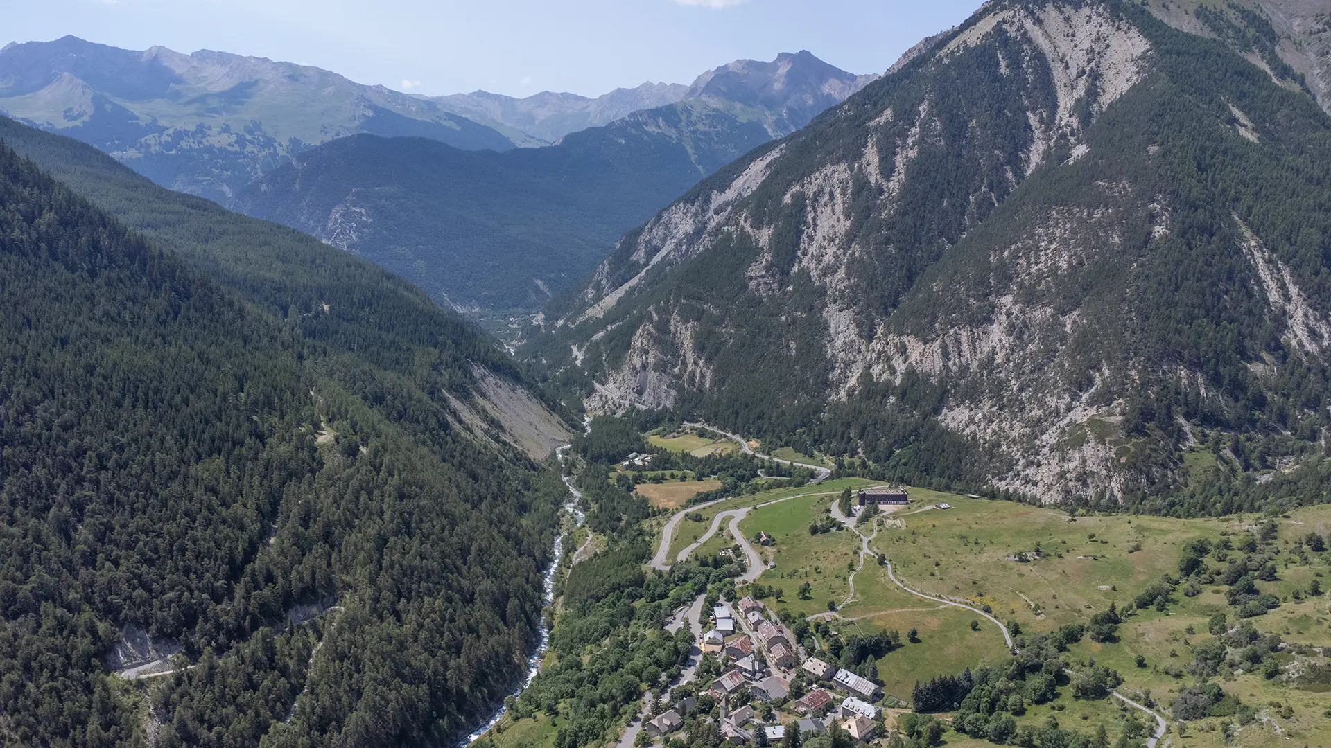
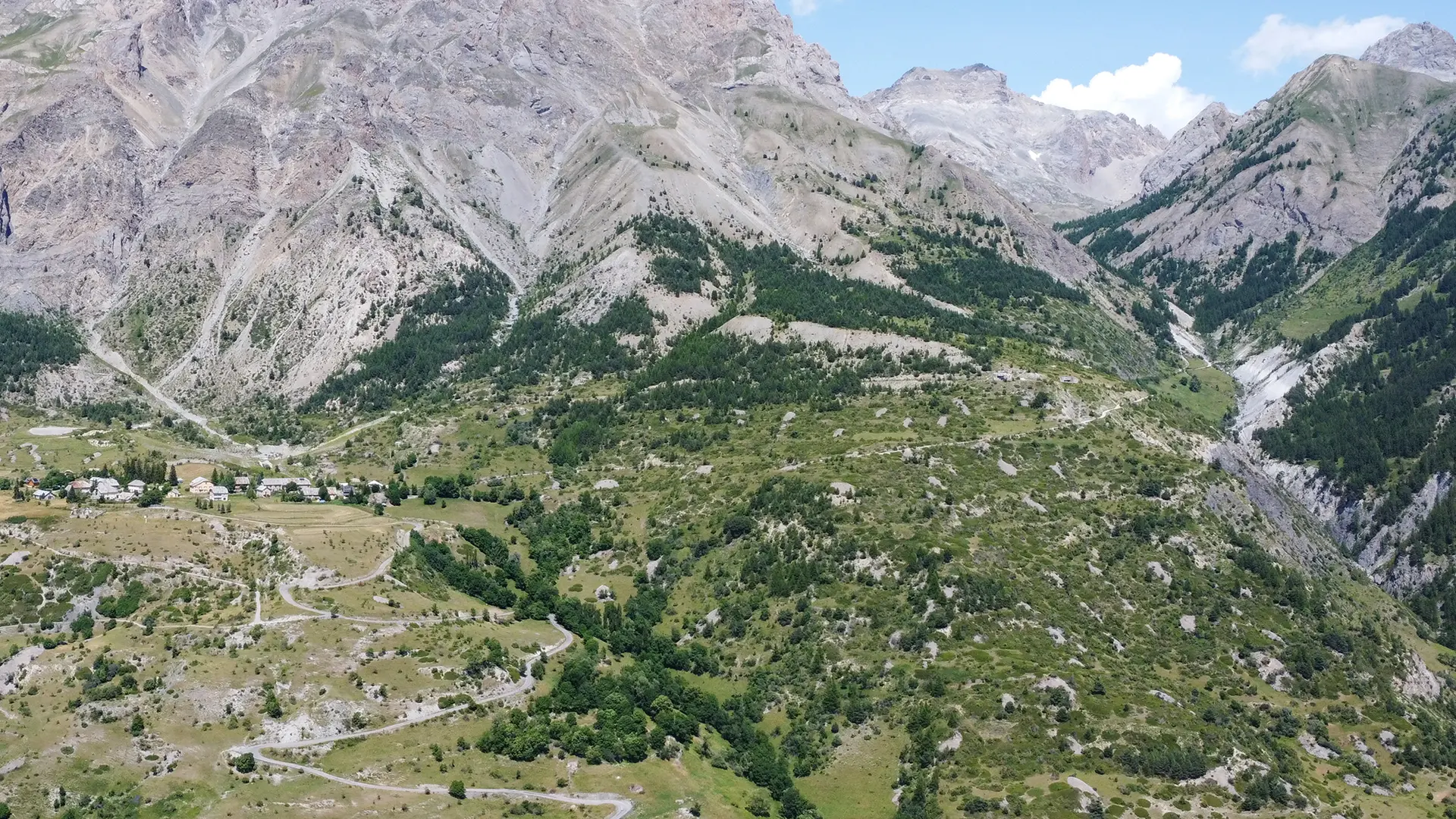
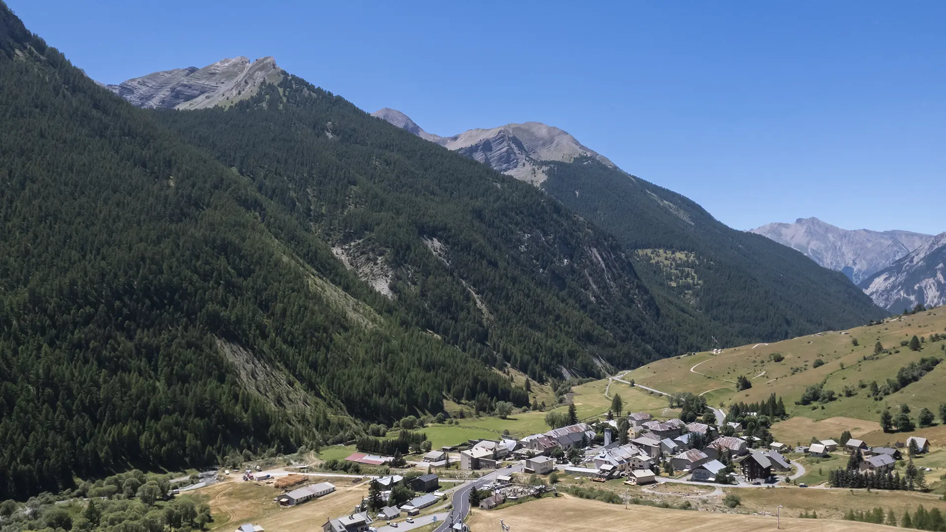
This tourist route takes you over the Col de Larche, known in Italian as Colle della Maddalena. Reaching an altitude of 1991 metres, it links the Ubaye Serre-Ponçon valley with the Stura di Demonte valley.
Along the way, you'll be immersed in Ubaye's military past. The Col de Larche is a strategic pass: because of its low altitude, it has always been considered a natural invasion route between France and Italy.
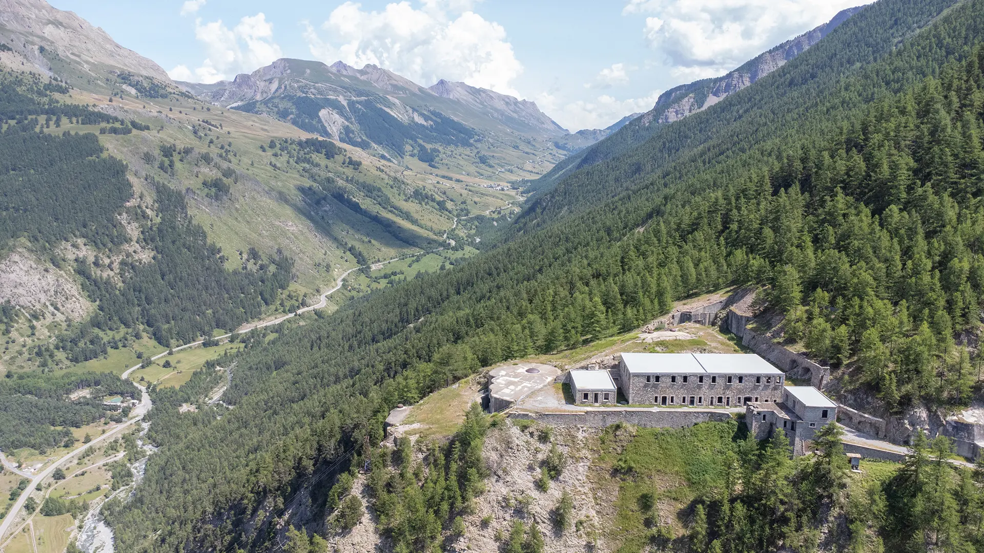
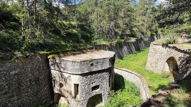
First of all, just outside the village of La Condamine-Châtelard, there is the Tournoux fort. This nineteenth-century structure is the most imposing in the Ubaye valley. Spread over a 700 metre drop, it is often referred to as the ‘military Versailles’.
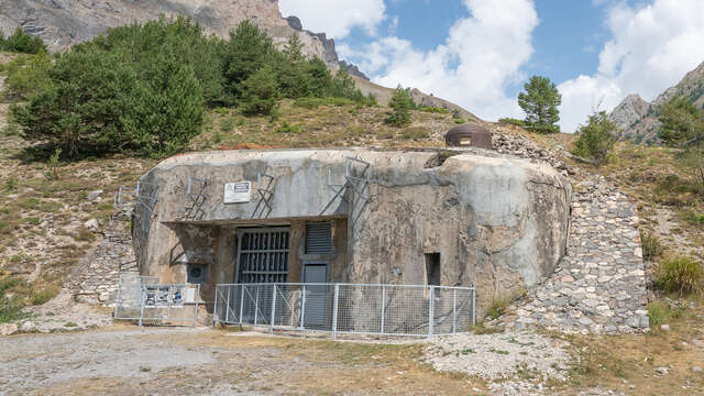
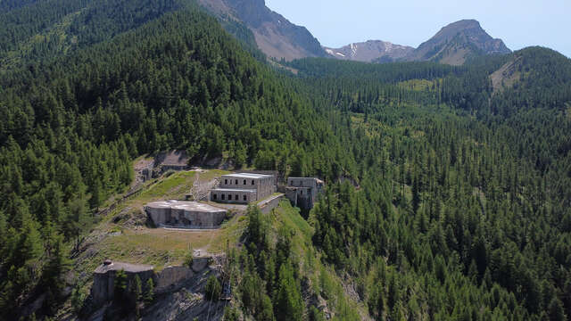
Shortly after the village of Meyronnes, you can see the Saint-Ours bas fortress, built in the 1930s as part of the Maginot Line of the Alps.
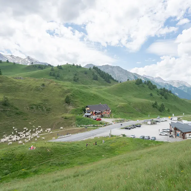
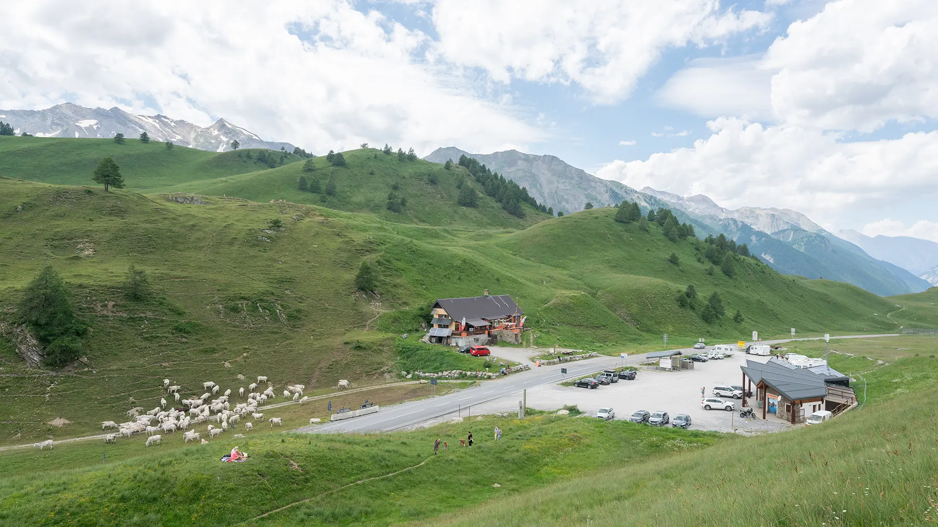
At the top of the Col de Larche, don't miss the former border post, now a refuge! You can also admire the ‘table-relief’, a curious combination of orientation table and relief map. This work of art is part of the VIAPAC contemporary art itinerary.
Once in Cuneo, capital of the province of the same name in the Italian region of Piedmont, don't leave without strolling through the historic centre and sampling some Italian specialities!