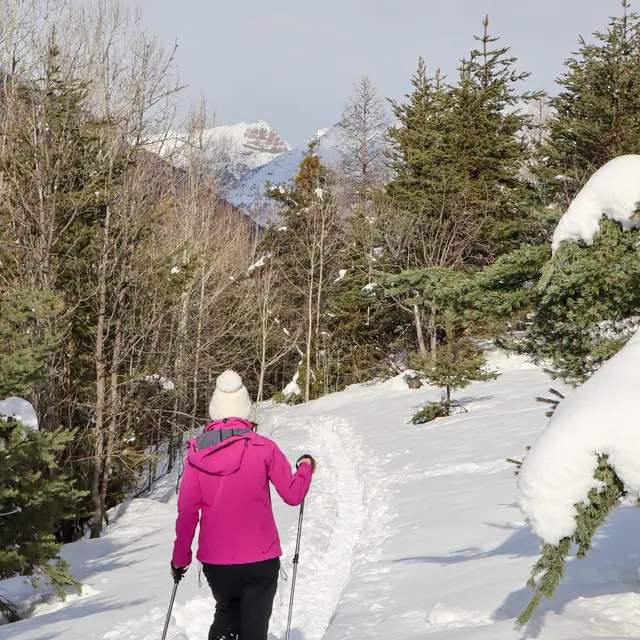
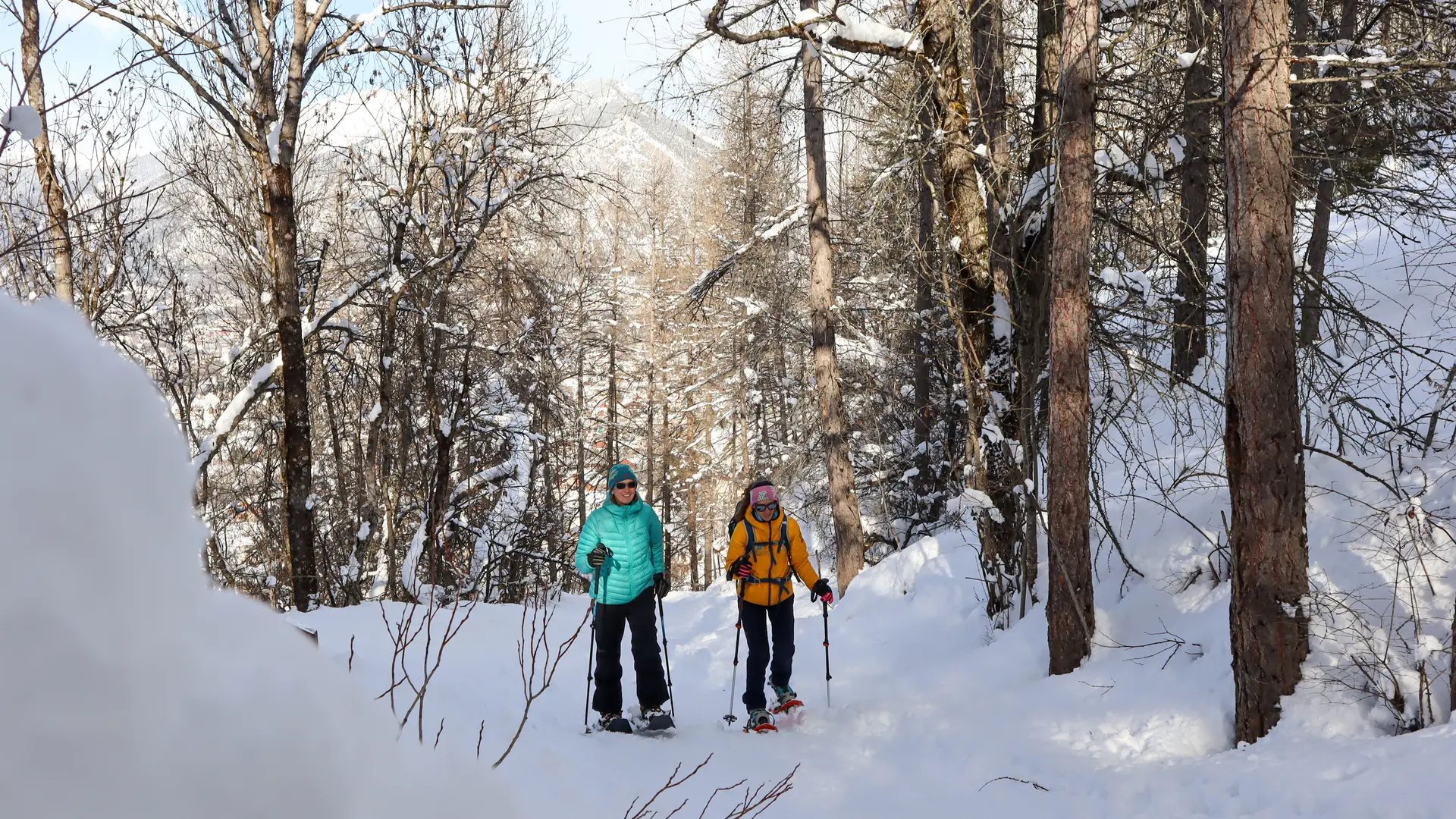
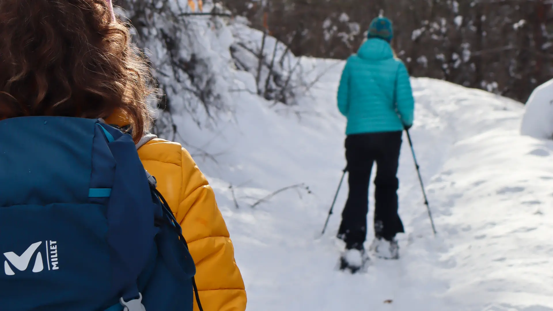
Follow the snow-covered track at the bottom of the parking lot to reach the Centre Montagne. Go about 100 m past the Centre Montagne to find a path leading down to the right, at the corner of a small grove, which joins the "Canal Neuf": follow this small canal on the left.
Soon you'll see an electric substation. Cross the canal (arrow sentier des charbonnières) to the left and climb up into an old meadow, cross two low walls and bend right to find the path again. At the next fork in the road, follow the path upwards, cross a footbridge and climb the track that runs alongside the torrent and bends to the right.
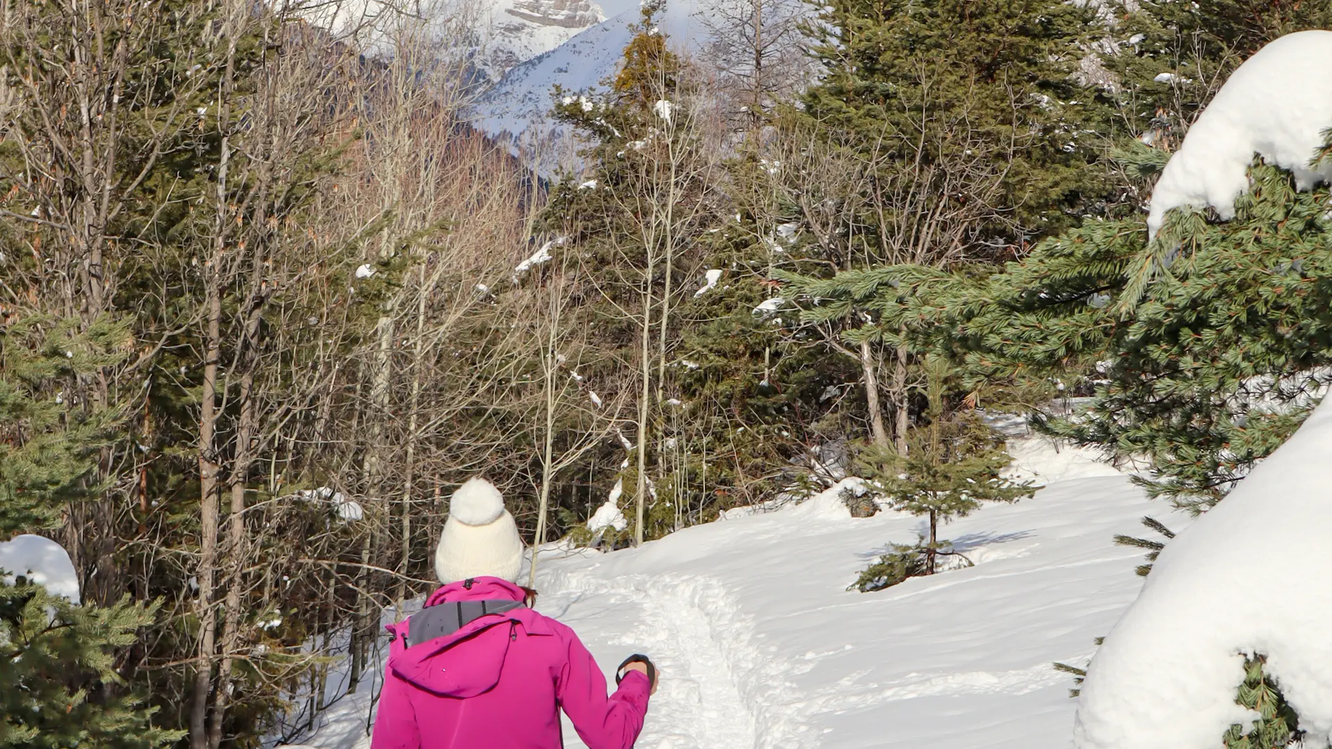
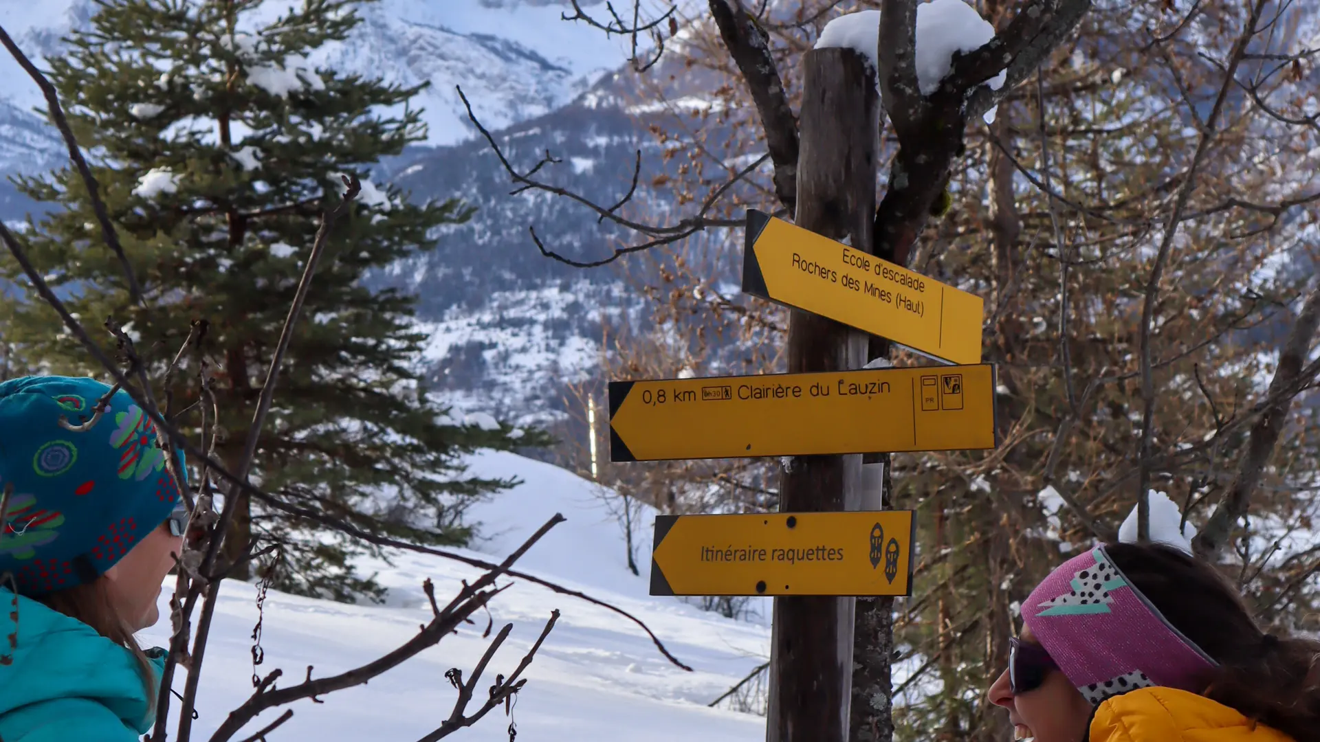
Just after the bend, climb the left-hand path (sentier des charbonnières arrow) which passes two old mines (remnants of a wagon track) and joins a cross-country ski trail: cross the trail and continue uphill: climb it and cross the footbridge.
Take the path on the right (arrow sentier des charbonnières) which joins an old track (approx. 1380 m).
Descend, fork right at the fork (arrow sentier des charbonnières) and cross the footbridge over the Petit Rif (right, entrance to an old mine).
Turn left, join the wide track and cross it again: follow the pedestrian route back to your starting point.
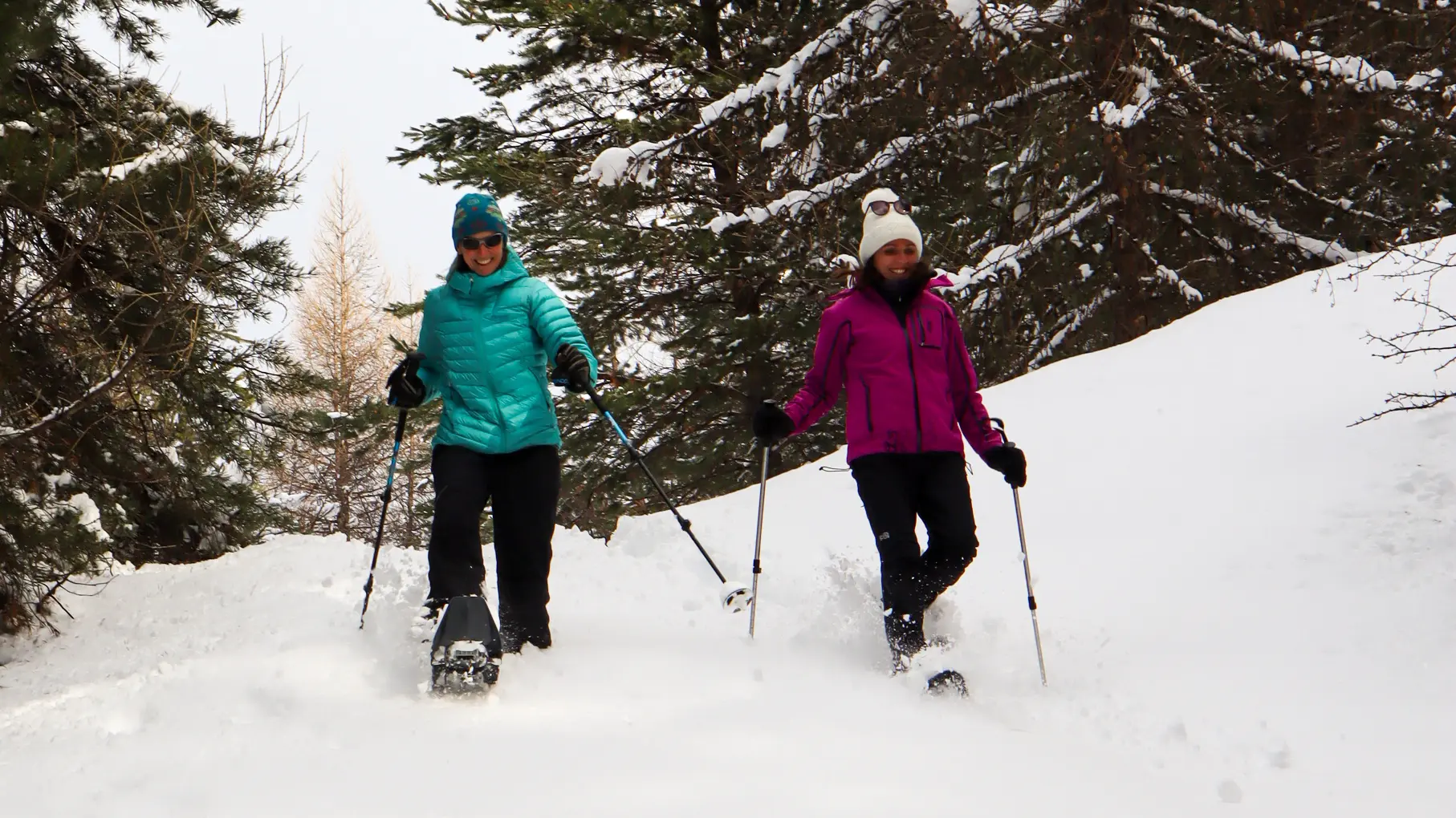
You are in the Villard-Saint-Pancrace Nordic ski area: please do not use the cross-country ski trails.
Read more