- Voir les favoris
See photos (4)
Around Lake Serre-Ponçon
Sport, Cycling sports, Cycle tourism route
in Embrun
126.5
km
-
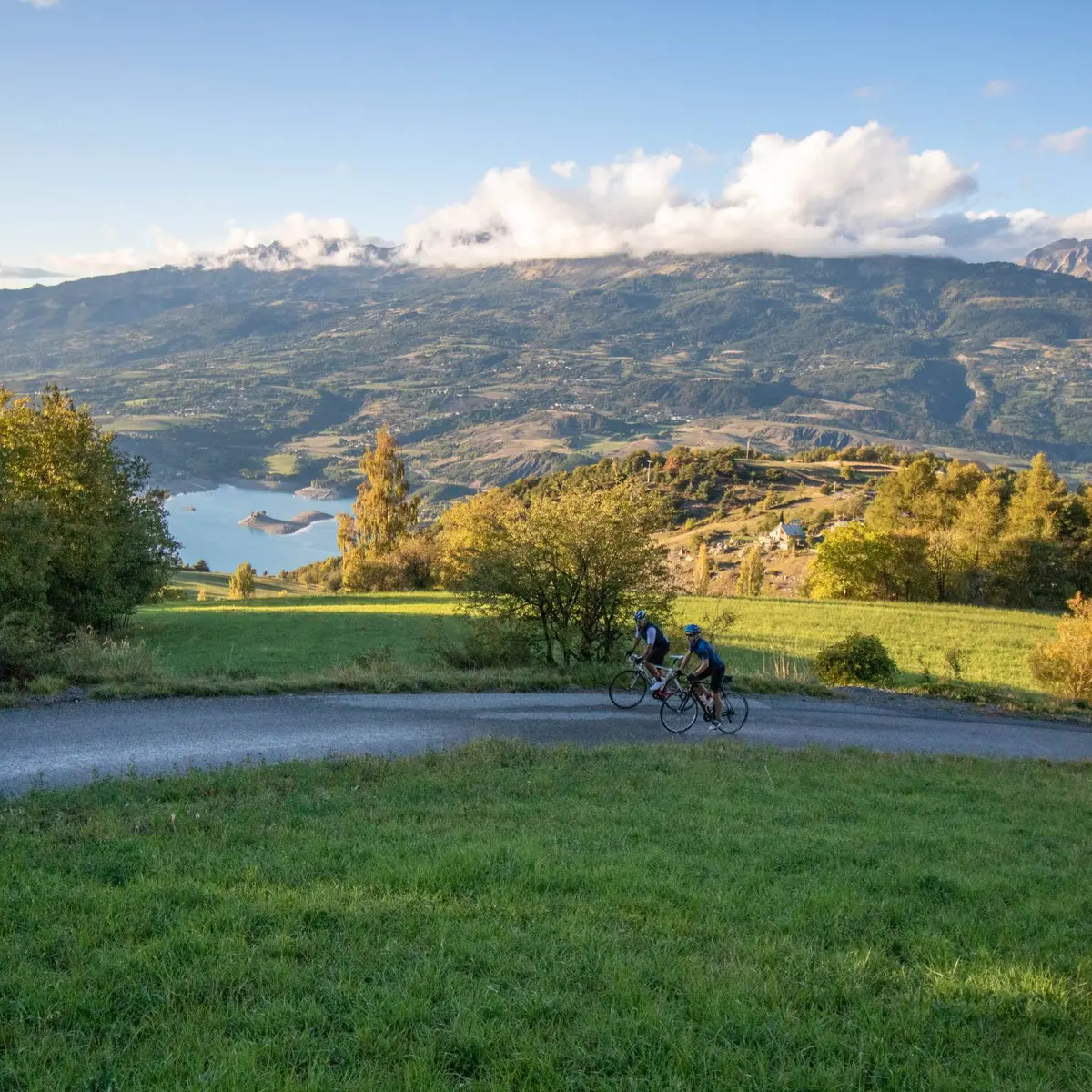
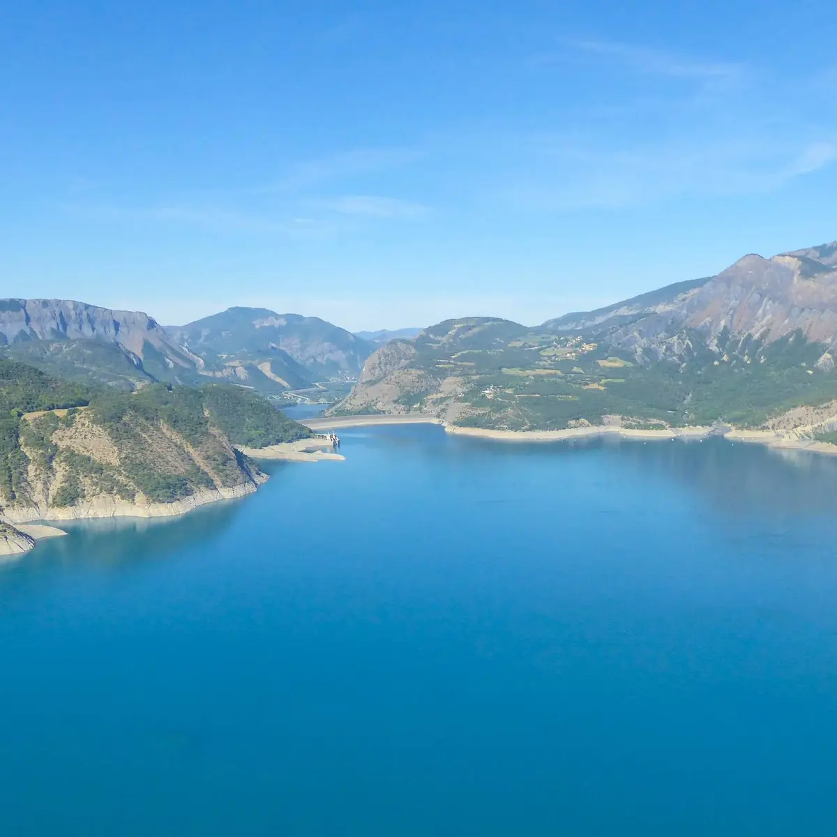
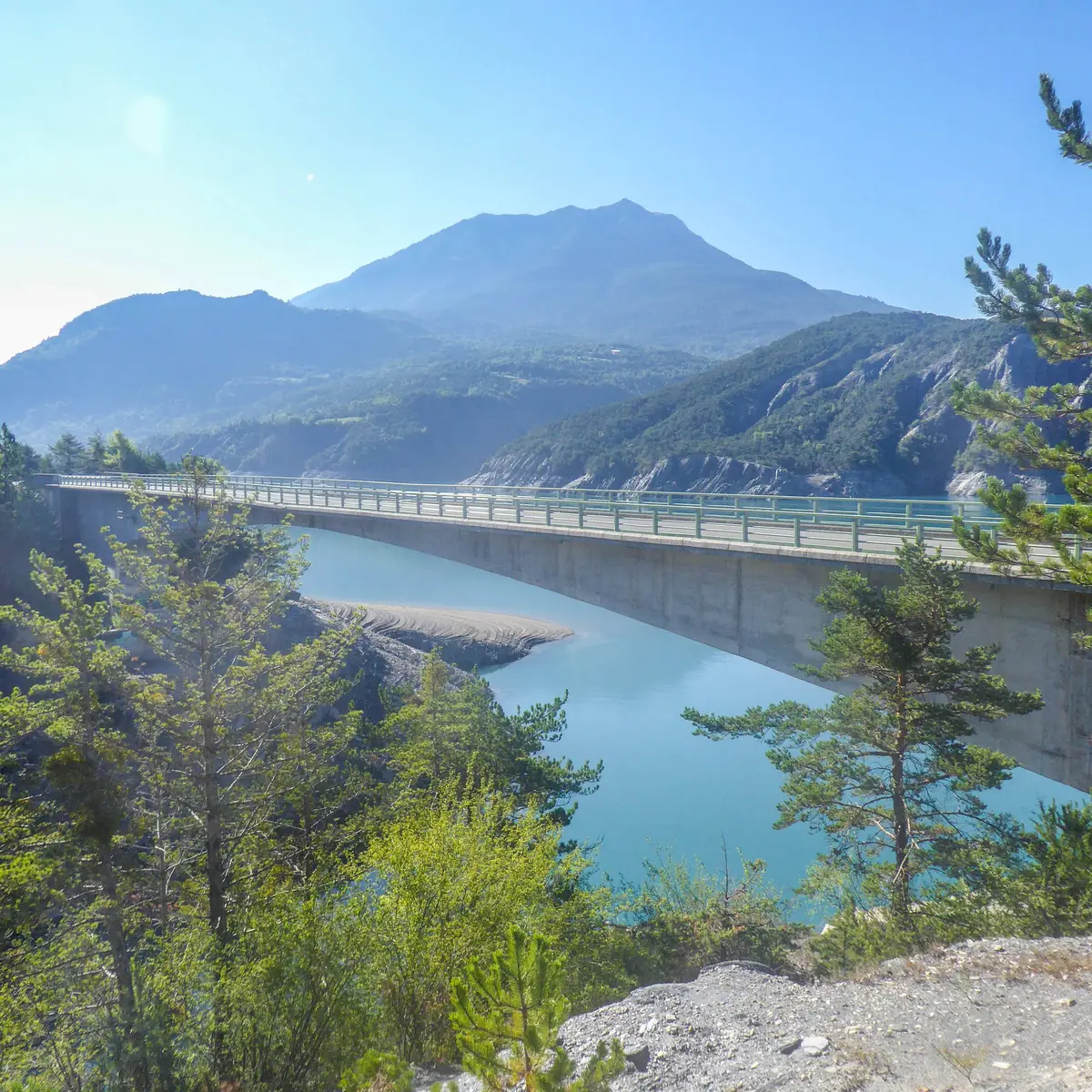
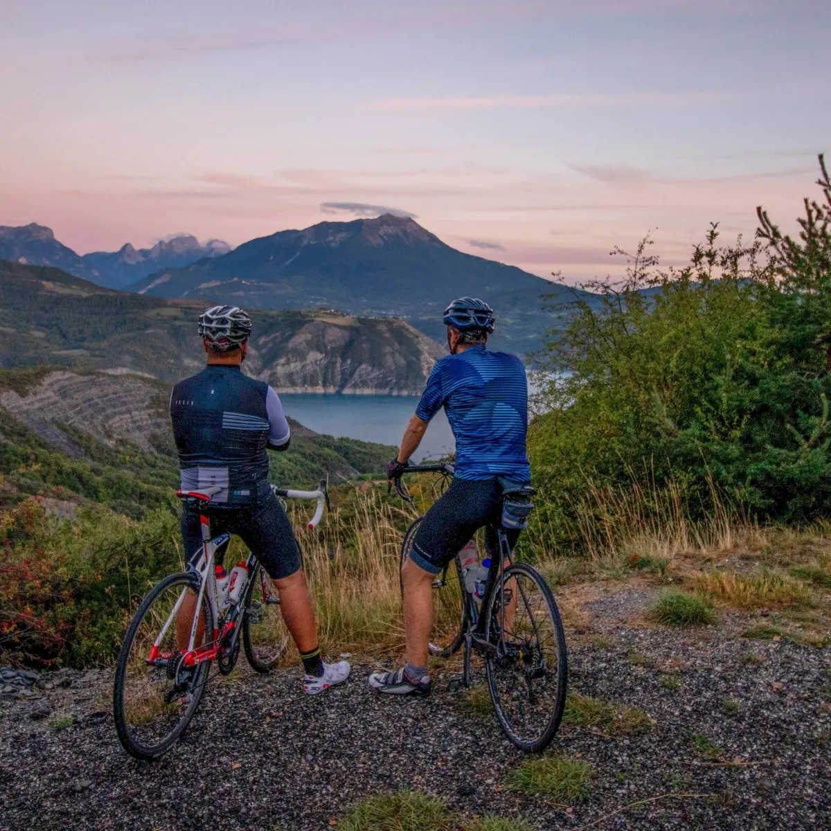
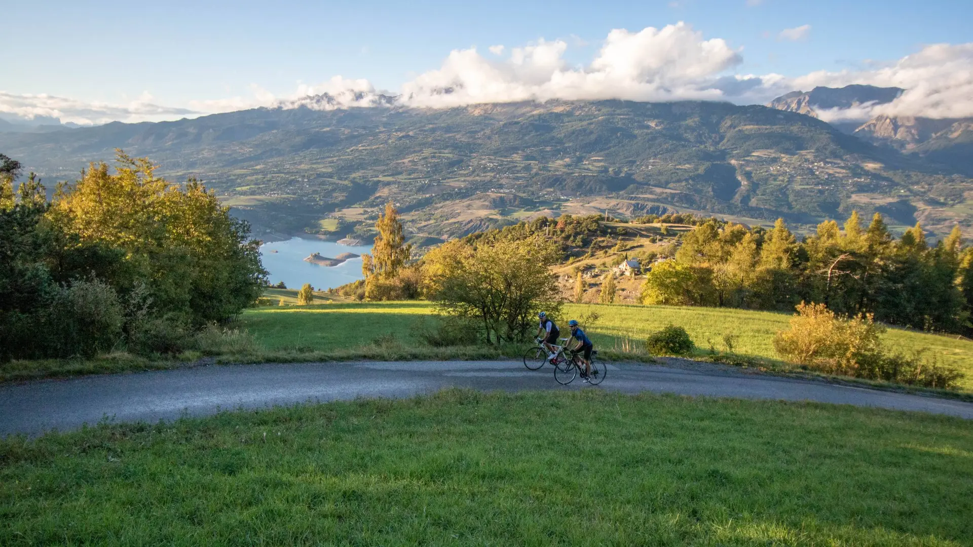
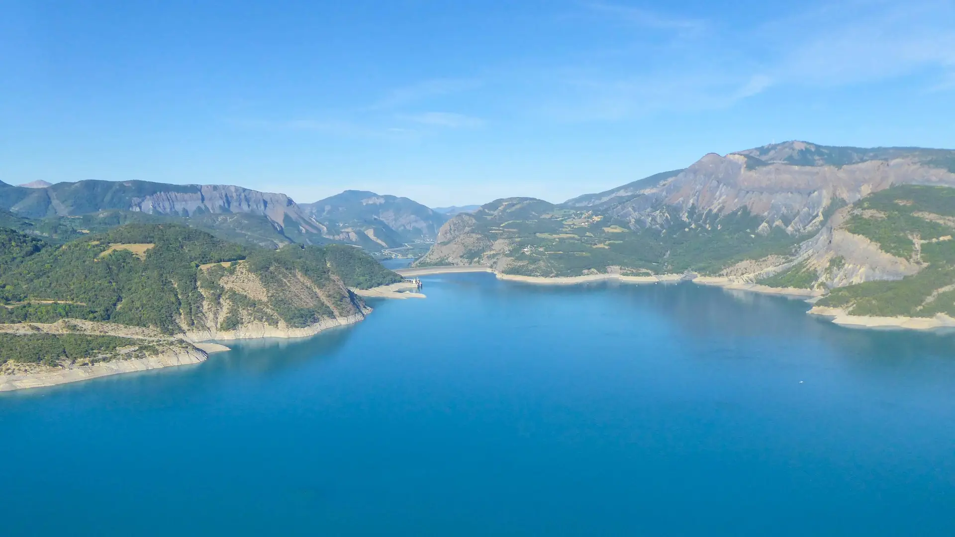
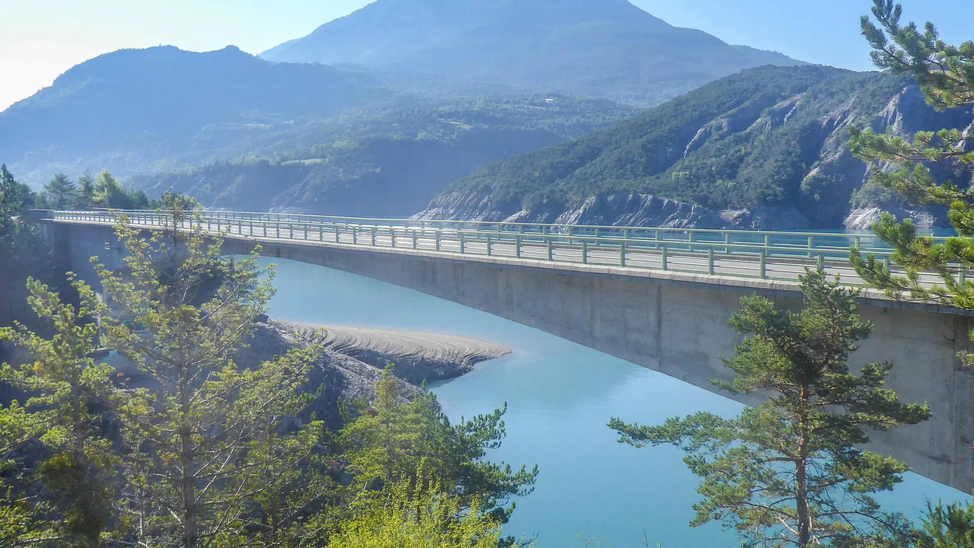
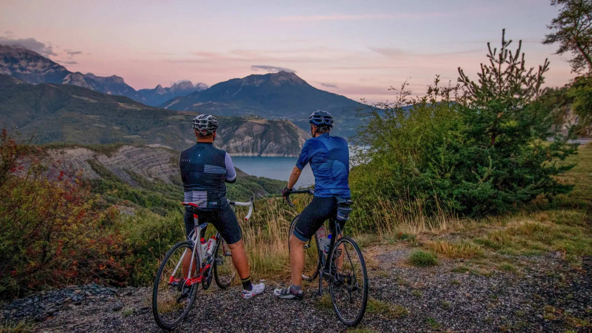
A real sporting challenge, this route is aimed at all cycling enthusiasts looking for a personal challenge. A tour of France's largest man-made lake has to be earned!
-
From the station, head down towards Embrun town centre then, at the roundabout, turn right following the signs for "Hôpital -Urgences". Follow this avenue (Alexandre Didier) for 1 km and turn right at an imposing stone wall. Take the D9 towards Puy-Sanières and, after a short warm-up, things start to get serious with a 6km climb and an average gradient of 7%. This route offers beautiful views, while passing through wooded areas and grey marl landscapes.
Finally pass Puy-Sanières and now head...From the station, head down towards Embrun town centre then, at the roundabout, turn right following the signs for "Hôpital -Urgences". Follow this avenue (Alexandre Didier) for 1 km and turn right at an imposing stone wall. Take the D9 towards Puy-Sanières and, after a short warm-up, things start to get serious with a 6km climb and an average gradient of 7%. This route offers beautiful views, while passing through wooded areas and grey marl landscapes.
Finally pass Puy-Sanières and now head towards Réallon, still on the D9. The view is unobstructed and offers a lovely vantage point over the Ecrins massif. Fairy chimneys, torrents and marl follow one another in an environment where deciduous and coniferous trees mingle. Then head past Les Méans and, at the next junction, turn left towards Savines-le-Lac (D9).
Pass Les Rousses and, at the roundabout, continue towards Chorges (D9) for a lovely, gentle descent to the village of Saint-Apollinaire. Take a short break at the lookout (great view of Lake Serre-Ponçon) before continuing on to Chorges (D9). Head downhill for 8 km, keeping an eye on your speed (it's easy to get carried away!) as far as the centre of Chorges and, when you come to a "no-go" sign, turn left towards Espinasses.
Tackle the Col Lebraut (D3) with its 7km ascent and, at the summit, make a short stop to enjoy a panoramic view of the lake. Begin a new descent towards the Durance valley. You'll have to go through a tunnel, so you'll need lighting for visibility. Drive past the Serre-Ponçon dam, admiring the quality of its construction, reach a roundabout and follow the signs for Barcelonnette (D900b).
Cross the Durance then turn right towards Selonnet (D900c). Enter the heart of the Gorges de la Blanche, a truly picturesque route nestled between the mountains. After 3km, turn left towards Les Eyrauds (C9) and take a small road. It climbs quite steeply to a pass, which offers some fine views. It descends through undergrowth until you reach the D900b. Turn right onto this departmental road. Go through the centre of La Bréole and rejoin the D900b. Shortly afterwards, climb towards the Col des Fillys (D7) for 2 km, then turn left towards Les Laphonds. Continue downhill towards the D900b (fire station) and turn right. The landscape opens up even more, with panoramic views of the Serre-Ponçon lake, the Ubaye and its mountainous terrain. After a lookout point, you have just 5 km to go before turning left towards Savines (D954). Continue down to the valley and cross the Ubaye river.
Continue along this pleasant lakeside road then climb towards Le Sauze-du-Lac. The panorama is as splendid as ever. Continue on to Savines-le-Lac, still enjoying the beautiful views, then continue towards Briançon on the N94. At the village of Crots, turn right and take the narrow road that runs past the foot of the château of Picomtal. Climb up to Le Poêt, through a series of bends, then follow the signs for Baratier on a short descent. Take the D40 for a short stretch before turning right towards Crévoux. Walk for almost 3 km, then cross the Durance on a metal bridge (wooden floor) towards the citadel of Embrun. Finally, take the last ascent back to the starting point.
Hard
- Departure
- Embrun
-
-
Difference in height
- 3458.38 m
-
-
-
Departure : Station car park, Embrun.
Arrival : Station car park, Embrun.
Road access : Follow the N94 from Gap or Guillestre to Embrun..
Parking recommended : Station car park, Embrun .
Public transport : From Gap:
Zou! network : Line 69 / Frequency : 5 times a day
From Briançon
Zou! network : Line 69 / Frequency : Every 4 hours
For more information: https://zou.maregionsud.fr
NCF bus
More info: https://www.sncf-connect.com .
- See all reviews
- 3458 meters of difference in height
-
- Maximum altitude : 1279 m
- Minimum altitude : 658 m
- Total positive elevation : 3458 m
- Total negative elevation : -3503 m
- Max positive elevation : 225 m
- Min positive elevation : -189 m
