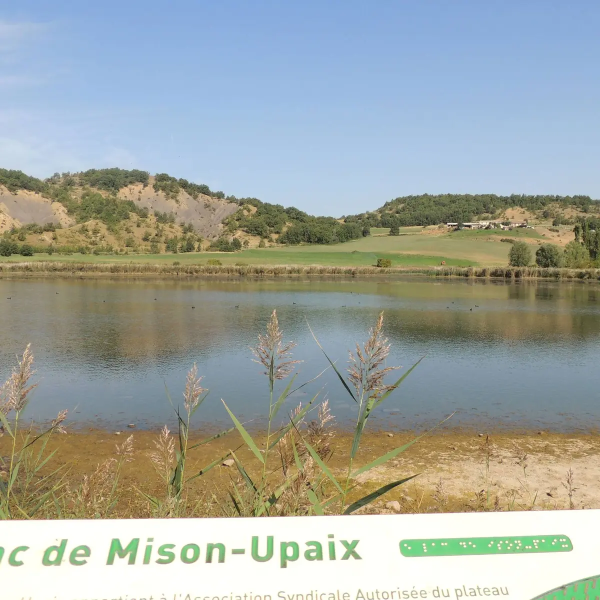
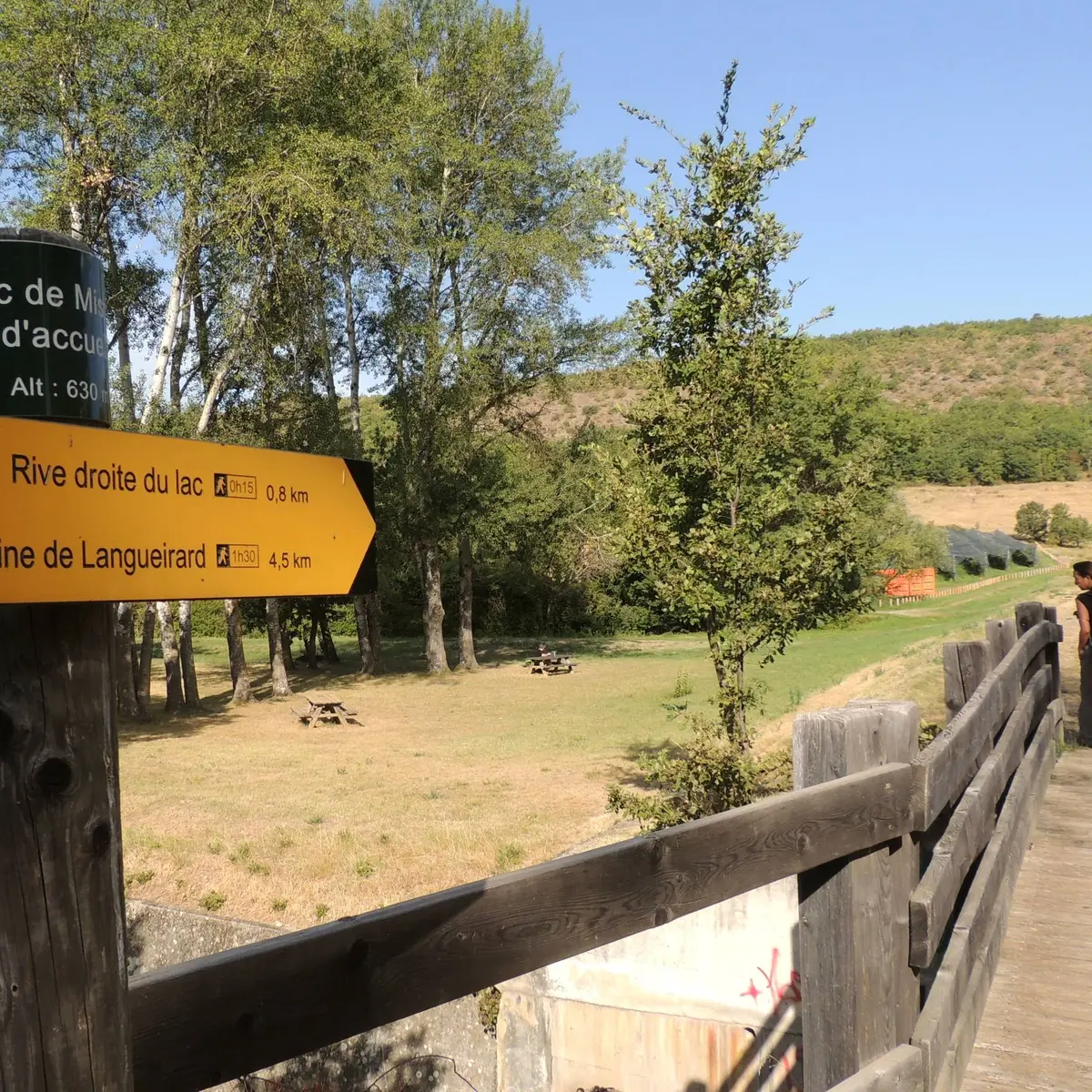
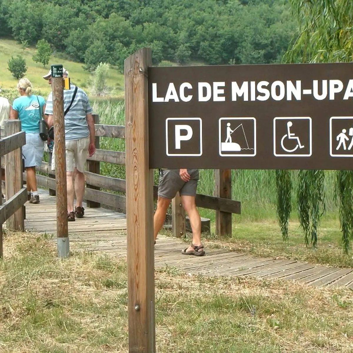
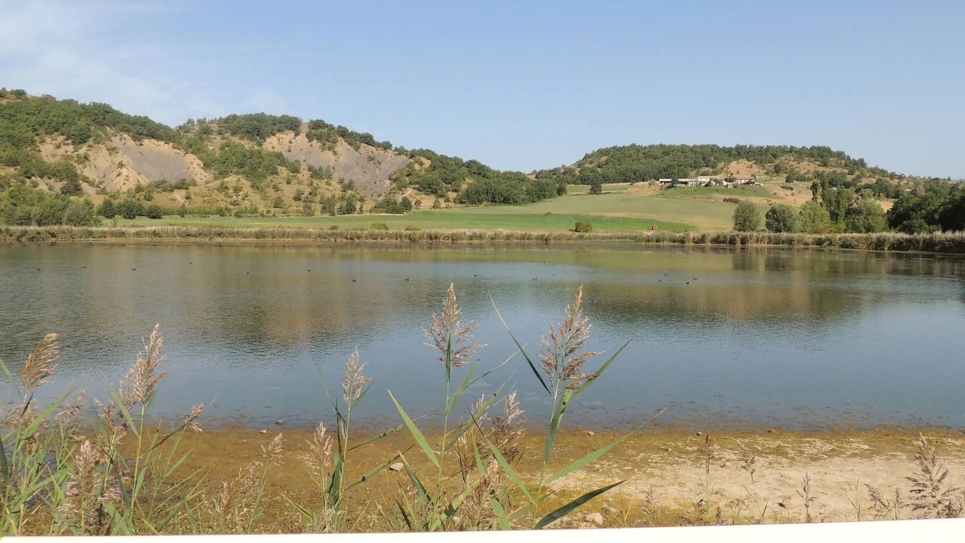
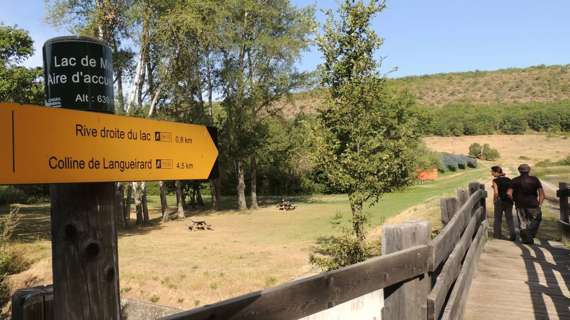
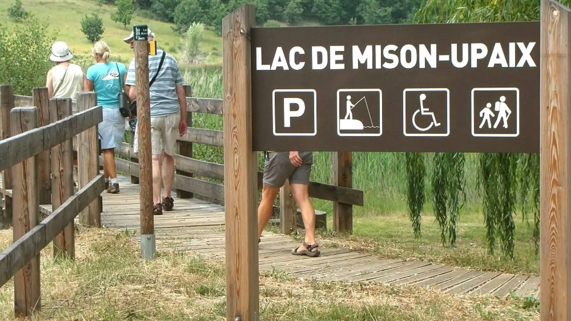
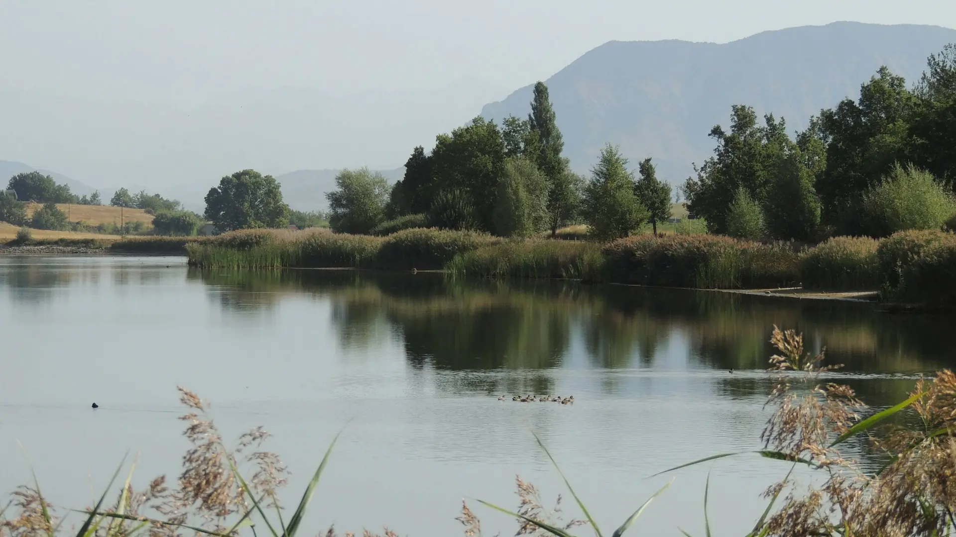
This hike leads you all around the Mison Lake following the the layouts made around this sensitive natural space (tables, benches, fishing pontoons, wooden platform, interpretive signage, etc.).
The Lake of Mison is a sensitive departmental natural area
Very easy
Read more
Tips
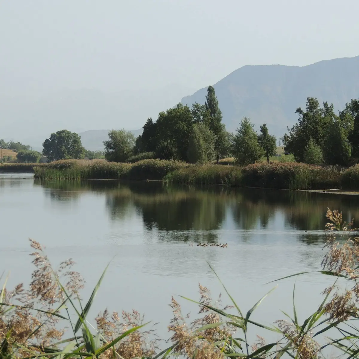
The Mison Lake site is a protected Sensitive Natural Area. Passage through the reed bed, on the right bank, is prohibited during the bird nesting period (from February 1st to June 30th)