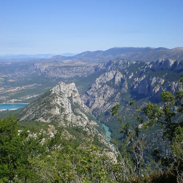
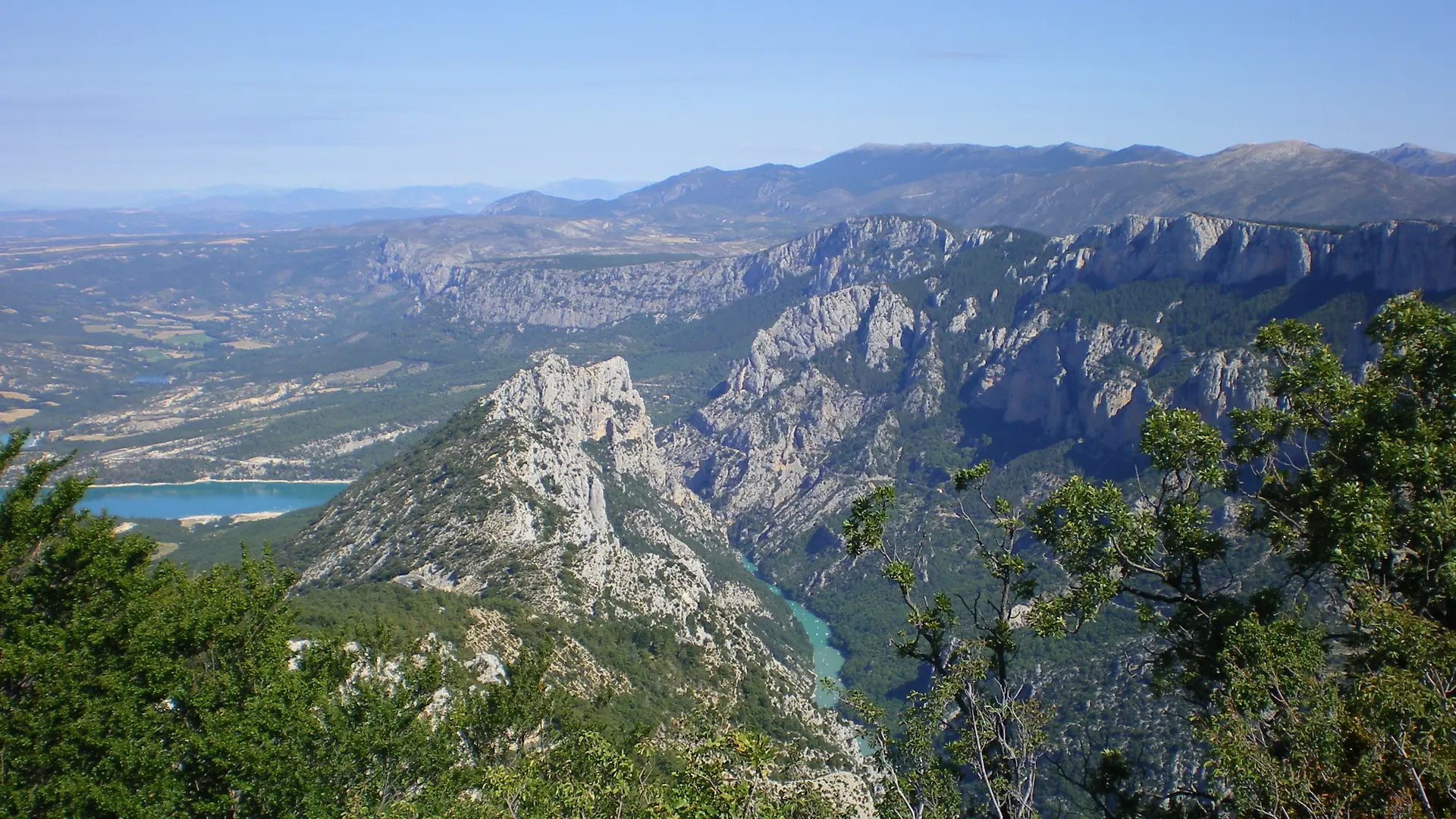
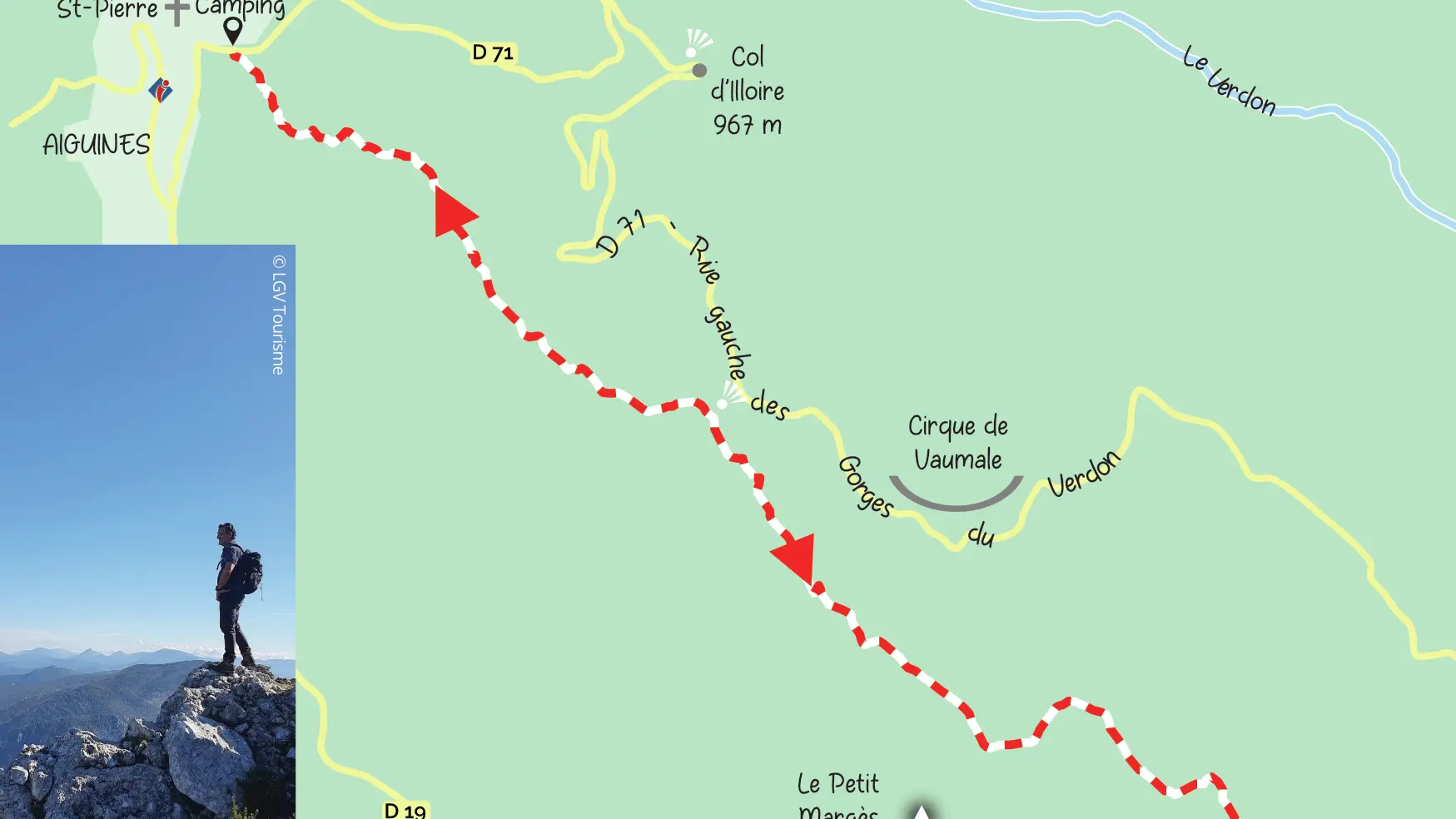
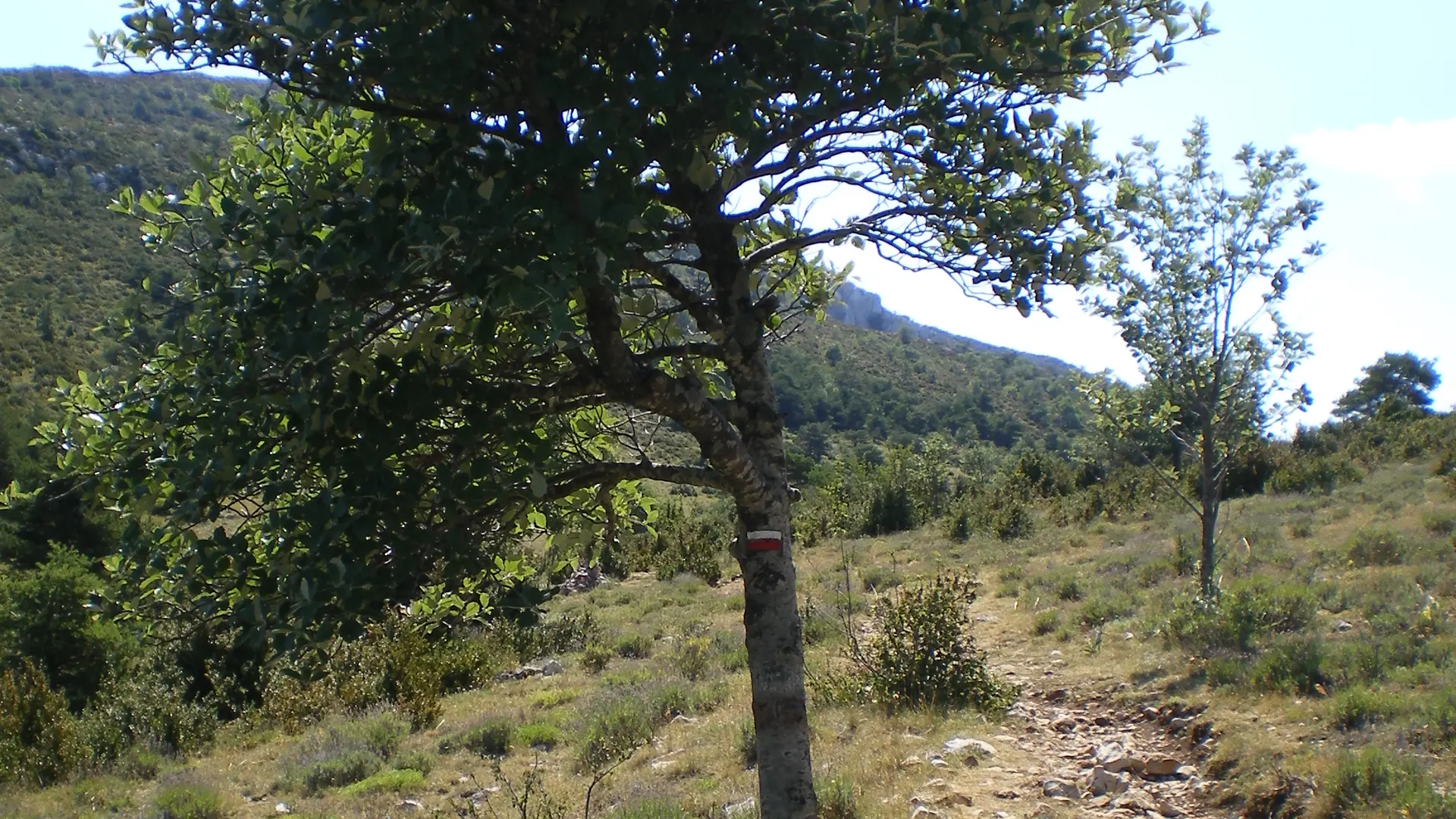
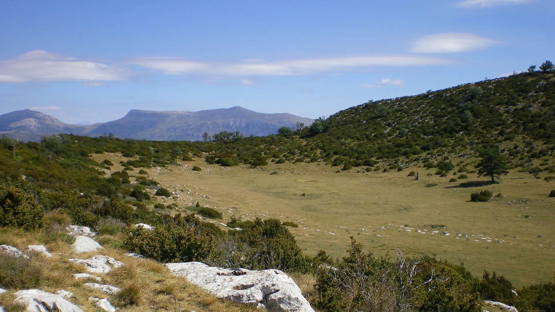
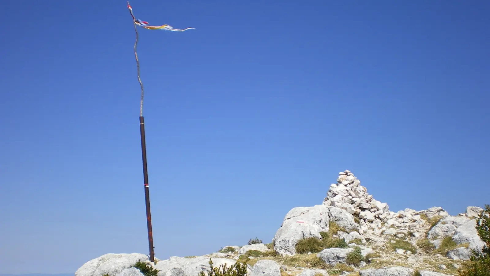
Walking tour of the Verdon Gorges: Stage 6 - Les Cavaliers - AiguinesThis 7-day itinerary takes you from one side of the emblematic Verdon Gorges site to the other, linking 7 communes and 2 departements all involved in the Verdon Gorges "Grand...
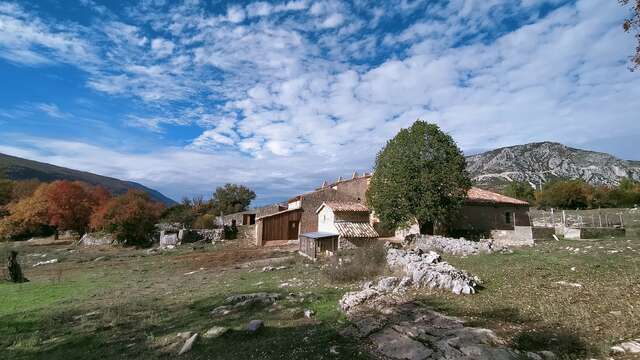
Aiguines