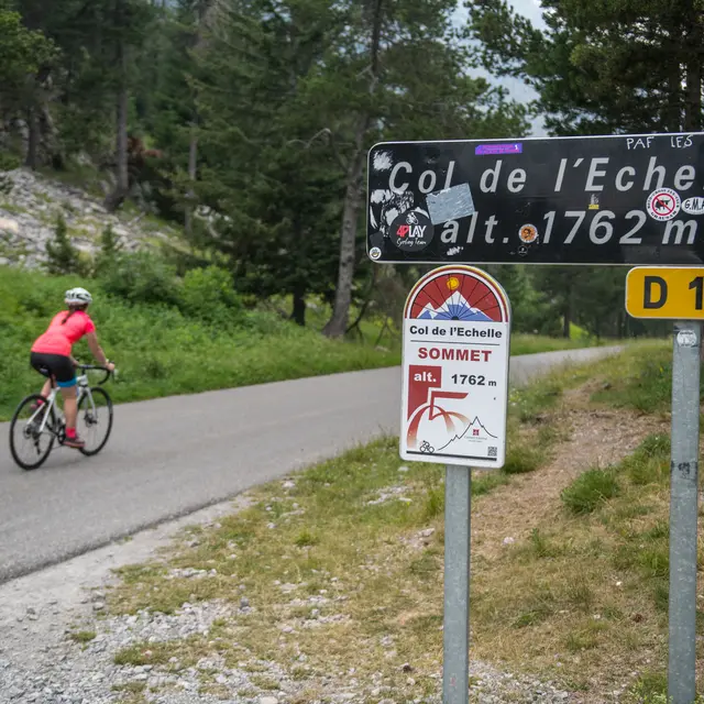
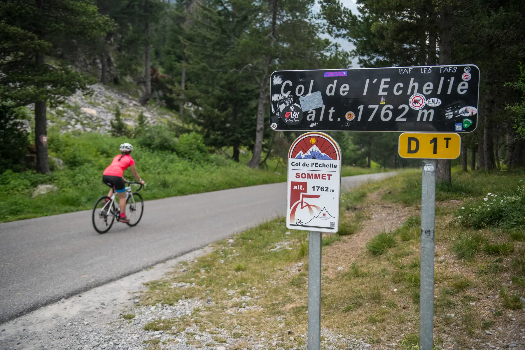
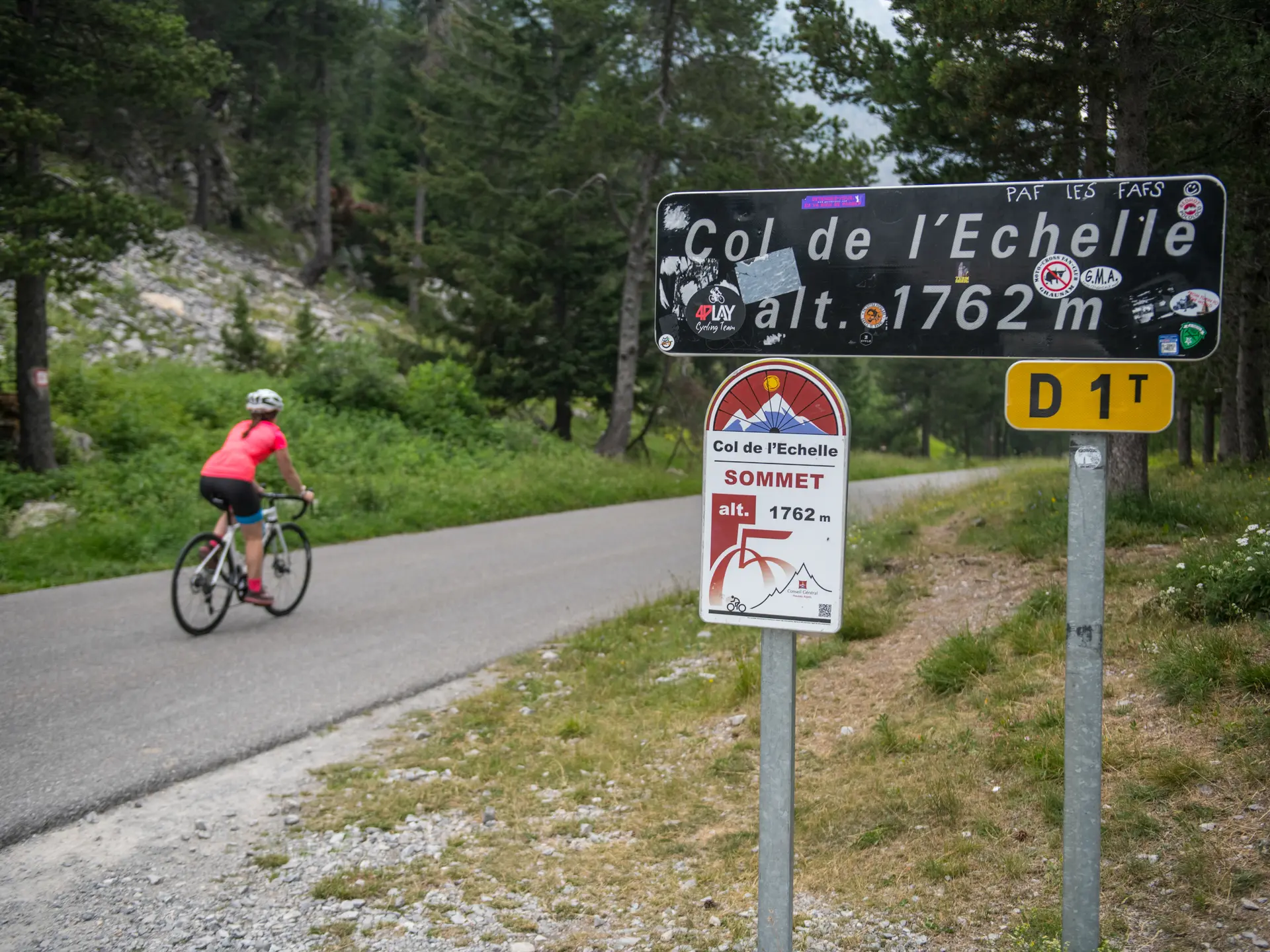
Far from the mythical, busy passes, the Col de l'Echelle has retained an almost timeless spirit. This ascent from the Italian town of Bardonecchia will require a certain amount of stamina.
From the vast Campo Smith parking lot with its ski lifts, the first section to leave the town in the direction of the Vallée Étroite is fairly easy (2% on average). The slope then steepens to reach Les Mélèzets (6.5%), levels out very briefly and then begins a climb to the start of the Col. The most difficult part comes next, with a gradient of between 6% and 8.5% until you reach the vast Col plateau.
Length from Bardonecchia: 10 km
Vertical drop: 600 m
Average gradient: 5%.
Maximum gradient: 8.5%.
Follow the Cols Réservés calendar: cycling enthusiasts can realize their dreams in complete safety: the climbs of mythical cols and resorts are closed to motorized traffic and reserved for cyclists in the morning. Free access, open to all, with no registration, no ranking, no start and no finish.
Read more