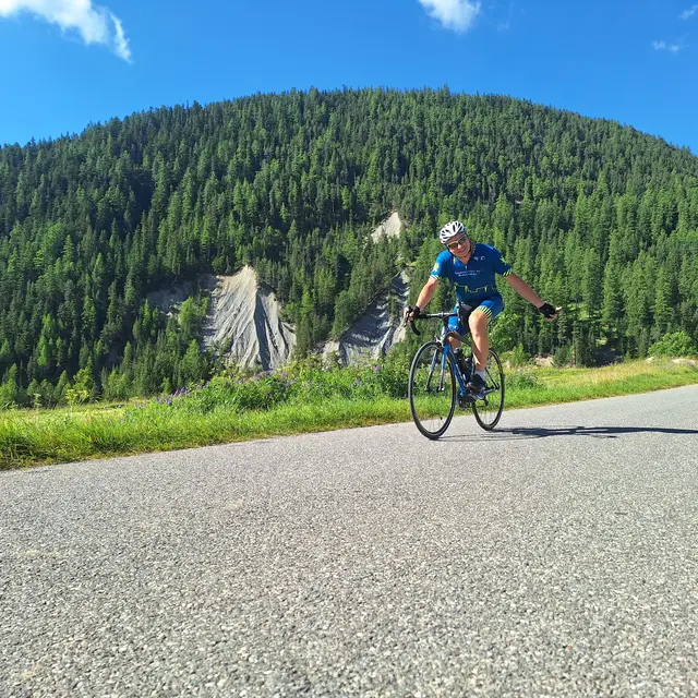
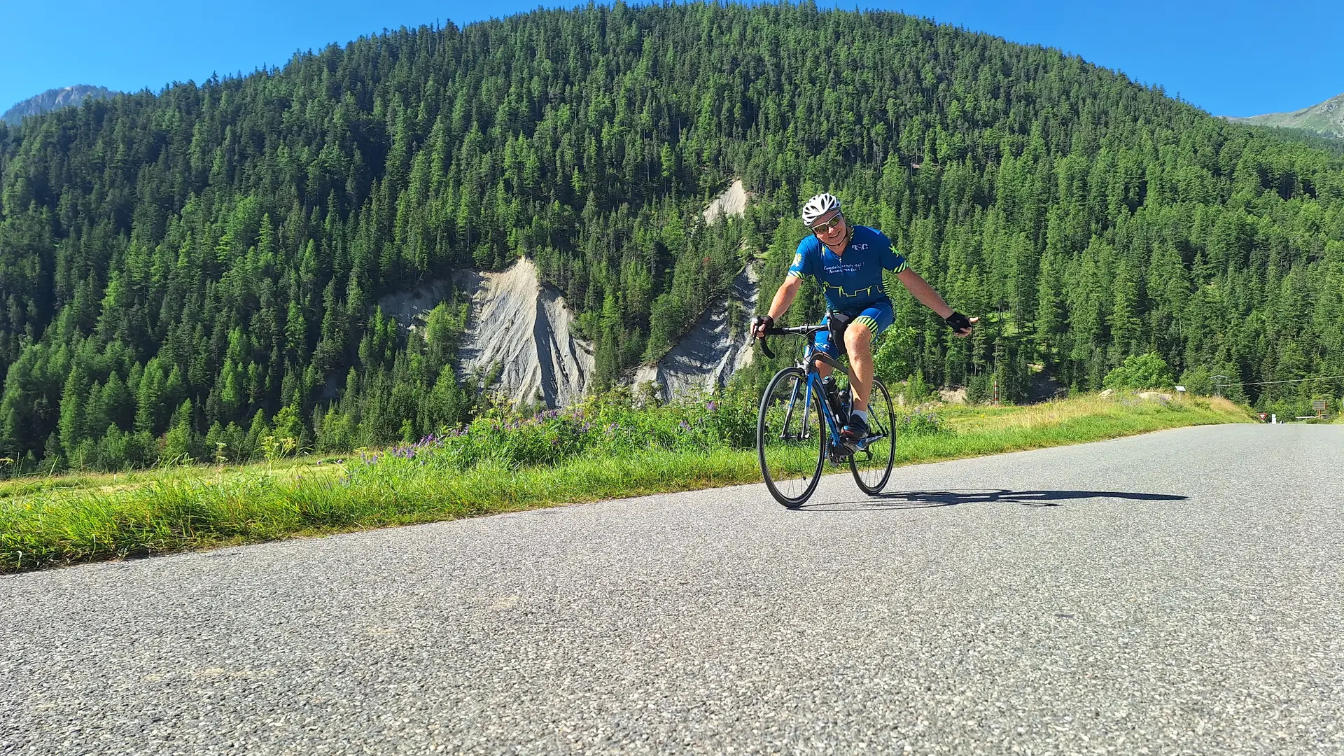
The Col de l'Echelle is a must for cyclists in the Briançonnais region.
Culminating at 1762m, your departure from the hamlet of La Vachette (1360m) will clock in at 17km (one way) and just over 400 metres of ascent on a small asphalt road.
The ascent to the Col de l'Echelle is a gentle one via the hamlets of Val-des-Prés and Plampinet, with an average gradient of 3%.
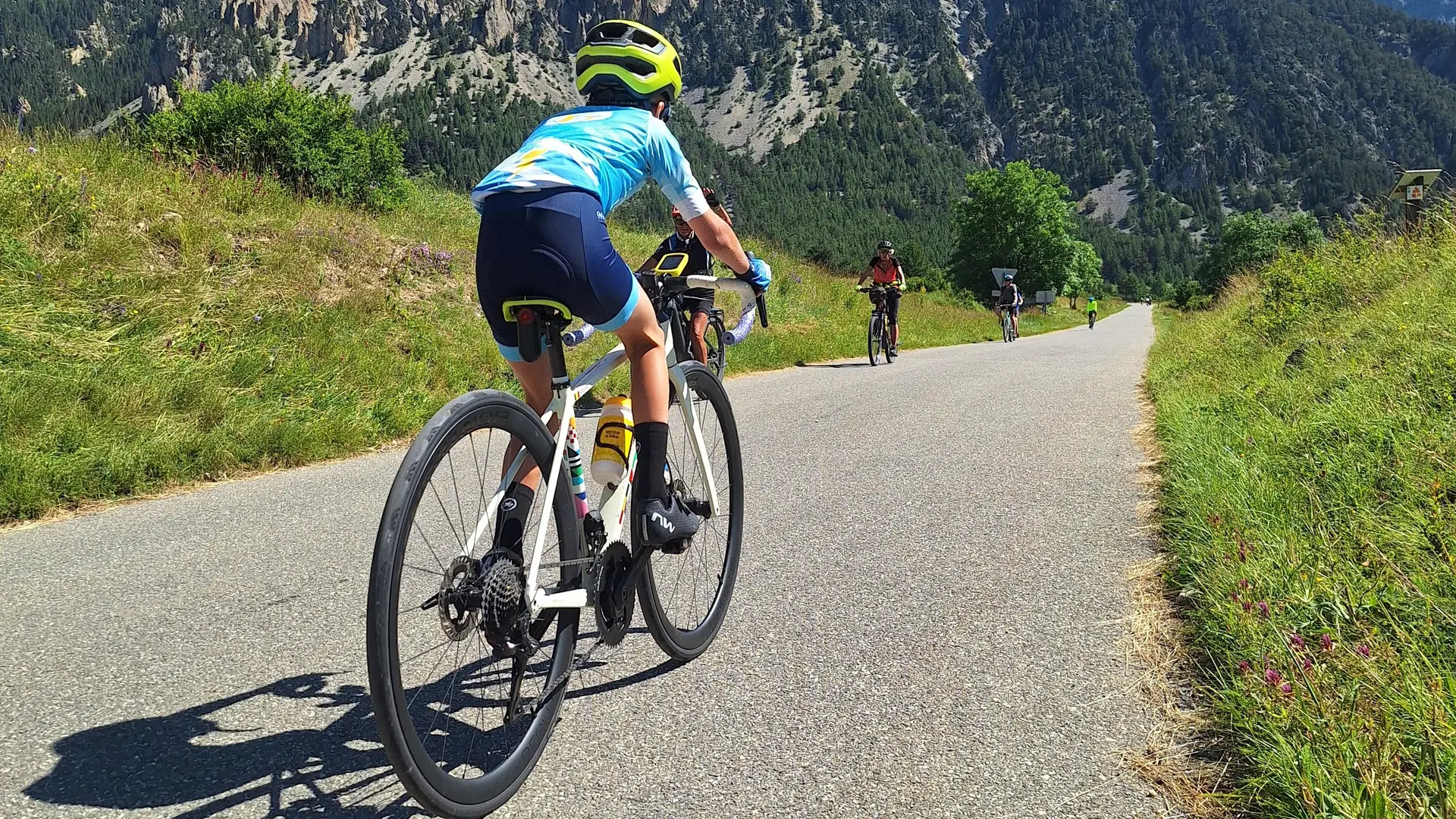
Once you've reached Névache, the hardest part begins, with 3 km at a gradient of almost 8%, before returning to the plain of the Col de l'Echelle and descending on the Vallée Étroite side for 12 km.
On your return, don't hesitate to pedal through the various hamlets of Névache, to visit this mountain village at an altitude of almost 1600 metres.
Length from La Vachette: 17 km
Difference in altitude: 400 m
Average gradient: 2.3%
Maximum gradient: 9.4%
Follow the Cols Réservés calendar: cycling enthusiasts can realize their dreams in complete safety: the climbs of mythical cols and resorts are closed to motorized traffic and reserved for cyclists in the morning. Free access, open to all, with no registration, no ranking, no start and no finish.
Read more